Flint Clough
Valley in Derbyshire High Peak
England
Flint Clough

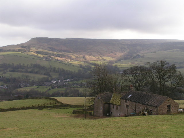
Flint Clough is a picturesque valley located in Derbyshire, England. Situated in the Peak District National Park, it is known for its stunning natural beauty and rich history. The valley is formed by the meandering Flint Brook, which flows through the area, providing a serene atmosphere.
The landscape of Flint Clough is characterized by rolling hills covered in lush greenery, dotted with charming stone cottages. The valley is also home to a variety of wildlife, including birds, sheep, and rabbits, making it a haven for nature enthusiasts and hikers.
One of the notable features of Flint Clough is the presence of several old lead mines, which were active during the 18th and 19th centuries. These mines are a testament to the area's industrial past and offer a glimpse into the lives of the miners who worked there. Today, the mines serve as a reminder of the region's heritage and are popular attractions for visitors.
Flint Clough offers numerous walking trails, allowing visitors to explore its natural wonders. The valley is particularly beautiful during springtime when wildflowers bloom, creating a vibrant and colorful display. Additionally, the area's proximity to other attractions, such as Chatsworth House and Bakewell, makes it an ideal base for exploring the wider Derbyshire region.
Overall, Flint Clough is a hidden gem, offering tranquility, natural beauty, and a glimpse into the area's fascinating history. Whether you are a nature lover, history enthusiast, or simply seeking a peaceful retreat, this valley is a must-visit destination in Derbyshire.
If you have any feedback on the listing, please let us know in the comments section below.
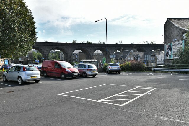
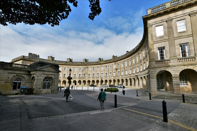
Flint Clough Images
Images are sourced within 2km of 53.276204/-1.9216948 or Grid Reference SK0575. Thanks to Geograph Open Source API. All images are credited.


Flint Clough is located at Grid Ref: SK0575 (Lat: 53.276204, Lng: -1.9216948)
Administrative County: Derbyshire
District: High Peak
Police Authority: Derbyshire
What 3 Words
///clash.punk.lordship. Near Buxton, Derbyshire
Nearby Locations
Related Wikis
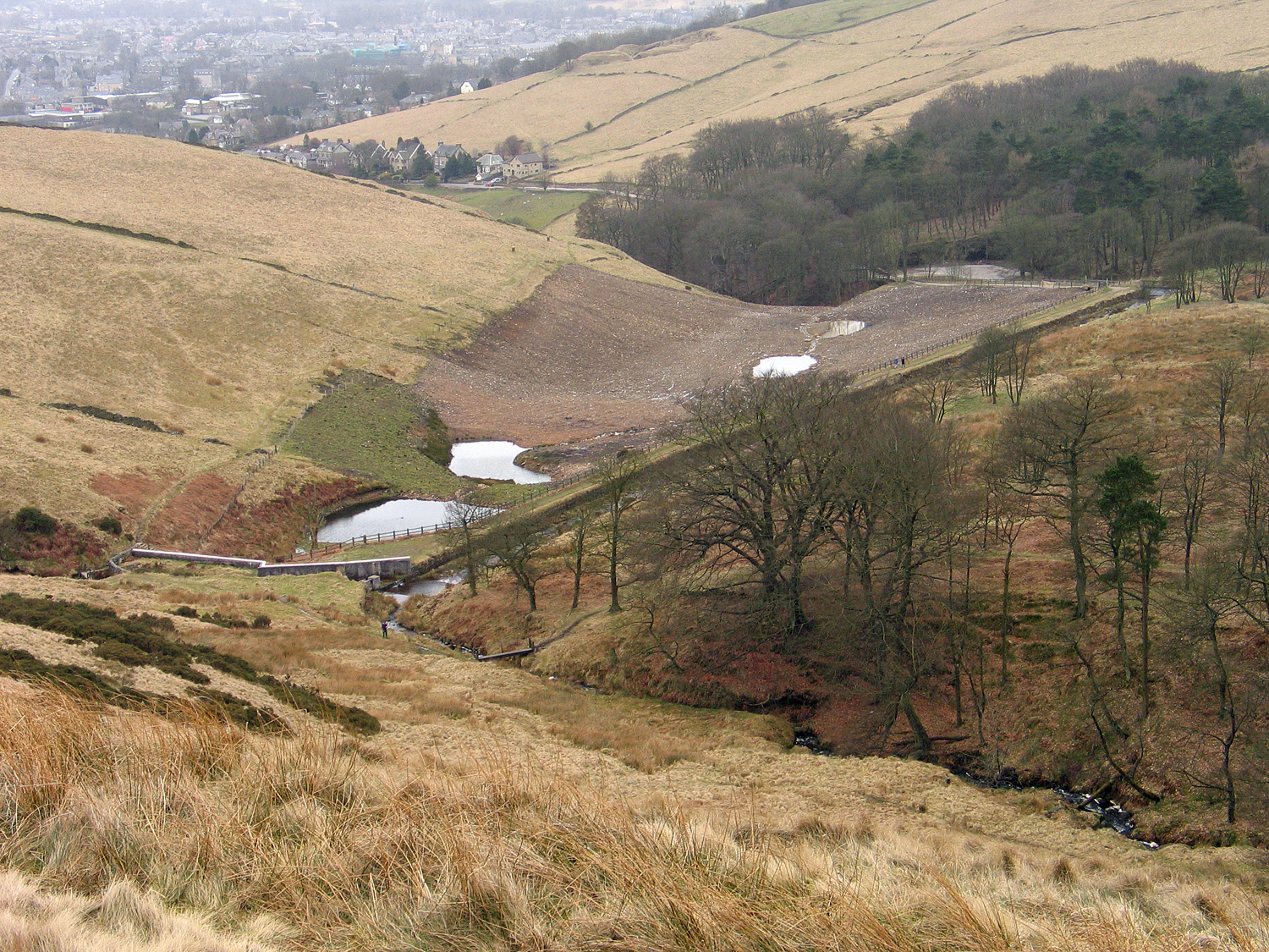
Lightwood Reservoir
Lightwood Reservoir is an empty reservoir near the town of Buxton, Derbyshire, and associated wildlife reserve. Formerly operated by Severn Trent Water...
Combs Moss
Combs Moss is a plateau-topped hill between Chapel-en-le-Frith and Buxton in Derbyshire, in the Peak District. The summit, Combs Head, is 503 metres (1...

Corbar Hill
Corbar Hill is a sandstone hill at the south end of Combs Moss, overlooking Buxton in Derbyshire, in the Peak District. The summit (marked by a trig pillar...

Fairfield Halt railway station
Fairfield Halt was a railway station at Fairfield near Buxton, Derbyshire that was open between 1907 and 1939. The station was opened by the London & North...
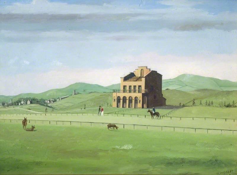
Buxton Racecourse
Buxton Racecourse was a horse racing track in the 19th century on Fairfield Common near Buxton in Derbyshire, England. In 1804 an earlier racecourse field...
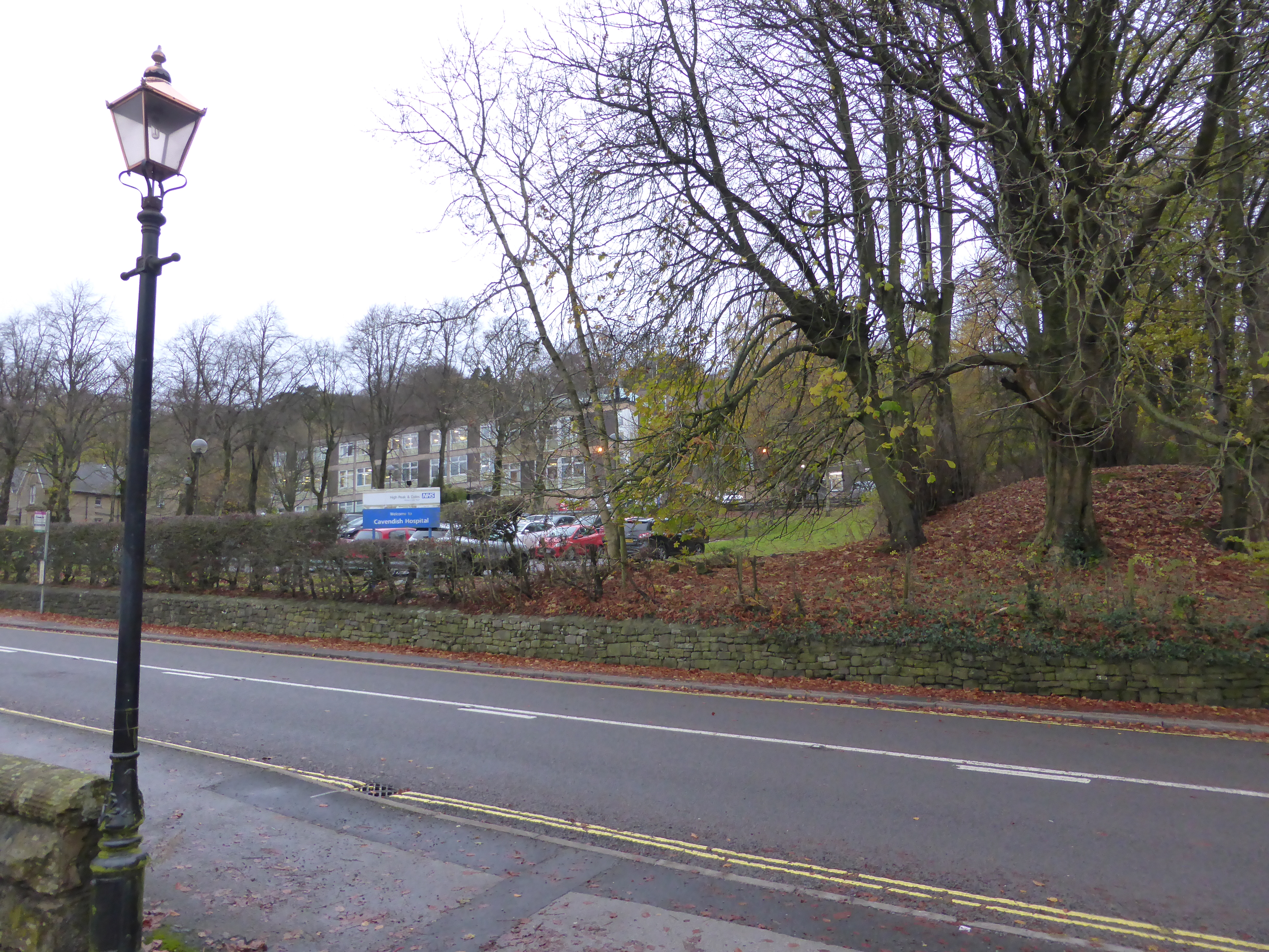
Cavendish Hospital
Cavendish Hospital is a geriatric healthcare facility in Manchester Road, Buxton, Derbyshire. It is managed by Derbyshire Community Health Services NHS...
St Thomas More Catholic School, Buxton
St Thomas More Catholic Voluntary Academy is a co-educational Roman Catholic secondary school located in Buxton in the English county of Derbyshire. The...

Buxton TMD
Buxton TMD was a traction maintenance depot in Buxton, Derbyshire, England. The depot was situated on the west side of the Buxton line, to the immediate...
Nearby Amenities
Located within 500m of 53.276204,-1.9216948Have you been to Flint Clough?
Leave your review of Flint Clough below (or comments, questions and feedback).