Dry Clough
Valley in Yorkshire
England
Dry Clough
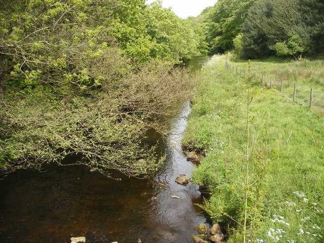
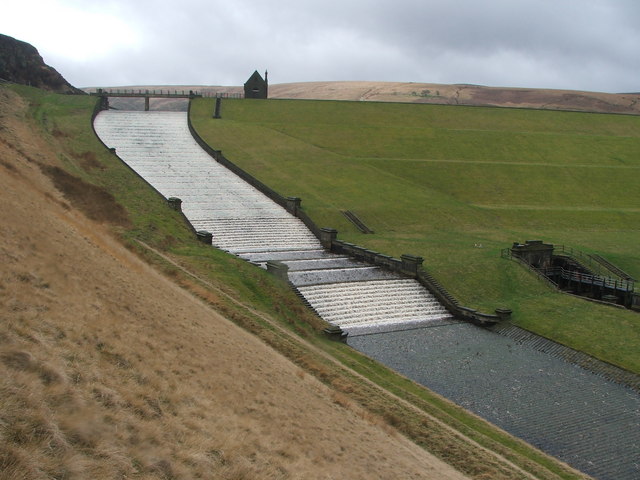
Dry Clough is a picturesque valley located in Yorkshire, England. Situated in the heart of the Pennines, this valley offers breathtaking natural beauty and a peaceful atmosphere. Surrounded by rolling hills and dense forests, Dry Clough is a haven for nature lovers and outdoor enthusiasts.
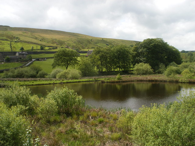
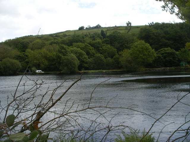
The valley is named after the dry streambed that runs through it. The absence of a flowing river gives Dry Clough a unique charm and character. The landscape is dominated by rocky outcrops, heather moorlands, and patches of peat moss. These diverse habitats support a wide range of flora and fauna, including rare plant species and various bird species.
The valley is crisscrossed by a network of footpaths and trails, making it a popular destination for hikers and walkers. The trails offer stunning views of the surrounding countryside, with opportunities to spot wildlife along the way. Dry Clough is also home to several waterfalls, adding to its scenic appeal.
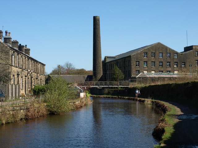
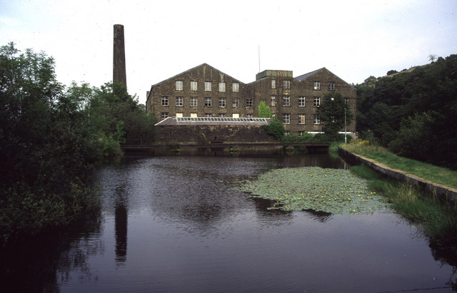
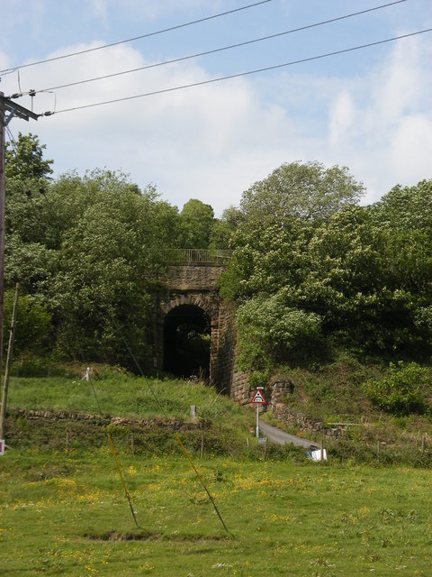
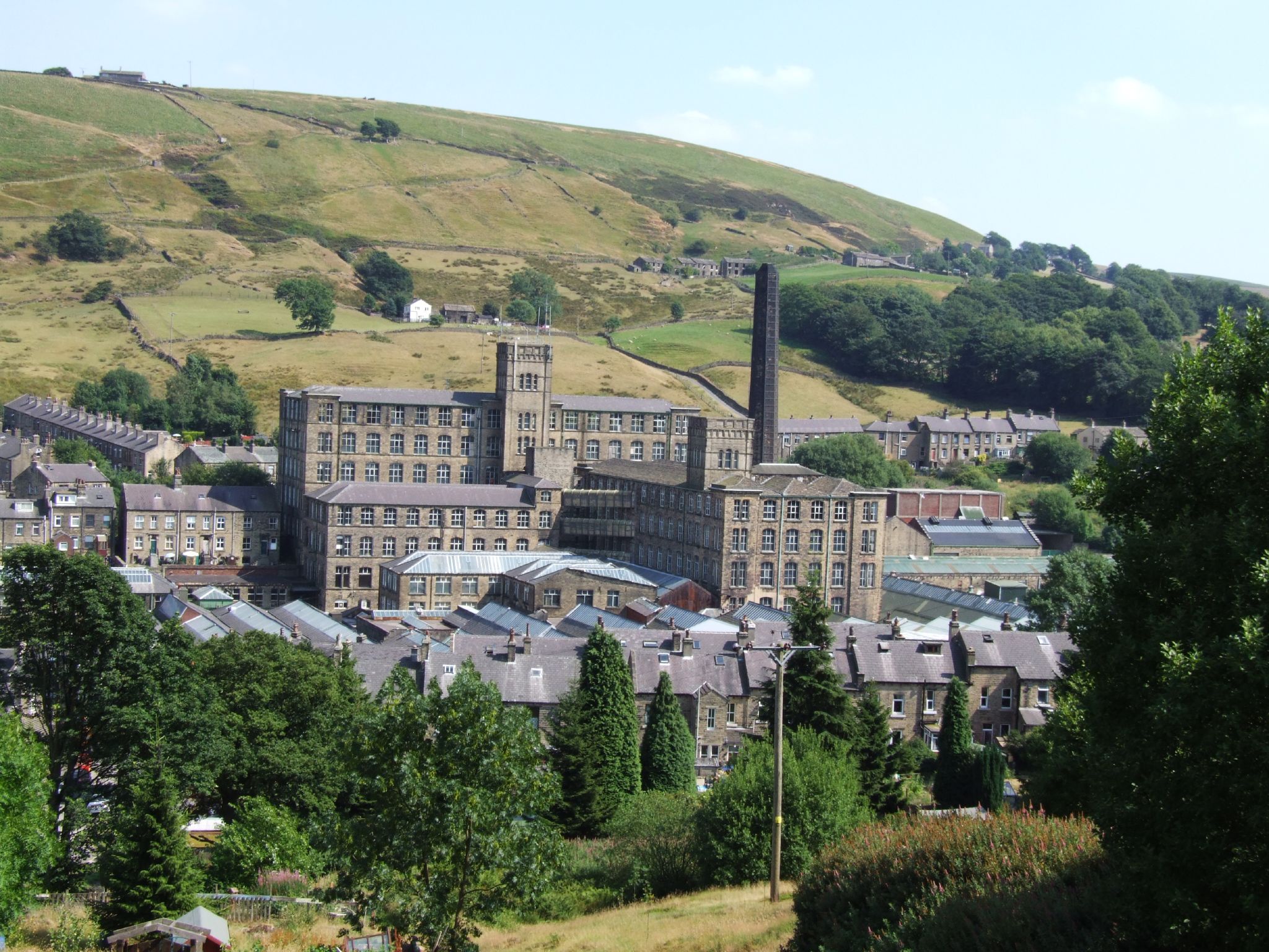
In addition to its natural beauty, Dry Clough has historical significance. The valley was once a hub for textile mills during the Industrial Revolution, and remnants of these mills can still be seen today. Visitors can explore the ruins and learn about the region's industrial past.
Overall, Dry Clough is a hidden gem in Yorkshire, offering a tranquil escape from the hustle and bustle of city life. Whether it's hiking, birdwatching, or simply taking in the serene surroundings, this valley has something to offer for everyone seeking a connection with nature and a glimpse into Yorkshire's rich history.
If you have any feedback on the listing, please let us know in the comments section below.
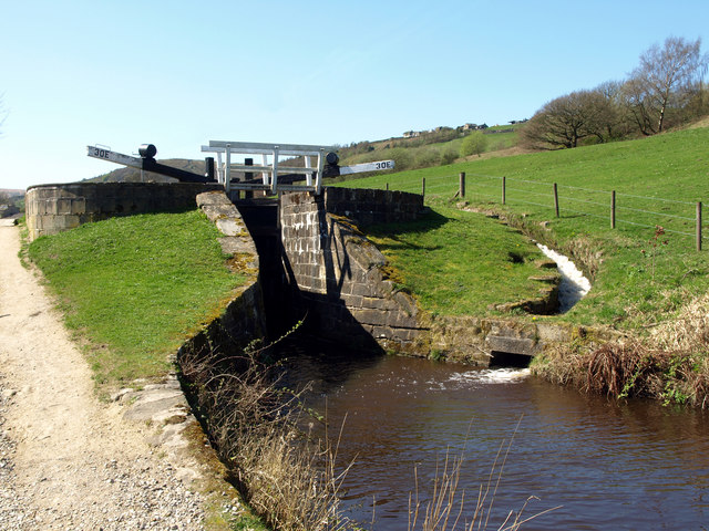
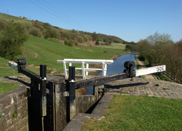
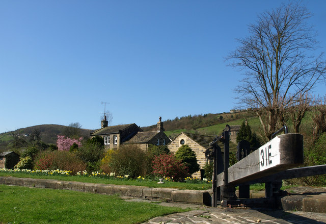
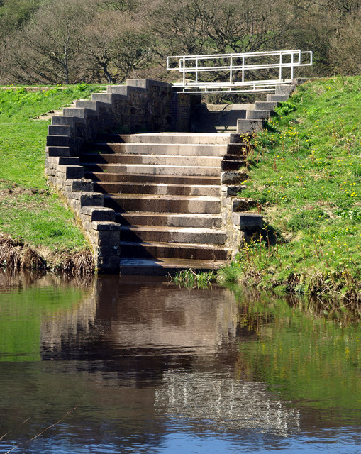
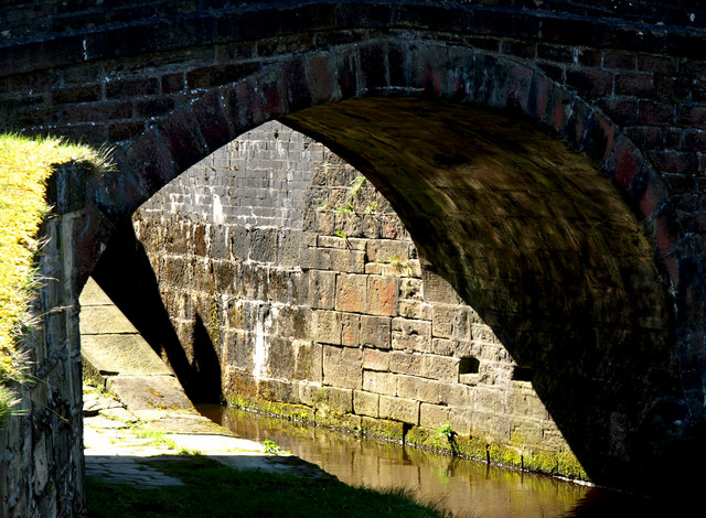
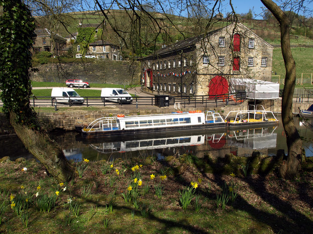
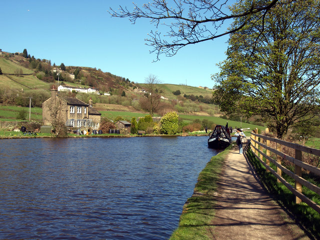
Dry Clough Images
Images are sourced within 2km of 53.615333/-1.9245928 or Grid Reference SE0513. Thanks to Geograph Open Source API. All images are credited.


Dry Clough is located at Grid Ref: SE0513 (Lat: 53.615333, Lng: -1.9245928)
Division: West Riding
Unitary Authority: Kirklees
Police Authority: West Yorkshire
What 3 Words
///thighs.redeemed.gravest. Near Marsden, West Yorkshire
Nearby Locations
Related Wikis

Marsden railway station
Marsden railway station serves the village of Marsden near Huddersfield in West Yorkshire, England. The station is on the Huddersfield Line, operated by...
Marsden, West Yorkshire
Marsden is a large village in the Colne Valley, in the metropolitan borough of Kirklees, West Yorkshire, England. It is in the South Pennines close to...
Bank Bottom Mill
Bank Bottom Mill, later known as Marsden Mill, was from 1824 an important centre for the production of woollen cloth in Marsden, West Yorkshire, England...

Wilberlee
Wilberlee is a hamlet in the Colne Valley, in the Kirklees district, in the county of West Yorkshire, England. It is near the town of Huddersfield and...
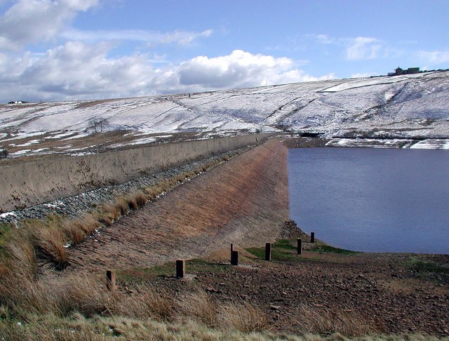
Deanhead Reservoir
Deanhead Reservoir is a reservoir near Scammonden, in the metropolitan district of Kirklees, West Yorkshire, England. It is named after Dean Head, a village...
Butterley Reservoir, West Yorkshire
Butterley Reservoir is a reservoir located near Marsden, West Yorkshire, near the Peak District National Park boundary. It was completed in 1906. The reservoir...

Marsden Moor Estate
The Marsden Moor Estate is a large expanse of moorland in the South Pennines, between the conurbations of West Yorkshire and Greater Manchester in the...

Moorside Edge
The Moorside Edge is a steeply sloping area of moorland at grid reference SE070154 just north of Slaithwaite and about 5 miles (8 km) west of Huddersfield...
Nearby Amenities
Located within 500m of 53.615333,-1.9245928Have you been to Dry Clough?
Leave your review of Dry Clough below (or comments, questions and feedback).