Lenwade
Settlement in Norfolk Broadland
England
Lenwade
Lenwade is a small village located in the county of Norfolk, England. Situated along the River Wensum, it lies approximately 12 miles northwest of Norwich, the county's capital city. Lenwade is part of the Broadland district and falls within the parliamentary constituency of Broadland.
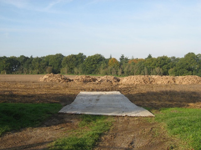
The village is known for its picturesque countryside, with a mix of farmland, meadows, and woodlands surrounding the area. The River Wensum flows through Lenwade, offering opportunities for fishing and boating. The local landscape also includes the beautiful Wensum Valley, providing residents and visitors with scenic walks and nature trails.
Lenwade is home to a small community, with a population of around 600 people. The village has a range of amenities, including a primary school, a village hall, and a post office. There are also several pubs and restaurants, offering a selection of traditional British cuisine and local ales.
One of the notable attractions in Lenwade is the Dinosaur Adventure Park, a family-friendly theme park with a focus on prehistoric creatures. The park features life-size dinosaur models, interactive exhibits, and various outdoor activities such as a dinosaur trail and adventure playgrounds.
Overall, Lenwade offers a tranquil and rural environment, making it an attractive place for those seeking a peaceful countryside lifestyle. Its proximity to Norwich also provides easy access to additional amenities and services.
If you have any feedback on the listing, please let us know in the comments section below.
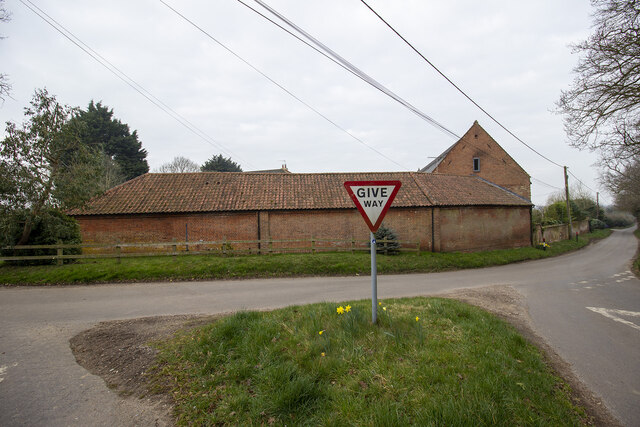
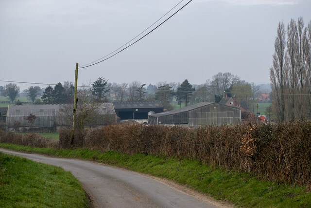
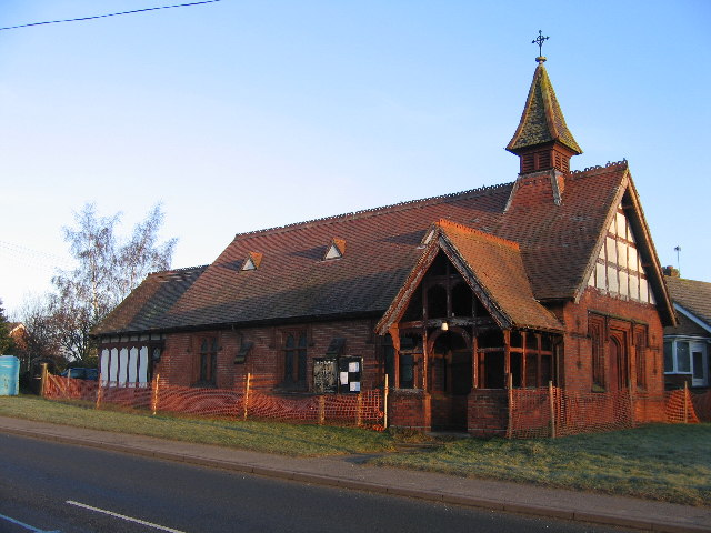
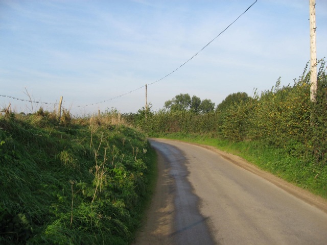
Lenwade Images
Images are sourced within 2km of 52.720484/1.113986 or Grid Reference TG1018. Thanks to Geograph Open Source API. All images are credited.


Lenwade is located at Grid Ref: TG1018 (Lat: 52.720484, Lng: 1.113986)
Administrative County: Norfolk
District: Broadland
Police Authority: Norfolk
What 3 Words
///jams.tabs.shins. Near Reepham, Norfolk
Nearby Locations
Related Wikis

Lenwade
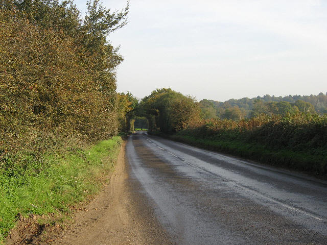
Lenwade is a village in the civil parish of Great Witchingham, Norfolk, situated in the Wensum Valley adjacent to the A1067 road 14 miles (23 km) south...
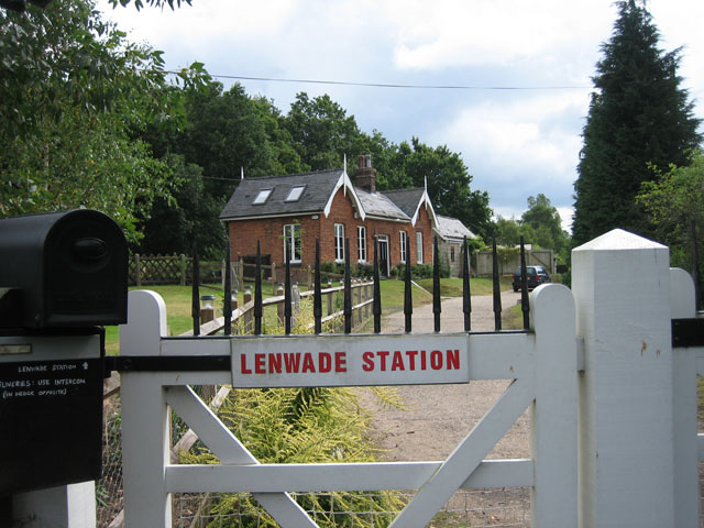
Lenwade railway station
Lenwade railway station was a railway station in North Norfolk, England. It was built by the Lynn and Fakenham Railway Company in 1882 and taken over by...

River Ainse (or Eyn)
The River Ainse (or Eyn) is a small river in the county of Norfolk. It is a tributary of the River Wensum which it merges with at Lenwade. The River Ainse...
Great Witchingham
Great Witchingham is a village and civil parish in the English county of Norfolk about 11 miles (18 km) north-west of Norwich. It covers an area of 9.12...

Morton on the Hill
Morton on the Hill is a small but scattered village and civil parish in the English county of Norfolk, about 8 miles (13 km) north-west of Norwich. The...

Alderford
Alderford is a village and civil parish in the English county of Norfolk, about ten miles (16 km) north-west of Norwich. The name 'Alderford' derives from...
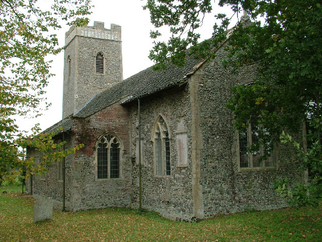
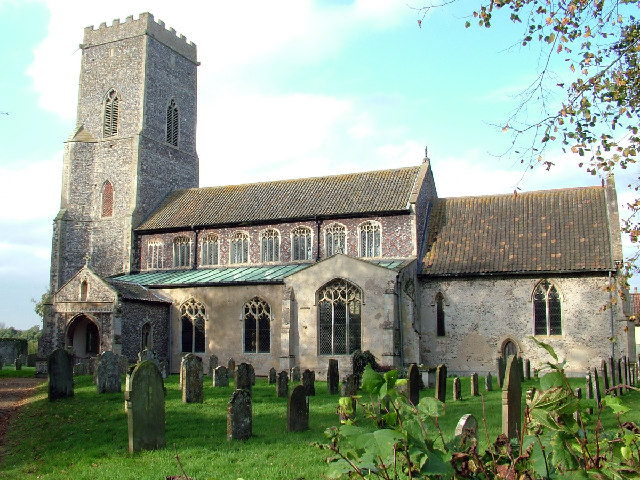
St Faith's Church, Little Witchingham
St Faith's Church is a redundant Anglican church in the village of Little Witchingham in Norfolk, England. It is recorded in the National Heritage List...

Alderford Common
Alderford Common is a 17.5-hectare (43-acre) biological Site of Special Scientific Interest north-west of Norwich in Norfolk.The common has a thin layer...
Nearby Amenities
Located within 500m of 52.720484,1.113986Have you been to Lenwade?
Leave your review of Lenwade below (or comments, questions and feedback).