Beeley Clough

Valley in Derbyshire High Peak

England

Beeley Clough

Silver Service to Sheffield The X57 service run by Hulley's of Baslow operates a service from Sheffield to Manchester Airport via the Snake Pass, Glossop, Hyde, Manchester (Chorlton Street) and Fallowfield.

Update: Notice on FB from the operator "After what will be 441 days, the Snake X57 will be withdrawn after operation on Saturday 8 January 2022."
Silver Service to Sheffield Credit: Gerald England

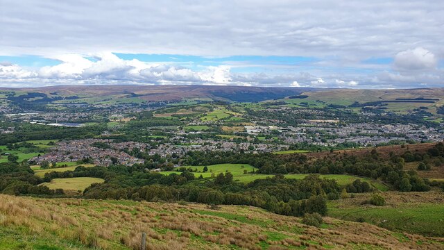
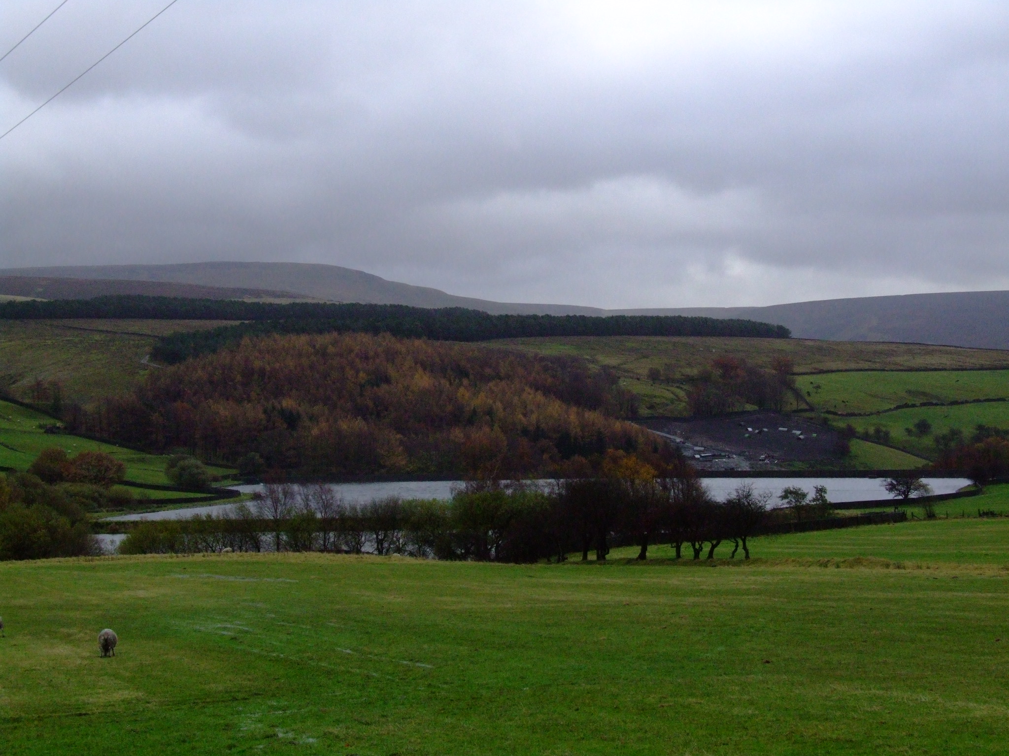
Beeley Clough is a picturesque valley located in the county of Derbyshire, England. Situated in the Peak District National Park, it offers a stunning natural landscape that attracts visitors from near and far. The clough is nestled between the charming villages of Beeley and Rowsley, providing easy access to the valley for both locals and tourists.

The valley is characterized by its rolling hills, lush green meadows, and meandering streams. It is famous for its dense woodland, which is home to a variety of flora and fauna. Visitors can witness a rich diversity of plant life, including ancient oak trees, wildflowers, and ferns. The area is also known for its vibrant bird population, with species such as buzzards, woodpeckers, and owls commonly spotted.

The tranquil atmosphere of Beeley Clough makes it an ideal destination for nature lovers and hikers. There are numerous walking trails that wind through the valley, offering breathtaking views of the surrounding countryside. One popular route is the Beeley Circular Walk, which takes visitors on a scenic journey through the clough and its surrounding villages.

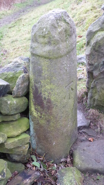
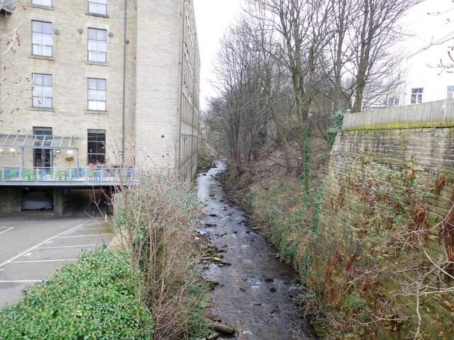
In addition to its natural beauty, Beeley Clough is also of historical significance. It was once home to several mills that played a vital role in the region's industrial past. Today, remnants of these mills can still be seen, adding a touch of history to the landscape.

Overall, Beeley Clough is a charming valley that showcases the natural splendor of Derbyshire. Its idyllic setting, diverse wildlife, and rich history make it a must-visit destination for anyone exploring the Peak District National Park.

If you have any feedback on the listing, please let us know in the comments section below.

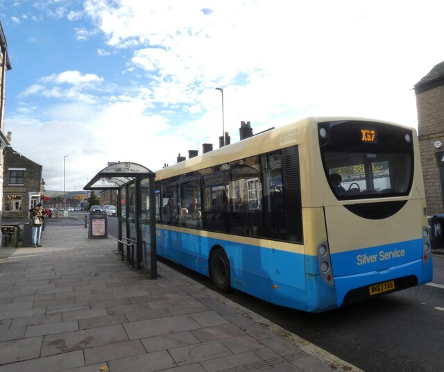
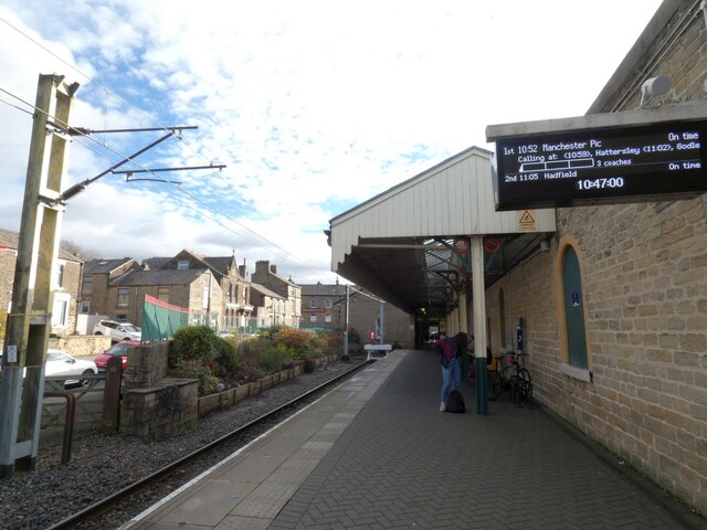
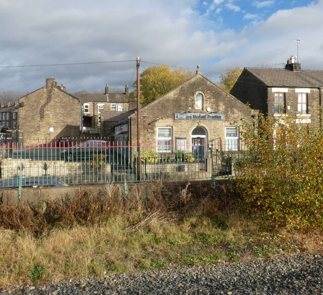
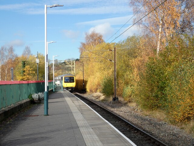
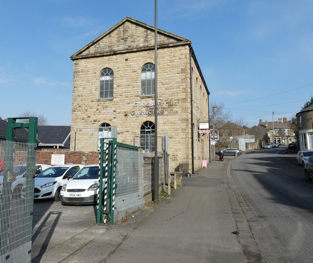
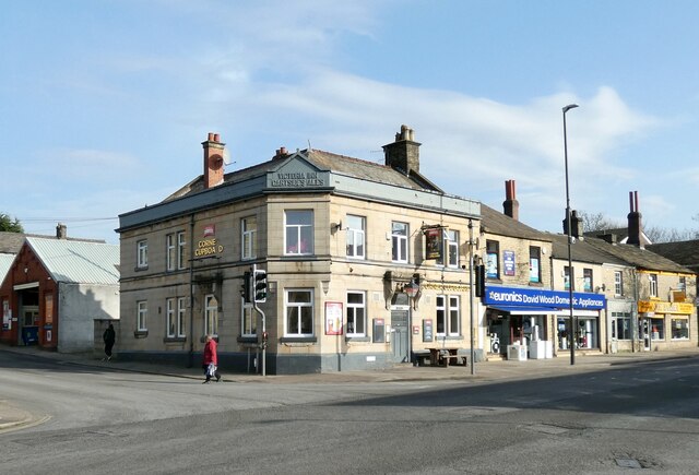
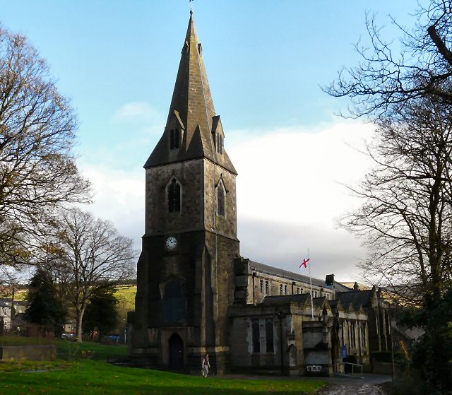
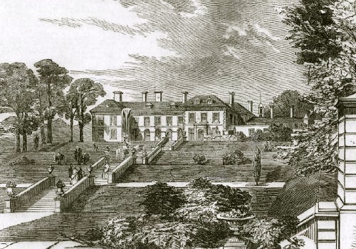
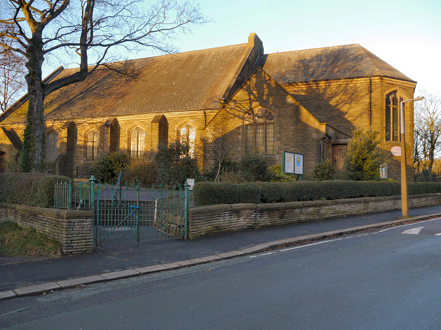
Beeley Clough Images

Images are sourced within 2km of 53.453822/-1.9422109 or Grid Reference SK0395. Thanks to Geograph Open Source API. All images are credited.

Silver Service to Sheffield The X57 service run by Hulley's of Baslow operates a service from Sheffield to Manchester Airport via the Snake Pass, Glossop, Hyde, Manchester (Chorlton Street) and Fallowfield.

Update: Notice on FB from the operator "After what will be 441 days, the Snake X57 will be withdrawn after operation on Saturday 8 January 2022."
Silver Service to Sheffield
The X57 service run by Hulley's of Baslow operates a service from Sheffield to Manchester Airport via the Snake Pass, Glossop, Hyde, Manchester (Chorlton Street) and Fallowfield. Update: Notice on FB from the operator "After what will be 441 days, the Snake X57 will be withdrawn after operation on Saturday 8 January 2022."
Glossop Station Glossop Railway Station was opened in 1845 by the Sheffield, Ashton-Under-Lyne & Manchester Railway. The station and the branch line from Dinting were built privately by the Duke of Norfolk; ownership later transferred to the London and North Eastern Railway. In 2005, Glossop Environmental Trust undertook enhancement work to the station building and garden, with stone copings, railings and planting.
Glossop Station
Glossop Railway Station was opened in 1845 by the Sheffield, Ashton-Under-Lyne & Manchester Railway. The station and the branch line from Dinting were built privately by the Duke of Norfolk; ownership later transferred to the London and North Eastern Railway. In 2005, Glossop Environmental Trust undertook enhancement work to the station building and garden, with stone copings, railings and planting.
Howard Medical Centre Originally the Wesleyan Reform Chapel Sunday School. The Chapel itself was demolished in 1965.
Howard Medical Centre
Originally the Wesleyan Reform Chapel Sunday School. The Chapel itself was demolished in 1965.
Train at Glossop The train is a Northern service arriving from Hadfield. Having picked up passengers in Glossop it will then proceed to Manchester Piccadilly.
Train at Glossop
The train is a Northern service arriving from Hadfield. Having picked up passengers in Glossop it will then proceed to Manchester Piccadilly.
St Mary's Church, Glossop Having done a bit of online fact-finding about this place, I wish I had been nosier and given the door a little push, as the interior is very impressive indeed. On large-scale internet maps it goes by the name of 'St Mary's Roman Catholic Church'. Elsewhere, however, it is most often referred to as 'Church of St Mary Crowned', or something very similar. The 'Crowned' bit seems to be a reference to the pope once being the guy who authorized the coronations of the kings who took charge in states within his rough control. Since this church was built in the 1880s in what is described as a 'Gothic Revival' style by Historic England, I presume this official title is merely a nod to the former influence of the Catholic Church.
This entrance is off Sumner Street, named after the Glossop cotton-milling family that provided the money to build not only this church, but also  a school 30-odd years before which backs onto its grounds. They must have been swimming in money, as the church is notable for being very grand for its times and far taller than most of its generation. I did have a nose at the school, but didn't take a picture, which must mean that the original building has since been replaced by what is now a common or garden one.
Of course, if I was wandering around Glossop in  2122, and the present school was still standing, it would then have warranted a picture with my historically-biased mindset; on reflection this is a reason for taking more pictures of things that look boring today.
St Mary's Church, Glossop
Having done a bit of online fact-finding about this place, I wish I had been nosier and given the door a little push, as the interior is very impressive indeed. On large-scale internet maps it goes by the name of 'St Mary's Roman Catholic Church'. Elsewhere, however, it is most often referred to as 'Church of St Mary Crowned', or something very similar. The 'Crowned' bit seems to be a reference to the pope once being the guy who authorized the coronations of the kings who took charge in states within his rough control. Since this church was built in the 1880s in what is described as a 'Gothic Revival' style by Historic England, I presume this official title is merely a nod to the former influence of the Catholic Church. This entrance is off Sumner Street, named after the Glossop cotton-milling family that provided the money to build not only this church, but also a school 30-odd years before which backs onto its grounds. They must have been swimming in money, as the church is notable for being very grand for its times and far taller than most of its generation. I did have a nose at the school, but didn't take a picture, which must mean that the original building has since been replaced by what is now a common or garden one. Of course, if I was wandering around Glossop in 2122, and the present school was still standing, it would then have warranted a picture with my historically-biased mindset; on reflection this is a reason for taking more pictures of things that look boring today.
Glossop Glossop seen from Monks' Road.
Glossop
Glossop seen from Monks' Road.
Colin Hugh's Barn Colin Hugh's Barn on the north side of Shepley Street as it appeared in 1994.
It appears to be at Tanyard Farm and might now be part of holiday accommodation there. Notes made at the time the image was made say that it is on the Peak District National Park Boundary.
Colin Hugh's Barn
Colin Hugh's Barn on the north side of Shepley Street as it appeared in 1994. It appears to be at Tanyard Farm and might now be part of holiday accommodation there. Notes made at the time the image was made say that it is on the Peak District National Park Boundary.
Edinburgh Woollen Mill, Glossop Now closed.
Edinburgh Woollen Mill, Glossop
Now closed.
M&S Foodhall, Glossop
Old Wayside Cross on Carr House Lane, Glossop Carr House Lane Cross, a cross incised in a carved stone beside the footpath called Carr House Lane from Cliffe Road in Glossop to Derbyshire Level. Read N. T Sharpe (2002), Crosses of the Peak District and <span class="nowrap"><a title="https://glossopcuriosities.wordpress.com/2017/12/01/carr-house-lane-stone/" rel="nofollow ugc noopener" href="https://glossopcuriosities.wordpress.com/2017/12/01/carr-house-lane-stone/">Link</a><img style="margin-left:2px;" alt="External link" title="External link - shift click to open in new window" src="https://s1.geograph.org.uk/img/external.png" width="10" height="10"/></span>.

Milestone Society National ID: DEHP_GLO04
Old Wayside Cross on Carr House Lane, Glossop
Carr House Lane Cross, a cross incised in a carved stone beside the footpath called Carr House Lane from Cliffe Road in Glossop to Derbyshire Level. Read N. T Sharpe (2002), Crosses of the Peak District and LinkExternal link. Milestone Society National ID: DEHP_GLO04
Old Wayside Cross in Glossop Whitfield Cross, the shaft of an old wayside cross now part of a stile on the footpath from High Street East in Glossop to Cliffe Road. Read N. T Sharpe (2002), Crosses of the Peak District and <span class="nowrap"><a title="https://glossopcuriosities.wordpress.com/2017/09/07/whitfield-cross/" rel="nofollow ugc noopener" href="https://glossopcuriosities.wordpress.com/2017/09/07/whitfield-cross/">Link</a><img style="margin-left:2px;" alt="External link" title="External link - shift click to open in new window" src="https://s1.geograph.org.uk/img/external.png" width="10" height="10"/></span>.

Milestone Society National ID: DEHP_GLO05
Old Wayside Cross in Glossop
Whitfield Cross, the shaft of an old wayside cross now part of a stile on the footpath from High Street East in Glossop to Cliffe Road. Read N. T Sharpe (2002), Crosses of the Peak District and LinkExternal link. Milestone Society National ID: DEHP_GLO05
Glossop Brook Upstream from Victoria Street.
Glossop Brook
Upstream from Victoria Street.
Hadfield Station The end of the working line at Hadfield.
Hadfield Station
The end of the working line at Hadfield.
Hadfield Station The Northern service to Glossop and Manchester Piccadilly is almost ready to depart.
Hadfield Station
The Northern service to Glossop and Manchester Piccadilly is almost ready to depart.
Glossop Gas Works 
The Grade II listed <span class="nowrap"><a title="https://historicengland.org.uk/listing/the-list/list-entry/1384222?section=official-list-entry" rel="nofollow ugc noopener" href="https://historicengland.org.uk/listing/the-list/list-entry/1384222?section=official-list-entry">Link</a><img style="margin-left:2px;" alt="External link" title="External link - shift click to open in new window" src="https://s1.geograph.org.uk/img/external.png" width="10" height="10"/></span> Gas Works on Arundel Street dates from 1845.

In recent year it has been repurposed as a Business Hub <span class="nowrap"><a title="https://www.glossopgasworks.co.uk/" rel="nofollow ugc noopener" href="https://www.glossopgasworks.co.uk/">Link</a><img style="margin-left:2px;" alt="External link" title="External link - shift click to open in new window" src="https://s1.geograph.org.uk/img/external.png" width="10" height="10"/></span>

For a detailed historical account see the Glossop Heritage site: <span class="nowrap"><a title="https://glossopheritage.co.uk/ghtarchive/gasco/" rel="nofollow ugc noopener" href="https://glossopheritage.co.uk/ghtarchive/gasco/">Link</a><img style="margin-left:2px;" alt="External link" title="External link - shift click to open in new window" src="https://s1.geograph.org.uk/img/external.png" width="10" height="10"/></span>
Glossop Gas Works
The Grade II listed LinkExternal link Gas Works on Arundel Street dates from 1845. In recent year it has been repurposed as a Business Hub LinkExternal link For a detailed historical account see the Glossop Heritage site: LinkExternal link
Corner Cupboard A Thwaites pub on the corner of Arundel Street and High Street West. Originally it was the Victoria Inn owned by Gartsides Ales <a href="https://www.geograph.org.uk/photo/7427287">SK0394 : Victoria Inn Gartsides Ales</a>.
Corner Cupboard
A Thwaites pub on the corner of Arundel Street and High Street West. Originally it was the Victoria Inn owned by Gartsides Ales SK0394 : Victoria Inn Gartsides Ales.
Sign of the Corner Cupboard Sign for the Corner Cupboard <a href="https://www.geograph.org.uk/photo/7426848">SK0394 : Corner Cupboard</a>.
Sign of the Corner Cupboard
Sign for the Corner Cupboard SK0394 : Corner Cupboard.
Victoria Inn Gartsides Ales 
Detail in what is now the Corner Cupboad <a href="https://www.geograph.org.uk/photo/7426848">SK0394 : Corner Cupboard</a>.
Victoria Inn Gartsides Ales
Detail in what is now the Corner Cupboad SK0394 : Corner Cupboard.
Show me another place!

Beeley Clough is located at Grid Ref: SK0395 (Lat: 53.453822, Lng: -1.9422109)

Administrative County: Derbyshire

District: High Peak

Police Authority: Derbyshire

What 3 Words

///firewall.presented.damage. Near Glossop, Derbyshire

Related Wikis

Nearby Amenities

Located within 500m of 53.453822,-1.9422109
Old Glossop
Is In: Glossop, Derbyhire, UK
Place: suburb
Wikidata: Q921240
Wikipedia: en:Old Glossop
Lat/Long: 53.4504344/-1.9381796
Pub
The Wheatsheaf
Addr Postcode: SK13 7RS
Addr Street: Wellgate
Check Date: 2024-02-08
Cuisine: local
Fhrs Id: 1258844
Internet Access: wlan
Source Addr: FHRS Open Data
Lat/Long: 53.4508224/-1.9386759
Pub
The Bull's Head
Addr Housenumber: 102
Addr Postcode: SK13 7RN
Addr Street: Church Street
Check Date: 2024-02-08
Fhrs Id: 1258856
Source Addr: FHRS Open Data
Wikidata: Q26664050
Lat/Long: 53.4506922/-1.9391064
Wimberry Hill Garden Centre
Addr City: Glossop
Addr Postcode: SK13 7QE
Addr Street: Cemetery Road
Shop: garden_centre
Source: Bing, Local Knowledge
Website: http://www.thegardencentreatwimberryhill.co.uk/
Lat/Long: 53.4545125/-1.9471383
Bench
Backrest: yes
Lat/Long: 53.4507254/-1.9387054
Cafe
The Coffee Shop at Wimberry Hill
Addr City: Glossop
Addr Postcode: SK13 7QE
Addr Street: Cemetery Road
Cuisine: coffee_shop
Fhrs Id: 1258632
Phone: +44 1457 865316
Lat/Long: 53.4546168/-1.9471534
Generator Method: photovoltaic
Generator Output Electricity: yes
Generator Source: solar
Generator Type: solar_photovoltaic_panel
Location: roof
Power: generator
Lat/Long: 53.4511734/-1.94735
Generator Method: photovoltaic
Generator Output Electricity: yes
Generator Source: solar
Generator Type: solar_photovoltaic_panel
Location: roof
Power: generator
Lat/Long: 53.4513635/-1.9476934
Direction: 215
Generator Method: photovoltaic
Generator Output Electricity: yes
Generator Solar Modules: 16
Generator Source: solar
Generator Type: solar_photovoltaic_panel
Location: roof
Power: generator
Lat/Long: 53.4523099/-1.9492946
Direction: 215
Generator Method: photovoltaic
Generator Output Electricity: yes
Generator Solar Modules: 12
Generator Source: solar
Generator Type: solar_photovoltaic_panel
Location: roof
Power: generator
Lat/Long: 53.4522923/-1.9490666
Direction: 215
Generator Method: photovoltaic
Generator Output Electricity: yes
Generator Solar Modules: 10
Generator Source: solar
Generator Type: solar_photovoltaic_panel
Location: roof
Power: generator
Lat/Long: 53.4522803/-1.9488521
Direction: 215
Generator Method: photovoltaic
Generator Output Electricity: yes
Generator Solar Modules: 16
Generator Source: solar
Generator Type: solar_photovoltaic_panel
Location: roof
Power: generator
Lat/Long: 53.452258/-1.9486751
Direction: 185
Generator Method: photovoltaic
Generator Output Electricity: yes
Generator Solar Modules: 16
Generator Source: solar
Generator Type: solar_photovoltaic_panel
Location: roof
Power: generator
Lat/Long: 53.4525906/-1.9485939
Direction: 185
Generator Method: photovoltaic
Generator Output Electricity: yes
Generator Solar Modules: 20
Generator Source: solar
Generator Type: solar_photovoltaic_panel
Location: roof
Power: generator
Lat/Long: 53.4526669/-1.9493456
Direction: 185
Generator Method: photovoltaic
Generator Output Electricity: yes
Generator Solar Modules: 16
Generator Source: solar
Generator Type: solar_photovoltaic_panel
Location: roof
Power: generator
Lat/Long: 53.4525678/-1.9480099
Generator Method: photovoltaic
Generator Output Electricity: yes
Generator Source: solar
Generator Type: solar_photovoltaic_panel
Location: roof
Power: generator
Lat/Long: 53.451158/-1.9388099
Generator Method: photovoltaic
Generator Output Electricity: yes
Generator Source: solar
Generator Type: solar_photovoltaic_panel
Location: roof
Power: generator
Lat/Long: 53.4518076/-1.940784
Generator Method: photovoltaic
Generator Output Electricity: yes
Generator Source: solar
Generator Type: solar_photovoltaic_panel
Location: roof
Power: generator
Lat/Long: 53.4518179/-1.9406995
Generator Method: photovoltaic
Generator Output Electricity: yes
Generator Source: solar
Generator Type: solar_photovoltaic_panel
Location: roof
Power: generator
Lat/Long: 53.4520789/-1.9397621
Waste Basket
Colour: black
Waste: mixed
Lat/Long: 53.4507423/-1.9387299
Direction: 215
Generator Method: photovoltaic
Generator Output Electricity: yes
Generator Solar Modules: 4
Generator Source: solar
Generator Type: solar_photovoltaic_panel
Location: roof
Power: generator
Lat/Long: 53.4523185/-1.9491326
Direction: 125
Generator Method: photovoltaic
Generator Output Electricity: yes
Generator Solar Modules: 4
Generator Source: solar
Generator Type: solar_photovoltaic_panel
Location: roof
Power: generator
Lat/Long: 53.4522662/-1.94892
Crossing: informal
Lat/Long: 53.4507301/-1.9388021
Barrier: fence
Fence Type: barbed_wire
Lat/Long: 53.4540823/-1.9410821
Old Cross
Man Made: cross
Material: stone
Lat/Long: 53.4500831/-1.9381487
The data included in this document is from www.openstreetmap.org. The data is made available under ODbL.

Have you been to Beeley Clough?

Leave your review of Beeley Clough below (or comments, questions and feedback).