Airedale
Valley in Yorkshire
England
Airedale
Airedale is a picturesque valley located in the county of Yorkshire, England. Situated in the heart of the Pennines, it stretches approximately 25 miles from the town of Keighley in the east to the city of Bradford in the west. The valley is named after the River Aire, which flows through its scenic landscape.
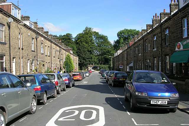
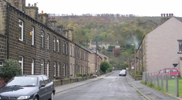
Airedale is renowned for its stunning natural beauty, with rolling hills, lush green countryside, and charming villages dotting the landscape. The area is a haven for outdoor enthusiasts, offering a plethora of recreational activities such as hiking, cycling, and fishing. The rugged terrain and diverse wildlife make Airedale an ideal destination for nature lovers and wildlife enthusiasts.
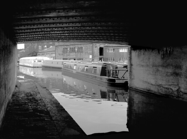
The valley is also home to several notable landmarks and attractions. Saltaire, a UNESCO World Heritage Site, is a well-preserved Victorian model village built by Sir Titus Salt in the 19th century. It features stunning architecture, including the impressive Salts Mill, which now houses art galleries, shops, and cafes. Additionally, the famous Bingley Five Rise Locks on the Leeds and Liverpool Canal are a popular tourist spot, showcasing impressive engineering and offering scenic boat trips.
Airedale has a rich industrial heritage, with its history deeply rooted in the textile industry. The valley was once a hub for woolen mills and textile manufacturing, playing a significant role in the industrial revolution. Today, remnants of this past can still be seen in the form of historic mills and warehouses that have been repurposed for modern use.
Overall, Airedale, Yorkshire is a captivating destination that seamlessly blends natural beauty, history, and outdoor adventure, making it an appealing choice for locals and visitors alike.
If you have any feedback on the listing, please let us know in the comments section below.
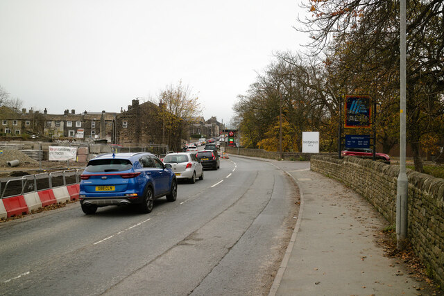
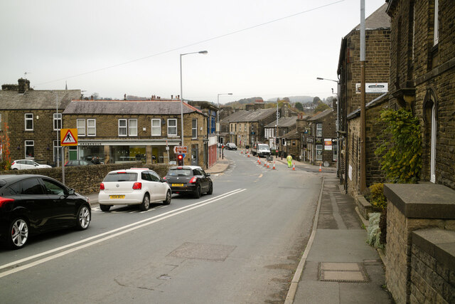
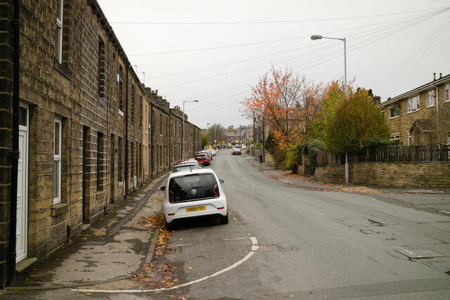
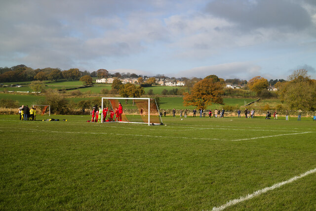
Airedale Images
Images are sourced within 2km of 53.899755/-1.9520857 or Grid Reference SE0344. Thanks to Geograph Open Source API. All images are credited.


Airedale is located at Grid Ref: SE0344 (Lat: 53.899755, Lng: -1.9520857)
Division: West Riding
Unitary Authority: Bradford
Police Authority: West Yorkshire
What 3 Words
///sounds.towns.upgrading. Near Steeton, West Yorkshire
Nearby Locations
Related Wikis

Steeton with Eastburn
Steeton with Eastburn is a civil parish within the City of Bradford Metropolitan District, West Yorkshire, England. Historically part of the West Riding...
Steeton, West Yorkshire
Steeton is a village in the City of Bradford metropolitan borough, West Yorkshire, England. Historically part of the West Riding of Yorkshire, it is situated...

Steeton and Silsden railway station
Steeton and Silsden railway station serves the village of Steeton and the town of Silsden in West Yorkshire, England. It is situated closer to Steeton...

Steeton A.F.C.
Steeton Association Football Club is an English football club based in Steeton, West Yorkshire. They are currently members of the North West Counties League...
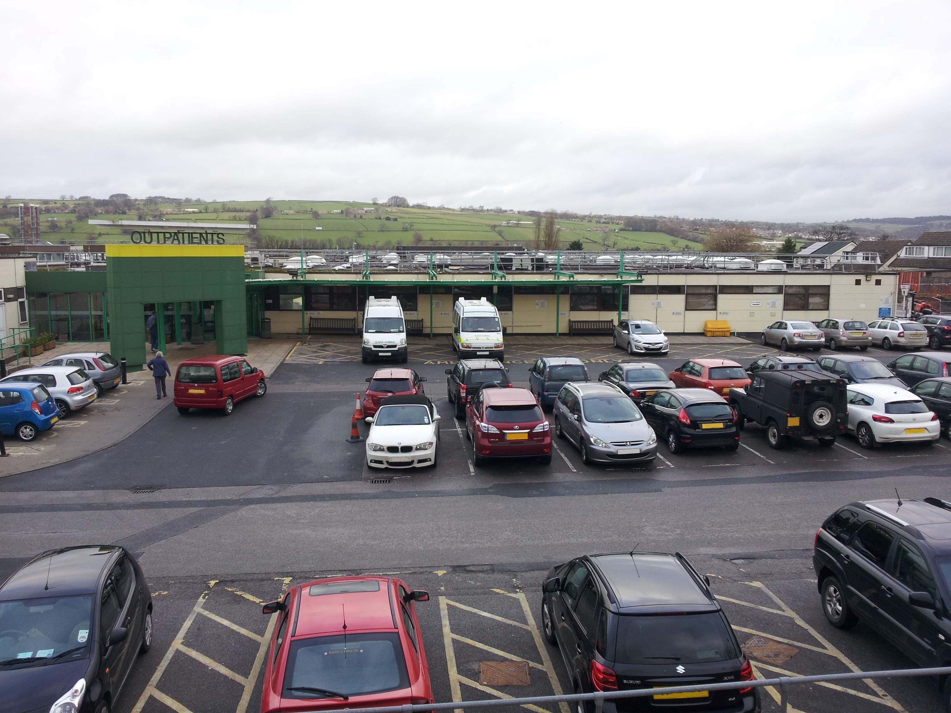
Airedale General Hospital
Airedale General Hospital is an NHS district General Hospital based in Steeton with Eastburn, West Yorkshire, England and is operated by the Airedale NHS...

Silsden A.F.C.
Silsden A.F.C. is a football club based in Silsden, West Yorkshire, England, and is currently a member of the Northern Counties East League Premier Division...
Eastburn, West Yorkshire
Eastburn is a village within the Steeton with Eastburn civil parish, in the City of Bradford Metropolitan District, West Yorkshire, England. The road...

Silsden Town Hall
Silsden Town Hall is a municipal building in Kirkgate, Silsden, West Yorkshire, England. The town hall is the meeting place of Silsden Town Council....
Nearby Amenities
Located within 500m of 53.899755,-1.9520857Have you been to Airedale?
Leave your review of Airedale below (or comments, questions and feedback).