Chapel Bottom

Valley in Yorkshire Richmondshire

England

Chapel Bottom

Benchmark on gatepost on west side of track Ordnance Survey cut mark benchmark described on the Bench Mark Database at <span class="nowrap"><a title="http://www.bench-marks.org.uk/bm24522" rel="nofollow ugc noopener" href="http://www.bench-marks.org.uk/bm24522">Link</a><img style="margin-left:2px;" alt="External link" title="External link - shift click to open in new window" src="https://s1.geograph.org.uk/img/external.png" width="10" height="10"/></span>
Benchmark on gatepost on west side of track Credit: Roger Templeman

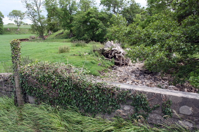
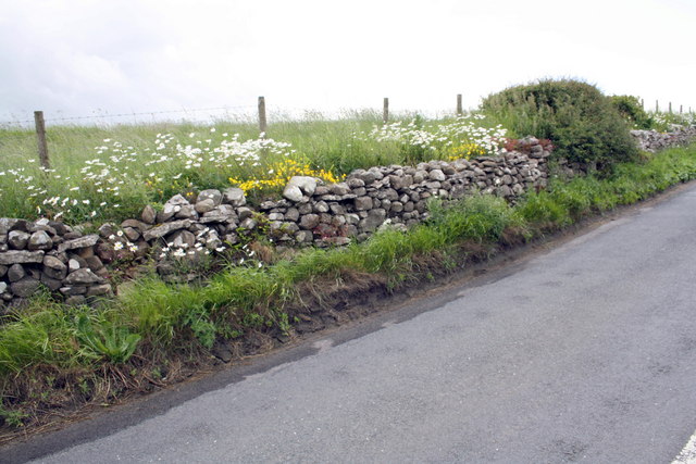
Chapel Bottom is a picturesque valley located in the county of Yorkshire, England. Nestled within the heart of the Yorkshire Dales National Park, it is renowned for its stunning natural beauty and rich cultural history. The valley stretches for approximately two miles, bordered by rolling hills and lush green meadows.

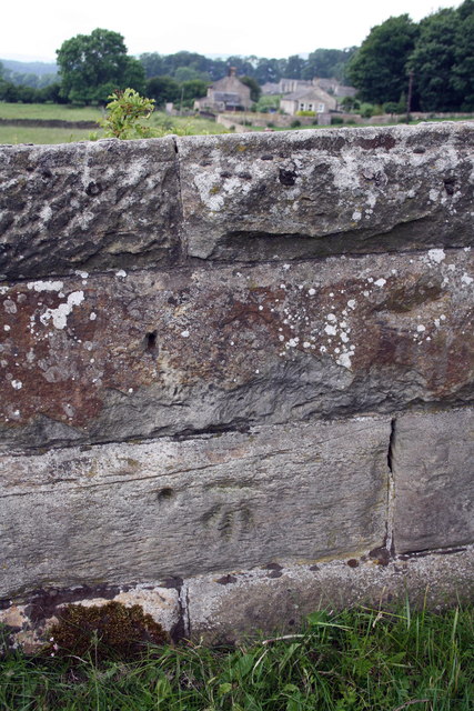
At the heart of Chapel Bottom lies a charming village, which shares the same name. The village is home to a close-knit community, known for their warm hospitality and deep-rooted traditions. The architecture of the village reflects its long history, with many buildings dating back to the 18th and 19th centuries.

The valley is intersected by a crystal-clear river, which meanders through its enchanting landscape. The river provides a habitat for a diverse range of wildlife, including otters, kingfishers, and brown trout. Visitors can enjoy peaceful walks along the riverbank, taking in the tranquility of the surroundings.

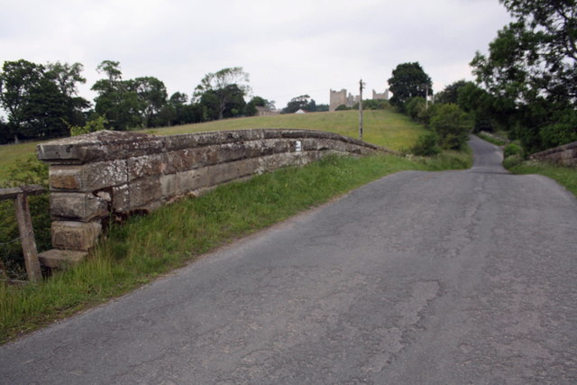
Chapel Bottom is also a popular destination for outdoor enthusiasts, offering a range of activities such as hiking, cycling, and birdwatching. Several well-marked trails crisscross the valley, providing breathtaking views of the surrounding countryside.

For those seeking a cultural experience, Chapel Bottom boasts a historic chapel that dates back to the 12th century. The chapel is a testament to the region's religious heritage and serves as a focal point for the community.

Overall, Chapel Bottom, Yorkshire is a hidden gem that offers a perfect blend of natural beauty, historical charm, and a warm community spirit.

If you have any feedback on the listing, please let us know in the comments section below.

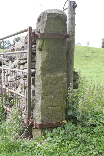
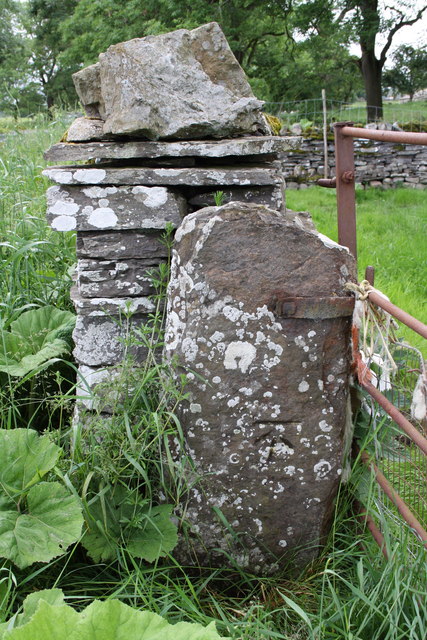
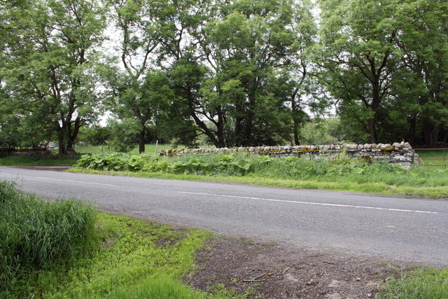
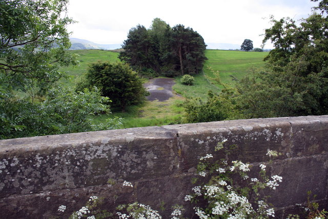
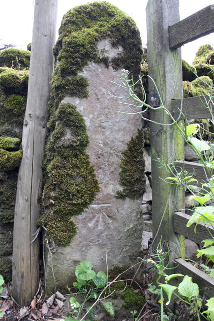
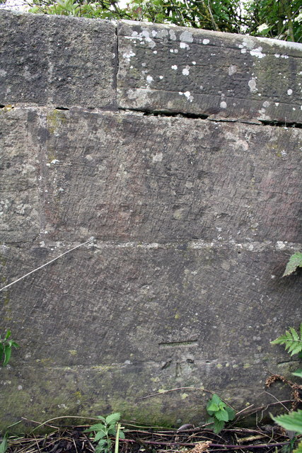
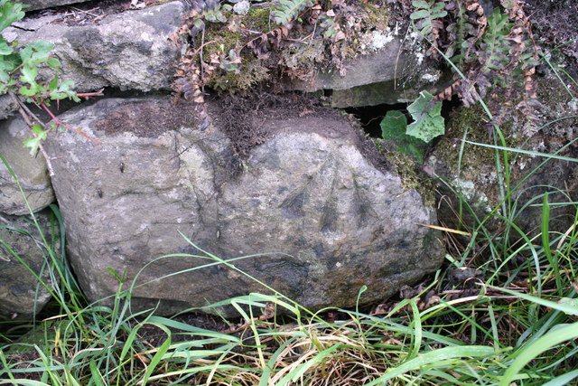
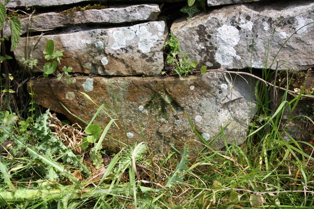
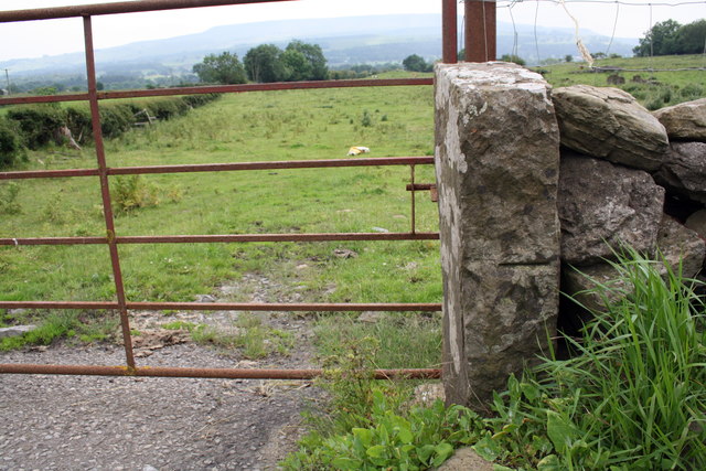
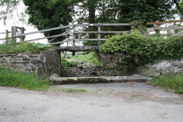
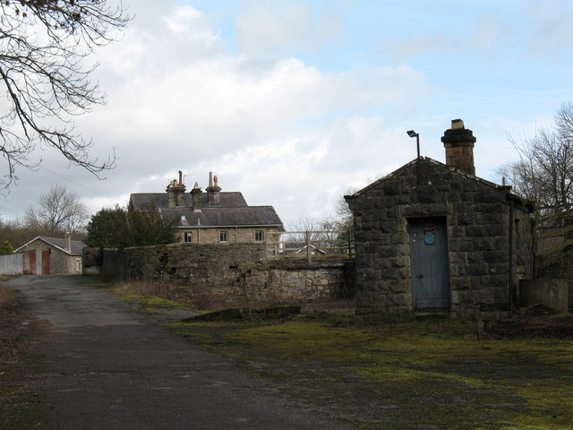
Chapel Bottom Images

Images are sourced within 2km of 54.302737/-1.9546795 or Grid Reference SE0389. Thanks to Geograph Open Source API. All images are credited.

Benchmark on gatepost on west side of track Ordnance Survey cut mark benchmark described on the Bench Mark Database at <span class="nowrap"><a title="http://www.bench-marks.org.uk/bm24522" rel="nofollow ugc noopener" href="http://www.bench-marks.org.uk/bm24522">Link</a><img style="margin-left:2px;" alt="External link" title="External link - shift click to open in new window" src="https://s1.geograph.org.uk/img/external.png" width="10" height="10"/></span>
Benchmark on gatepost on west side of track
Ordnance Survey cut mark benchmark described on the Bench Mark Database at LinkExternal link
Gatepost with benchmark beside road to Redmire The Ordnance Survey cut mark benchmark is described on the Bench Mark Database at <span class="nowrap"><a title="http://www.bench-marks.org.uk/bm38359" rel="nofollow ugc noopener" href="http://www.bench-marks.org.uk/bm38359">Link</a><img style="margin-left:2px;" alt="External link" title="External link - shift click to open in new window" src="https://s1.geograph.org.uk/img/external.png" width="10" height="10"/></span>
Gatepost with benchmark beside road to Redmire
The Ordnance Survey cut mark benchmark is described on the Bench Mark Database at LinkExternal link
Gateway and minor road junction on road to Redmire The gatepost on LHS of the gateway on RHS of photo has an OS benchmark <a href="https://www.geograph.org.uk/photo/2515931">SE0190 : Gatepost with benchmark beside road to Redmire</a>
Gateway and minor road junction on road to Redmire
The gatepost on LHS of the gateway on RHS of photo has an OS benchmark SE0190 : Gatepost with benchmark beside road to Redmire
View over bridge parapet of dismantled railway trackbed The bridge carries Brunton Bank over a disused and lifted section of the Wensleydale railway.
View over bridge parapet of dismantled railway trackbed
The bridge carries Brunton Bank over a disused and lifted section of the Wensleydale railway.
Wheeling Bridge and a dry Beldon Beck Under the mass of ivy at the left end of the parapet is an OS benchmark <a href="https://www.geograph.org.uk/photo/2516312">SE0390 : Benchmark on top of Wheeling Bridge parapet</a>
Wheeling Bridge and a dry Beldon Beck
Under the mass of ivy at the left end of the parapet is an OS benchmark SE0390 : Benchmark on top of Wheeling Bridge parapet
Benchmark on gatepost of East End Farm Ordnance Survey cut mark benchmark described on the Bench Mark Database at <span class="nowrap"><a title="http://www.bench-marks.org.uk/bm38356" rel="nofollow ugc noopener" href="http://www.bench-marks.org.uk/bm38356">Link</a><img style="margin-left:2px;" alt="External link" title="External link - shift click to open in new window" src="https://s1.geograph.org.uk/img/external.png" width="10" height="10"/></span>
Benchmark on gatepost of East End Farm
Ordnance Survey cut mark benchmark described on the Bench Mark Database at LinkExternal link
Benchmark on parapet of Brunton Bank railway bridge Ordnance Survey cut mark benchmark described on the Bench Mark Database at <span class="nowrap"><a title="http://www.bench-marks.org.uk/bm38360" rel="nofollow ugc noopener" href="http://www.bench-marks.org.uk/bm38360">Link</a><img style="margin-left:2px;" alt="External link" title="External link - shift click to open in new window" src="https://s1.geograph.org.uk/img/external.png" width="10" height="10"/></span>
Benchmark on parapet of Brunton Bank railway bridge
Ordnance Survey cut mark benchmark described on the Bench Mark Database at LinkExternal link
Benchmark on stone at side of Brunton Bank Ordnance Survey pivot benchmark described on the Bench Mark Database at <span class="nowrap"><a title="http://www.bench-marks.org.uk/bm38346" rel="nofollow ugc noopener" href="http://www.bench-marks.org.uk/bm38346">Link</a><img style="margin-left:2px;" alt="External link" title="External link - shift click to open in new window" src="https://s1.geograph.org.uk/img/external.png" width="10" height="10"/></span>
Benchmark on stone at side of Brunton Bank
Ordnance Survey pivot benchmark described on the Bench Mark Database at LinkExternal link
Flowers beside Brunton Bank One of the stones in the wall has an OS benchmark <a href="https://www.geograph.org.uk/photo/2516287">SE0290 : Benchmark on stone at side of Brunton Bank</a>
Flowers beside Brunton Bank
One of the stones in the wall has an OS benchmark SE0290 : Benchmark on stone at side of Brunton Bank
Benchmark on top of Wheeling Bridge parapet Ordnance Survey rivet benchmark described on the Bench Mark Database at <span class="nowrap"><a title="http://www.bench-marks.org.uk/bm38361" rel="nofollow ugc noopener" href="http://www.bench-marks.org.uk/bm38361">Link</a><img style="margin-left:2px;" alt="External link" title="External link - shift click to open in new window" src="https://s1.geograph.org.uk/img/external.png" width="10" height="10"/></span>. There is a wider view of the bridge at <a href="https://www.geograph.org.uk/photo/2515940">SE0390 : Wheeling Bridge and a dry Beldon Beck</a>
Benchmark on top of Wheeling Bridge parapet
Ordnance Survey rivet benchmark described on the Bench Mark Database at LinkExternal link. There is a wider view of the bridge at SE0390 : Wheeling Bridge and a dry Beldon Beck
Benchmark on Scallow Bank Lane railway bridge Ordnance Survey cut mark benchmark described on the Bench Mark Database at <span class="nowrap"><a title="http://www.bench-marks.org.uk/bm38726" rel="nofollow ugc noopener" href="http://www.bench-marks.org.uk/bm38726">Link</a><img style="margin-left:2px;" alt="External link" title="External link - shift click to open in new window" src="https://s1.geograph.org.uk/img/external.png" width="10" height="10"/></span>
Benchmark on Scallow Bank Lane railway bridge
Ordnance Survey cut mark benchmark described on the Bench Mark Database at LinkExternal link
View up Scallow Bank Lane from railway bridge Bolton Castle can be seen on the horizon
View up Scallow Bank Lane from railway bridge
Bolton Castle can be seen on the horizon
Benchmark on stone in wall of Scallow Bank Lane Ordnance Survey pivot benchmark described on the Bench Mark Database at <span class="nowrap"><a title="http://www.bench-marks.org.uk/bm38728" rel="nofollow ugc noopener" href="http://www.bench-marks.org.uk/bm38728">Link</a><img style="margin-left:2px;" alt="External link" title="External link - shift click to open in new window" src="https://s1.geograph.org.uk/img/external.png" width="10" height="10"/></span>
Benchmark on stone in wall of Scallow Bank Lane
Ordnance Survey pivot benchmark described on the Bench Mark Database at LinkExternal link
Benchmark on gatepost on south side of Brunton Bank Ordnance Survey cut mark benchmark described on the Bench Mark Database at <span class="nowrap"><a title="http://www.bench-marks.org.uk/bm38765" rel="nofollow ugc noopener" href="http://www.bench-marks.org.uk/bm38765">Link</a><img style="margin-left:2px;" alt="External link" title="External link - shift click to open in new window" src="https://s1.geograph.org.uk/img/external.png" width="10" height="10"/></span>
Benchmark on gatepost on south side of Brunton Bank
Ordnance Survey cut mark benchmark described on the Bench Mark Database at LinkExternal link
Footpath sign beside benchmarked gatepost The footpath sign indicates Redmire ¼ mile. The Ordnance Survey cut mark benchmark is described on the Bench Mark Database at <span class="nowrap"><a title="http://www.bench-marks.org.uk/bm38727" rel="nofollow ugc noopener" href="http://www.bench-marks.org.uk/bm38727">Link</a><img style="margin-left:2px;" alt="External link" title="External link - shift click to open in new window" src="https://s1.geograph.org.uk/img/external.png" width="10" height="10"/></span>
Footpath sign beside benchmarked gatepost
The footpath sign indicates Redmire ¼ mile. The Ordnance Survey cut mark benchmark is described on the Bench Mark Database at LinkExternal link
Wooden Bridge over stream at Low Thoresby
Barn conversion south of Mill Farm Mill Farm house up the track on the RHS of picture. There is an OS benchmark <a href="https://www.geograph.org.uk/photo/2598834">SE0490 : Benchmark on barn conversion south of Mill Farm</a> on a stone to the right of the right hand door
Barn conversion south of Mill Farm
Mill Farm house up the track on the RHS of picture. There is an OS benchmark SE0490 : Benchmark on barn conversion south of Mill Farm on a stone to the right of the right hand door
Road from Low Thoresby
Show me another place!

Chapel Bottom is located at Grid Ref: SE0389 (Lat: 54.302737, Lng: -1.9546795)

Division: North Riding

Administrative County: North Yorkshire

District: Richmondshire

Police Authority: North Yorkshire

What 3 Words

///indicated.foal.lasted. Near Leyburn, North Yorkshire

Related Wikis

Bishopdale Beck

Bishopdale Beck is a major tributary of the River Ure in North Yorkshire, England. The beck flows down Bishopdale, a side valley of Wensleydale in the...

Penhill Preceptory

Penhill Preceptory was a priory on the northern flanks of Penhill in Wensleydale, North Yorkshire, England, which functioned from about 1142 to 1308–12...

Swinithwaite

Swinithwaite is a hamlet in the Yorkshire Dales, North Yorkshire, England. It lies on the A684 road, 2 miles (3.2 km) miles east of Aysgarth.The hamlet...

Aysgarth railway station

Aysgarth railway station is a disused railway station in North Yorkshire, England, near Aysgarth Falls. It was part of the Hawes Branch of the North Eastern...

Aysgarth Falls

Aysgarth Falls are a triple flight of waterfalls, surrounded by woodland and farmland, carved out by the River Ure over an almost one-mile (two-kilometre...

Redmire

Redmire is a village and civil parish in North Yorkshire, England. It is about 4 miles (6.4 km) west of Leyburn in Wensleydale in the Yorkshire Dales....

St Oswald's Church, Castle Bolton

St Oswald's Church, Castle Bolton is a Grade II* listed parish church in the Church of England: 106  located in Castle Bolton, North Yorkshire. == History... ==

Bolton Castle

Bolton Castle is a 14th-century castle located in Wensleydale, Yorkshire, England (grid reference SE03379183). The nearby village of Castle Bolton takes...

Nearby Amenities

Located within 500m of 54.302737,-1.9546795
Barrier: stile
Lat/Long: 54.3006933/-1.9561136
Barrier: stile
Lat/Long: 54.2997534/-1.9571968
Hunting Stand
Hunting Stand: grouse_butt
Lat/Long: 54.3061466/-1.9595401
Hunting Stand
Hunting Stand: grouse_butt
Lat/Long: 54.3059643/-1.9594784
Hunting Stand
Hunting Stand: grouse_butt
Lat/Long: 54.305753/-1.9594154
Barrier: entrance
Lat/Long: 54.3053408/-1.9563088
The data included in this document is from www.openstreetmap.org. The data is made available under ODbL.

Have you been to Chapel Bottom?

Leave your review of Chapel Bottom below (or comments, questions and feedback).