Vale of Evesham
Valley in Worcestershire Wychavon
England
Vale of Evesham
The Vale of Evesham is a picturesque valley located in Worcestershire, England. Nestled between the Cotswold Hills to the south and the Malvern Hills to the west, this fertile valley is renowned for its stunning natural beauty and agricultural significance.
Covering an area of approximately 100 square miles, the Vale of Evesham is characterized by its gently rolling hills, lush green fields, and winding rivers. The landscape is predominantly rural, with charming villages and hamlets scattered throughout the valley. The main town in the area is Evesham, which sits on the banks of the River Avon.
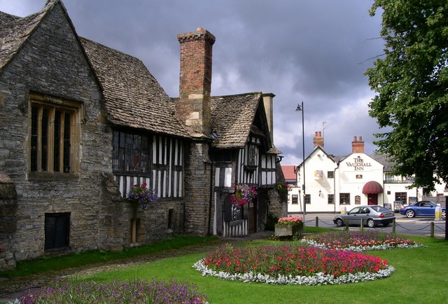
The valley has a long and rich history, with evidence of human habitation dating back to ancient times. The Romans settled in the area, and their influence can still be seen in the form of ruins and artifacts. The town of Evesham itself has a medieval heritage, with timber-framed buildings and a historic abbey that attracts visitors from far and wide.
The Vale of Evesham is renowned for its horticulture and agriculture. The mild climate and fertile soil make it an ideal location for growing a wide range of crops, including fruits, vegetables, and flowers. The area is particularly famous for its asparagus, cherries, and plums, which are celebrated during annual festivals.
In addition to its agricultural significance, the Vale of Evesham offers plenty of recreational opportunities for nature lovers. The valley is crisscrossed by footpaths and bridleways, allowing visitors to explore its idyllic countryside and enjoy breathtaking views. The nearby Cotswold and Malvern Hills also provide opportunities for hiking, biking, and other outdoor activities.
Overall, the Vale of Evesham is a truly enchanting destination, combining natural beauty, rich history, and agricultural abundance.
If you have any feedback on the listing, please let us know in the comments section below.
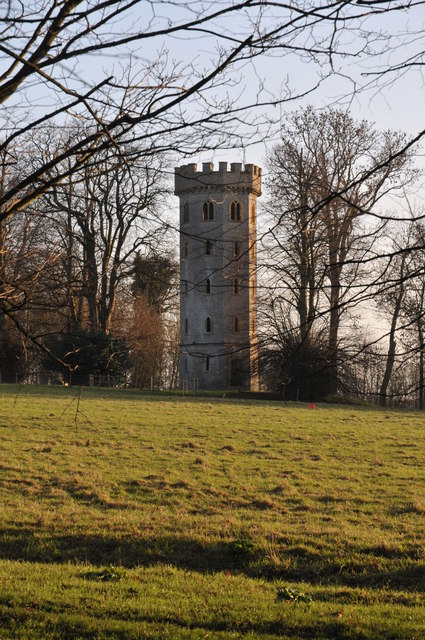
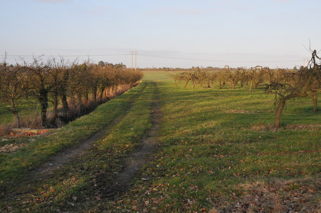
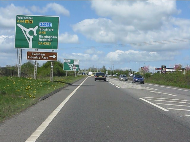
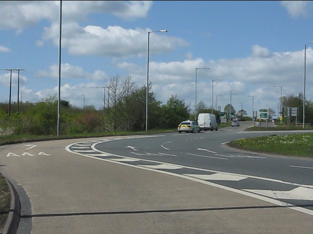
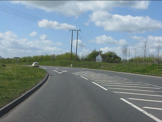
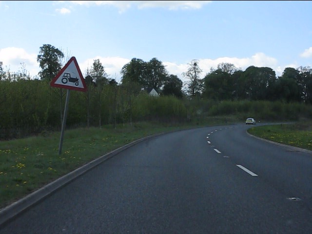
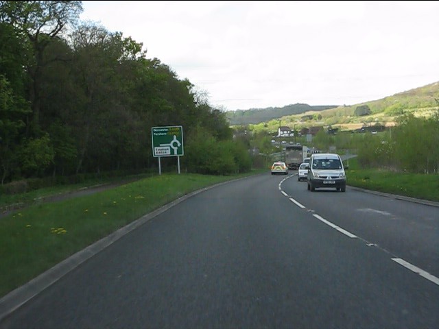
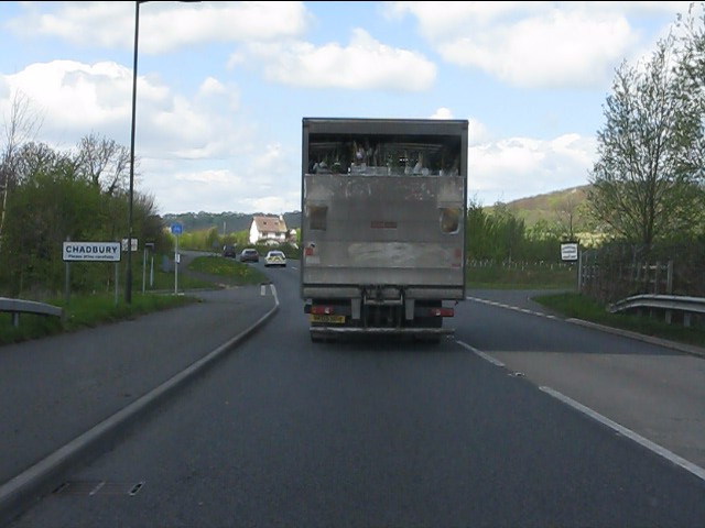
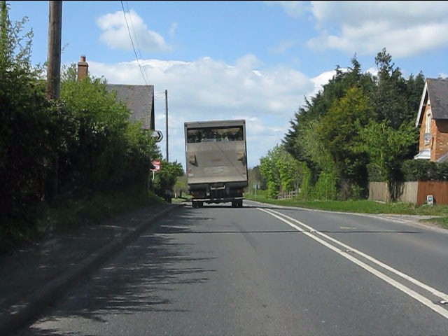
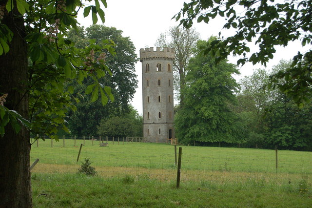
Vale of Evesham Images
Images are sourced within 2km of 52.103813/-1.9598776 or Grid Reference SP0245. Thanks to Geograph Open Source API. All images are credited.


Vale of Evesham is located at Grid Ref: SP0245 (Lat: 52.103813, Lng: -1.9598776)
Administrative County: Worcestershire
District: Wychavon
Police Authority: West Mercia
What 3 Words
///bongo.gladiator.weeds. Near Evesham, Worcestershire
Nearby Locations
Related Wikis

Evesham Cricket Club Ground
The Evesham Cricket Club Ground in Evesham, Worcestershire was used for first-class cricket by Worcestershire County Cricket Club on a single occasion...
Battle of Evesham
The Battle of Evesham (4 August 1265) was one of the two main battles of 13th century England's Second Barons' War. It marked the defeat of Simon de Montfort...
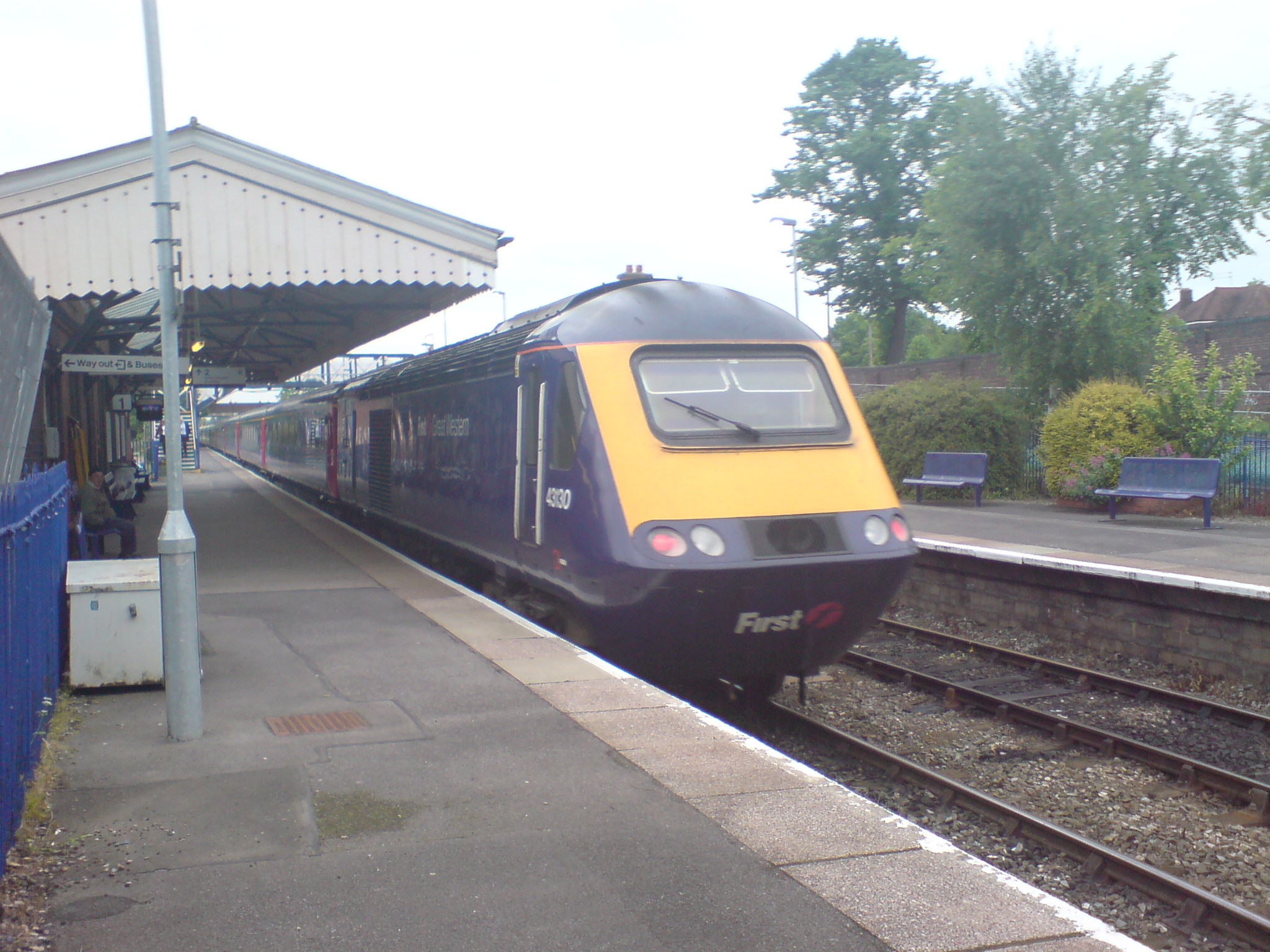
Evesham railway station
Evesham railway station is in the town of Evesham in Worcestershire, England. It is between Honeybourne and Pershore stations on the Cotswold Line between...

Greenhill, Evesham
Greenhill is a hill just north of Evesham, Worcestershire and was part of the site of the Battle of Evesham. In the battle, Simon de Montfort was defeated...
Prince Henry's High School
Prince Henry's High School, formerly Prince Henry's Grammar School is an upper school with academy status in Evesham, Worcestershire, England. It is a...

Hampton Ferry (River Avon)
The Hampton Ferry is a pedestrian cable ferry linking Evesham and the village of Hampton across the River Avon in the English county of Worcestershire...

Evesham Town Hall
Evesham Town Hall is a municipal structure in the Market Place in Evesham, Worcestershire, England. The town hall, which was the headquarters of Evesham...
Almonry Museum and Heritage Centre
The Almonry Museum and Tourist Information Centre is a museum in Evesham in Worcestershire, England. It is also referred to as The Almonry Museum and just...
Nearby Amenities
Located within 500m of 52.103813,-1.9598776Have you been to Vale of Evesham?
Leave your review of Vale of Evesham below (or comments, questions and feedback).