Bogden Clough
Valley in Yorkshire
England
Bogden Clough

Bogden Clough is a picturesque valley located in the Yorkshire Dales National Park in Northern England. Situated in the county of Yorkshire, it is renowned for its stunning natural beauty and rich history. The valley is nestled between rolling hills and is characterized by its lush greenery and meandering stream, which runs through the heart of the landscape.
Bogden Clough offers a haven for wildlife, with a diverse range of flora and fauna inhabiting the area. Visitors can spot various species of birds, including peregrine falcons and red kites, as well as mammals like otters and deer. The valley is also home to a variety of plant life, such as bluebells, foxgloves, and heather, creating a vibrant and colorful environment throughout the year.
The valley provides ample opportunities for outdoor activities and exploration. Numerous walking trails crisscross the area, allowing visitors to immerse themselves in the natural surroundings and enjoy breathtaking views along the way. The picturesque scenery also makes Bogden Clough a popular spot for photographers and artists seeking inspiration.
In addition to its natural beauty, Bogden Clough has historical significance. The valley is dotted with ancient ruins, including Bronze Age burial mounds and stone circles, providing a glimpse into the area's past. These archaeological sites attract history enthusiasts who are keen to learn more about the region's early inhabitants.
Overall, Bogden Clough offers a serene escape from the hustle and bustle of modern life, providing visitors with an opportunity to immerse themselves in nature and uncover the rich history of the Yorkshire Dales.
If you have any feedback on the listing, please let us know in the comments section below.
Bogden Clough Images
Images are sourced within 2km of 53.661543/-1.971074 or Grid Reference SE0218. Thanks to Geograph Open Source API. All images are credited.


Bogden Clough is located at Grid Ref: SE0218 (Lat: 53.661543, Lng: -1.971074)
Division: West Riding
Unitary Authority: Calderdale
Police Authority: West Yorkshire
What 3 Words
///encoding.plunge.cheese. Near Ripponden, West Yorkshire
Nearby Locations
Related Wikis
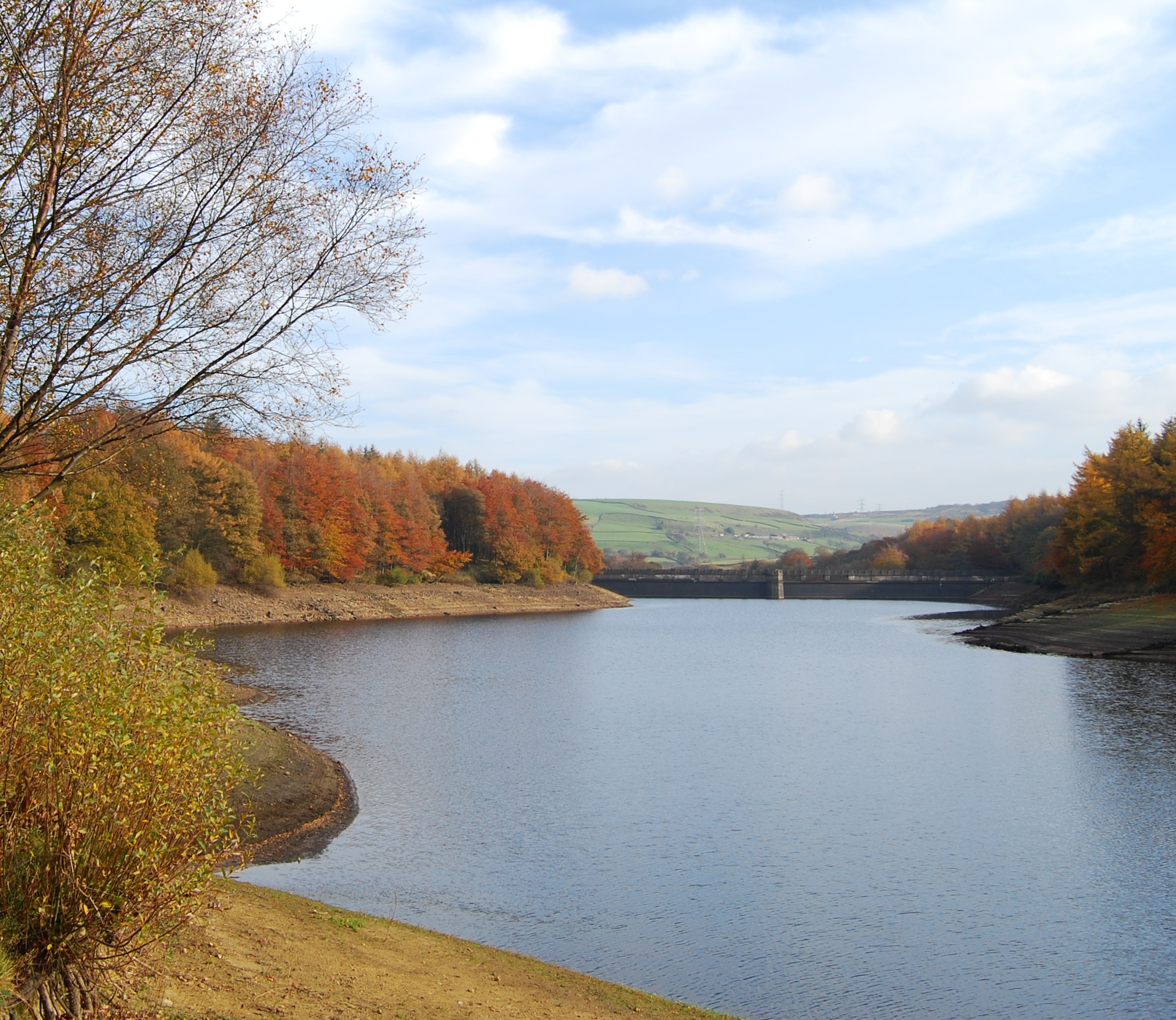
Ryburn Reservoir
Ryburn Reservoir is a supply reservoir operated by Yorkshire Water close to Ripponden in the Yorkshire Pennines, England. It lies in the valley of the...
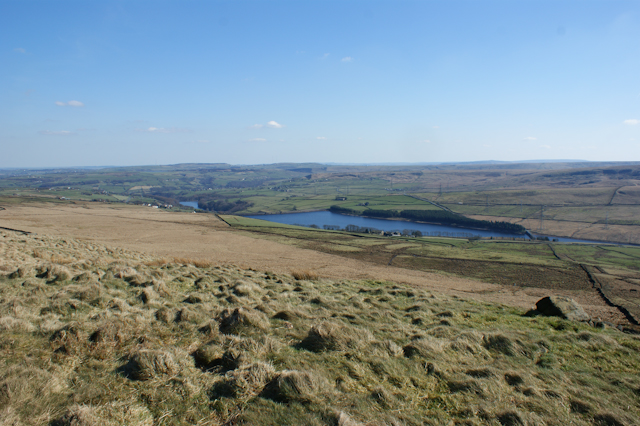
Baitings Reservoir
Baitings Reservoir is a large water supply reservoir operated by Yorkshire Water close to Ripponden in the West Yorkshire Pennines, England. It lies in...
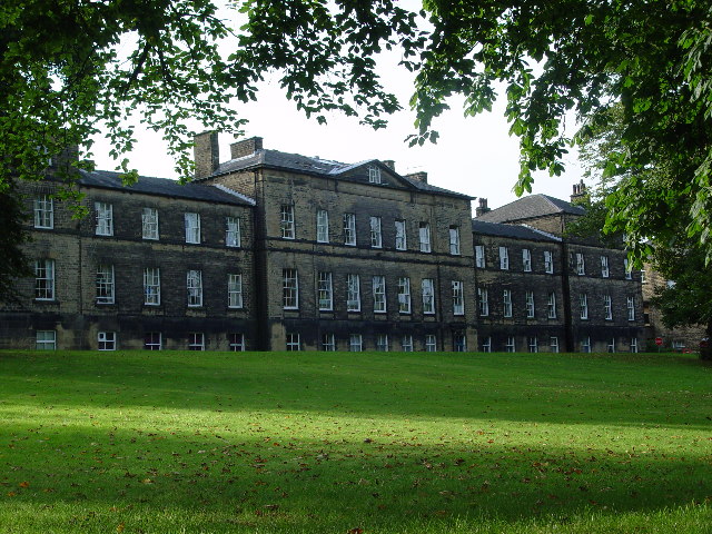
Rishworth School
Rishworth School is a co-educational independent school in the village of Rishworth, near Halifax, in West Yorkshire, England. With Heathfield, its junior...

Rishworth
Rishworth is a village in Calderdale, West Yorkshire, England. Historically in the West Riding of Yorkshire, it has a small church, farms and schools...
Nearby Amenities
Located within 500m of 53.661543,-1.971074Have you been to Bogden Clough?
Leave your review of Bogden Clough below (or comments, questions and feedback).