Noah Dale Clough

Valley in Yorkshire

England

Noah Dale Clough

Burnt moorland on the west side of the plantation This came as a shock, as I had not heard about the major moorland fire that had started the day before. However there was also a fire last year, which might have affected this area.
Burnt moorland on the west side of the plantation Credit: Humphrey Bolton

Noah Dale Clough is a picturesque valley located in Yorkshire, England. The valley is situated within the larger area known as Noah Dale, which is renowned for its natural beauty and stunning landscapes. Stretching for approximately two miles, this valley is a popular destination for nature enthusiasts, hikers, and those seeking tranquility away from the bustling city life.

The valley is characterized by its lush greenery, rolling hills, and meandering streams that cut through the landscape. It is adorned with a variety of plant species, including wildflowers and ancient oak trees, creating a diverse and vibrant ecosystem. The valley is also home to numerous species of wildlife, making it a haven for birdwatchers and animal lovers.

One of the highlights of Noah Dale Clough is its cascading waterfall, which adds to the valley's charm and allure. The waterfall is a popular spot for visitors, who can enjoy the soothing sound of rushing water and the mesmerizing sight of water cascading down the rocks.

The valley offers a range of recreational activities for visitors to enjoy. There are several well-maintained walking trails and footpaths that allow explorers to wander through the valley, taking in its natural splendor. It is also a great place for picnics and relaxation, with designated picnic areas and benches scattered throughout the valley.

In conclusion, Noah Dale Clough is a stunning valley in Yorkshire, offering a peaceful retreat amidst breathtaking natural beauty. Whether it's hiking, birdwatching, or simply enjoying a leisurely stroll, this valley provides a wonderful escape for those seeking a connection with nature.

If you have any feedback on the listing, please let us know in the comments section below.

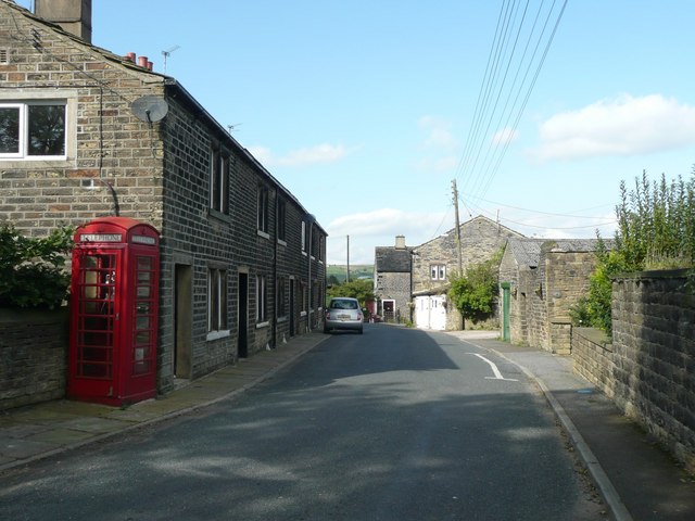
Noah Dale Clough Images

Images are sourced within 2km of 53.692058/-1.9715227 or Grid Reference SE0121. Thanks to Geograph Open Source API. All images are credited.

Burnt moorland on the west side of the plantation This came as a shock, as I had not heard about the major moorland fire that had started the day before. However there was also a fire last year, which might have affected this area.
Burnt moorland on the west side of the plantation
This came as a shock, as I had not heard about the major moorland fire that had started the day before. However there was also a fire last year, which might have affected this area.
Track along the south side of the plantation The Second Series 1:25000 map of 1982 shows many areas of Forestry Commission land on Soyland Moor, but only this one rectangular area was planted.
Track along the south side of the plantation
The Second Series 1:25000 map of 1982 shows many areas of Forestry Commission land on Soyland Moor, but only this one rectangular area was planted.
Access stile opposite the driveway to Green Holes Stiles giving access to the moorland have been provided opposite the three public footpaths along Coal Gate Road. This one is opposite Ripponden FP 20 along the driveway to Green Holes.
Access stile opposite the driveway to Green Holes
Stiles giving access to the moorland have been provided opposite the three public footpaths along Coal Gate Road. This one is opposite Ripponden FP 20 along the driveway to Green Holes.
Junction of Ripponden FP 20 with Coal Gate Road The path is along the driveway to Green Holes. Notice the circular dry-stone feature on the right.
Junction of Ripponden FP 20 with Coal Gate Road
The path is along the driveway to Green Holes. Notice the circular dry-stone feature on the right.
Flight House Road
Flight House Road
Calderdale Way descending Westwards into Cragg Vale The long distance footpath adopts High Lane as it makes a long descent into the deep trench of Cragg Vale.
Stoodley Pike can be seen on the skyline.
Calderdale Way descending Westwards into Cragg Vale
The long distance footpath adopts High Lane as it makes a long descent into the deep trench of Cragg Vale. Stoodley Pike can be seen on the skyline.
New Road Moorland road heading further up Cragg Vale
New Road
Moorland road heading further up Cragg Vale
Access Lane leading from Catherine House Adapted by the Calderdale Way long distance footpath - heading for the junction of New Road with Coppy Nook Lane
Access Lane leading from Catherine House
Adapted by the Calderdale Way long distance footpath - heading for the junction of New Road with Coppy Nook Lane
Catherine House Passed by on the Calderdale Way long distance footpath. It shows a traditional farm with an odd slightly detached chimney stack - used for the drying of grain.
Catherine House
Passed by on the Calderdale Way long distance footpath. It shows a traditional farm with an odd slightly detached chimney stack - used for the drying of grain.
Clattering Stones Road Grassy track leading from Water Stalls Road to Catherine House, adopted by the Calderdale Way long distance footpath.
Say what you like about Calderdale - but you can always rely on this area when it comes to imaginative names.
Clattering Stones Road
Grassy track leading from Water Stalls Road to Catherine House, adopted by the Calderdale Way long distance footpath. Say what you like about Calderdale - but you can always rely on this area when it comes to imaginative names.
Green Lane heading off Water Stalls Road Heading for Warcock Hill, above Cragg Vale
Green Lane heading off Water Stalls Road
Heading for Warcock Hill, above Cragg Vale
Trig Point on Crow Hill Triangulation Point at 1,257ft on the summit of Crow Hill, displaying a small amount of isolated moorland at the top.
Stoodley Pike can be seen on the skyline in the distance.
Trig Point on Crow Hill
Triangulation Point at 1,257ft on the summit of Crow Hill, displaying a small amount of isolated moorland at the top. Stoodley Pike can be seen on the skyline in the distance.
View from Crow Hill
View from Crow Hill
Crow Hill End Farm The farmyard is a little untidy, full of rusting machinery and discarded rubbish
Crow Hill End Farm
The farmyard is a little untidy, full of rusting machinery and discarded rubbish
Starfish Bombing Decoy Control Bunker on Slate Delf Hill Little more than a mound remains of this bunker nowadays. Constructed in World War II, to draw and confuse German bomber aircraft away from the intended target.
Passed by on the Calderdale Way long distance footpath.
Starfish Bombing Decoy Control Bunker on Slate Delf Hill
Little more than a mound remains of this bunker nowadays. Constructed in World War II, to draw and confuse German bomber aircraft away from the intended target. Passed by on the Calderdale Way long distance footpath.
Green Lane heading towards Great Manshead Hill Permissive footpath heading south west over moorland
Green Lane heading towards Great Manshead Hill
Permissive footpath heading south west over moorland
Bridleway across Slate Delfs Hill
Water Stalls Road Green lane adopted by the Calderdale Way long distance footpath
Water Stalls Road
Green lane adopted by the Calderdale Way long distance footpath
Show me another place!

Noah Dale Clough is located at Grid Ref: SE0121 (Lat: 53.692058, Lng: -1.9715227)

Division: West Riding

Unitary Authority: Calderdale

Police Authority: West Yorkshire

What 3 Words

///perfectly.reflect.cucumber. Near Ripponden, West Yorkshire

Nearby Locations

Noah Dale Clough

Related Wikis

Cragg Vale

Cragg Vale is a village in Calderdale, West Yorkshire, England, located south of Mytholmroyd on the B6138 road which joins the A58 and the A646. The village...

Soyland

Soyland is a village in the civil parish of Ripponden, in Calderdale, West Yorkshire, England. It is just north of Ripponden off the A58 road and is 5...
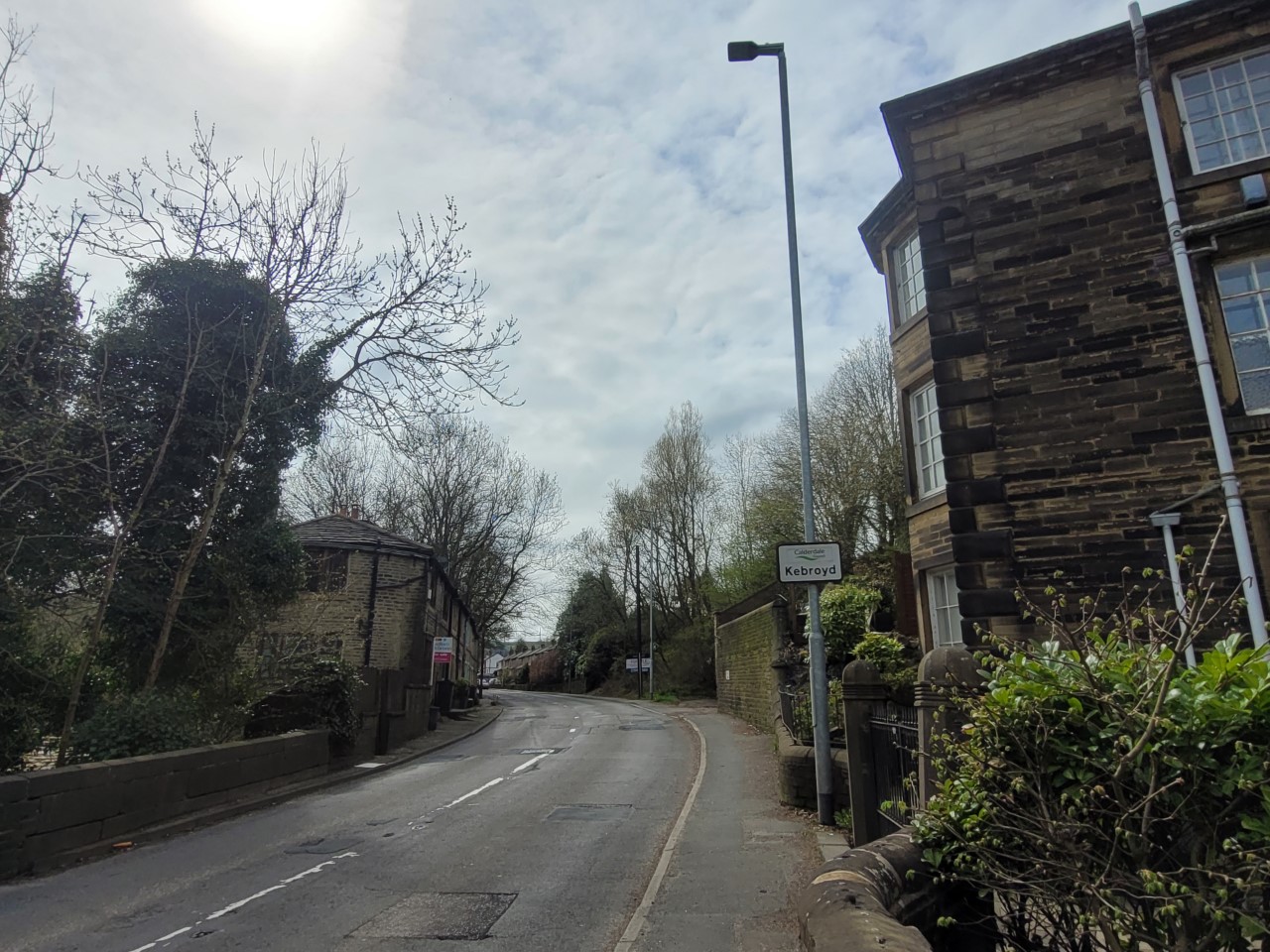
Kebroyd

Kebroyd is a small hamlet in the civil parish of Ripponden, in the Calderdale district, in West Yorkshire, England, within the valley of the River Ryburn...

Boulderclough

Boulderclough is a small village in the Borough of Calderdale in West Yorkshire, England. The village is situated between Sowerby at the south and Mytholmroyd...

Nearby Amenities

Located within 500m of 53.692058,-1.9715227
The data included in this document is from www.openstreetmap.org. The data is made available under ODbL.

Have you been to Noah Dale Clough?

Leave your review of Noah Dale Clough below (or comments, questions and feedback).