Combes Valley
Valley in Staffordshire Staffordshire Moorlands
England
Combes Valley
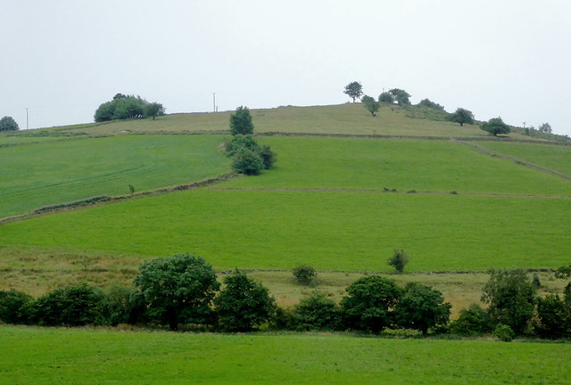
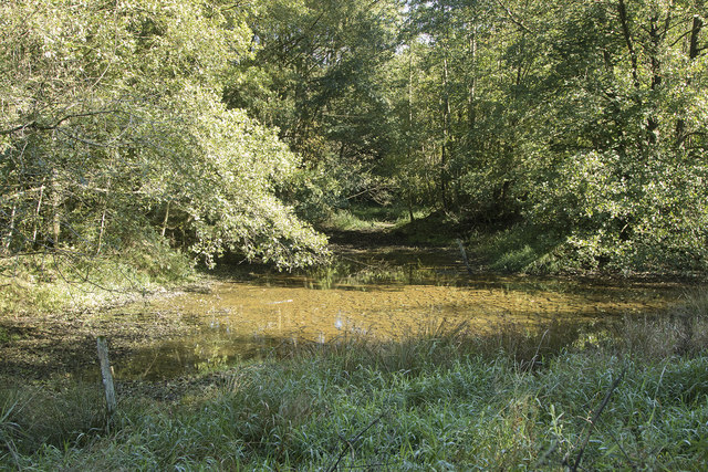
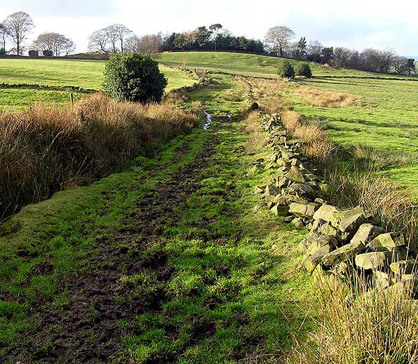
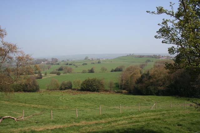
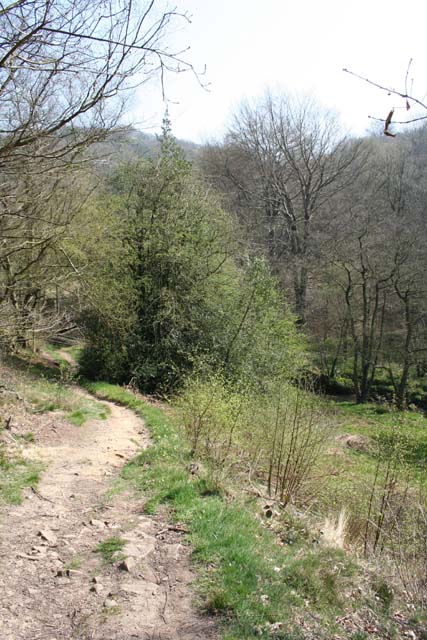
Combes Valley is a picturesque valley situated in the county of Staffordshire, England. Nestled within the Peak District National Park, the valley is renowned for its stunning natural beauty and tranquil atmosphere. It is located approximately 7 miles southeast of the town of Leek and covers an area of around 10 square kilometers.
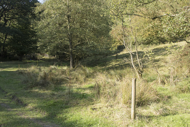
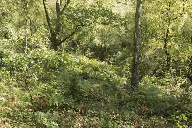
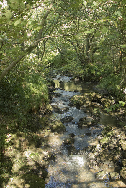
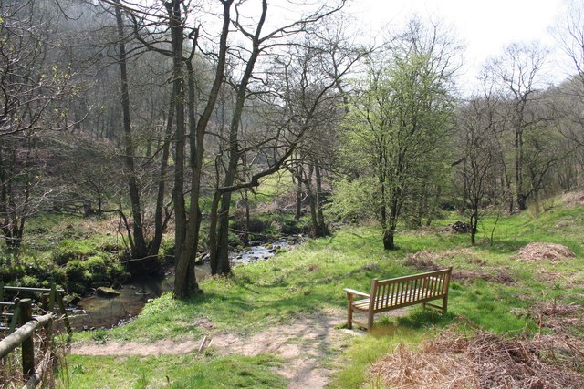
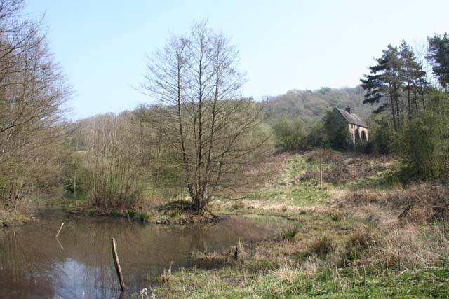
The valley is characterized by its rolling hills, lush green meadows, and ancient woodlands, making it a haven for nature enthusiasts and outdoor adventurers. The River Churnet flows through the valley, adding to its charm and providing opportunities for fishing and boating.
Combes Valley is also home to a diverse range of flora and fauna, including rare species such as the white-faced darter dragonfly and the bilberry bumblebee. The valley's unique ecosystem attracts many birdwatchers, who come to observe a variety of avian species, including buzzards, kingfishers, and herons.
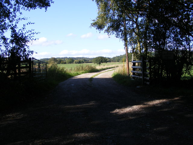
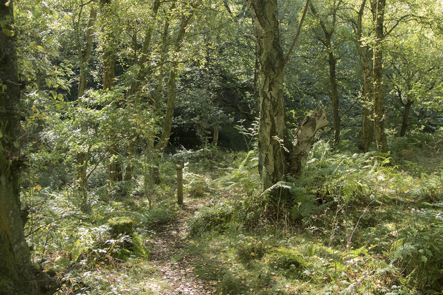
The area offers various recreational activities for visitors. Hiking and cycling trails crisscross the valley, allowing visitors to explore its scenic landscapes and discover hidden gems along the way. There are also several picnic spots and camping sites, providing the perfect opportunity to relax and enjoy the tranquility of the surroundings.
Historically, Combes Valley was a thriving mining area, with evidence of lead mining dating back to the Roman era. Remnants of these industrial activities can still be seen, adding a historical element to the valley's charm.
Overall, Combes Valley is a breathtaking destination that offers a peaceful retreat for nature lovers, outdoor enthusiasts, and those seeking a break from the hustle and bustle of city life.
If you have any feedback on the listing, please let us know in the comments section below.
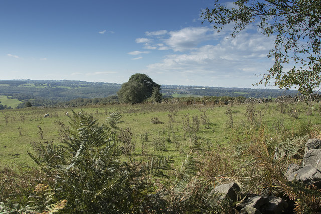
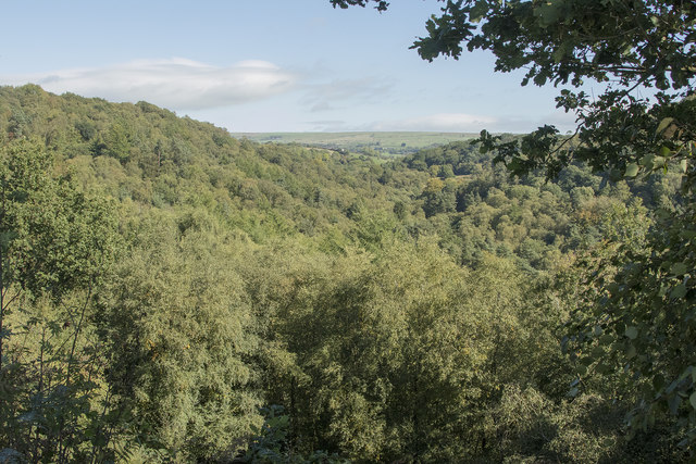
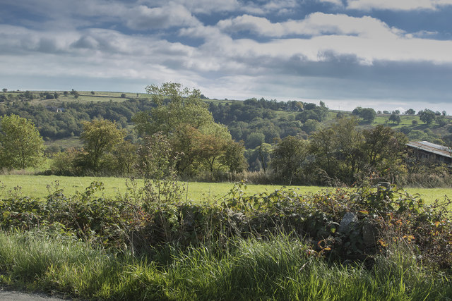
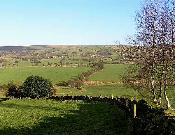
Combes Valley Images
Images are sourced within 2km of 53.066294/-1.9957658 or Grid Reference SK0052. Thanks to Geograph Open Source API. All images are credited.

Combes Valley is located at Grid Ref: SK0052 (Lat: 53.066294, Lng: -1.9957658)
Administrative County: Staffordshire
District: Staffordshire Moorlands
Police Authority: Staffordshire
What 3 Words
///giraffes.stubble.clef. Near Cheddleton, Staffordshire
Nearby Locations
Related Wikis

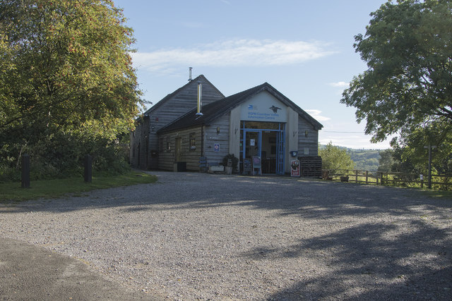
Coombes Valley RSPB reserve
Coombes Valley RSPB reserve (grid reference SK005525) is a nature reserve, run by the RSPB, near the town of Leek in Staffordshire, England. It is best...

Staffordshire Moorlands (UK Parliament constituency)
Staffordshire Moorlands is a constituency represented in the House of Commons of the UK Parliament since 2010 by Karen Bradley, a Conservative who served...

Churnet Valley Railway
The Churnet Valley Railway is a preserved standard gauge heritage railway in the Staffordshire Moorlands of Staffordshire, England. It operates on part...
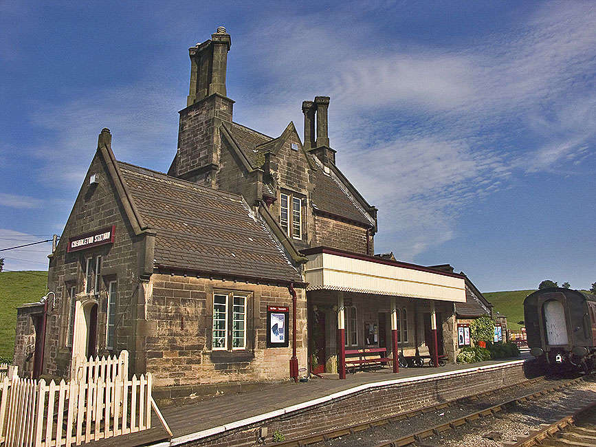
Cheddleton railway station
Cheddleton railway station is a former passenger railway station of the North Staffordshire Railway (NSR) and is now a preserved station on the Churnet...

Above Church
Above Church is a hamlet about 0.6 kilometers (0.4 mi) northwest of Ipstones in the English county of Staffordshire. It is located at grid reference SK016504...

Ipstones
Ipstones is a village and civil parish in the north of the English county of Staffordshire. Ipstones is part of the Staffordshire Moorlands district; within...

Ipstones railway station
Ipstones railway station was a railway station that served the village of Ipstones, Staffordshire. It was opened by the North Staffordshire Railway (NSR...

Leek Brook railway station
Leek Brook railway station is a passenger station in Staffordshire, Great Britain. == History == Leek Brook railway station was opened by the North Staffordshire...
Nearby Amenities
Located within 500m of 53.066294,-1.9957658Have you been to Combes Valley?
Leave your review of Combes Valley below (or comments, questions and feedback).