Burn Hope

Valley in Durham

England

Burn Hope

St Edmund Church, Edmundbyers
St Edmund Church, Edmundbyers Credit: Clive Nicholson

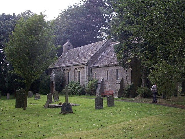
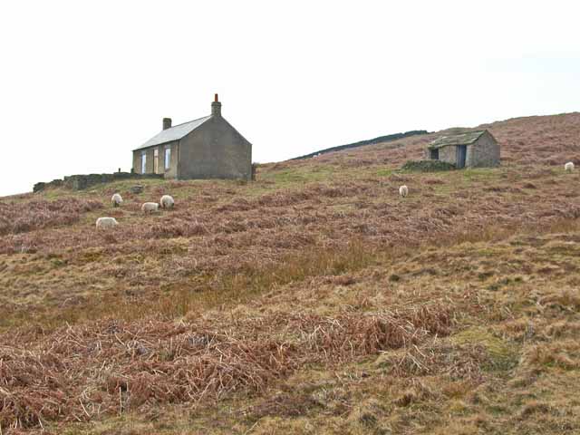
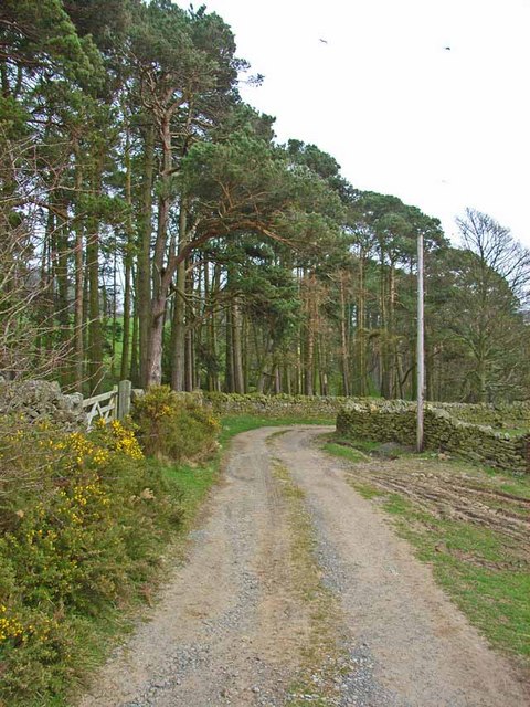
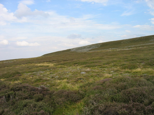
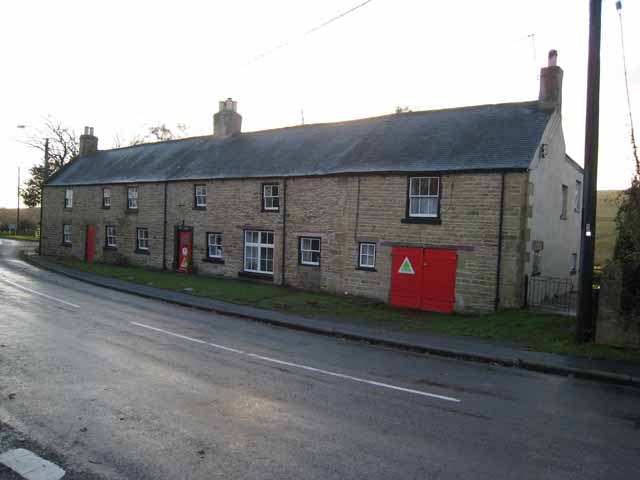
Burn Hope is a small village located in County Durham, England, nestled in the picturesque Durham Valley. The village is known for its charming rural setting, with rolling hills and lush greenery surrounding the quaint stone houses and cottages that make up the community.

The village of Burn Hope has a rich history dating back centuries, with some of the buildings in the village dating back to the medieval period. There is a sense of peace and tranquility in Burn Hope, making it an ideal destination for those looking to escape the hustle and bustle of city life.

The village is home to a close-knit community, with residents who take pride in their village and work together to maintain its beauty and charm. Burn Hope has a small primary school, a village hall, and a local pub where residents can gather and socialize.

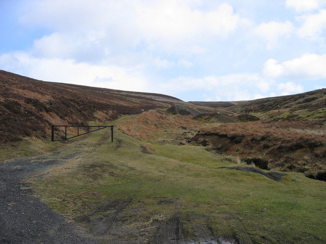
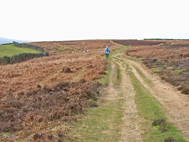
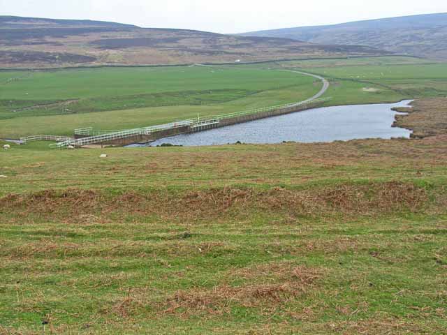
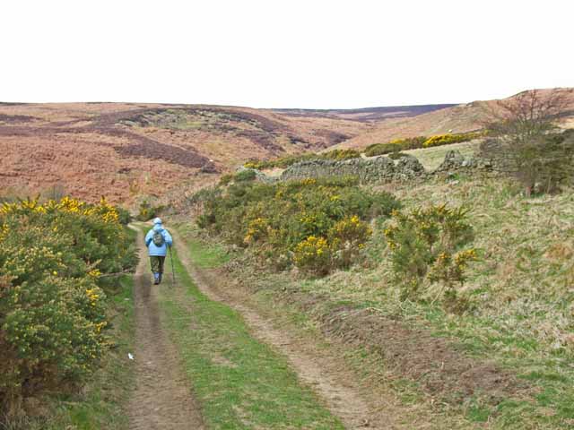
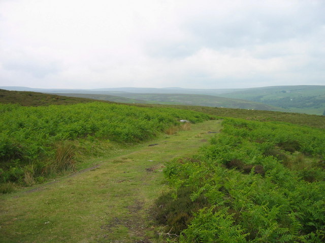
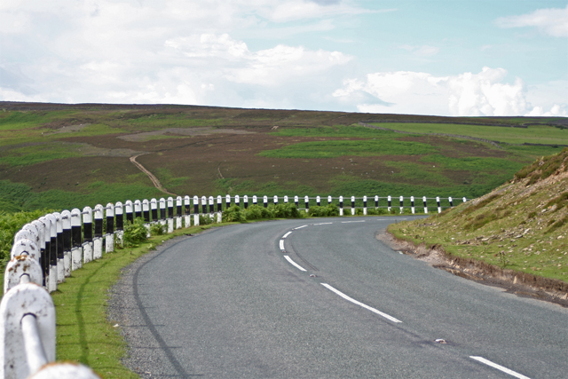
Surrounded by stunning countryside, Burn Hope offers plenty of opportunities for outdoor activities such as hiking, cycling, and fishing. Visitors to Burn Hope can also explore the nearby Durham Dales and North Pennines Area of Outstanding Natural Beauty, making it a perfect destination for nature lovers and outdoor enthusiasts.

If you have any feedback on the listing, please let us know in the comments section below.

Burn Hope Images

Images are sourced within 2km of 54.834495/-1.9980383 or Grid Reference NZ0048. Thanks to Geograph Open Source API. All images are credited.

St Edmund Church, Edmundbyers
Harehope Burn near Edmondbyers Harehope Burn which has its source at Harehope Head.  Gated track leading to grouse butts on Muggleswick Common.
Harehope Burn near Edmondbyers
Harehope Burn which has its source at Harehope Head. Gated track leading to grouse butts on Muggleswick Common.
Lead Mining Trail on Edmondbyers Common This ancient bridleway runs along the crest of Edmondbyers Common and has been signed by Durham County Council as the Lead Mining Trail between Edmondbyers and Cowshill in Weardale
Lead Mining Trail on Edmondbyers Common
This ancient bridleway runs along the crest of Edmondbyers Common and has been signed by Durham County Council as the Lead Mining Trail between Edmondbyers and Cowshill in Weardale
College near Edmonbyers It is not known why this abandoned farm is called "College". But whatever it might have been once, it certainly doesn't feature highly in the academic league tables any more!
College near Edmonbyers
It is not known why this abandoned farm is called "College". But whatever it might have been once, it certainly doesn't feature highly in the academic league tables any more!
Burnhope Burn Reservoir above Edmondbyers
Lead Mining Trail on Edmondbyers Common This ancient bridleway runs along the crest of Edmondbyers Common and has been signed by Durham County Council as the Lead Mining Trail between Edmondbyers and Cowshill in Weardale
Lead Mining Trail on Edmondbyers Common
This ancient bridleway runs along the crest of Edmondbyers Common and has been signed by Durham County Council as the Lead Mining Trail between Edmondbyers and Cowshill in Weardale
St Edmund's Church, Edmondbyers This lovely old church dates back to the early years of the 12th century
St Edmund's Church, Edmondbyers
This lovely old church dates back to the early years of the 12th century
Pinewood near Edmondbyers
Footpath on Stoterley Hill
Feldon Carrs
Feldon Carrs
Edmundbyers village green
Edmundbyers Youth Hostel Formerly an inn, dating back to the 17th century.A youth hostel of the old style since 1935, but now sadly out of synch with modern trends in youth hostelling, and only open on a limited basis. <span class="nowrap"><a title="http://www.yha.org.uk/hostel/hostelpages/65.html" rel="nofollow ugc noopener" href="http://www.yha.org.uk/hostel/hostelpages/65.html">Link</a><img style="margin-left:2px;" alt="External link" title="External link - shift click to open in new window" src="https://s1.geograph.org.uk/img/external.png" width="10" height="10"/></span>
Edmundbyers Youth Hostel
Formerly an inn, dating back to the 17th century.A youth hostel of the old style since 1935, but now sadly out of synch with modern trends in youth hostelling, and only open on a limited basis. LinkExternal link
Road near Edmundbyers The road makes a hairpin bend to negotiate the gully formed by Harehope burn
Road near Edmundbyers
The road makes a hairpin bend to negotiate the gully formed by Harehope burn
Farmers track near Harehope Burn. A rough track leads onto the fell from the Edmundbyers road near Harehope Burn
Farmers track near Harehope Burn.
A rough track leads onto the fell from the Edmundbyers road near Harehope Burn
Old bridge over Harehope Burn Old stone arched bridge takes the track over Harehope Burn.
Old bridge over Harehope Burn
Old stone arched bridge takes the track over Harehope Burn.
Muggleswick Common
Muggleswick Common
An interesting corner of Muggleswick Common
Feldon Carrs (2)
Feldon Carrs (2)
Show me another place!

Burn Hope is located at Grid Ref: NZ0048 (Lat: 54.834495, Lng: -1.9980383)

Unitary Authority: County Durham

Police Authority: Durham

What 3 Words

///decorator.conqueror.thinnest. Near Muggleswick, Co. Durham

Nearby Locations

Burn Hope

Related Wikis

Edmundbyers

Edmundbyers is a village in County Durham, in England. It is situated a few miles to the west of Consett, near Derwent Reservoir. In 2001 it had a population...

Muggleswick, Stanhope and Edmundbyers Commons and Blanchland Moor

Muggleswick, Stanhope and Edmundbyers Commons and Blanchland Moor is a Site of Special Scientific Interest in County Durham and Northumberland, England...

Pow Hill Bog

Pow Hill Bog is a Site of Special Scientific Interest in the Wear Valley district of County Durham, England. It lies alongside Derwent Reservoir, approximately...

Burnhope Burn

Burnhope Burn is a Site of Special Scientific Interest in the Wear Valley district of north County Durham, England. It consists of a 12.6-acre (5.1 ha...

Nearby Amenities

Located within 500m of 54.834495,-1.9980383
Feldon Smelt Mill
HE Ref: 1015861
Designation: scheduled_monument
Historic: archaeological_site
Image: https://www.geograph.org.uk/photo/2687433
Wikidata: Q17674955
Lat/Long: 54.8319903/-2.0012713
Ford: yes
Lat/Long: 54.8356885/-1.9958675
Ford: yes
Lat/Long: 54.8376358/-1.9936314
Burnhope Lead Mine
Archaeological Site: mineral_extraction
Historic: archaeological_site
Source: Historic OS mapping
Lat/Long: 54.8346844/-1.9949627
Swandale Lead Mine
Historic: archaeological_site
Source: Historic OS mapping
Lat/Long: 54.8366617/-1.9940561
Disused: yes
Man Made: mineshaft
Lat/Long: 54.8374217/-1.9969207
Barrier: entrance
Lat/Long: 54.8382179/-1.9988532
The data included in this document is from www.openstreetmap.org. The data is made available under ODbL.

Have you been to Burn Hope?

Leave your review of Burn Hope below (or comments, questions and feedback).