Barncombe Bottom
Valley in Gloucestershire Cotswold
England
Barncombe Bottom
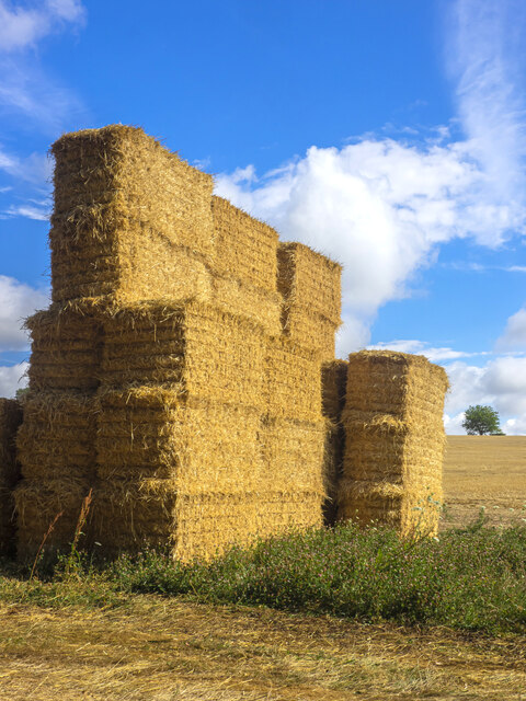
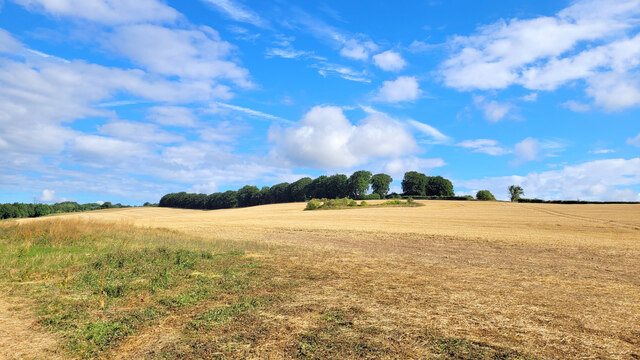
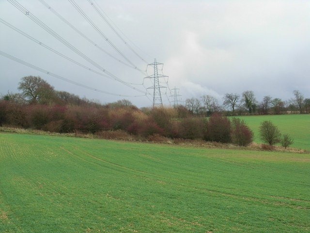
Barncombe Bottom is a picturesque valley situated in the county of Gloucestershire, England. Nestled amidst the stunning Cotswold Hills, this idyllic location offers breathtaking views and a tranquil atmosphere for visitors to enjoy.
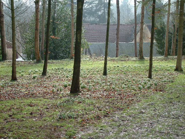
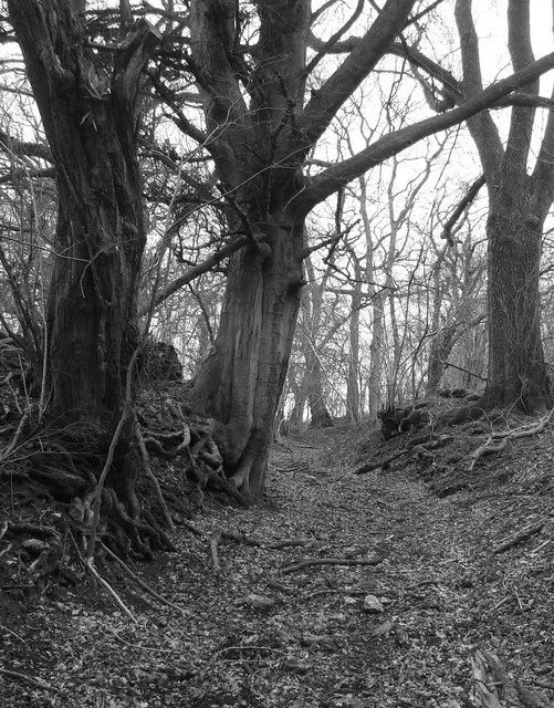
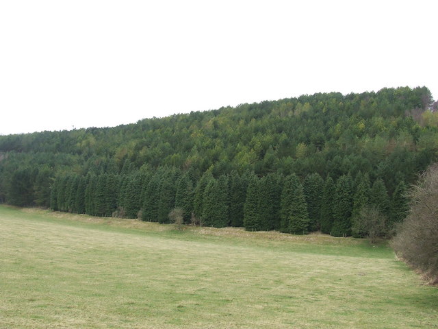
The valley is characterized by its lush green meadows, rolling hills, and meandering streams that flow through its heart. It is a haven for nature lovers and outdoor enthusiasts, with an abundance of flora and fauna to discover. The area is home to a wide variety of wildlife, including deer, foxes, badgers, and numerous bird species.
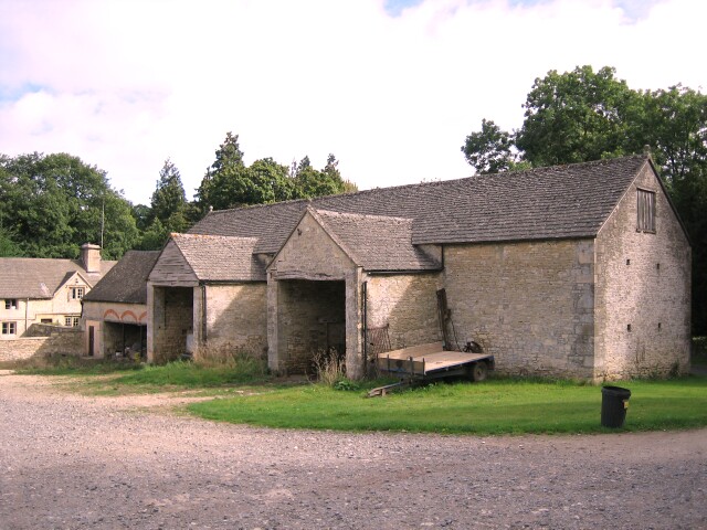
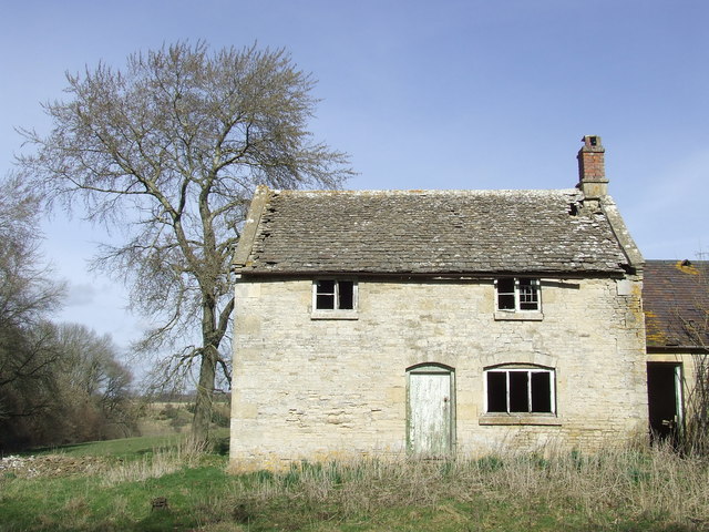
Visitors to Barncombe Bottom can explore the valley through a network of footpaths and trails, which offer opportunities for hiking, cycling, and horseback riding. The valley is also dotted with charming villages and hamlets, where visitors can experience the traditional Cotswold charm and hospitality.
One of the highlights of Barncombe Bottom is its rich history and heritage. The valley is dotted with ancient archaeological sites, including burial mounds and Roman remains, which offer a glimpse into the region's past. The nearby Barncombe Hill provides panoramic views of the surrounding countryside and is believed to have been used as a hillfort during the Iron Age.
Overall, Barncombe Bottom is a hidden gem in Gloucestershire, offering a perfect blend of natural beauty, outdoor activities, and historical significance. Whether you are seeking a peaceful retreat or an opportunity to explore the region's heritage, this valley has something to offer everyone.
If you have any feedback on the listing, please let us know in the comments section below.
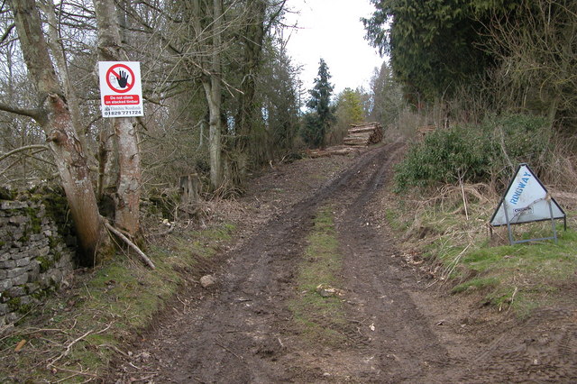
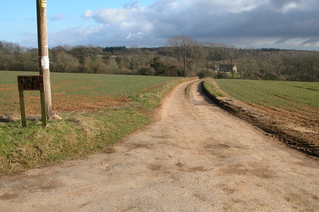
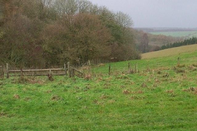
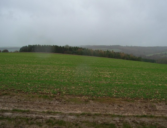
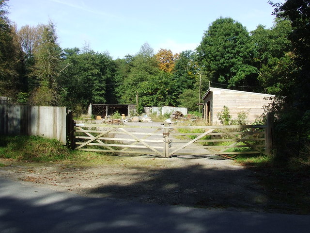
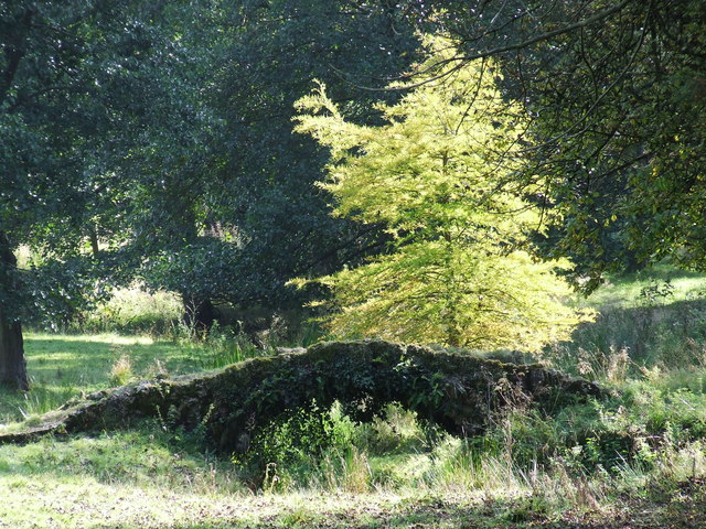
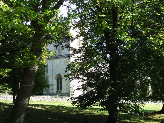
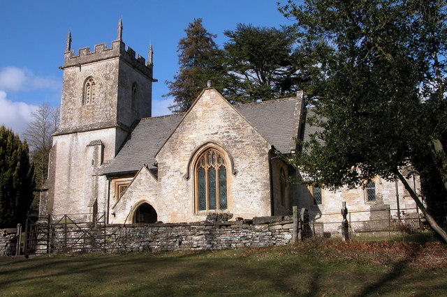
Barncombe Bottom Images
Images are sourced within 2km of 51.829709/-2.0033921 or Grid Reference SO9914. Thanks to Geograph Open Source API. All images are credited.


Barncombe Bottom is located at Grid Ref: SO9914 (Lat: 51.829709, Lng: -2.0033921)
Administrative County: Gloucestershire
District: Cotswold
Police Authority: Gloucestershire
What 3 Words
///snowmen.searched.jolt. Near Charlton Kings, Gloucestershire
Nearby Locations
Related Wikis
Colesbourne
Colesbourne is a village and civil parish in the Cotswold district of Gloucestershire, England. The village and parish lies within the Cotswolds, a designated...

Cockleford Marsh
Cockleford Marsh (grid reference SO977133) is a 3.2-hectare (7.9-acre) biological Site of Special Scientific Interest in Gloucestershire, notified in 1991...

Withington, Gloucestershire
Withington is a Cotswold village and civil parish in Gloucestershire, England, about 7 miles (11 km) southeast of Cheltenham and 8 miles (13 km) north...

Cotswold Hills Geopark
A swathe of the Cotswold Hills almost 60 miles long has been proposed as the Cotswold Hills Geopark. The Geopark project offers educational resources on...

Cowley, Gloucestershire
Cowley is a village and civil parish in the Cotswold District of Gloucestershire, England. It lies between the A417 and A435 roads between Cheltenham...

Church of St Michael, Withington
The Anglican Church of St Michael at Withington in the Cotswold District of Gloucestershire, England was built in the 12th century. It is a grade I listed...

Withington railway station (Gloucestershire)
Withington railway station was on the Midland and South Western Junction Railway serving the village of Withington in Gloucestershire. The station opened...

Church of St John the Evangelist, Elkstone
The Anglican Church of St John the Evangelist at Elkstone in the Cotswold District of Gloucestershire, England was built in the 12th century. It is a grade...
Nearby Amenities
Located within 500m of 51.829709,-2.0033921Have you been to Barncombe Bottom?
Leave your review of Barncombe Bottom below (or comments, questions and feedback).