Shire Clough
Valley in Cheshire
England
Shire Clough
Shire Clough is a picturesque valley located in the county of Cheshire, England. Nestled in the heart of the Cheshire countryside, the valley is known for its charming scenery and tranquil atmosphere. The name "Shire Clough" derives from the Old English word "shire," meaning a division of land, and "clough," which refers to a steep-sided valley or ravine.
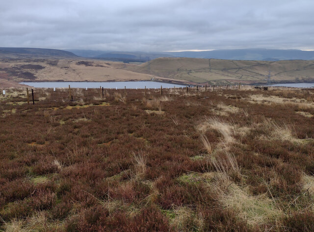
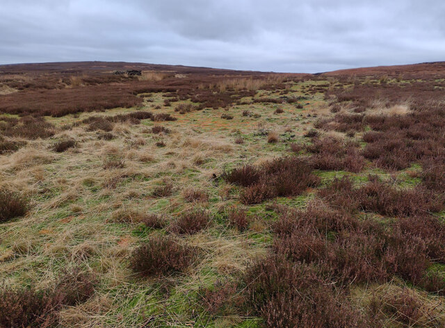
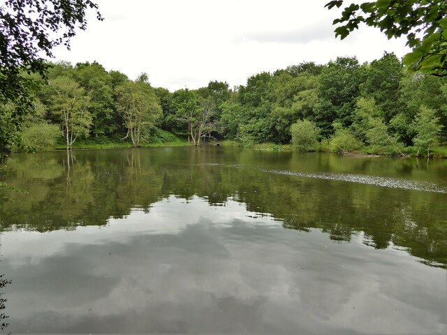
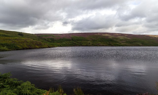
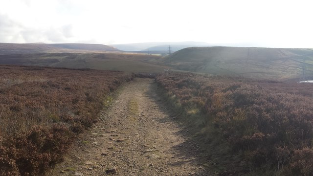
The valley is characterized by rolling hills, lush green meadows, and dense woodland, creating a diverse and vibrant ecosystem. The River Dane, a prominent feature of Shire Clough, meanders through the valley, adding to its natural beauty. The river provides a serene setting for leisurely walks and is a popular spot for fishing enthusiasts.
Shire Clough is renowned for its rich biodiversity, with numerous species of plants and animals calling the valley home. The woodland areas are particularly noteworthy, hosting a variety of native trees such as oak, beech, and ash. Wildlife enthusiasts can spot a range of species, including badgers, deer, and a wide array of birdlife.
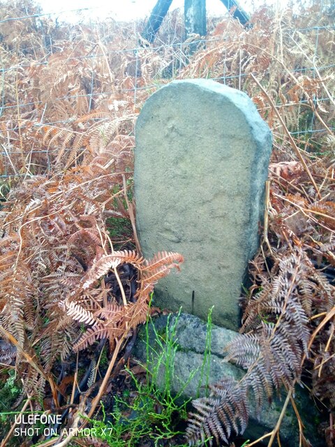
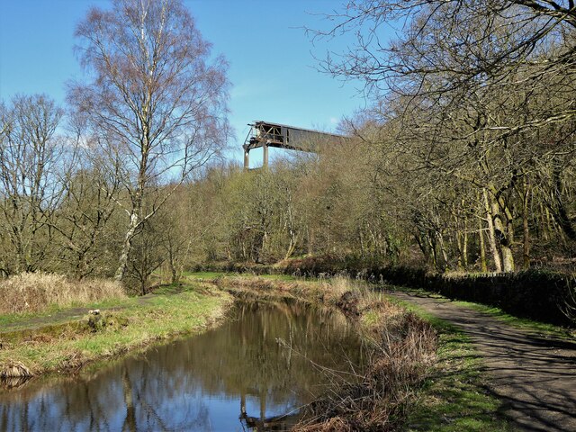
The valley is also steeped in history, with evidence of human settlement dating back centuries. Ruins of old mills and farms can still be found, serving as reminders of the area's industrial past. The valley's historical significance, combined with its natural beauty, makes it a popular destination for both locals and visitors seeking a peaceful retreat or an opportunity to explore the region's heritage.
Overall, Shire Clough offers a tranquil escape from the hustle and bustle of modern life, providing a haven for nature lovers and history enthusiasts alike.
If you have any feedback on the listing, please let us know in the comments section below.
Shire Clough Images
Images are sourced within 2km of 53.501968/-2.0141026 or Grid Reference SD9900. Thanks to Geograph Open Source API. All images are credited.


Shire Clough is located at Grid Ref: SD9900 (Lat: 53.501968, Lng: -2.0141026)
Unitary Authority: Tameside
Police Authority: Greater Manchester
What 3 Words
///pacifist.sweeping.someone. Near Mossley, Manchester
Nearby Locations
Related Wikis

Harridge Pike
Harridge Pike is a hill situated within the boundaries of Stalybridge, Greater Manchester just outside the Peak District National Park. Its western flank...

Buckton Castle
Buckton Castle was a medieval enclosure castle near Carrbrook in Stalybridge, Greater Manchester, England. It was surrounded by a 2.8-metre-wide (9 ft...
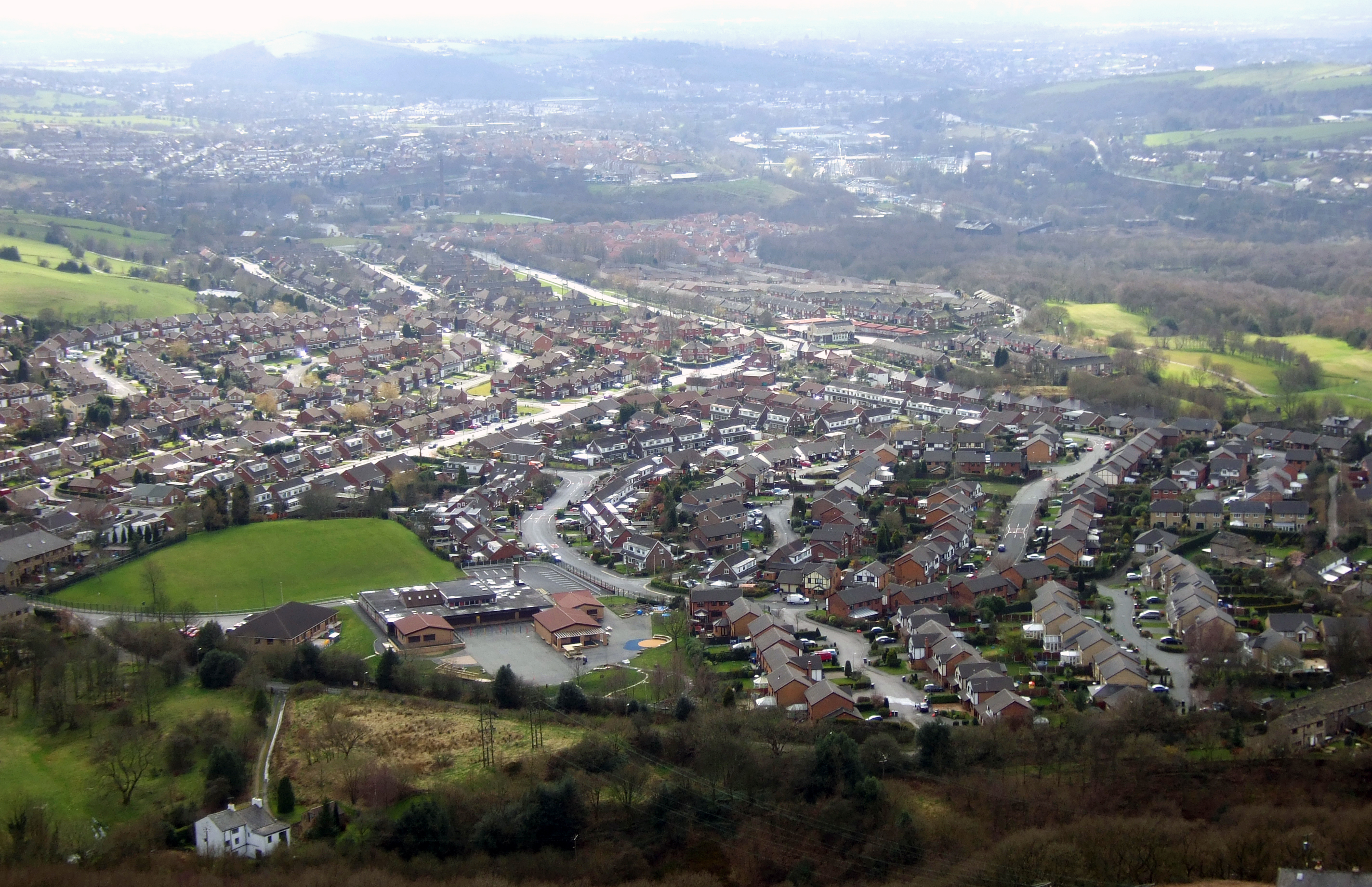
Carrbrook
Carrbrook is a village east of Stalybridge, in Cheshire, Greater Manchester, England. The area still has many seventeenth and eighteenth-century buildings...

Heyheads
Heyheads is the easternmost area of Stalybridge, in Greater Manchester, England. The area includes the sixteenth century Grade II listed Nos 1, 2 and 3...

Stalybridge South (ward)
Stalybridge South is an electoral ward of Tameside, England. It is represented in Westminster by Jonathan Reynolds Labour Co-operative MP for Stalybridge...

Brushes Reservoir
Brushes Reservoir is the second lowest reservoir of a series of four in the Brushes valley above Stalybridge in Greater Manchester, England. It was built...

Millbrook, Greater Manchester
Millbrook is a village near Stalybridge, northwest England. It is part of the Stalybridge South ward of Tameside metropolitan borough. It also played...
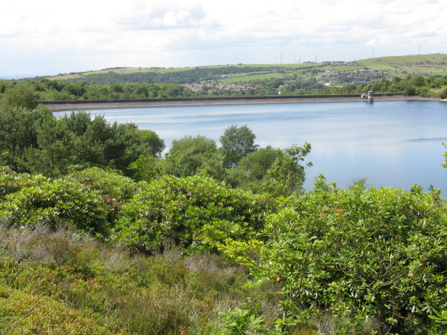
Walkerwood Reservoir
Walkerwood Reservoir is a reservoir in the Brushes valley above Stalybridge in Greater Manchester, built in the 19th century to provide a supply of safe...
Nearby Amenities
Located within 500m of 53.501968,-2.0141026Have you been to Shire Clough?
Leave your review of Shire Clough below (or comments, questions and feedback).