Rag Sapling Clough
Valley in Yorkshire
England
Rag Sapling Clough

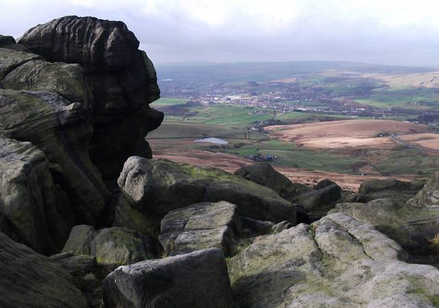
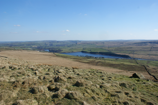
Rag Sapling Clough is a picturesque valley located in Yorkshire, England. Nestled amidst rolling hills and lush greenery, it is renowned for its natural beauty and tranquil atmosphere. The valley stretches over a distance of approximately 2 miles and is characterized by its deep, narrow gorge that has been carved out by a meandering stream over centuries.
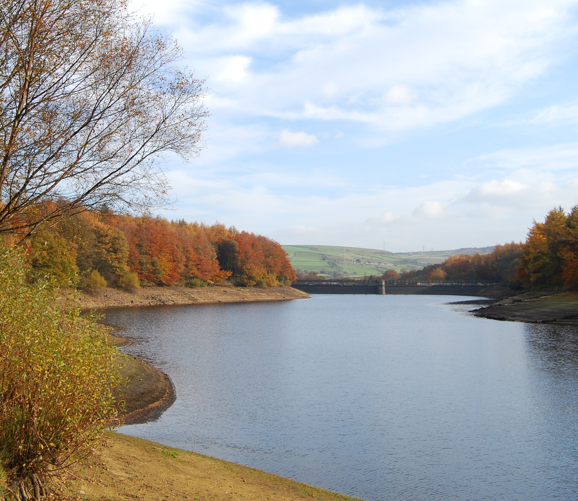
The name "Rag Sapling Clough" originates from the Old English term "clough," meaning a steep-sided valley, and "rag sapling," which refers to the undergrowth of trees and shrubs found in the area. These plants, including oak, birch, and hawthorn, create a dense canopy, casting dappled shadows on the forest floor.
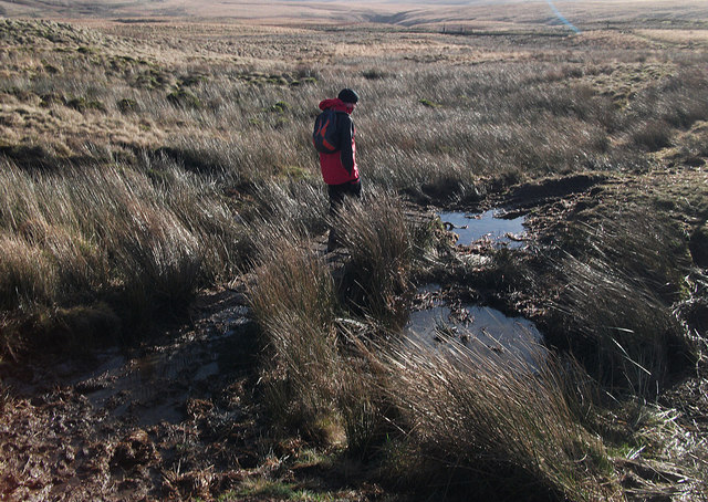
The valley is intersected by a babbling brook, which adds to the charm of the landscape. This stream is home to various species of aquatic life, including trout and minnows, making it a popular spot for fishing enthusiasts. Additionally, the valley boasts an array of wildlife, such as rabbits, squirrels, and a variety of bird species, making it a haven for nature lovers and birdwatchers.
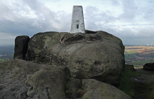
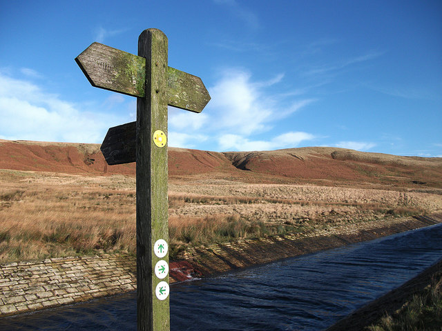
Rag Sapling Clough is a favored destination for hikers and walkers, offering numerous trails that meander through the valley and its surrounding hills. These paths provide breathtaking views of the countryside and allow visitors to immerse themselves in the tranquility of nature. The valley is also dotted with several picnic spots, inviting visitors to relax and enjoy the peaceful ambiance.
Overall, Rag Sapling Clough is a hidden gem in Yorkshire, offering a serene escape from the hustle and bustle of everyday life. Its idyllic landscape, diverse wildlife, and recreational activities make it a must-visit destination for nature enthusiasts and outdoor adventurers.
If you have any feedback on the listing, please let us know in the comments section below.
Rag Sapling Clough Images
Images are sourced within 2km of 53.656043/-2.0249582 or Grid Reference SD9817. Thanks to Geograph Open Source API. All images are credited.


Rag Sapling Clough is located at Grid Ref: SD9817 (Lat: 53.656043, Lng: -2.0249582)
Division: West Riding
Unitary Authority: Calderdale
Police Authority: West Yorkshire
What 3 Words
///shell.bends.crystals. Near Littleborough, Manchester
Nearby Locations
Related Wikis

Blackstone Edge Reservoir
Blackstone Edge Reservoir is a reservoir in the Metropolitan Borough of Rochdale, Greater Manchester, England. It is close to Blackstone Edge, from which...

Blackstone Edge
Blackstone Edge ( BLAK-stən) is a gritstone escarpment at 472 metres (1,549 ft) above sea level in the Pennine hills surrounded by moorland on the boundary...
Baitings Reservoir
Baitings Reservoir is a large water supply reservoir operated by Yorkshire Water close to Ripponden in the West Yorkshire Pennines, England. It lies in...
Ryburn Reservoir
Ryburn Reservoir is a supply reservoir operated by Yorkshire Water close to Ripponden in the Yorkshire Pennines, England. It lies in the valley of the...
Nearby Amenities
Located within 500m of 53.656043,-2.0249582Have you been to Rag Sapling Clough?
Leave your review of Rag Sapling Clough below (or comments, questions and feedback).