Old Snap Bottoms
Valley in Yorkshire
England
Old Snap Bottoms
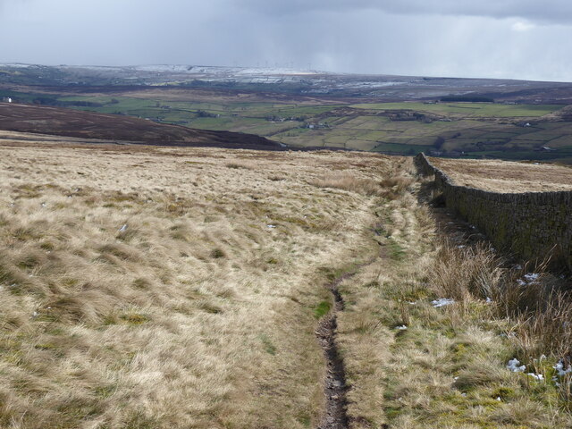
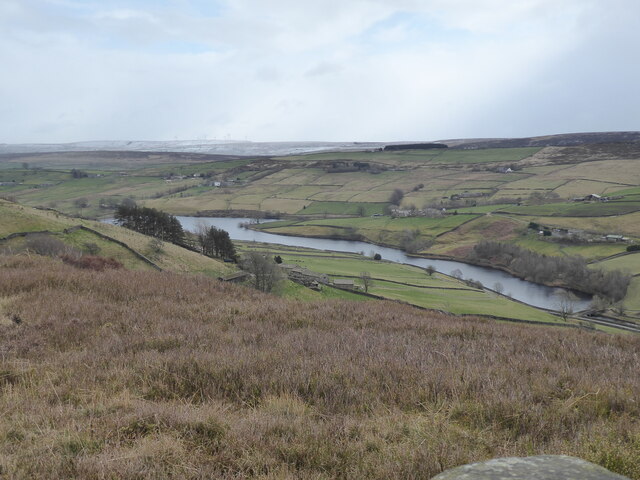
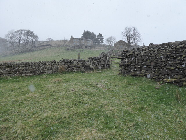
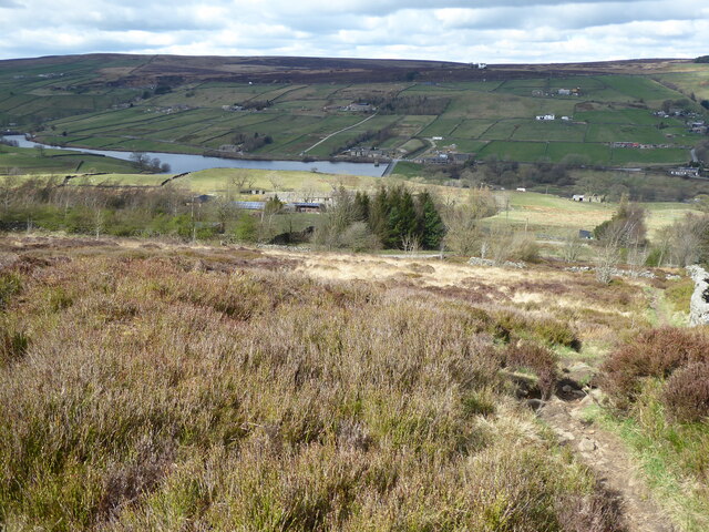
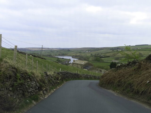
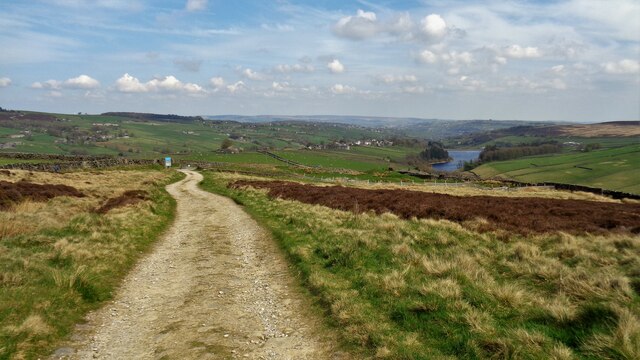
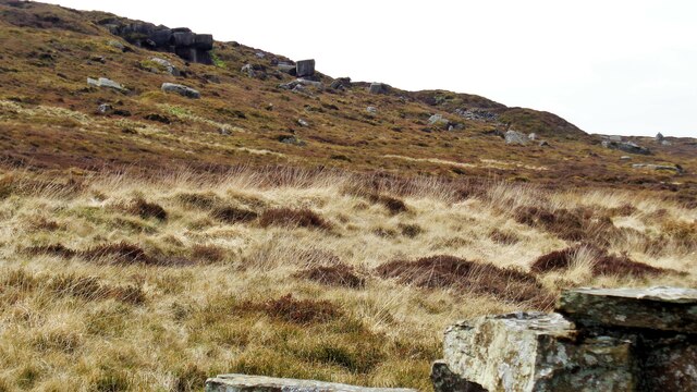
Old Snap Bottoms is a picturesque valley located in the heart of Yorkshire, England. Nestled amidst rolling hills and lush greenery, this hidden gem offers a tranquil retreat for nature lovers and outdoor enthusiasts.
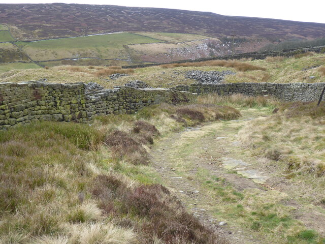
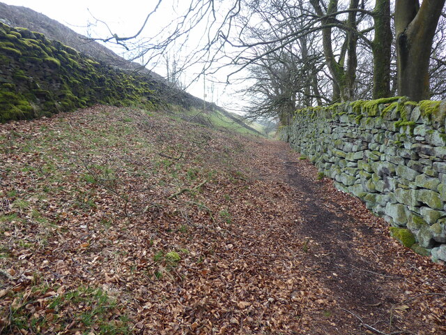
The name "Old Snap Bottoms" is derived from the Old English words "snap," meaning a sharp, sudden turn, and "bottom," referring to a valley or hollow. This aptly describes the unique topography of the area, characterized by steep slopes and meandering streams that have carved their way through the landscape over centuries.
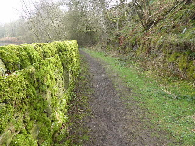
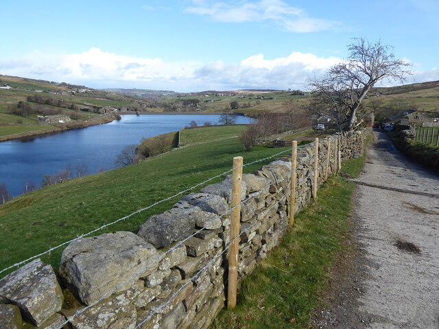
The valley is renowned for its stunning natural beauty, with a diverse range of flora and fauna. Visitors can expect to encounter a variety of native species, including wildflowers, birds, and small mammals. The area is also home to several rare plant species, making it a popular destination for botanists and researchers.
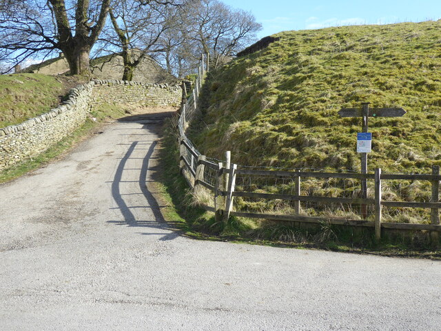
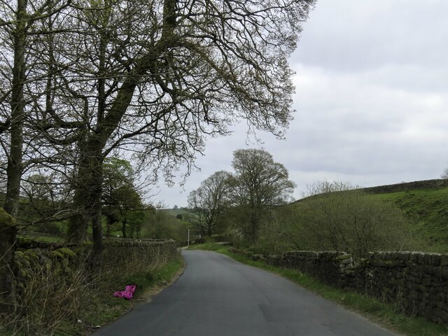
Outdoor activities abound in Old Snap Bottoms, making it a paradise for hikers, cyclists, and nature enthusiasts. The valley offers an extensive network of trails, ranging from gentle strolls along the riverbanks to challenging hikes up the surrounding hills. Exploring the area on foot allows visitors to fully immerse themselves in the tranquility of the surroundings and soak in the breathtaking panoramic views.
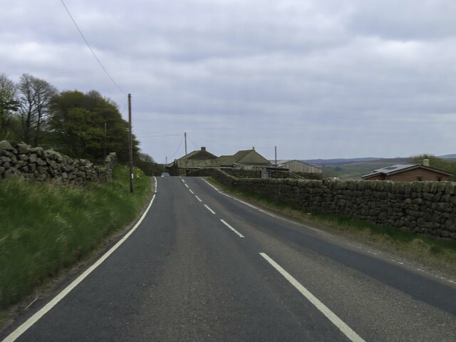
In addition to its natural splendor, Old Snap Bottoms boasts a rich cultural heritage. The valley is dotted with historic landmarks, including old stone bridges, remnants of ancient settlements, and traditional Yorkshire farmhouses. These remnants serve as a reminder of the area's past and provide a glimpse into the lives of the people who once inhabited this idyllic valley.
Overall, Old Snap Bottoms offers a perfect blend of natural beauty, outdoor adventures, and cultural significance. Whether seeking a peaceful retreat or an active exploration, visitors to this enchanting valley will undoubtedly be captivated by its timeless charm and captivating landscapes.
If you have any feedback on the listing, please let us know in the comments section below.
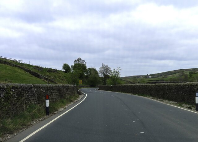
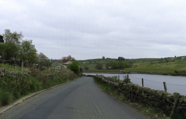
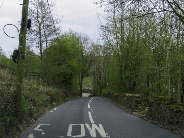
Old Snap Bottoms Images
Images are sourced within 2km of 53.834609/-2.0252022 or Grid Reference SD9837. Thanks to Geograph Open Source API. All images are credited.
Old Snap Bottoms is located at Grid Ref: SD9837 (Lat: 53.834609, Lng: -2.0252022)
Division: West Riding
Unitary Authority: Bradford
Police Authority: West Yorkshire
What 3 Words
///clenching.showering.segments. Near Haworth, West Yorkshire
Nearby Locations
Related Wikis

Ponden Hall
Ponden Hall is a farmhouse near Stanbury in West Yorkshire, England. It is famous for reputedly being the inspiration for Thrushcross Grange, the home...

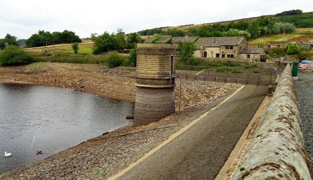
Ponden Reservoir
Ponden Reservoir is an artificial upland lake in the Worth Valley, near Stanbury, West Yorkshire, England. Ponden was built as a compensation reservoir...

Scar Top
Scar Top is a farming hamlet near the tourist village of Haworth in the City of Bradford metropolitan borough, West Yorkshire in England. It is in the...

Watersheddles Reservoir
Watersheddles Reservoir is an upland artificial lake in Lancashire, England. The reservoir was opened in 1877 by the Keighley Corporation Water Works,...
Nearby Amenities
Located within 500m of 53.834609,-2.0252022Have you been to Old Snap Bottoms?
Leave your review of Old Snap Bottoms below (or comments, questions and feedback).