Den of Ardeneret
Valley in Aberdeenshire
Scotland
Den of Ardeneret
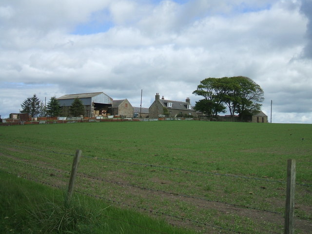
Den of Ardeneret is a picturesque valley located in Aberdeenshire, Scotland. Nestled amidst the rolling hills, this hidden gem is a haven for nature enthusiasts and hikers. The valley is situated approximately 20 miles northwest of Aberdeen, making it easily accessible for day trips or weekend getaways.
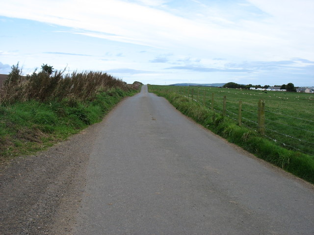
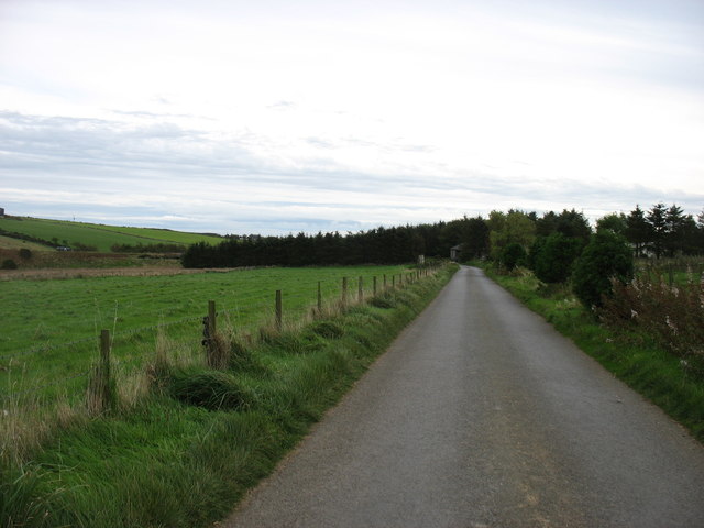
The Den of Ardeneret is renowned for its tranquil atmosphere and stunning landscapes. The valley is adorned with lush greenery, towering trees, and a meandering river that adds to its charm. Walking through the valley, visitors can enjoy the sounds of birds chirping and the soothing rush of water.
The area offers a variety of walking trails suitable for all levels of experience. Whether you are a leisurely stroller or an avid hiker, there is something for everyone. The trails lead you through dense forests, across wooden bridges, and up gentle slopes, offering breathtaking views of the surrounding countryside.
Wildlife enthusiasts will also find joy in Den of Ardeneret. The valley is home to a diverse range of flora and fauna, including red deer, squirrels, and a variety of bird species. Binoculars are a must for birdwatchers as the area attracts several rare and migratory birds.
For those interested in history, Den of Ardeneret also holds ancient significance. The valley is believed to have been inhabited by prehistoric communities, and remnants of ancient settlements can still be found in the area, adding a touch of archaeology to the natural beauty.
Overall, Den of Ardeneret is a true sanctuary of nature, offering a peaceful retreat from the hustle and bustle of everyday life. It is a place where one can immerse themselves in the beauty of the Scottish countryside and experience the wonders of the great outdoors.
If you have any feedback on the listing, please let us know in the comments section below.
Den of Ardeneret Images
Images are sourced within 2km of 57.439578/-2.0296192 or Grid Reference NJ9838. Thanks to Geograph Open Source API. All images are credited.


Den of Ardeneret is located at Grid Ref: NJ9838 (Lat: 57.439578, Lng: -2.0296192)
Unitary Authority: Aberdeenshire
Police Authority: North East
What 3 Words
///icon.cheater.bulbs. Near Ellon, Aberdeenshire
Nearby Locations
Related Wikis

Skelmuir Hill
Skelmuir Hill is a landform in Aberdeenshire, Scotland. This is the location of a trig point or official government survey marker. Skelmuir Hill is the...
Kinmuck Castle
Kinmuck Castle was a 14th-century castle, about 4.0 miles (6.4 km) north-east of Ellon, Aberdeenshire, Scotland, at, or close to, Mains of Kinmuck. Alternative...

Formartine and Buchan Way
The Formartine and Buchan Way is a long-distance trail in Scotland, extending from Dyce north to Peterhead and Fraserburgh in the Buchan and Formartine...
Arnage Castle
Arnage Castle is a country house, incorporating a Z-plan tower house, located around 4 miles (6.4 km) north of Ellon, in Aberdeenshire, north-east Scotland...
Nearby Amenities
Located within 500m of 57.439578,-2.0296192Have you been to Den of Ardeneret?
Leave your review of Den of Ardeneret below (or comments, questions and feedback).