Blue Scar Clough
Valley in Yorkshire
England
Blue Scar Clough
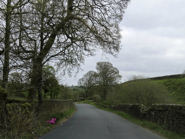
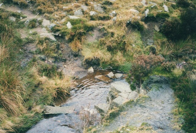
Blue Scar Clough is a picturesque valley located in Yorkshire, England. Nestled amidst the stunning Yorkshire Dales, it offers breathtaking views and a serene atmosphere to its visitors. The clough is named after the distinctive blue-colored limestone that lines its steep, towering cliffs, lending it a unique and captivating appeal.
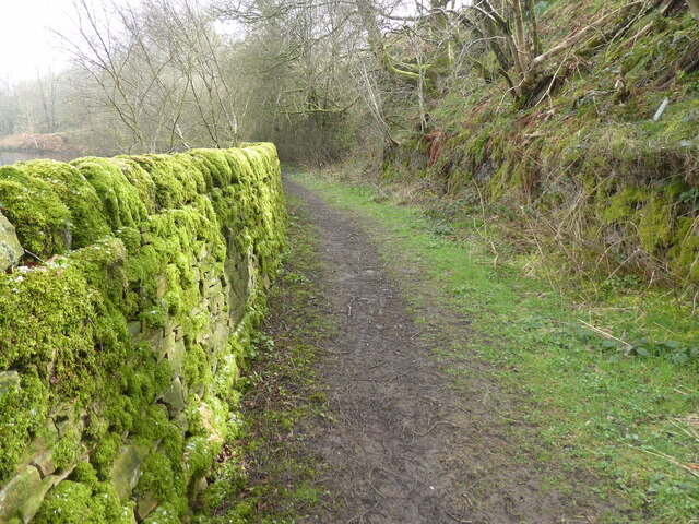
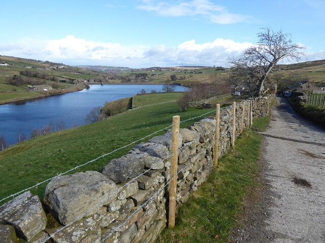
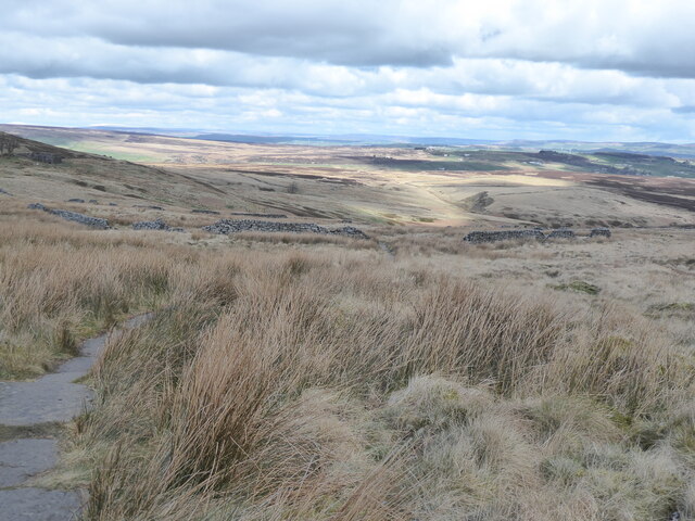
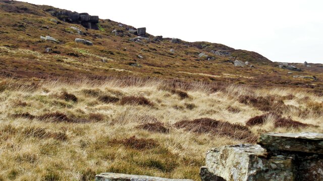
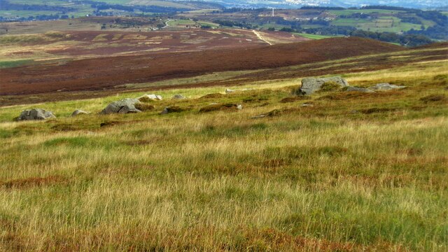
Stretching for approximately 2 miles, Blue Scar Clough is a popular destination for nature enthusiasts and hikers alike. The valley is traversed by a meandering river, which adds to its beauty with its crystal-clear waters cascading over small waterfalls. The surrounding landscape is characterized by lush greenery, dotted with wildflowers and native wildlife, providing a haven for various bird species and small mammals.
For those looking to explore the clough, there are several walking trails available, catering to different levels of difficulty. These trails offer opportunities to witness the valley's beauty up close, with viewpoints that showcase the dramatic cliffs and the river winding through the landscape. Additionally, the area is home to a diverse range of plant species, including rare ferns and mosses, making it an ideal spot for botany enthusiasts.
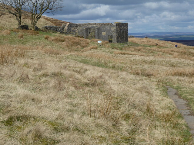
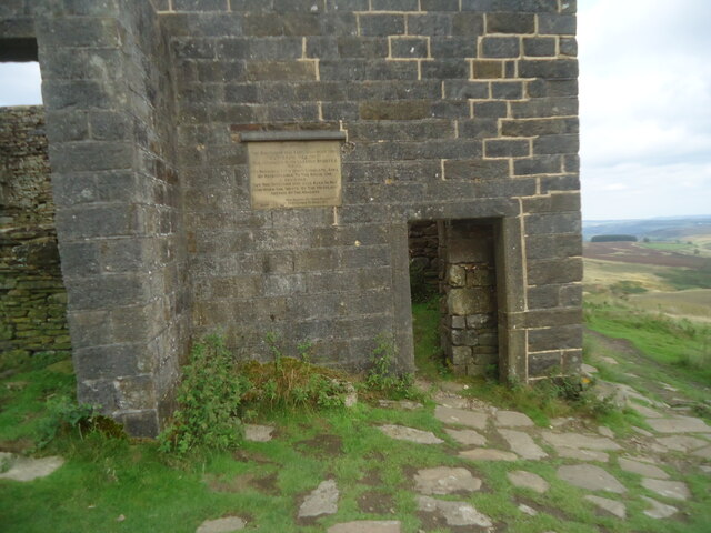
Blue Scar Clough is not only a natural wonder but also holds historical significance. The area is dotted with remnants of ancient settlements, including stone circles and burial mounds, providing a glimpse into the lives of its early inhabitants.
In summary, Blue Scar Clough in Yorkshire is a breathtaking valley renowned for its striking blue limestone cliffs, scenic landscape, and rich biodiversity. Whether you are seeking outdoor adventures or simply a peaceful retreat in nature, this enchanting location offers a truly unforgettable experience.
If you have any feedback on the listing, please let us know in the comments section below.
Blue Scar Clough Images
Images are sourced within 2km of 53.818706/-2.038392 or Grid Reference SD9735. Thanks to Geograph Open Source API. All images are credited.


Blue Scar Clough is located at Grid Ref: SD9735 (Lat: 53.818706, Lng: -2.038392)
Division: West Riding
Unitary Authority: Bradford
Police Authority: West Yorkshire
What 3 Words
///pebble.sands.cleanest. Near Oxenhope, West Yorkshire
Nearby Locations
Related Wikis

Top Withens
Top Withens (SD981353) (also known as Top Withins) is a ruined farmhouse near Haworth, West Yorkshire, England, which is said to have been the inspiration...

Ponden Hall
Ponden Hall is a farmhouse near Stanbury in West Yorkshire, England. It is famous for reputedly being the inspiration for Thrushcross Grange, the home...

Ponden Reservoir
Ponden Reservoir is an artificial upland lake in the Worth Valley, near Stanbury, West Yorkshire, England. Ponden was built as a compensation reservoir...

Walshaw Dean Reservoirs
Walshaw Dean Reservoirs are three reservoirs situated above Hebden Bridge, West Yorkshire, England. They are between Hebden Bridge and Top Withins, a ruined...

Watersheddles Reservoir
Watersheddles Reservoir is an upland artificial lake in Lancashire, England. The reservoir was opened in 1877 by the Keighley Corporation Water Works,...

Scar Top
Scar Top is a farming hamlet near the tourist village of Haworth in the City of Bradford metropolitan borough, West Yorkshire in England. It is in the...

Stanbury
Stanbury is a village and former civil parish, now in the parish of Haworth and Stanbury, in the metropolitan borough of the City of Bradford in West Yorkshire...
Oldfield, West Yorkshire
Oldfield is a small hamlet within the county of West Yorkshire, England, situated north of Stanbury and near to Oakworth. It is approximately 6 miles...
Nearby Amenities
Located within 500m of 53.818706,-2.038392Have you been to Blue Scar Clough?
Leave your review of Blue Scar Clough below (or comments, questions and feedback).