Pipers Clough

Valley in Cheshire

England

Pipers Clough

Sam Redfern Green 
A notice, now partly obscured by the growing weeds, reads:

"Tameside is in National Lockdown
Please do not meet with people you do not live with inside or outside"

As we are no longer officially in lockdown the notice is probably outdated but I doubt it will be removed quickly.
Sam Redfern Green Credit: Gerald England

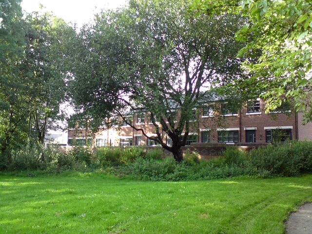
Pipers Clough, located in Cheshire, England, is a picturesque valley nestled amidst the rolling countryside. This idyllic location offers residents and visitors alike a tranquil retreat from the hustle and bustle of city life. The valley is known for its natural beauty, with lush greenery, meandering streams, and an abundance of wildlife.

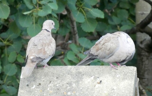
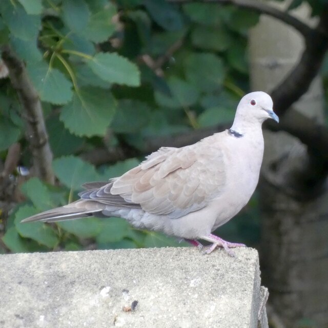
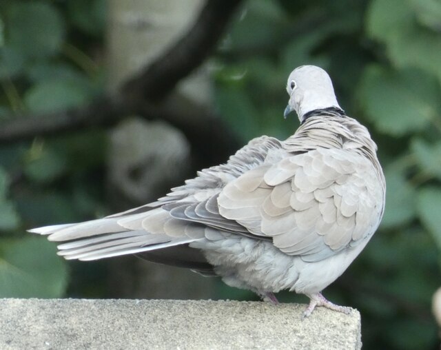
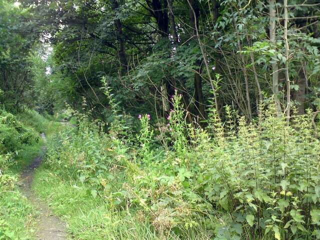
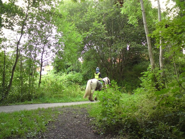
Pipers Clough is a popular spot for outdoor enthusiasts, offering numerous walking trails and hiking routes that allow visitors to explore the area's stunning landscape. The valley is also home to various species of birds, making it a haven for birdwatchers and nature lovers.

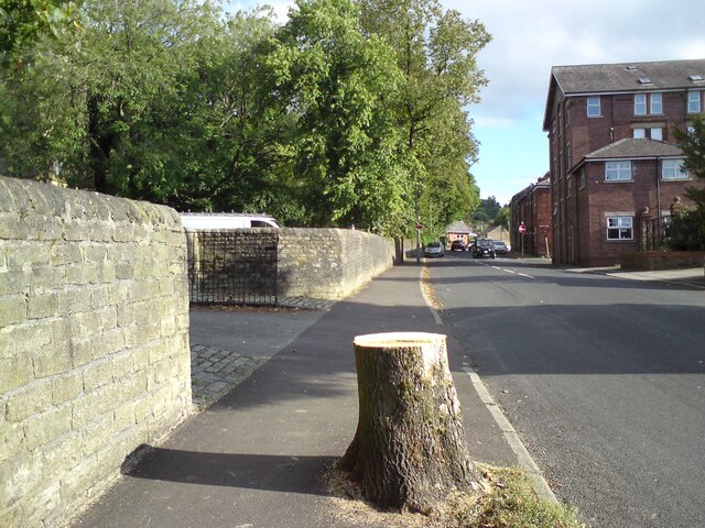
The surrounding area of Pipers Clough is dotted with charming villages and historic landmarks, providing ample opportunities for cultural exploration. Nearby attractions include the picturesque village of Hale, renowned for its thatched cottages, and the fascinating Tudor manor house, Little Moreton Hall.

In addition to its natural beauty, Pipers Clough boasts a strong sense of community. The valley is home to a tight-knit group of residents who actively participate in local events and initiatives. The community organizes regular festivals and gatherings, fostering a warm and welcoming atmosphere.

Overall, Pipers Clough offers a peaceful and serene setting for those seeking an escape to nature. With its breathtaking scenery, outdoor recreational activities, and vibrant community spirit, this Cheshire valley is a true hidden gem.

If you have any feedback on the listing, please let us know in the comments section below.

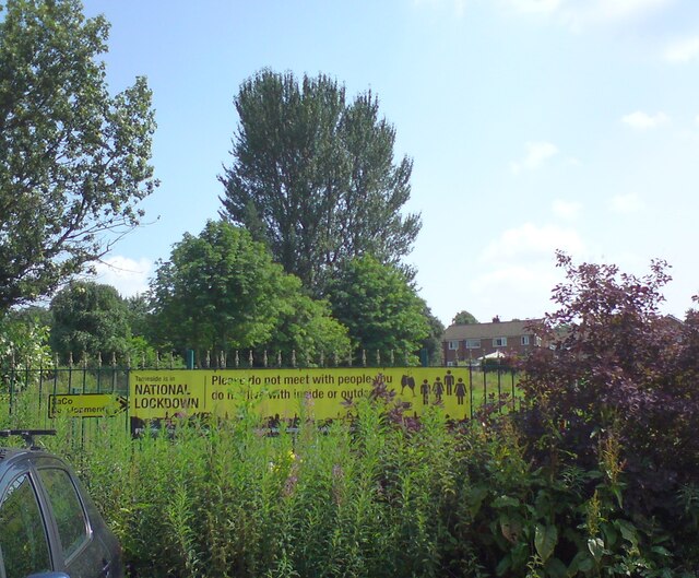
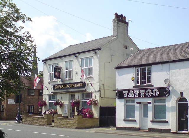
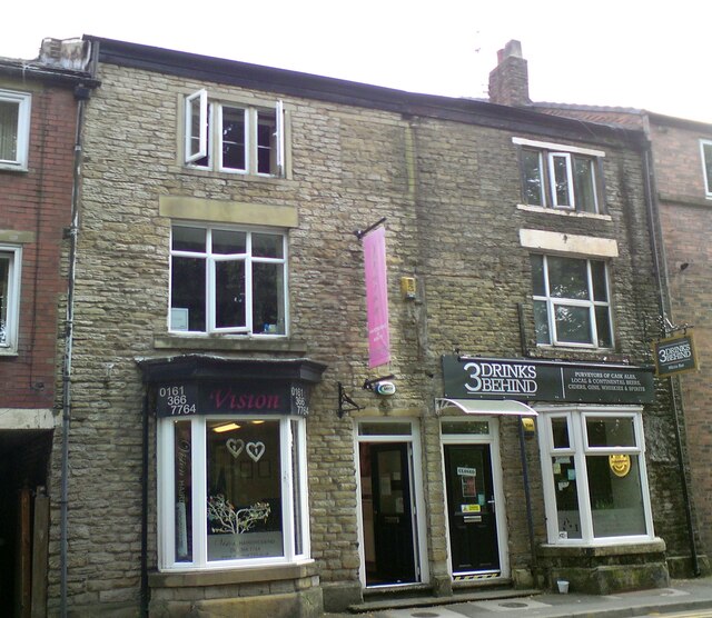
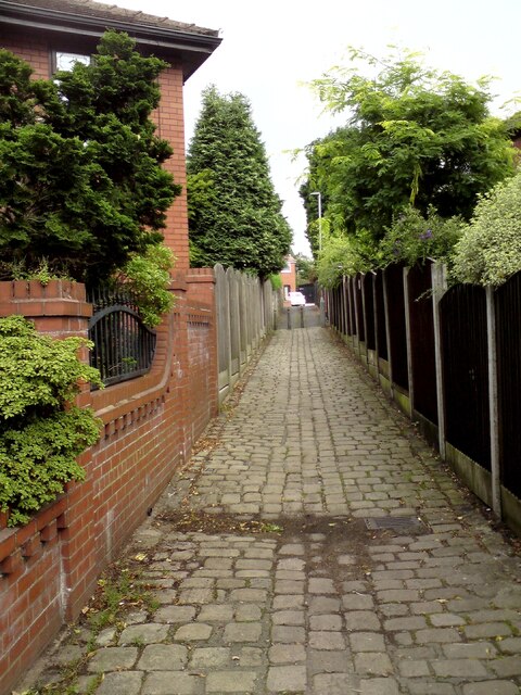
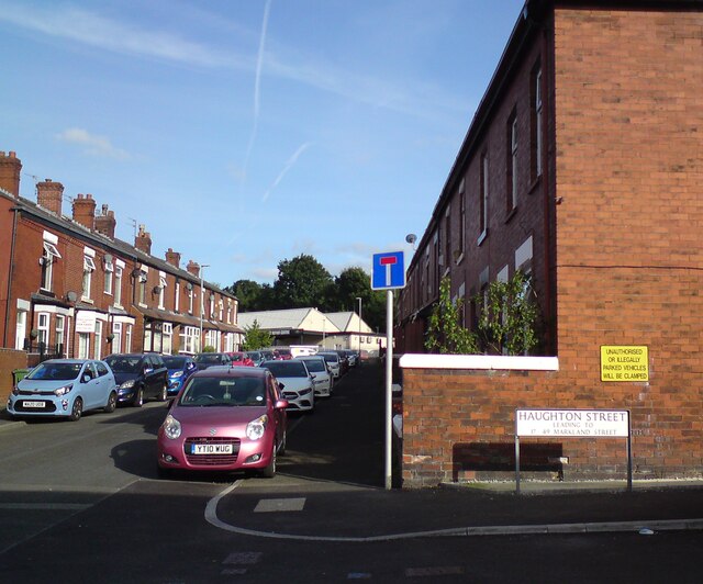
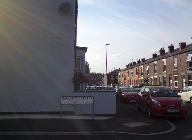
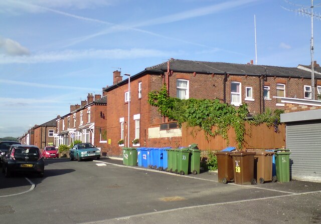
Pipers Clough Images

Images are sourced within 2km of 53.43744/-2.04938 or Grid Reference SJ9693. Thanks to Geograph Open Source API. All images are credited.

Sam Redfern Green 
A notice, now partly obscured by the growing weeds, reads:

"Tameside is in National Lockdown
Please do not meet with people you do not live with inside or outside"

As we are no longer officially in lockdown the notice is probably outdated but I doubt it will be removed quickly.
Sam Redfern Green
A notice, now partly obscured by the growing weeds, reads: "Tameside is in National Lockdown Please do not meet with people you do not live with inside or outside" As we are no longer officially in lockdown the notice is probably outdated but I doubt it will be removed quickly.
The Queen Adelaide and Tattoo 
 The Queen Adelaide is named after the wife of William IV who came to the throne in 1831. The Queen was one of the benefactors of St George's Church. Before the pub was built around 1830 the site was occupied by a small factory making shuttles and picks for the local cotton factories. Its first landlord was Orlando Oldham who also ran a large cork factory in Gee Cross.

The tattoo parlour next to the Queen Adelaide was previously the Double D Cafe <a href="https://www.geograph.org.uk/photo/4486933">SJ9593 : The Queen Adelaide & Double D's Café</a>. The cafe has moved further up the road <a href="https://www.geograph.org.uk/photo/6845964">SJ9593 : Eateries in Gee Cross</a>.
The Queen Adelaide and Tattoo
The Queen Adelaide is named after the wife of William IV who came to the throne in 1831. The Queen was one of the benefactors of St George's Church. Before the pub was built around 1830 the site was occupied by a small factory making shuttles and picks for the local cotton factories. Its first landlord was Orlando Oldham who also ran a large cork factory in Gee Cross. The tattoo parlour next to the Queen Adelaide was previously the Double D Cafe SJ9593 : The Queen Adelaide & Double D's Café. The cafe has moved further up the road SJ9593 : Eateries in Gee Cross.
Vision and 3 Drinks Behind Two adjacent shops on Stockport Road, Gee Cross. Both shops were empty in 2011  <a href="https://www.geograph.org.uk/photo/2500679">SJ9593 : Closed shops at Gee Cross</a> 

During the 1960s the left hand shop had been Jolly & Hollingworths ironmongers and more recently a pharmacy. Now it is Vision hairdressing.

The right hand shop used to be Bennett's bakers in 1960s. It was a butchers in the 1990s and later a sandwich shop. For some years the bay window was boarded up and the base transformed into a flower bed with plants climbing up a trellis. In 2016 it was home to On The Move a sales, letting and property management company <a href="https://www.geograph.org.uk/photo/5041235">SJ9593 : Two shops on Stockport Road</a>. A year later they moved to larger premises next door and Village Wines <a href="https://www.geograph.org.uk/photo/5632402">SJ9593 : Two shops on Stockport Road</a> opened in the vacated shop. only to close after a month <a href="https://www.geograph.org.uk/photo/5750146">SJ9593 : Two shops on Stockport Road</a>. A microbar was opened 27th June 2019 known as Jake's of Gee Cross <a href="https://www.geograph.org.uk/photo/6214557">SJ9593 : Jake's of Gee Cross Micro Bar</a> by the couple who owned & ran Jake’s Ale House in Romiley. It reopened 17th May 2021 as 3 Drinks Behind having been bought out by four locals with time on their hands during lockdown. It is now run and managed by Matthew Warburton (previously of Uppermill Conservative Club) on their behalf.  <span class="nowrap"><a title="https://whatpub.com/pubs/HIP/807/3-drinks-behind-hyde" rel="nofollow ugc noopener" href="https://whatpub.com/pubs/HIP/807/3-drinks-behind-hyde">Link</a><img style="margin-left:2px;" alt="External link" title="External link - shift click to open in new window" src="https://s1.geograph.org.uk/img/external.png" width="10" height="10"/></span>
Vision and 3 Drinks Behind
Two adjacent shops on Stockport Road, Gee Cross. Both shops were empty in 2011 SJ9593 : Closed shops at Gee Cross During the 1960s the left hand shop had been Jolly & Hollingworths ironmongers and more recently a pharmacy. Now it is Vision hairdressing. The right hand shop used to be Bennett's bakers in 1960s. It was a butchers in the 1990s and later a sandwich shop. For some years the bay window was boarded up and the base transformed into a flower bed with plants climbing up a trellis. In 2016 it was home to On The Move a sales, letting and property management company SJ9593 : Two shops on Stockport Road. A year later they moved to larger premises next door and Village Wines SJ9593 : Two shops on Stockport Road opened in the vacated shop. only to close after a month SJ9593 : Two shops on Stockport Road. A microbar was opened 27th June 2019 known as Jake's of Gee Cross SJ9593 : Jake's of Gee Cross Micro Bar by the couple who owned & ran Jake’s Ale House in Romiley. It reopened 17th May 2021 as 3 Drinks Behind having been bought out by four locals with time on their hands during lockdown. It is now run and managed by Matthew Warburton (previously of Uppermill Conservative Club) on their behalf. LinkExternal link
Collared doves (Streptopelia decaocto) A pair that nest in nearby Gower Hey Wood.

Discover Wildlife: <span class="nowrap"><a title="https://www.discoverwildlife.com/animal-facts/birds/facts-about-collared-dove/" rel="nofollow ugc noopener" href="https://www.discoverwildlife.com/animal-facts/birds/facts-about-collared-dove/">Link</a><img style="margin-left:2px;" alt="External link" title="External link - shift click to open in new window" src="https://s1.geograph.org.uk/img/external.png" width="10" height="10"/></span>
Collared doves (Streptopelia decaocto)
A pair that nest in nearby Gower Hey Wood. Discover Wildlife: LinkExternal link
Collared dove (Streptopelia decaocto) One of a pair that nest in nearby Gower Hey Wood.

Discover Wildlife: <span class="nowrap"><a title="https://www.discoverwildlife.com/animal-facts/birds/facts-about-collared-dove/" rel="nofollow ugc noopener" href="https://www.discoverwildlife.com/animal-facts/birds/facts-about-collared-dove/">Link</a><img style="margin-left:2px;" alt="External link" title="External link - shift click to open in new window" src="https://s1.geograph.org.uk/img/external.png" width="10" height="10"/></span>
Collared dove (Streptopelia decaocto)
One of a pair that nest in nearby Gower Hey Wood. Discover Wildlife: LinkExternal link
Nettles on the TransPennine Trail The TransPennine Trail mostly follows the line of the former Godley to Apethorn Railway. Here the main line tracks to the south side of a clump of trees near Swains Valley. The north side is a path for horse riders but in recent years it has became a barely usable quagmire. Now abundant nettles are spreading across.
Nettles on the TransPennine Trail
The TransPennine Trail mostly follows the line of the former Godley to Apethorn Railway. Here the main line tracks to the south side of a clump of trees near Swains Valley. The north side is a path for horse riders but in recent years it has became a barely usable quagmire. Now abundant nettles are spreading across.
Horse rider on the TransPennine Trail 
The TransPennine Trail follows the line of the former Godley to Apethorn railway. For much of its length there is a metalled path for cyclists and walkers and a separate bridleway alongside. Much of the bridleway is now an unusable quagmire so riders are having to make use of the cycleway.
Horse rider on the TransPennine Trail
The TransPennine Trail follows the line of the former Godley to Apethorn railway. For much of its length there is a metalled path for cyclists and walkers and a separate bridleway alongside. Much of the bridleway is now an unusable quagmire so riders are having to make use of the cycleway.
Footpath to Marlborough Road From the bus stop on Dowson Road.
Footpath to Marlborough Road
From the bus stop on Dowson Road.
SE corner of Green Street and Haughton Street 
The Haughton Street signs reads "leading to 17-49 Markland Street" which is the unadopted road by Swain's Valley consisting of old terraced properties.
SE corner of Green Street and Haughton Street
The Haughton Street signs reads "leading to 17-49 Markland Street" which is the unadopted road by Swain's Valley consisting of old terraced properties.
SW corner of Green Street and Haughton Street 
The Haughton Street signs reads "leading to 5-15A Markland Street" which are recently constructed houses facing Swain's Valley.
SW corner of Green Street and Haughton Street
The Haughton Street signs reads "leading to 5-15A Markland Street" which are recently constructed houses facing Swain's Valley.
Wheelie bins on Haughton Street 
Some of these will belong to the houses on Green Street and others to the houses on Markland Street.
Wheelie bins on Haughton Street
Some of these will belong to the houses on Green Street and others to the houses on Markland Street.
5-15A Markland Street Newly built housing facing Swains Valley. The area around the big tree in the middle was cleared prior to construction but nature is now reclaiming it.
5-15A Markland Street
Newly built housing facing Swains Valley. The area around the big tree in the middle was cleared prior to construction but nature is now reclaiming it.
Mass Vaccination Site (Tameside) As we approach the second winter of this Coronavirus era people are being given injections for Flu and Covid-19 at this Tameside vaccination site. This area was formerly the car park for British Gas who have moved to Stockport from this site on Hattersley Industrial Estate.
Mass Vaccination Site (Tameside)
As we approach the second winter of this Coronavirus era people are being given injections for Flu and Covid-19 at this Tameside vaccination site. This area was formerly the car park for British Gas who have moved to Stockport from this site on Hattersley Industrial Estate.
Hyde Cenotaph Hyde War Memorial remembers the people who gave their lives for our country. This photograph was taken on Remembrance Say 2021.
Hyde Cenotaph
Hyde War Memorial remembers the people who gave their lives for our country. This photograph was taken on Remembrance Say 2021.
Tree-stump on Knott Lane 
One of the mature trees on Knott Lane near the entrance to Hyde Chapel has been felled leaving just a stump.
Tree-stump on Knott Lane
One of the mature trees on Knott Lane near the entrance to Hyde Chapel has been felled leaving just a stump.
Shell on Dowson Road At the Shell filling station on Dowson Road petrol is now 139.9 pence per litre and diesel is 142.9 pence per litre. This is an increase of 23p and 24p since December <a href="https://www.geograph.org.uk/photo/6714825">SJ9594 : Christmas Day on Dowson Road</a>.
Shell on Dowson Road
At the Shell filling station on Dowson Road petrol is now 139.9 pence per litre and diesel is 142.9 pence per litre. This is an increase of 23p and 24p since December SJ9594 : Christmas Day on Dowson Road.
Diverted traffic I assume the sign is expecting diverted traffic to turn immediately right into the side street just ahead (Thornley Street) rather than right at the traffic lights on to Market Street.
Diverted traffic
I assume the sign is expecting diverted traffic to turn immediately right into the side street just ahead (Thornley Street) rather than right at the traffic lights on to Market Street.
Show me another place!

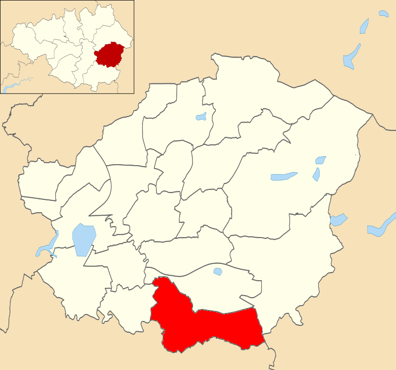
Pipers Clough is located at Grid Ref: SJ9693 (Lat: 53.43744, Lng: -2.04938)

Unitary Authority: Tameside

Police Authority: Greater Manchester

What 3 Words

///gently.calls.relate. Near Hyde, Manchester

Related Wikis

Werneth Low

Werneth Low (; WUR-nəth) is a hill in Greater Manchester, England, and a part of the Pennines. It is located on the borders of Stockport and Tameside...

Alder Community High School

Alder Community High School is a state funded secondary school in Hyde, Greater Manchester, England. The School was built under the Private Funding Initiative...

Hyde Werneth (ward)

Hyde Werneth is an electoral ward of Tameside, England. It is represented in Westminster by Jonathan Reynolds Labour Co-operative MP for Stalybridge and...

Backbower

Backbower is an area in Tameside, England.

Hattersley railway station

Hattersley railway station serves the Hattersley housing estate in Tameside, Greater Manchester, England. The station is 9 miles (14 km) east of Manchester...

Gee Cross

Gee Cross is a village and suburb of Hyde within Tameside Metropolitan Borough, in Greater Manchester, England. == History == Gee Cross village centre...

Godley East railway station

Godley East was a railway station in the Godley area of Hyde, Tameside, Greater Manchester, on the Woodhead Line. == Early history == On 17 November 1841...

Hyde Godley (ward)

Hyde Godley is an electoral ward of Tameside, England. It is represented in Westminster by Jonathan Reynolds Labour Co-operative MP for Stalybridge and...

Nearby Amenities

Located within 500m of 53.43744,-2.04938
Barrier: stile
Lat/Long: 53.4355582/-2.0476893
Bus Stop
Mottram Old Road/Green Lane
Bus: yes
Naptan AtcoCode: 1800EH37051
Naptan Bearing: E
Naptan CommonName: Mottram Old Road/Green Lane
Naptan Indicator: Nr Open Land
Naptan Landmark: NR OPEN LAND
Naptan NaptanCode: mandawpd
Naptan PlusbusZoneRef: MNCRPIC
Naptan ShortCommonName: Green Lane
Naptan Street: Mottram Old Road
Naptan Verified: no
Network: TfGM
Public Transport: platform
Source: naptan_import
Lat/Long: 53.4402897/-2.0526603
Bus Stop
Mottram Old Road/Green Lane
Bus: yes
Naptan AtcoCode: 1800EH37061
Naptan Bearing: W
Naptan CommonName: Mottram Old Road/Green Lane
Naptan Indicator: Nr House 222
Naptan Landmark: HOUSE 222
Naptan NaptanCode: mandawpg
Naptan PlusbusZoneRef: MNCRPIC
Naptan ShortCommonName: Green Lane
Naptan Street: Mottram Old Road
Naptan Verified: no
Network: TfGM
Public Transport: platform
Source: naptan_import
Lat/Long: 53.4401908/-2.0526451
Bus Stop
Mottram Old Road
Bus: yes
Naptan AtcoCode: 1800EH37071
Naptan Bearing: E
Naptan CommonName: Mottram Old Road
Naptan Indicator: Nr Grass Land
Naptan Landmark: NR GRASS LAND
Naptan NaptanCode: mandawpj
Naptan PlusbusZoneRef: MNCRPIC
Naptan ShortCommonName: Mottram Old Road
Naptan Street: Mottram Old Road
Naptan Verified: no
Network: TfGM
Public Transport: platform
Source: naptan_import
Lat/Long: 53.4399321/-2.0480834
Bus Stop
Mottram Old Road/Sycamore Cottage
Bus: yes
Naptan AtcoCode: 1800EH37081
Naptan Bearing: W
Naptan CommonName: Mottram Old Road/Sycamore Cottage
Naptan Indicator: Nr Sycamore Cot
Naptan Landmark: NR SYCAMORE COT
Naptan NaptanCode: mandawpm
Naptan PlusbusZoneRef: MNCRPIC
Naptan ShortCommonName: Sycamore Cottage
Naptan Street: Mottram Old Road
Naptan Verified: no
Network: TfGM
Public Transport: platform
Source: naptan_import
Lat/Long: 53.4397971/-2.0484295
Windy Harbour (Demolished Pub Site)
Tourism: viewpoint
Lat/Long: 53.4350162/-2.0451745
Tourism: viewpoint
Lat/Long: 53.4382715/-2.0549746
Hyde Cenotaph
Natural: peak
Lat/Long: 53.4383155/-2.0557541
Idle Hill
Natural: peak
Lat/Long: 53.4337393/-2.0480294
Man Made: tower
Tower Type: communication
Lat/Long: 53.433601/-2.0476783
Man Made: tower
Tower Type: communication
Lat/Long: 53.4339423/-2.0479653
Barrier: block
Bicycle: yes
Foot: yes
Horse: yes
Motor Vehicle: no
Lat/Long: 53.4347901/-2.0454467
The data included in this document is from www.openstreetmap.org. The data is made available under ODbL.

Have you been to Pipers Clough?

Leave your review of Pipers Clough below (or comments, questions and feedback).