Blind Ditch Well Bottom
Valley in Wiltshire
England
Blind Ditch Well Bottom

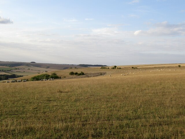
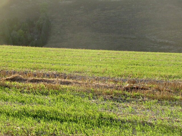
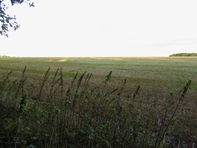
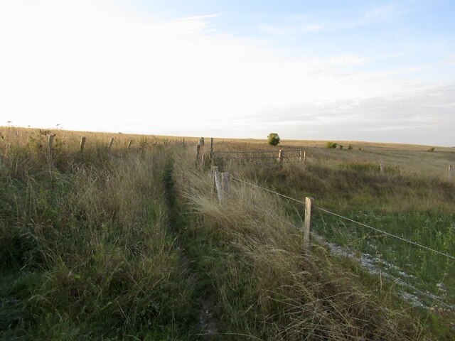
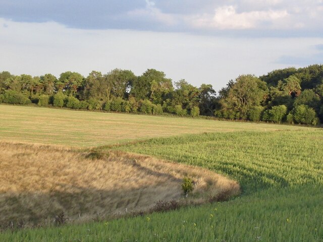
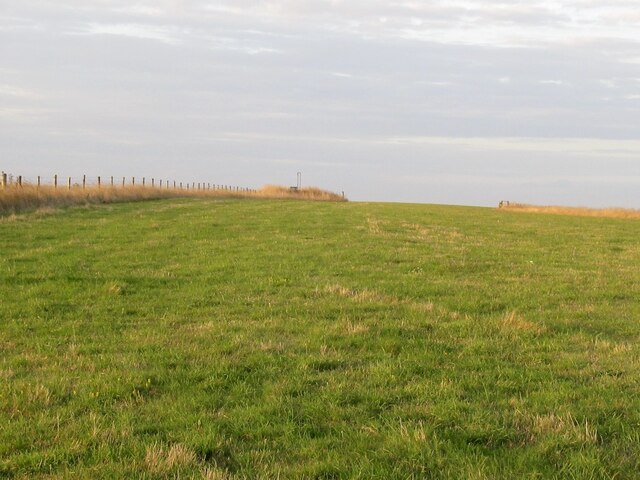
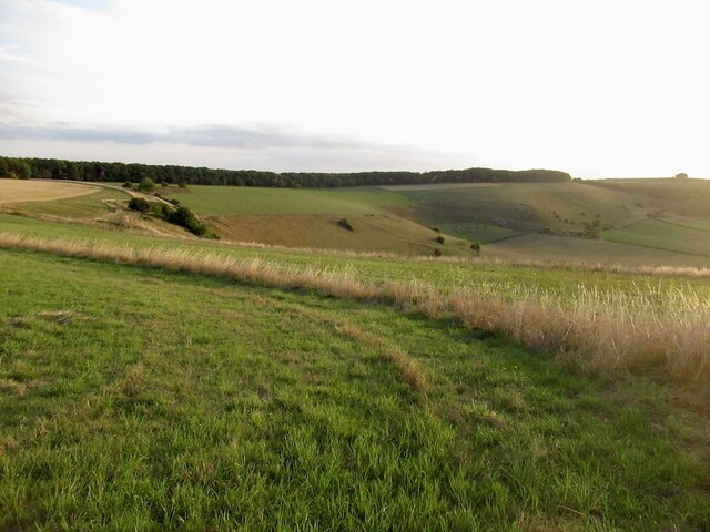
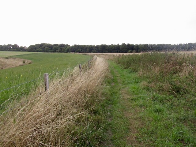
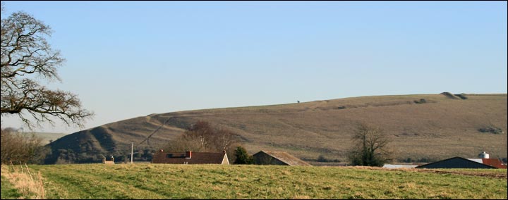
Blind Ditch Well Bottom is a picturesque valley located in Wiltshire, England. Nestled within the beautiful countryside, this valley offers stunning natural landscapes and historical significance.
The valley gets its peculiar name from a unique geological feature known as a "blind ditch." This refers to a type of drainage channel that does not have an outlet or visible water flow. Instead, water collects within the ditch, forming a small pool or well at the bottom. This natural phenomenon has attracted curiosity and fascination among locals and visitors alike.
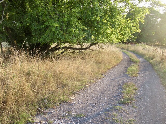
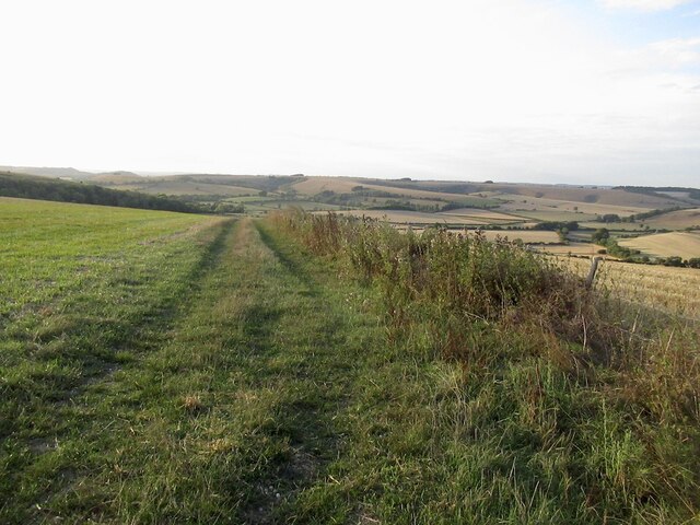
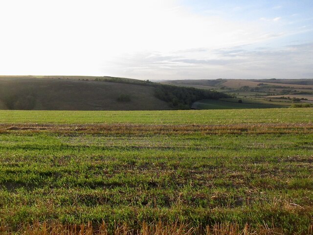
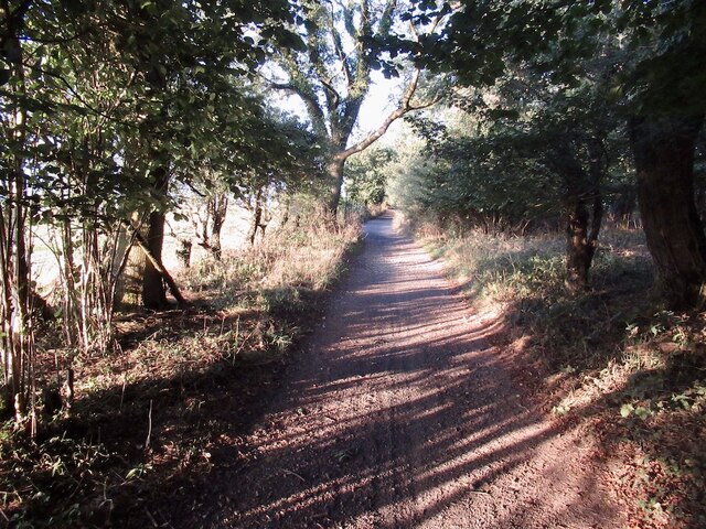
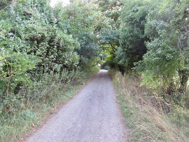
Surrounded by rolling hills and lush greenery, Blind Ditch Well Bottom provides a tranquil atmosphere for nature enthusiasts and hikers. The valley offers a variety of walking trails that meander through the countryside, allowing visitors to explore the scenic beauty at their own pace. The diverse flora and fauna found in the area make it an ideal spot for wildlife observation and photography.
Aside from its natural charm, Blind Ditch Well Bottom also holds historical significance. The valley is dotted with ancient archaeological sites, including burial mounds and earthworks, providing insights into the area's rich past. These remnants offer a glimpse into the lives and traditions of the ancient inhabitants who once called this valley home.
Blind Ditch Well Bottom is a hidden gem in Wiltshire, offering a peaceful retreat for those seeking natural beauty and a connection to the area's history. Whether it's a leisurely stroll or a deep dive into the valley's archaeological wonders, this serene location promises a memorable experience for all who visit.
If you have any feedback on the listing, please let us know in the comments section below.
Blind Ditch Well Bottom Images
Images are sourced within 2km of 50.983337/-2.0479712 or Grid Reference ST9620. Thanks to Geograph Open Source API. All images are credited.


Blind Ditch Well Bottom is located at Grid Ref: ST9620 (Lat: 50.983337, Lng: -2.0479712)
Unitary Authority: Wiltshire
Police Authority: Wiltshire
What 3 Words
///alas.guidebook.started. Near Bower Chalke, Wiltshire
Nearby Locations
Related Wikis

Pincombe Down
Pincombe Down (grid reference ST966217) is a 23.8 hectare biological Site of Special Scientific Interest in southwest Wiltshire, England, notified in 1971...
Winklebury Hill
Winkelbury Hill (grid reference ST952216) is a 62.95 hectare biological Site of Special Scientific Interest in Berwick St John parish, south-west Wiltshire...

Rotherley Down Settlement
Rotherley Down Settlement is an archaeological site of the late Iron Age and Romano-British period on Cranborne Chase, England. It is about 1.5 miles...
Rotherley Downs
Rotherley Downs (grid reference ST946196) is a 120.05 hectare biological Site of Special Scientific Interest in Wiltshire, England, notified in 1989. The...

Woodcutts Settlement
Woodcutts Settlement is an archaeological site of the late Iron Age and Romano-British period on Cranborne Chase, England. It is situated about 1 mile...

Sandroyd School
Sandroyd School is an independent co-educational preparatory school for day and boarding pupils aged 2 to 13 in the south of Wiltshire, England. The school...

Cranborne Chase
Cranborne Chase (grid reference ST970180) is an area of central southern England, straddling the counties Dorset, Hampshire and Wiltshire. It is part of...

Cranborne Chase and West Wiltshire Downs
Cranborne Chase and West Wiltshire Downs is an Area of Outstanding Natural Beauty (AONB) covering 379 square miles (980 km2) of Dorset, Hampshire, Somerset...
Nearby Amenities
Located within 500m of 50.983337,-2.0479712Have you been to Blind Ditch Well Bottom?
Leave your review of Blind Ditch Well Bottom below (or comments, questions and feedback).