Pottal Valley

Valley in Staffordshire South Staffordshire

England

Pottal Valley

Timber stacks The results of recent tree cutting.
Timber stacks Credit: Ian Calderwood

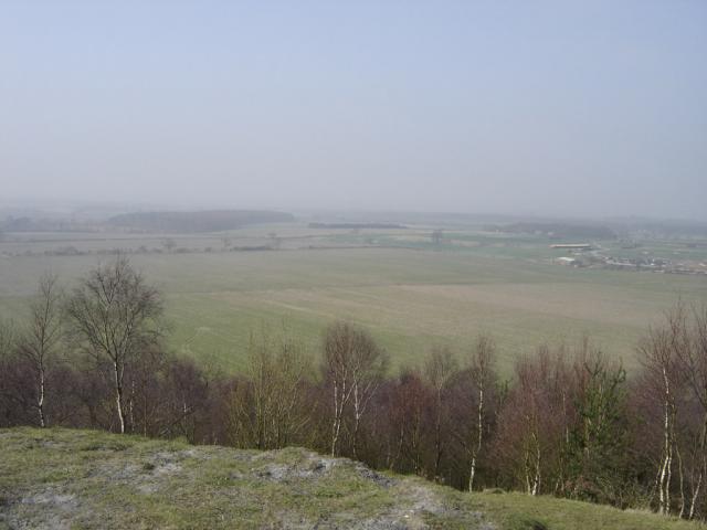
Pottal Valley is a picturesque region located in the county of Staffordshire, England. Situated within the larger Trent Valley, it is nestled between the towns of Stone and Stafford. The valley is characterized by its scenic beauty, with rolling hills, lush green fields, and meandering streams that add to its charm.

The area is known for its rich history, dating back to the Roman times when it was an important trading route. It is believed that the name "Pottal" derives from the Old English word for "potter's valley," indicating a history of pottery production in the region. This heritage is still celebrated today, with several pottery workshops and studios offering visitors the opportunity to witness the traditional craft.

The valley offers a range of outdoor activities for nature enthusiasts. There are numerous walking and cycling trails that wind through the countryside, providing breathtaking views and opportunities to spot wildlife. The Pottal Valley Nature Reserve is a popular destination, home to a diverse range of flora and fauna, including rare bird species.

In addition to its natural beauty, Pottal Valley is also home to several charming villages and historic landmarks. The nearby village of Barlaston is particularly notable for its stunning Barlaston Hall, a Grade I listed mansion that showcases exemplary Georgian architecture.

Overall, Pottal Valley is a tranquil and idyllic location that offers a perfect blend of natural beauty, historical significance, and recreational opportunities. Whether it's exploring the countryside, immersing oneself in the local heritage, or simply enjoying the peaceful atmosphere, this Staffordshire gem has something to offer for everyone.

If you have any feedback on the listing, please let us know in the comments section below.

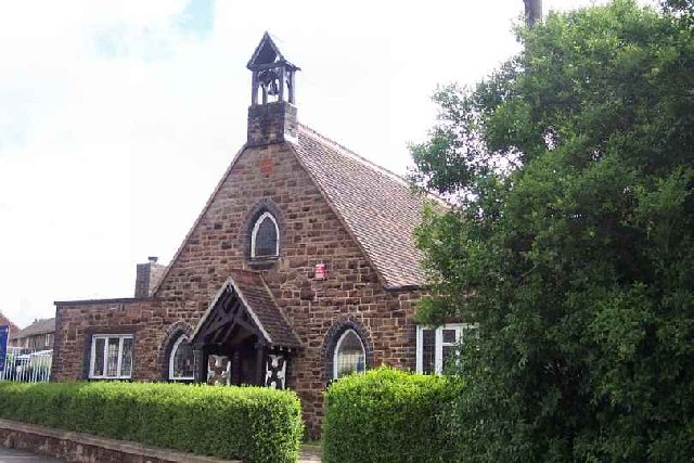
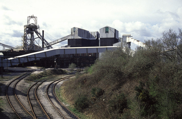
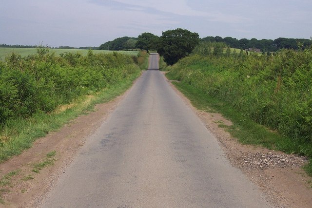
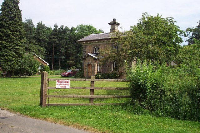
Pottal Valley Images

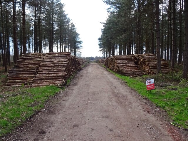
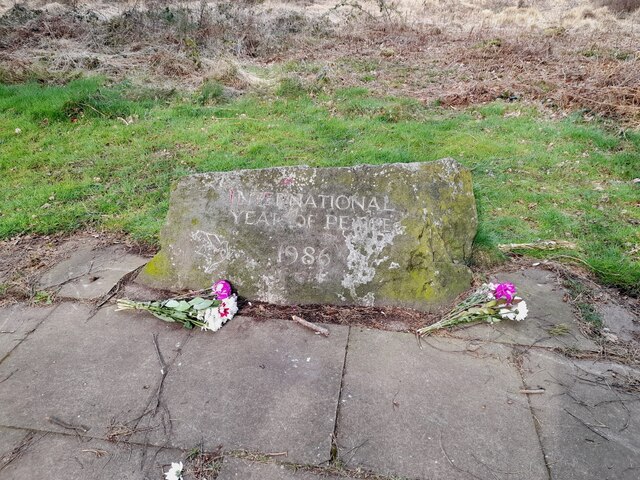
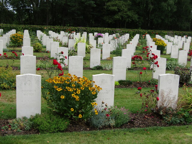
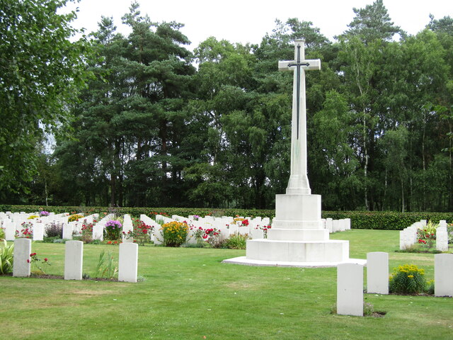
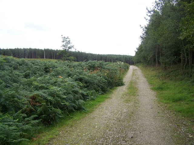
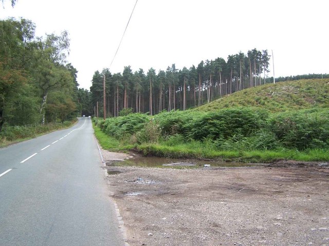
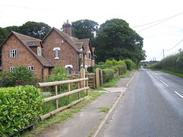
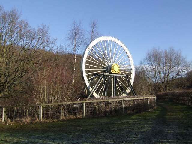
Images are sourced within 2km of 52.730603/-2.0518756 or Grid Reference SJ9614. Thanks to Geograph Open Source API. All images are credited.

Timber stacks The results of recent tree cutting.
Timber stacks
The results of recent tree cutting.
Peace stone This stone, inscribed "INTERNATIONAL YEAR OF PEACE 1986", sits on the edge of an area called "The Peace Vista", between the Commonwealth and German war cemeteries.
Peace stone
This stone, inscribed "INTERNATIONAL YEAR OF PEACE 1986", sits on the edge of an area called "The Peace Vista", between the Commonwealth and German war cemeteries.
Cannock Chase - Military Cemetery This small but poignant WW1 War Cemetery contains 100 Commonwealth graves, mostly New Zealanders, but also 280 Germans - many of whom died from the 1919 Spanish Flu epidemic.
<span class="nowrap"><a title="www.cwgc.org" rel="nofollow ugc noopener" href="http://www.cwgc.org">Link</a><img style="margin-left:2px;" alt="External link" title="External link - shift click to open in new window" src="https://s1.geograph.org.uk/img/external.png" width="10" height="10"/></span>
Cannock Chase - Military Cemetery
This small but poignant WW1 War Cemetery contains 100 Commonwealth graves, mostly New Zealanders, but also 280 Germans - many of whom died from the 1919 Spanish Flu epidemic. LinkExternal link
Cannock Chase - Commonwealth War Cemetery This small but poignant WW1 War Cemetery contains 100 Commonwealth graves, mostly New Zealanders, but also 280 Germans - many of whom died from the 1919 Spanish Flu epidemic.
<span class="nowrap"><a title="www.cwgc.org" rel="nofollow ugc noopener" href="http://www.cwgc.org">Link</a><img style="margin-left:2px;" alt="External link" title="External link - shift click to open in new window" src="https://s1.geograph.org.uk/img/external.png" width="10" height="10"/></span>
Cannock Chase - Commonwealth War Cemetery
This small but poignant WW1 War Cemetery contains 100 Commonwealth graves, mostly New Zealanders, but also 280 Germans - many of whom died from the 1919 Spanish Flu epidemic. LinkExternal link
Cannock Chase -War Cemetery This small but poignant WW1 War Cemetery contains 100 Commonwealth graves, mostly New Zealanders, but also 280 Germans - many of whom died from the 1919 Spanish Flu epidemic.
<span class="nowrap"><a title="www.cwgc.org" rel="nofollow ugc noopener" href="http://www.cwgc.org">Link</a><img style="margin-left:2px;" alt="External link" title="External link - shift click to open in new window" src="https://s1.geograph.org.uk/img/external.png" width="10" height="10"/></span>
Cannock Chase -War Cemetery
This small but poignant WW1 War Cemetery contains 100 Commonwealth graves, mostly New Zealanders, but also 280 Germans - many of whom died from the 1919 Spanish Flu epidemic. LinkExternal link
Cannock Chase - War Cemetery This small but poignant WW1 War Cemetery contains 100 Commonwealth graves, mostly New Zealanders, but also 280 Germans - many of whom died from the 1919 Spanish Flu epidemic.
<span class="nowrap"><a title="www.cwgc.org" rel="nofollow ugc noopener" href="http://www.cwgc.org">Link</a><img style="margin-left:2px;" alt="External link" title="External link - shift click to open in new window" src="https://s1.geograph.org.uk/img/external.png" width="10" height="10"/></span>
Cannock Chase - War Cemetery
This small but poignant WW1 War Cemetery contains 100 Commonwealth graves, mostly New Zealanders, but also 280 Germans - many of whom died from the 1919 Spanish Flu epidemic. LinkExternal link
Shed close to line of bridleway The small building was come upon in the search for the public bridleway leaving Broadhurst Green Road in its vicinity. The grassy way appears to be the correct route but soon the way is lost in a tangle of vegetation. Another gate nearby along the road has a very thin trace of path beginning which also seems to get lost in excess herbage. A different, much less attractive option to continue walking had to be used!
(Note: there's no doubt that the bridleway route does exist beginning in that location; it's named as Huntington 7 on the Staffordshire CC definitive map!)
Shed close to line of bridleway
The small building was come upon in the search for the public bridleway leaving Broadhurst Green Road in its vicinity. The grassy way appears to be the correct route but soon the way is lost in a tangle of vegetation. Another gate nearby along the road has a very thin trace of path beginning which also seems to get lost in excess herbage. A different, much less attractive option to continue walking had to be used! (Note: there's no doubt that the bridleway route does exist beginning in that location; it's named as Huntington 7 on the Staffordshire CC definitive map!)
Huntington A new nature reserve has been created at the site of former Littleton colliery in the village of Huntington.
Huntington
A new nature reserve has been created at the site of former Littleton colliery in the village of Huntington.
St. Thomas, Huntington
Littleton Colliery Long gone. I think it was already closed then. I was actually looking for a waterworks beam engine house but that had been replaced by a little hut. The colliery was the booby prize and now it's a memory.
Littleton Colliery
Long gone. I think it was already closed then. I was actually looking for a waterworks beam engine house but that had been replaced by a little hut. The colliery was the booby prize and now it's a memory.
Mansty Lane
Mansty Lane
Keepers Lodge
Keepers Lodge
Badger's Hills, Cannock Chase
Cannock Chase near Pottal Pool
Road to Pottal Pool
Road to Pottal Pool
Footpath To Bangley Park
Newtown
Newtown
Coppice Farm & Buxtons A34 Buxtons Aborists Supplies at Coppice Farm
Bernard Buxton started Buxton’s over 40 years ago while still working as a farmer. He started out hiring and selling Dolmar chainsaws with Oregon chain, he soon became an agent for Stihl dealing with their first 3 models 08S, 07S and Lightning. He later became an agent for Husqvarna and Jonsered and the farmhouse became a shop and workshop with repairs carried out by Bernard and his father in law Frank Owen. 20 years later Bernard’s daughter, Lucy joined the firm.
Coppice Farm & Buxtons A34
Buxtons Aborists Supplies at Coppice Farm Bernard Buxton started Buxton’s over 40 years ago while still working as a farmer. He started out hiring and selling Dolmar chainsaws with Oregon chain, he soon became an agent for Stihl dealing with their first 3 models 08S, 07S and Lightning. He later became an agent for Husqvarna and Jonsered and the farmhouse became a shop and workshop with repairs carried out by Bernard and his father in law Frank Owen. 20 years later Bernard’s daughter, Lucy joined the firm.
Show me another place!

Pottal Valley is located at Grid Ref: SJ9614 (Lat: 52.730603, Lng: -2.0518756)

Administrative County: Staffordshire

District: South Staffordshire

Police Authority: Staffordshire

What 3 Words

///greed.stance.prompting. Near Penkridge, Staffordshire

Related Wikis

Huntington, Staffordshire

Huntington is a civil parish and former mining village in Staffordshire, on the outskirts of Cannock Chase. It lies on the A34 road just north of Cannock...
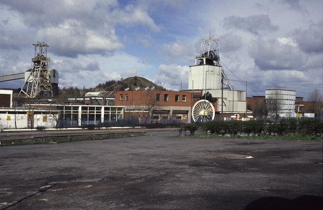
Littleton Colliery

Littleton Colliery was a deep coal mine situated two miles north of Cannock on the A34 in the village of Huntington. The colliery closed on 3 December...

Teddesley Hall

Teddesley Hall was a large Georgian English country house located close to Penkridge in Staffordshire, now demolished. It was the main seat firstly of...

Pye Green BT Tower

Pye Green BT Tower is a 96.9-metre (318 ft) tall telecommunication tower built of reinforced concrete at Pye Green, Staffordshire, England. Standing on...

Nearby Amenities

Located within 500m of 52.730603,-2.0518756
Bus Stop
Coppice Farm
Bus: yes
Naptan AtcoCode: 3800C621201
Naptan Bearing: N
Naptan CommonName: Coppice Farm
Naptan Indicator: Adj
Naptan Street: Cannock Road
Naptan Verified: no
Public Transport: platform
Source: naptan_import
Lat/Long: 52.7349104/-2.0499846
Barrier: yes
Lat/Long: 52.7334892/-2.0514544
Barrier: yes
Lat/Long: 52.7332503/-2.0516436
The data included in this document is from www.openstreetmap.org. The data is made available under ODbL.

Have you been to Pottal Valley?

Leave your review of Pottal Valley below (or comments, questions and feedback).