The Trough
Valley in Yorkshire
England
The Trough
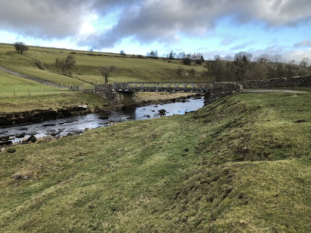
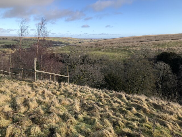
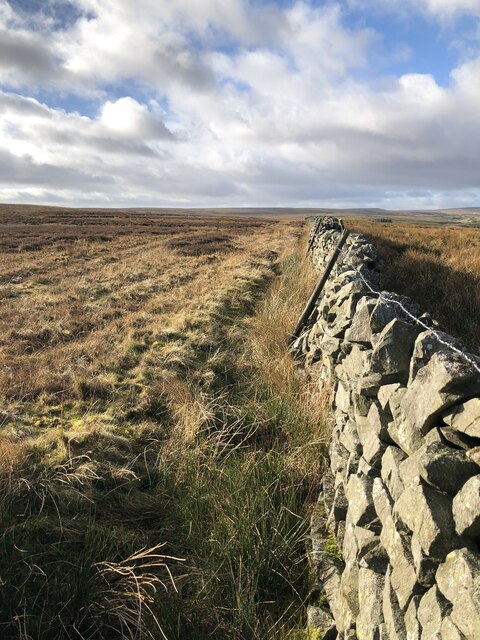
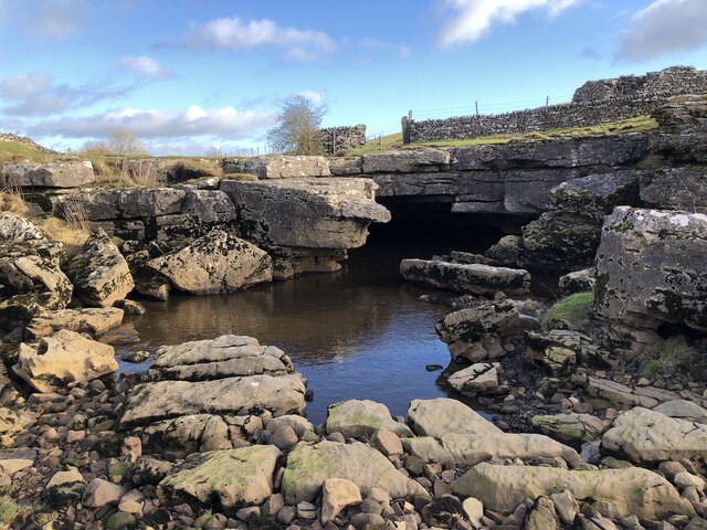
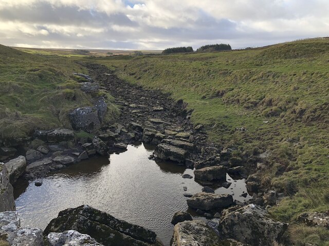
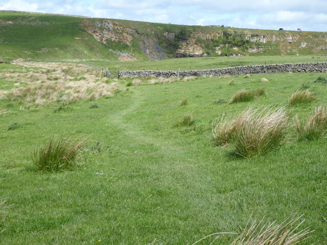
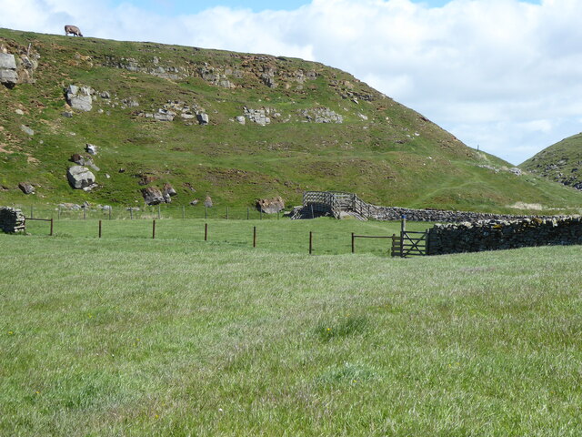
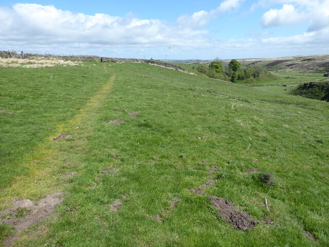
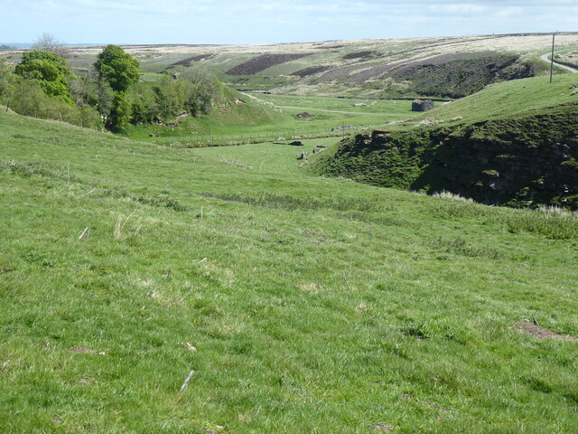
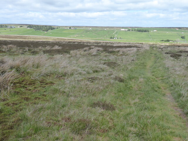
The Trough is a valley located in the Yorkshire Dales National Park in Northern England. It is known for its stunning natural beauty, with steep sides and a narrow, winding river running through the center. The valley is surrounded by rolling hills and lush greenery, creating a picturesque and peaceful setting for visitors to enjoy.
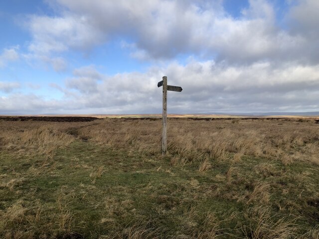
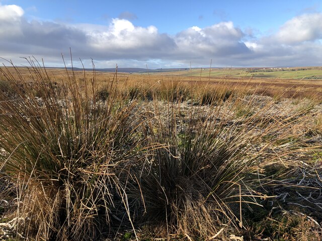
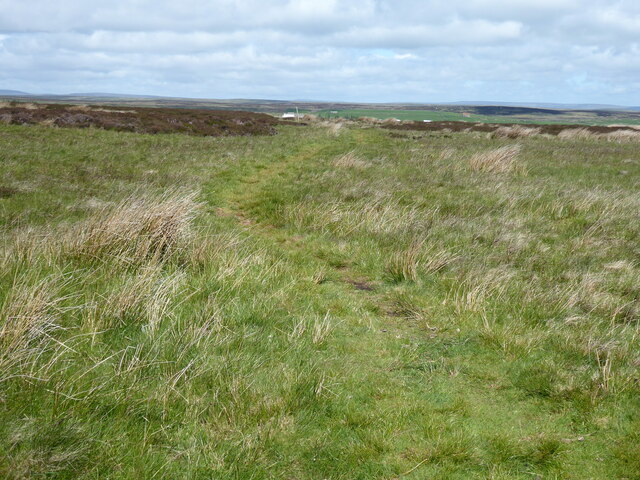
The Trough is a popular destination for hikers and nature enthusiasts, with numerous walking trails and scenic viewpoints to explore. The valley is home to a variety of wildlife, including birds, deer, and other native species, making it a great spot for birdwatching and wildlife observation.
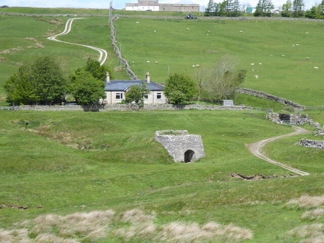
In addition to its natural beauty, The Trough also has a rich history, with evidence of ancient settlements and agricultural practices dating back centuries. Visitors can explore the remnants of old stone walls and buildings, providing a glimpse into the valley's past.
Overall, The Trough is a tranquil and picturesque destination in Yorkshire, offering visitors a chance to experience the beauty of the English countryside in a peaceful and serene setting.
If you have any feedback on the listing, please let us know in the comments section below.
The Trough Images
Images are sourced within 2km of 54.503091/-2.0545079 or Grid Reference NY9611. Thanks to Geograph Open Source API. All images are credited.


The Trough is located at Grid Ref: NY9611 (Lat: 54.503091, Lng: -2.0545079)
Division: North Riding
Unitary Authority: County Durham
Police Authority: Durham
What 3 Words
///eyepieces.awake.deflate. Near Bowes, Co. Durham
Nearby Locations
Related Wikis

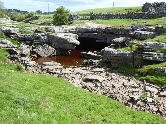
Sleightholme Beck Gorge – The Troughs
Sleightholme Beck Gorge – The Troughs is a Site of Special Scientific Interest in the County Durham district of south-west County Durham, England. The...
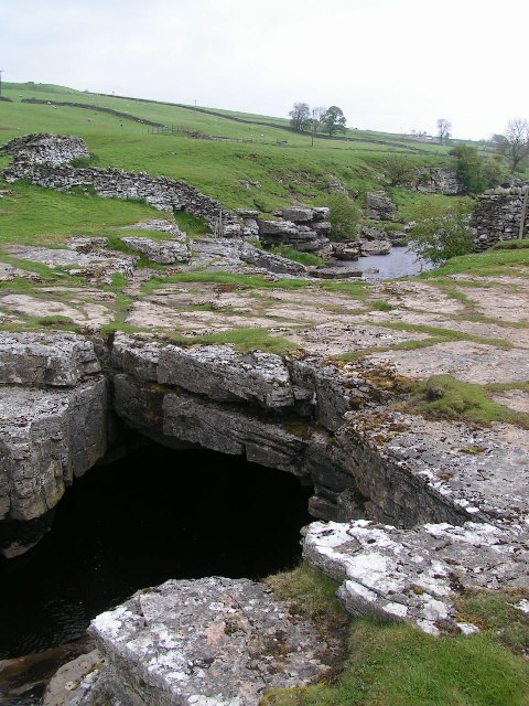
God's Bridge
God's Bridge is a Site of Special Scientific Interest in the County Durham district of south-west County Durham, England. It is a natural limestone bridge...

Sleightholme
Sleightholme is a secluded hamlet on a dead end road in County Durham, England. It lies beside Sleightholme Beck, a tributary of the River Greta. The...

RAF Bowes Moor
RAF Bowes Moor was a chemical warfare agent (CWA) storage site run by the Royal Air Force during and after the Second World War. The site was to the north...
Nearby Amenities
Located within 500m of 54.503091,-2.0545079Have you been to The Trough?
Leave your review of The Trough below (or comments, questions and feedback).