Barn Hill Clough
Valley in Lancashire Pendle
England
Barn Hill Clough
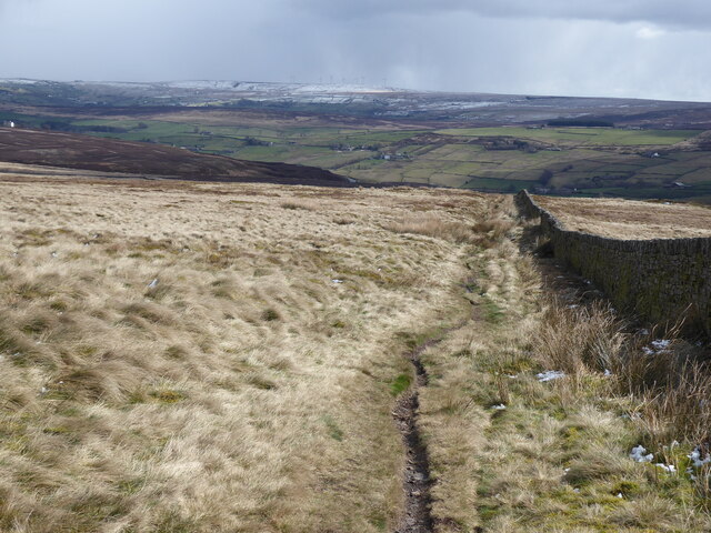
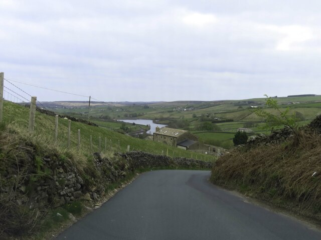
Barn Hill Clough, located in Lancashire, is a picturesque valley renowned for its natural beauty and rich biodiversity. Nestled in the heart of the Rossendale Valley, this idyllic spot is a haven for nature enthusiasts and hikers alike.
The clough is characterized by its steep sides and dense woodland, which creates a sense of seclusion and tranquility. The valley is home to a diverse range of plant and animal species, making it a popular destination for wildlife spotting. Visitors can expect to encounter a variety of bird species, including woodpeckers, owls, and buzzards, as well as mammals such as foxes, rabbits, and deer.
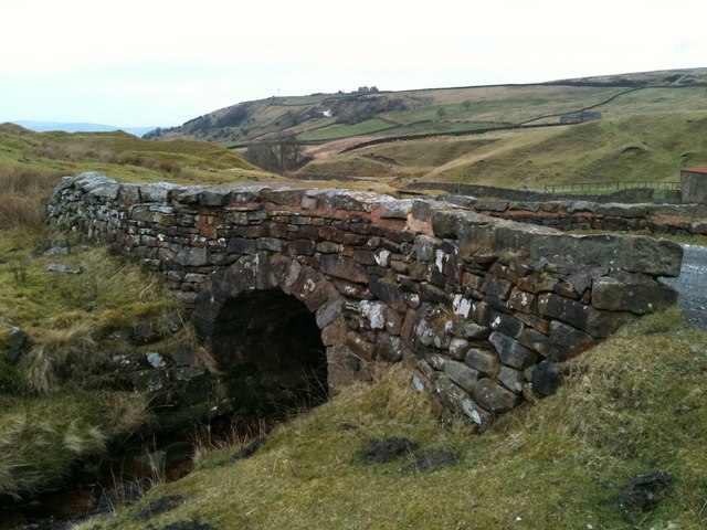
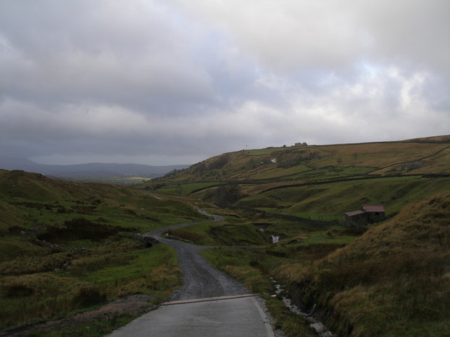
A network of well-maintained footpaths and trails crisscrosses Barn Hill Clough, allowing visitors to explore its natural wonders. The paths wind through ancient woodlands, offering breathtaking views of the valley and its surrounding hills. There are also several small streams and waterfalls that add to the area's charm.
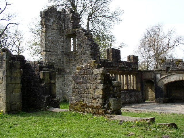
In addition to its natural beauty, Barn Hill Clough is steeped in history. Ruins of old mills and quarries can be found scattered throughout the valley, serving as a reminder of Lancashire's industrial past. The clough has also been designated as a Site of Special Scientific Interest (SSSI), recognizing its unique ecological value.
Overall, Barn Hill Clough in Lancashire is a captivating destination for those seeking a peaceful retreat in nature. Whether it's a leisurely stroll through the woods or a more challenging hike up the valley's hills, visitors are sure to be enchanted by the clough's beauty and serenity.
If you have any feedback on the listing, please let us know in the comments section below.
Barn Hill Clough Images
Images are sourced within 2km of 53.836647/-2.0575704 or Grid Reference SD9637. Thanks to Geograph Open Source API. All images are credited.


Barn Hill Clough is located at Grid Ref: SD9637 (Lat: 53.836647, Lng: -2.0575704)
Administrative County: Lancashire
District: Pendle
Police Authority: Lancashire
What 3 Words
///communal.umbrellas.sleepless. Near Haworth, West Yorkshire
Nearby Locations
Related Wikis

Watersheddles Reservoir
Watersheddles Reservoir is an upland artificial lake in Lancashire, England. The reservoir was opened in 1877 by the Keighley Corporation Water Works,...

Ponden Hall
Ponden Hall is a farmhouse near Stanbury in West Yorkshire, England. It is famous for reputedly being the inspiration for Thrushcross Grange, the home...

Top Withens
Top Withens (SD981353) (also known as Top Withins) is a ruined farmhouse near Haworth, West Yorkshire, England, which is said to have been the inspiration...

Ponden Reservoir
Ponden Reservoir is an artificial upland lake in the Worth Valley, near Stanbury, West Yorkshire, England. Ponden was built as a compensation reservoir...
Wycoller Hall
Wycoller Hall was a late sixteenth-century manor house in the village of Wycoller, Lancashire, England. The hall was the centre of a sizeable estate but...

Wycoller
Wycoller is a village in the civil parish of Trawden Forest in Pendle, Lancashire, England. It is 3 miles (4.8 km) east of Colne, near to the junction...

Scar Top
Scar Top is a farming hamlet near the tourist village of Haworth in the City of Bradford metropolitan borough, West Yorkshire in England. It is in the...

Wycoller Beck
Wycoller Beck is a stream in Lancashire, running through Wycoller Country Park and the village of Wycoller in Pendle. It is 3.76 miles (6.05 km) long and...
Related Videos
A walk into Bronte Country and Top Withins
A walk along the Pennine Way, crossing the moors to Top Withins, the inspiration for Wuthering Heights. This is Bronte country, ...

In the Footsteps of Heathcliff. A Hike to Wuthering Heights. Top Withens. Brontë Country. Haworth
The 1847 Emily Brontë novel Wuthering Heights is regarded as one of the greatest gothic novels of all time. The Bronte Sisters ...
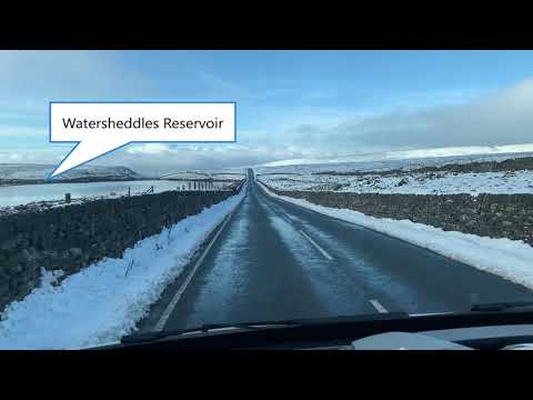
West Yorkshire to Lancashire Road Trip , Watersheddles Reservoir , Snowfall December 2020 (HD)
West Yorkshire to Lancashire Road Trip , Watersheddles Reservoir , Snowfall December 2020 (HD)
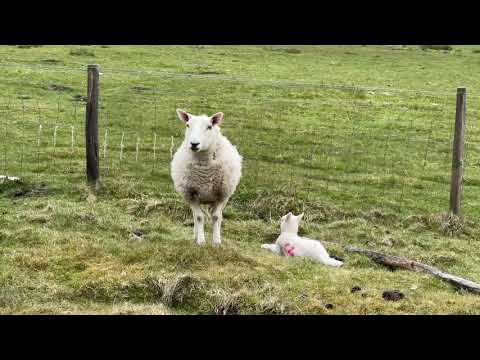
A Very Friendly,Funny Red Grouse ! Watch This.
Walking on the pennine way (Wuthering heights) A red grouse calls and then makes it's way over to say Hullooo.
Nearby Amenities
Located within 500m of 53.836647,-2.0575704Have you been to Barn Hill Clough?
Leave your review of Barn Hill Clough below (or comments, questions and feedback).