Mellow Clough
Valley in Cheshire
England
Mellow Clough
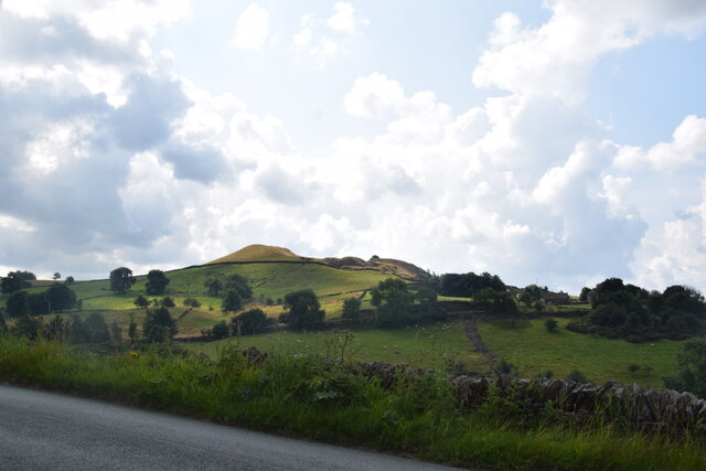
Mellow Clough is a picturesque valley located in Cheshire, England. The valley is known for its tranquil and serene atmosphere, making it a popular destination for nature lovers and hikers. The name "Mellow Clough" reflects the peaceful and relaxed ambiance of the area.
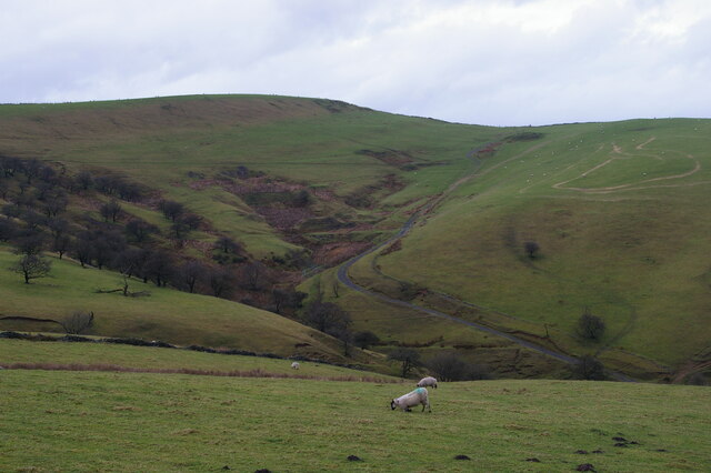
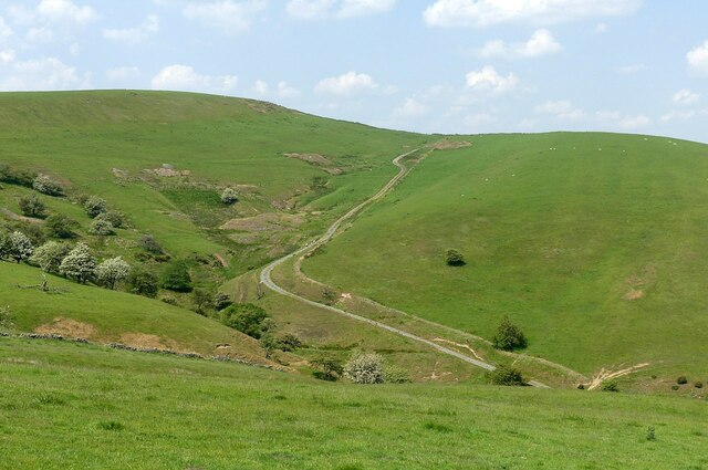
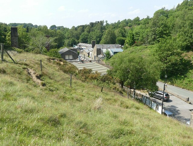
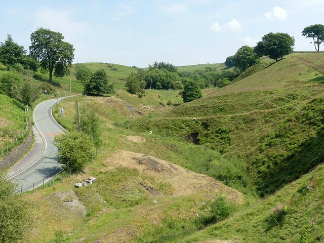
Surrounded by lush greenery and rolling hills, Mellow Clough offers stunning views of the Cheshire countryside. The valley is home to a variety of wildlife, including birds, rabbits, and deer, making it a great spot for birdwatching and wildlife enthusiasts.
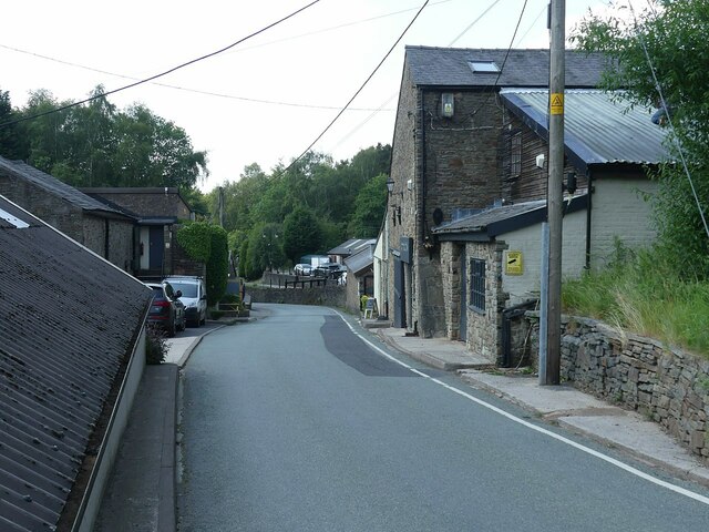
Visitors to Mellow Clough can explore the network of walking trails that wind through the valley, allowing them to immerse themselves in the natural beauty of the area. The valley is also a popular spot for picnics and outdoor activities, with plenty of open spaces for visitors to relax and enjoy the fresh air.
Overall, Mellow Clough is a peaceful and idyllic destination in Cheshire, offering visitors a chance to escape the hustle and bustle of everyday life and reconnect with nature.
If you have any feedback on the listing, please let us know in the comments section below.
Mellow Clough Images
Images are sourced within 2km of 53.300142/-2.0611644 or Grid Reference SJ9678. Thanks to Geograph Open Source API. All images are credited.


Mellow Clough is located at Grid Ref: SJ9678 (Lat: 53.300142, Lng: -2.0611644)
Unitary Authority: Cheshire East
Police Authority: Cheshire
What 3 Words
///unwanted.cadet.before. Near Pott Shrigley, Cheshire
Nearby Locations
Related Wikis

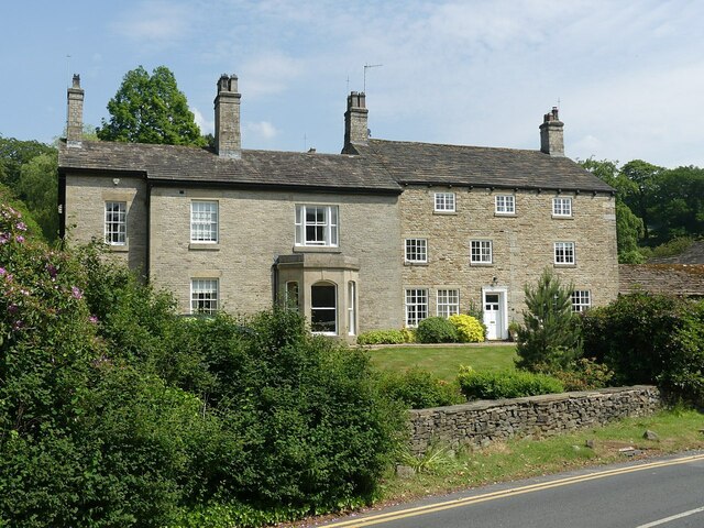
Ingersley Hall
Ingersley Hall, later Savio House, stands to the east of the town of Bollington, Cheshire, England. The house was built in about 1775 for John Gaskell...
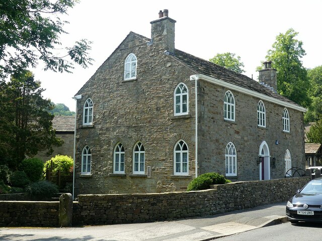
Pott Shrigley
Pott Shrigley is a small village and civil parish in the unitary authority of Cheshire East and the ceremonial county of Cheshire, England. According...

Leonard Haigh
Leonard Haigh (19 October 1880 – 6 August 1916) was an English rugby player. He won seven caps for England between 1910 and 1911, and also represented...
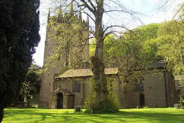
St Christopher's Church, Pott Shrigley
St Christopher's Church is in the small village of Pott Shrigley, Cheshire, England. The church is recorded in the National Heritage List for England...
Related Videos

Walking, Exploring & Droning at Birchencliff, Macclesfield , Cheshire, UK
A beautiful location for a not too strenuous walk. From the A555 ring road you head towards Poynton, pass through there and turn ...

Walking The Gritstone Trail: Part 1 - Hiking and History #13
Join me as I hike the Gritstone Trail - a 35-mile route through some of Cheshire's best countryside. Starting at Disley station, day ...

Hiking in new England | white nancy
hiking #ukhiking #hikinginengland Hiking in new England | white nancy Hi White Nancy is a structure at the top of Kerridge Hill, ...

Hiking to Waulkmill Waterfall
Waulkmill #Waterfall #WaulkmillFarm #manchester #farmlife #livestock #shisha #naturephotography #naturelovers ...
Nearby Amenities
Located within 500m of 53.300142,-2.0611644Have you been to Mellow Clough?
Leave your review of Mellow Clough below (or comments, questions and feedback).