Askrigg Bottoms
Valley in Yorkshire Richmondshire
England
Askrigg Bottoms
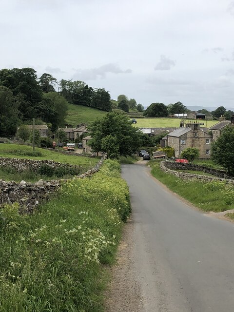
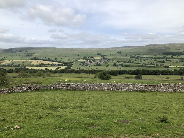
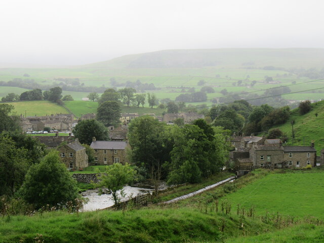
Askrigg Bottoms is a picturesque valley located in the heart of Yorkshire, England. Nestled between rolling hills and surrounded by lush greenery, it is a haven for nature lovers and those seeking tranquility. The valley is situated near the village of Askrigg, which is part of the scenic Yorkshire Dales National Park.
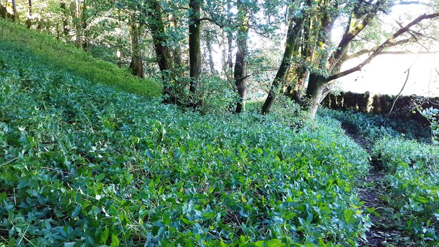
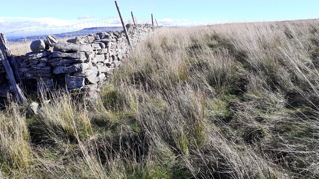
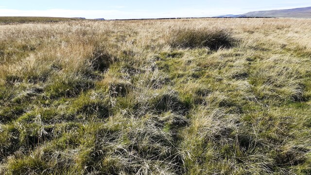
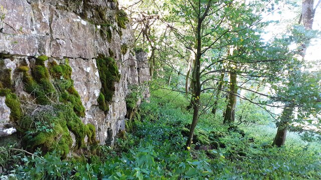
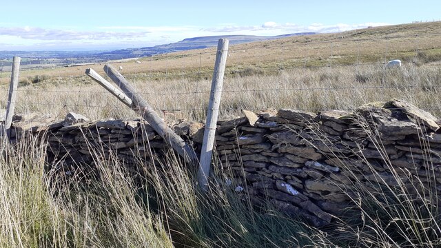
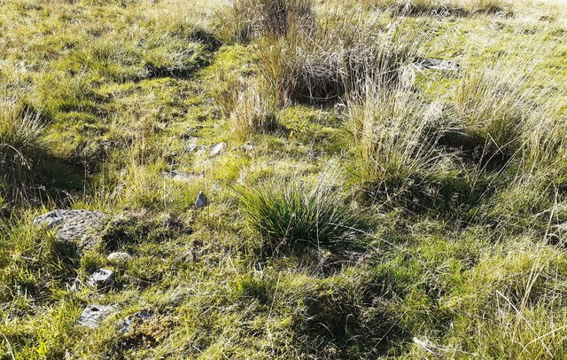
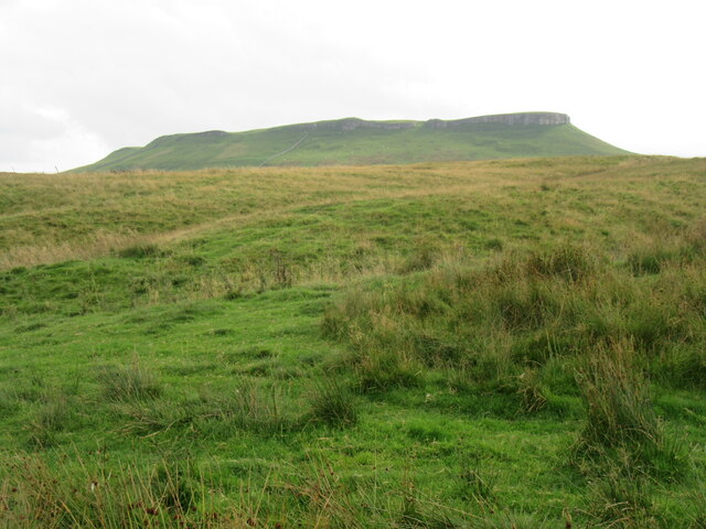
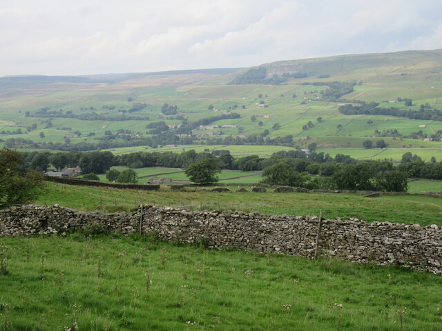
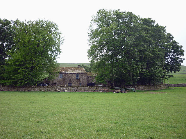
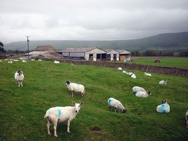
The landscape of Askrigg Bottoms is defined by its sweeping meadows, crossed by babbling brooks and dotted with charming stone cottages. The valley is particularly renowned for its rich biodiversity, with a variety of plant and animal species found in abundance. Visitors can expect to spot grazing sheep, cows, and horses as they explore the area.
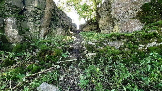
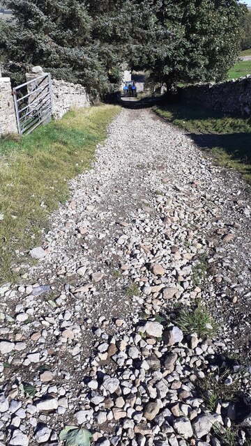
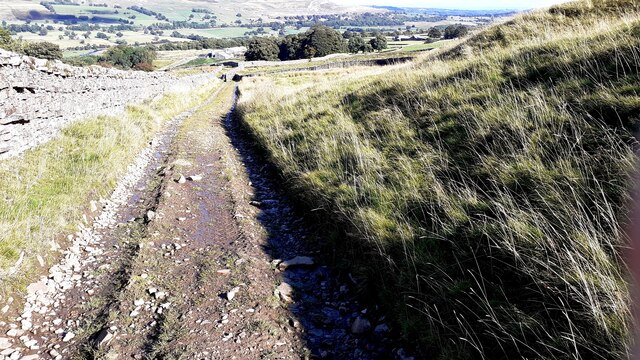
A network of walking trails crisscrosses the valley, providing ample opportunities for hikers and ramblers to explore the stunning surroundings. These trails offer breathtaking views of the valley, as well as access to nearby attractions such as the famous Aysgarth Falls and the ancient Bolton Castle.
In addition to its natural beauty, Askrigg Bottoms boasts a strong sense of community and a rich history. The village of Askrigg itself is home to several historic buildings, including St. Oswald's Church, which dates back to the 12th century. The area also served as the filming location for the popular television series "All Creatures Great and Small," further enhancing its appeal to visitors.
Overall, Askrigg Bottoms is a hidden gem in Yorkshire, offering a perfect blend of natural beauty, outdoor activities, and a glimpse into the region's history and heritage.
If you have any feedback on the listing, please let us know in the comments section below.
Askrigg Bottoms Images
Images are sourced within 2km of 54.309362/-2.077658 or Grid Reference SD9590. Thanks to Geograph Open Source API. All images are credited.

Askrigg Bottoms is located at Grid Ref: SD9590 (Lat: 54.309362, Lng: -2.077658)
Division: North Riding
Administrative County: North Yorkshire
District: Richmondshire
Police Authority: North Yorkshire
What 3 Words
///otter.defeat.science. Near Leyburn, North Yorkshire
Nearby Locations
Related Wikis

Cringley House
Cringley House (also known as Skeldale House) is an historic building in the English village of Askrigg, North Yorkshire. Standing on the south side of...

Worton, North Yorkshire
Worton is a hamlet in Wensleydale in the Yorkshire Dales in the Richmondshire district of North Yorkshire, England. It lies 1-mile (1.6 km) east of Bainbridge...

Askrigg
Askrigg is a small village and civil parish in Wensleydale in the Yorkshire Dales National Park. It was formerly a part of the Richmondshire district of...
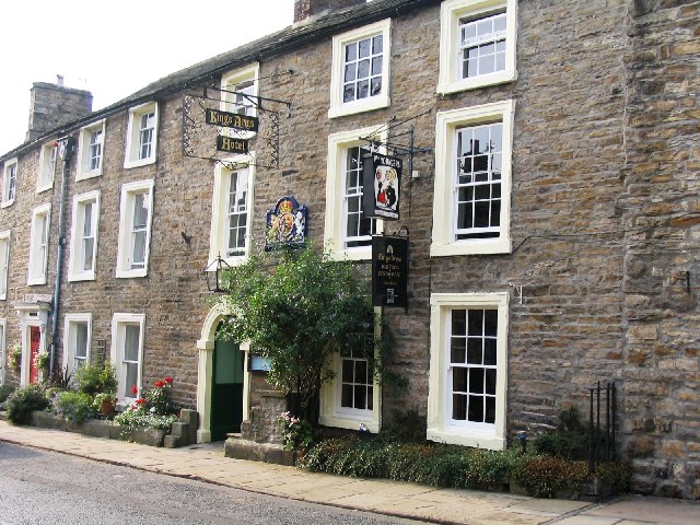
Kings Arms Hotel
The Kings Arms Hotel is a public house and inn in the English village of Askrigg, North Yorkshire. A Grade II listed building, standing on the northern...

St Oswald's Church, Askrigg
St Oswald's Church is a Grade I listed parish church in the Church of England in Askrigg, North Yorkshire. == History == The church dates largely from...

Askrigg railway station
Askrigg railway station is a disused railway station in North Yorkshire, England and served the village of Askrigg. It was part of the Wensleydale Railway...
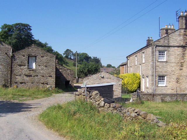
Cubeck
Cubeck is a hamlet in the Richmondshire district of North Yorkshire, England. It is near Thornton Rust and Worton. == External links == Media related...

Newbiggin, Askrigg
Newbiggin is a hamlet very close to Askrigg, North Yorkshire, England. Another Newbiggin is only about 7 miles (11 km) away. The hamlet consists of eight...
Nearby Amenities
Located within 500m of 54.309362,-2.077658Have you been to Askrigg Bottoms?
Leave your review of Askrigg Bottoms below (or comments, questions and feedback).