Tinkers Clough
Valley in Cheshire
England
Tinkers Clough
Tinkers Clough is a picturesque valley located in Cheshire, England. Nestled amidst rolling hills and lush greenery, this charming destination offers a serene and tranquil escape from the hustle and bustle of city life. The name "Tinkers Clough" is believed to have originated from the Romani Gypsy community that once resided in the area.
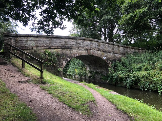
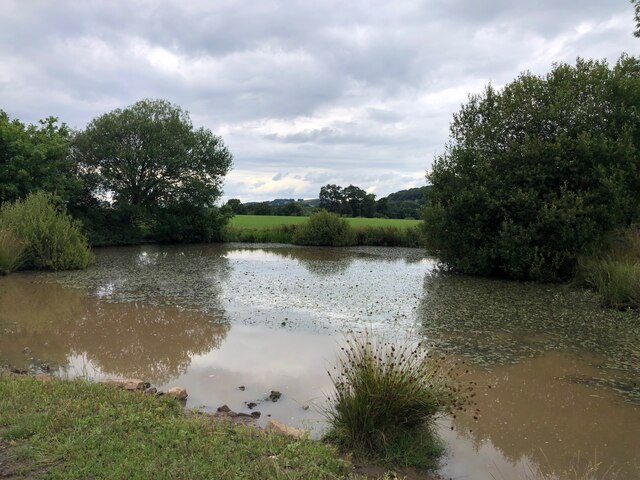
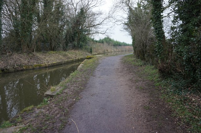
The valley is characterized by its stunning natural beauty, with a meandering river flowing through its heart. The river, known as the Tinkers Brook, adds to the overall charm and provides a delightful backdrop for visitors. The valley is also home to an abundance of wildlife, making it a haven for nature enthusiasts and birdwatchers.
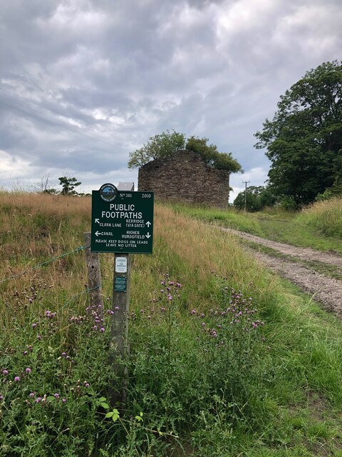
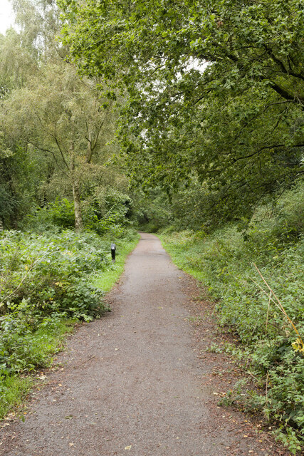
Tinkers Clough is a popular destination for outdoor activities such as hiking and cycling. The valley boasts several well-maintained trails, offering breathtaking views of the surrounding countryside. Along these trails, visitors can discover hidden waterfalls, ancient woodlands, and peaceful picnic spots.
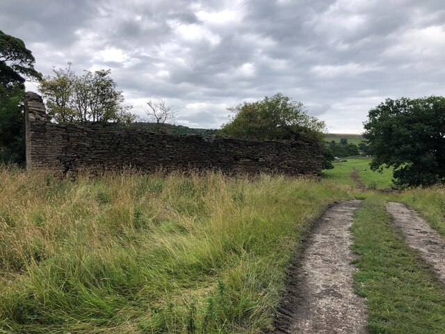
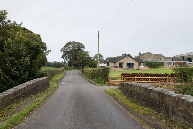
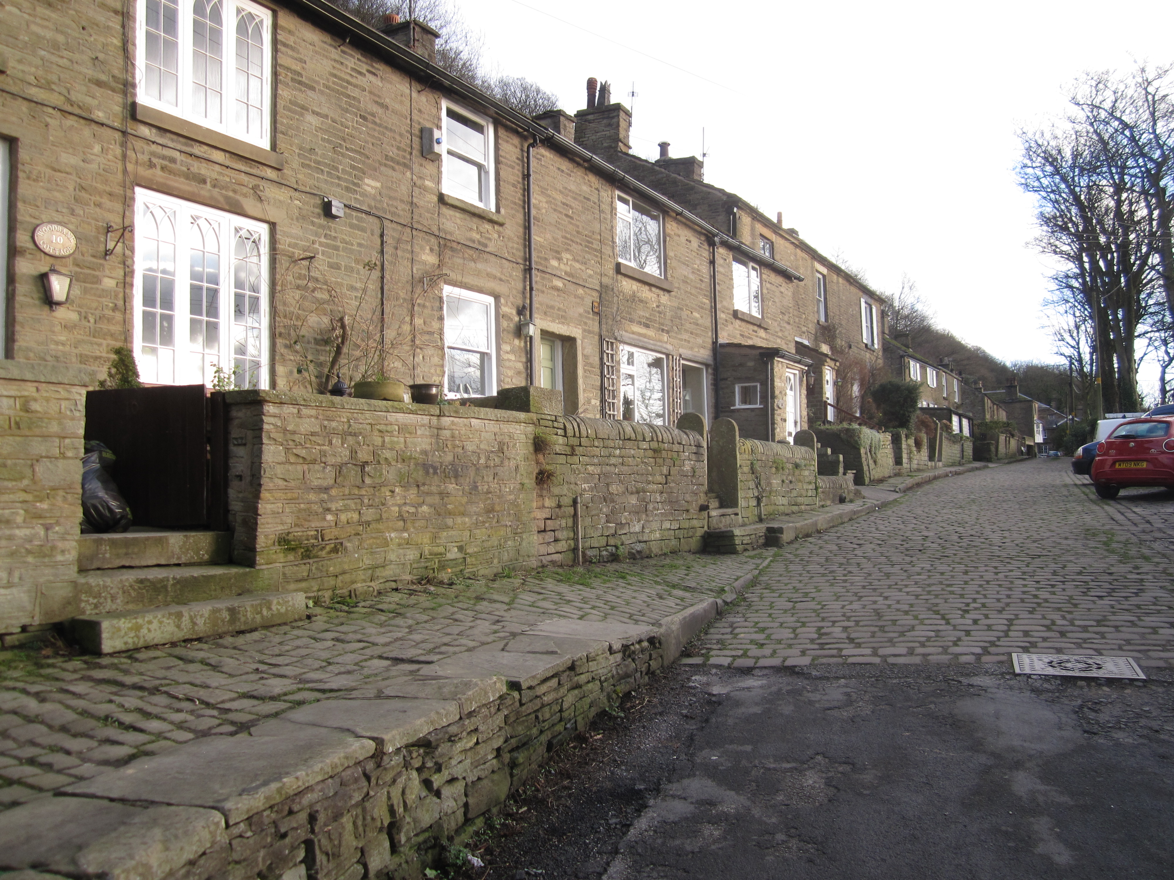
In addition to its natural attractions, Tinkers Clough is also known for its quaint villages and historic landmarks. The nearby village of Tinkersfield offers traditional pubs, charming cottages, and a warm and welcoming community. The valley is also home to an ancient stone circle, believed to have been erected during the Neolithic period.
Overall, Tinkers Clough, Cheshire is a delightful destination that combines natural beauty, outdoor activities, and a rich cultural heritage. It offers a perfect escape for those seeking tranquility and a deep connection with nature.
If you have any feedback on the listing, please let us know in the comments section below.
Tinkers Clough Images
Images are sourced within 2km of 53.289629/-2.1063622 or Grid Reference SJ9376. Thanks to Geograph Open Source API. All images are credited.


Tinkers Clough is located at Grid Ref: SJ9376 (Lat: 53.289629, Lng: -2.1063622)
Unitary Authority: Cheshire East
Police Authority: Cheshire
What 3 Words
///animal.pots.bucks. Near Bollington, Cheshire
Nearby Locations
Related Wikis
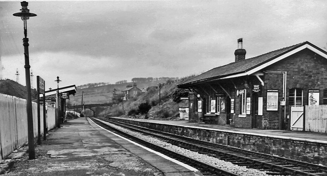
Bollington railway station
Bollington railway station was a railway station serving the town of Bollington in Cheshire, England. It was opened in 1869 by the Macclesfield, Bollington...
Kerridge
Kerridge is a village in the civil parish of Bollington, in the Cheshire East district, in the ceremonial county of Cheshire, England. Kerridge borders...

Hollin Old Hall
Hollin Old Hall is a house in Bollington, Cheshire, England. The oldest part of the house dates from the seventeenth century. In the middle of the eighteenth...
Endon Hall
Endon Hall is a country house to the south of Bollington and to the west of Kerridge Hill in Cheshire, England. It was built for William Clayton who developed...
Related Videos

Walking The Gritstone Trail: Part 1 - Hiking and History #13
Join me as I hike the Gritstone Trail - a 35-mile route through some of Cheshire's best countryside. Starting at Disley station, day ...

Hiking to Waulkmill Waterfall
Waulkmill #Waterfall #WaulkmillFarm #manchester #farmlife #livestock #shisha #naturephotography #naturelovers ...

Hiking in new England | white nancy
hiking #ukhiking #hikinginengland Hiking in new England | white nancy Hi White Nancy is a structure at the top of Kerridge Hill, ...

White Nancy, Bollington, Macclesfield SK10 5AX
A hike to White Nancy #peakdistrict #nature #walking #hiking #familytime #weekend #manchester #uk #moldoveniinuk ...
Nearby Amenities
Located within 500m of 53.289629,-2.1063622Have you been to Tinkers Clough?
Leave your review of Tinkers Clough below (or comments, questions and feedback).