Shores Clough
Valley in Cheshire
England
Shores Clough
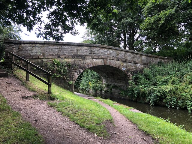
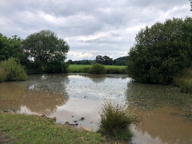
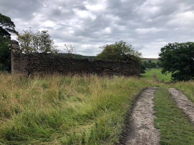
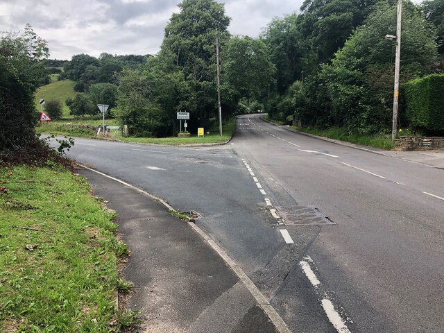
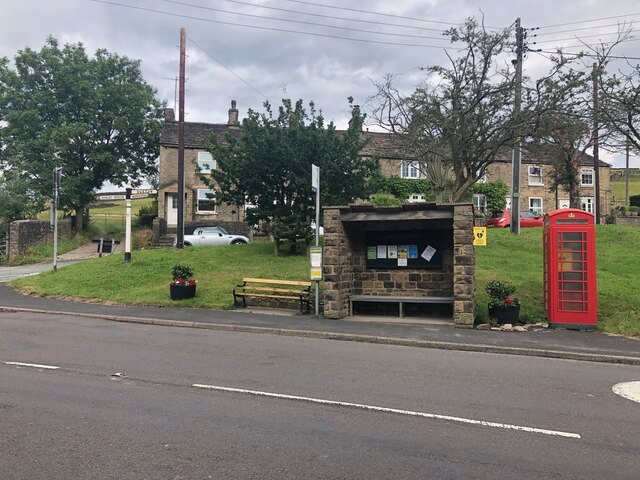
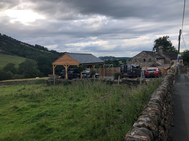
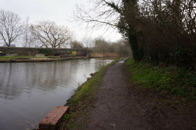
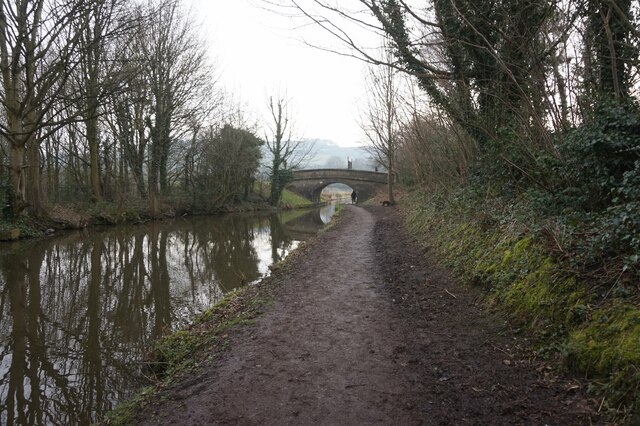
Shores Clough is a picturesque valley located in Cheshire, England. Situated in the northeastern part of the county, it is renowned for its stunning natural beauty and tranquil atmosphere. The valley is nestled between rolling hills and is characterized by its lush greenery, dense woodlands, and meandering streams.
The name "Shores Clough" derives from the Old English word "clōh," meaning a ravine or narrow valley, which accurately describes the geography of the area. The valley stretches for approximately 2 miles, offering visitors ample opportunities for leisurely walks, hiking, and exploring the surrounding countryside.
Wildlife enthusiasts will be delighted by the diverse flora and fauna that call Shores Clough their home. The valley is home to a wide variety of bird species, including kingfishers, woodpeckers, and various waterfowl. Additionally, the woodlands are teeming with mammals such as foxes, badgers, and squirrels.
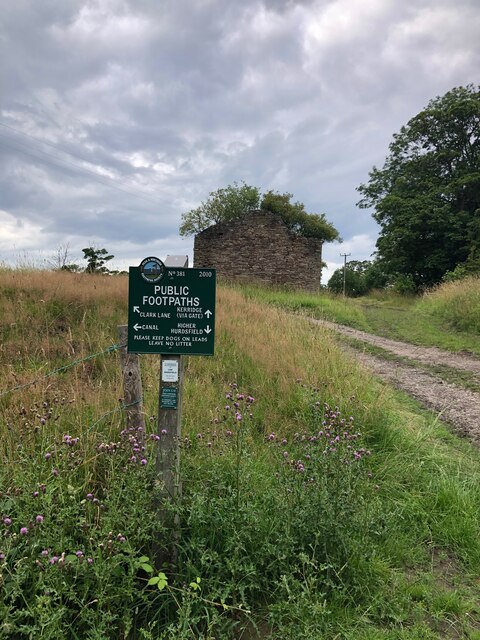
Shores Clough is a popular destination for nature lovers and outdoor enthusiasts, with its breathtaking scenery providing the perfect backdrop for activities such as picnicking, photography, and simply immersing oneself in nature's tranquility. The valley also offers a range of walking trails, catering to different levels of difficulty, allowing visitors to explore the area at their own pace.
Overall, Shores Clough in Cheshire is a hidden gem, offering a peaceful and immersive experience in the heart of nature. It is a place where visitors can escape the hustle and bustle of everyday life and reconnect with the natural world.
If you have any feedback on the listing, please let us know in the comments section below.
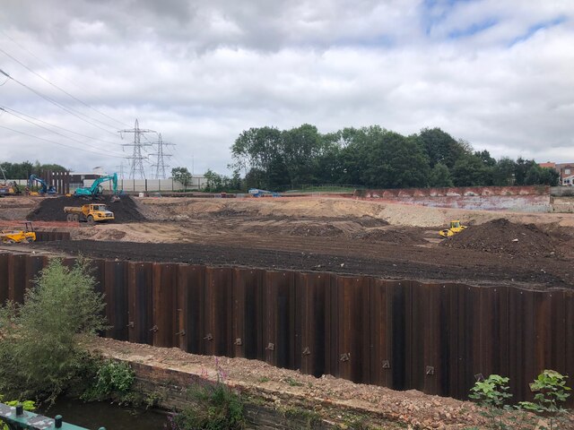
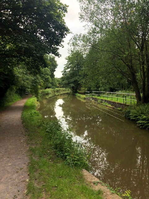
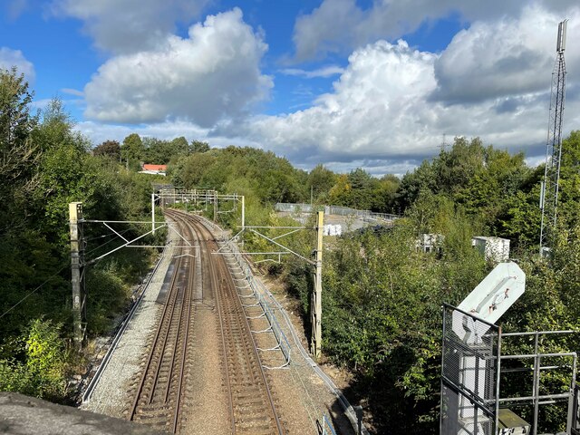
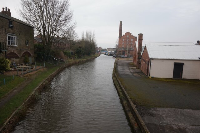
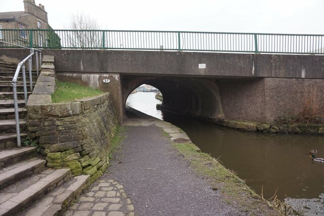
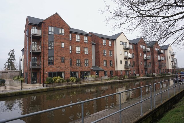
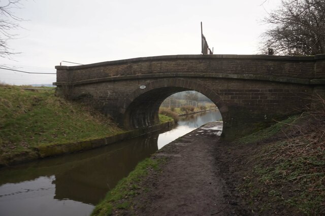
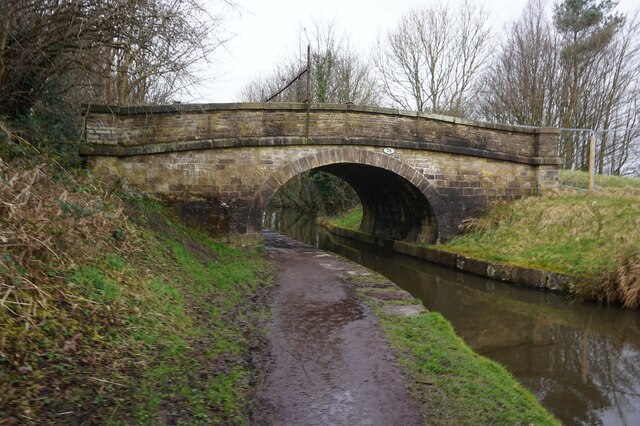
Shores Clough Images
Images are sourced within 2km of 53.270877/-2.1088046 or Grid Reference SJ9274. Thanks to Geograph Open Source API. All images are credited.
Shores Clough is located at Grid Ref: SJ9274 (Lat: 53.270877, Lng: -2.1088046)
Unitary Authority: Cheshire East
Police Authority: Cheshire
What 3 Words
///shed.bunch.global. Near Macclesfield, Cheshire
Nearby Locations
Related Wikis
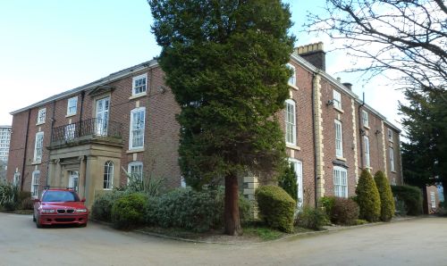
Hurdsfield House
Hurdsfield House is a former country house, now surrounded by housing, in the town of Macclesfield, Cheshire, England. It was built for a branch of the...

Holy Trinity Church, Hurdsfield
Holy Trinity Church is in Hurdsfield Road, Macclesfield, Cheshire, England. It is an active Anglican parish church in the deanery of Macclesfield, the...

Higher Hurdsfield
Higher Hurdsfield is a village and civil parish in the unitary authority of Cheshire East and the ceremonial county of Cheshire, England. Higher Hurdsfield...

Macclesfield railway station (Macclesfield, Bollington and Marple Railway)
Macclesfield railway station was a short lived railway station serving the town of Macclesfield in Cheshire, England. It was opened in 1869 by the Macclesfield...
Nearby Amenities
Located within 500m of 53.270877,-2.1088046Have you been to Shores Clough?
Leave your review of Shores Clough below (or comments, questions and feedback).