Yearning Cleuch

Valley in Roxburghshire

Scotland

Yearning Cleuch

Score Head View of the broad ridge below Score Head taken from the faint quad track above Yearning Cleuch. View in the distance is of Auchope Cairn.
Score Head Credit: Steve Revell

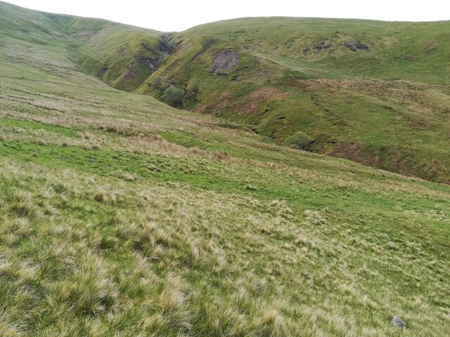
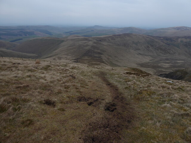
Yearning Cleuch is a picturesque valley located in Roxburghshire, a historic county in the Scottish Borders region of Scotland. This stunning valley is nestled within the rolling hills and offers breathtaking views of the surrounding landscape.

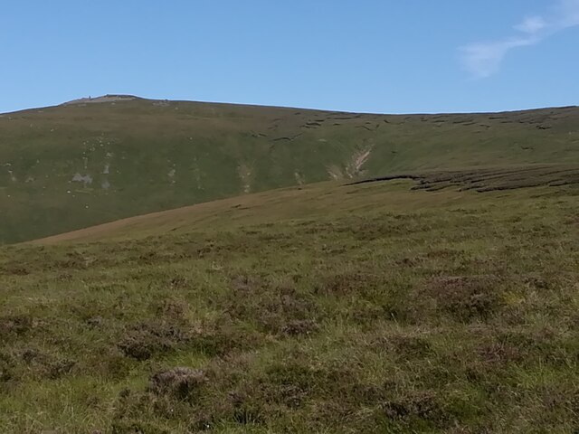
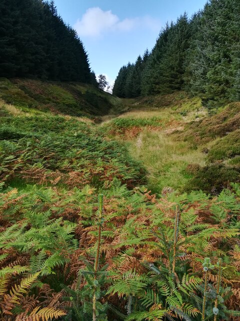
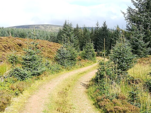
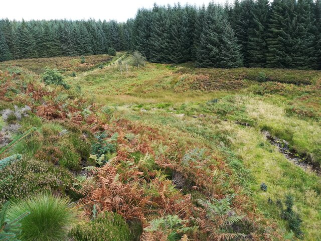
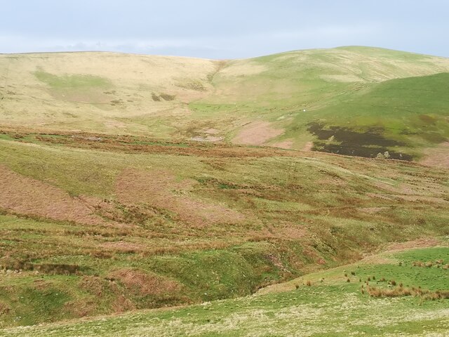
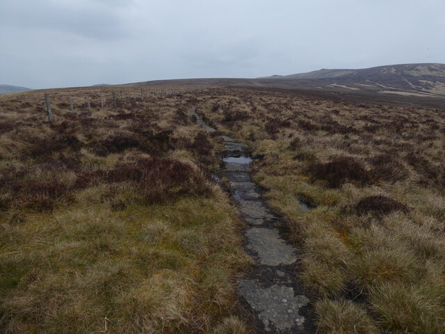
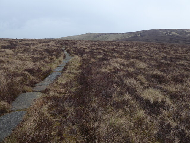
Situated in the southern uplands, Yearning Cleuch is a haven for nature enthusiasts and hikers. The valley is characterized by its lush greenery, meandering streams, and diverse wildlife. Visitors can witness an array of plant species such as heather, ferns, and wildflowers, creating a vibrant and colorful atmosphere.

The area is also home to several species of birds and animals, including red grouse, roe deer, and golden eagles. Nature lovers can enjoy peaceful walks along the valley, exploring its hidden corners and discovering the tranquility of the Scottish countryside.

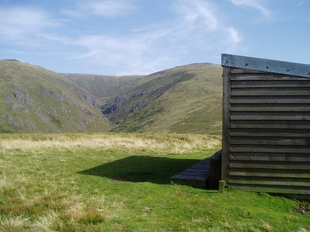
Yearning Cleuch is not only known for its natural beauty but also for its historical significance. The valley has witnessed human habitation for centuries, with evidence of ancient settlements and archaeological sites. Visitors can explore the remnants of old buildings and structures that stood as a testament to the valley's rich heritage.

In addition to its natural and historical wonders, Yearning Cleuch offers a sense of serenity and escape from the hustle and bustle of modern life. Its remote location and unspoiled landscapes make it an ideal destination for those seeking solitude and a connection with nature.

Overall, Yearning Cleuch in Roxburghshire is a captivating and idyllic valley, offering a harmonious blend of nature, history, and tranquility.

If you have any feedback on the listing, please let us know in the comments section below.

Yearning Cleuch Images

Images are sourced within 2km of 55.459256/-2.2013556 or Grid Reference NT8718. Thanks to Geograph Open Source API. All images are credited.

Score Head View of the broad ridge below Score Head taken from the faint quad track above Yearning Cleuch. View in the distance is of Auchope Cairn.
Score Head
View of the broad ridge below Score Head taken from the faint quad track above Yearning Cleuch. View in the distance is of Auchope Cairn.
Buttroads Sike in the Uswayford plantation Autumn approaching in this dense plantation. There are breaks where there is a stream though, known locally as sikes. Buttroads was one of the minor droving routes crossing the border ridge and dropping onto Randy's Gap on the Scottish side.
Buttroads Sike in the Uswayford plantation
Autumn approaching in this dense plantation. There are breaks where there is a stream though, known locally as sikes. Buttroads was one of the minor droving routes crossing the border ridge and dropping onto Randy's Gap on the Scottish side.
Forest Track in Uswayford plantation Looking North East towards the Cheviot massif (in the background) from the forest track between Buttraods Sike and Murder Cleugh. Note the amount of self seeded spruce on the track side.
Forest Track in Uswayford plantation
Looking North East towards the Cheviot massif (in the background) from the forest track between Buttraods Sike and Murder Cleugh. Note the amount of self seeded spruce on the track side.
Davidson's Burn in the Uswayford Plantation Davidson's Burn in a corridor of bracken, heather and extremely hummocky grass as it passes through the upper reaches of the Uswayford Plantation. Had hoped there may be a faint path down stream but no sign. 450m above sea level, this plantation creeps up almost to the border ridge.
Davidson's Burn in the Uswayford Plantation
Davidson's Burn in a corridor of bracken, heather and extremely hummocky grass as it passes through the upper reaches of the Uswayford Plantation. Had hoped there may be a faint path down stream but no sign. 450m above sea level, this plantation creeps up almost to the border ridge.
Randy's Gap nr Kingseat Looking up to the Border Ridge to the fork in Randy's Gap, a steep sided twin gully of highly altered rocks affected by the Kingseat volcanic mineralisation.
Randy's Gap nr Kingseat
Looking up to the Border Ridge to the fork in Randy's Gap, a steep sided twin gully of highly altered rocks affected by the Kingseat volcanic mineralisation.
Thief's Slack on East side of Cock Law A small sike on the side of Cock Law presumably where a thief could exit the main drover's road and head across to the more secretive Randy's Gap as a route into England across the Border.
Thief's Slack on East side of Cock Law
A small sike on the side of Cock Law presumably where a thief could exit the main drover's road and head across to the more secretive Randy's Gap as a route into England across the Border.
The Pennine Way near Randy's Gap
The Pennine Way near King's Seat
The Pennine Way near Score Head
The Pennine Way near Hen Hole
Pennine Way shelter near Red Cribs
Red Cribs from the Pennine Way
Hen Hole Hen Hole from the Pennine Way approx. NT881200
Hen Hole
Hen Hole from the Pennine Way approx. NT881200
College Burn from Red Cribs Looking NNE down the valley of College Burn from Red Cribs on the Pennine Way, approx. NT873201
College Burn from Red Cribs
Looking NNE down the valley of College Burn from Red Cribs on the Pennine Way, approx. NT873201
Dod Hill
Dod Hill
Auchope Mountain Refuge Hut Looking east to the gully of Hen Hole, with Auchope Cairn on the right.
Auchope Mountain Refuge Hut
Looking east to the gully of Hen Hole, with Auchope Cairn on the right.
The view north from Scotland into England Well, almost - photographer's position just slightly to the north of the border (on the English side).  Looking along the valley of College Burn
The view north from Scotland into England
Well, almost - photographer's position just slightly to the north of the border (on the English side). Looking along the valley of College Burn
Auchope Mountain Refuge On the final 42 km stage of the Pennine Way, the most strenuous day of all, there are no opportunities for accommodation or refreshment. The National Park authorities have established two refuges - here and at Yearning Saddle <a href="https://www.geograph.org.uk/gridref/NT8012">NT8012</a>. They must have proved lifesavers on occasion.

The Auchope Cairns <a href="https://www.geograph.org.uk/gridref/NT8919">NT8919</a> can be seen on the skyline with the gorge of Hen Hole to the left.
Auchope Mountain Refuge
On the final 42 km stage of the Pennine Way, the most strenuous day of all, there are no opportunities for accommodation or refreshment. The National Park authorities have established two refuges - here and at Yearning Saddle NT8012. They must have proved lifesavers on occasion. The Auchope Cairns NT8919 can be seen on the skyline with the gorge of Hen Hole to the left.
Show me another place!

Yearning Cleuch is located at Grid Ref: NT8718 (Lat: 55.459256, Lng: -2.2013556)

Unitary Authority: The Scottish Borders

Police Authority: The Lothians and Scottish Borders

What 3 Words

///aspect.baseless.move. Near Kirknewton, Northumberland

Nearby Locations

Yearning Cleuch

Related Wikis

Windy Gyle

Windy Gyle is a mountain in the Cheviot Hills range, on the border between England and Scotland. Like the other hills in the area, it is rounded and grass...

Cheviot Hills

The Cheviot Hills (), or sometimes The Cheviots, are a range of uplands straddling the Anglo-Scottish border between Northumberland and the Scottish Borders...

The Cheviot

The Cheviot () is an extinct volcano and the highest summit in the Cheviot Hills and in the county of Northumberland. Located in the extreme north of England...

Mowhaugh

Mowhaugh is a hamlet and farm steading near the Calroust Burn and the Bowmont Water, near Morebattle, in the Scottish Borders area of Scotland, and in...

Hedgehope Hill

Hedgehope Hill is a mountain in the Cheviot Hills of north Northumberland in northeast England, and categorised as a Hewitt. At a height of 714 metres...

Kidland

Kidland is a former civil parish, now in the parish of Alwinton in Northumberland, England, about 2 miles (3 km) northwest of Alwinton village. In 1951...

Barrow Burn Meadows

Barrow Burn Meadows is a Site of Special Scientific Interest (SSSI) in north Northumberland, England. The site is a species-rich hay meadow of a sort now...

Barrow Burn

Barrowburn is a hamlet in Upper Coquetdale in the county of Northumberland, England. It comprises a working farm with associated buildings and two holiday...

Related Videos

Windy Waterfall Walk

25th Silver Wedding anniversary walks to Davidson's Linn and Windy Gyle.

Hen hole and Auchope cairn, cheviot hills Northumberland ♥

Rise up! The impressive hen hole and fantastic auchope cairn in the cheviot hills, northumberland.

Windy Gyle - The Hill on the Border | Scotland to England | The Donalds

This week sees Alistair and Douglas heading south - all the way to the border! Windy Gyle is in the Cheviots and lies astride the ...

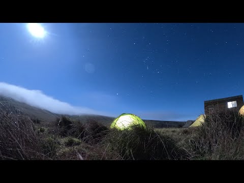
A Festive Wild Camp at Auchope Refuge Shelter

A few festive drinks with good friends in the Auchope refuge shelter on a fantastic starry frosty night.

Have you been to Yearning Cleuch?

Leave your review of Yearning Cleuch below (or comments, questions and feedback).