Kirkfield Dene
Valley in Northumberland
England
Kirkfield Dene
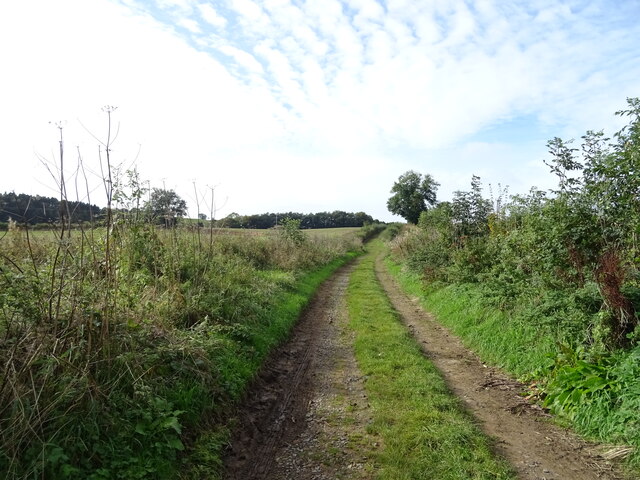
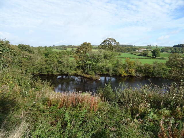
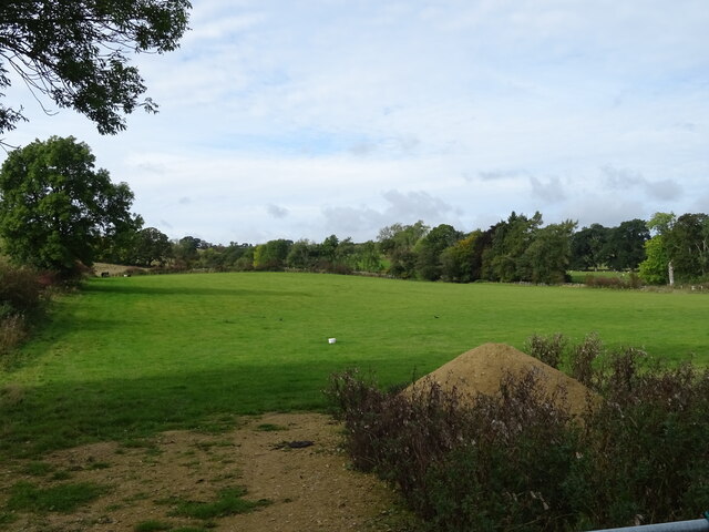
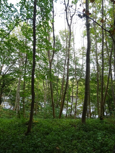
Kirkfield Dene is a picturesque valley located in Northumberland, England. Nestled amidst rolling hills and lush greenery, it is renowned for its natural beauty and tranquility. Stretching over several miles, the dene is a haven for nature enthusiasts and outdoor lovers.
The valley is home to a diverse range of flora and fauna, with an abundance of wildflowers, ancient trees, and various bird species. The meandering river that runs through Kirkfield Dene adds to its charm and provides a serene atmosphere. The crystal-clear water, teeming with fish and other aquatic life, attracts anglers and fishing enthusiasts.
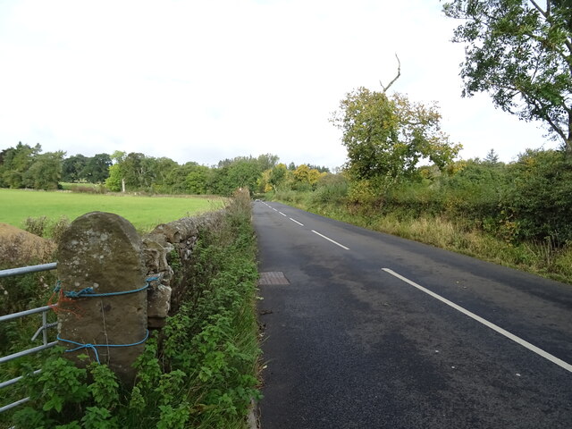
Walking trails wind through the dene, offering visitors the opportunity to explore its enchanting landscapes and discover hidden gems along the way. The paths are well-maintained and suitable for all levels of fitness, making it an ideal destination for families, hikers, and nature photographers.
Kirkfield Dene also has a rich history, with artifacts dating back to ancient times. Archaeological remains, including Roman ruins and medieval structures, can be found in and around the valley, adding an element of historical intrigue to the area.
The dene is a popular spot for picnics and outdoor gatherings, with designated picnic areas and benches scattered throughout. It is also a peaceful retreat for those seeking solace and a break from the hustle and bustle of daily life.
Overall, Kirkfield Dene is a true hidden gem in Northumberland, offering visitors an opportunity to immerse themselves in nature, discover its rich history, and enjoy a tranquil escape from the outside world.
If you have any feedback on the listing, please let us know in the comments section below.
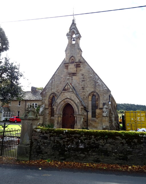
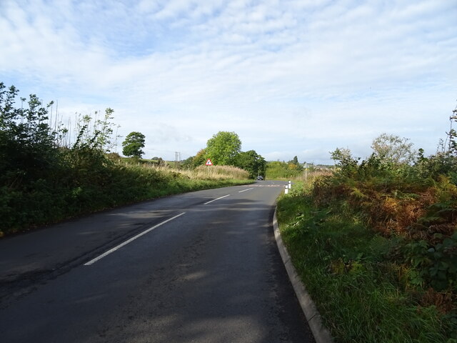
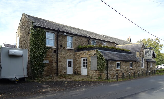
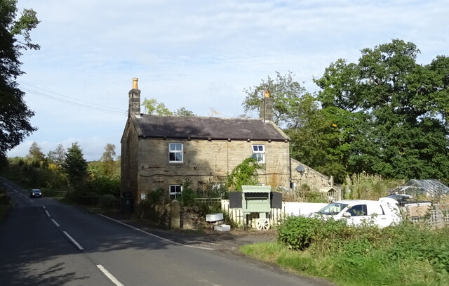
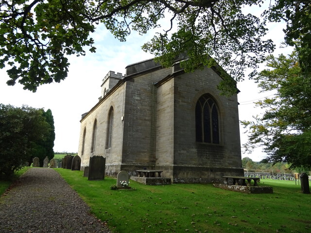
Kirkfield Dene Images
Images are sourced within 2km of 55.09419/-2.2225792 or Grid Reference NY8577. Thanks to Geograph Open Source API. All images are credited.
Kirkfield Dene is located at Grid Ref: NY8577 (Lat: 55.09419, Lng: -2.2225792)
Unitary Authority: Northumberland
Police Authority: Northumbria
What 3 Words
///trials.syndicate.stripped. Near Birtley, Northumberland
Nearby Locations
Related Wikis

Wark on Tyne
Wark on Tyne is a small village and civil parish in Northumberland, England, 12 miles (19 km) north of Hexham. == History == The name is derived from the...

Wark Town Hall
Wark Town Hall is a municipal building on The Green in Wark on Tyne, Northumberland, England. The building, which is used as a community events venue,...

Wark in Tyndale Castle
Wark in Tyndale Castle was a medieval building in the English county of Northumberland (grid reference NY861768). It was first mentioned in 1399–1400,...

Wark railway station
Wark railway station is a disused railway station which served the village of Wark on Tyne, Northumberland, England. Located on the Border Counties Railway...

Birtley, Northumberland
Birtley is a village in Northumberland, England southeast of Bellingham. It is about 10 miles (16 km) north of Hexham. == References == == External... ==
Countess Park railway station
Countess Park railway station served the village of Bellingham, Northumberland, England from 1859 to 1861, during the construction of the Border Counties...
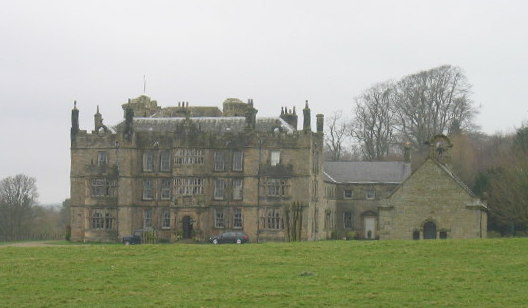
Chipchase Castle
Chipchase Castle is a 17th-century Jacobean mansion incorporating a substantial 14th-century pele tower, which stands north of Hadrian's Wall, near Wark...
Nunwick Hall
Nunwick Hall is a privately owned 18th-century country house near Simonburn, Northumberland in North East England. The estate has been the home of the...
Related Videos
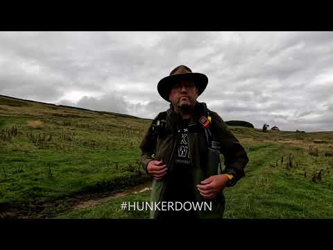
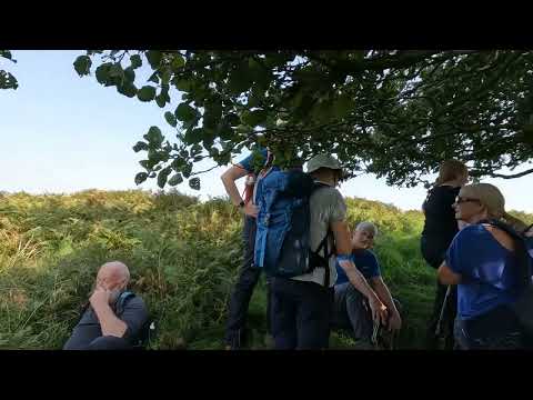
Walking around Wark ~ Southwest loop
Gopro10 decided not to record audio on toady's walk, so my first attempt at overcoming that. Good walk - no spectacular sights ...
Northumberland: Wark - Devil's Leap loop with Interesting Walks NE (8 miles) Scorchio!
A beautiful walk with a lovely bait stop beside the River North Tyne and a visit to the studio of Artist Fred Watson, who works in ...

Flythrough - Wark Circular, taking in Ravensheugh Crags & The Goatstones, great views along the way.
A great days walking. Taking in some places of genuine historic interest, some fabulous views, from a relatively low altitude.

Wark Circular, taking in Ravensheugh Crags and The Goatstones, great views along the way.
A great days walking. Taking in some places of genuine historic interest, some fabulous views, from a relatively low altitude.
Nearby Amenities
Located within 500m of 55.09419,-2.2225792Have you been to Kirkfield Dene?
Leave your review of Kirkfield Dene below (or comments, questions and feedback).