Doverdale
Valley in Worcestershire Wychavon
England
Doverdale
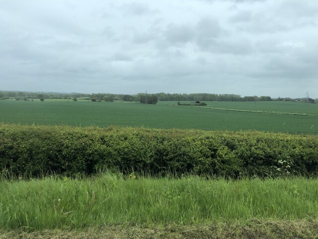
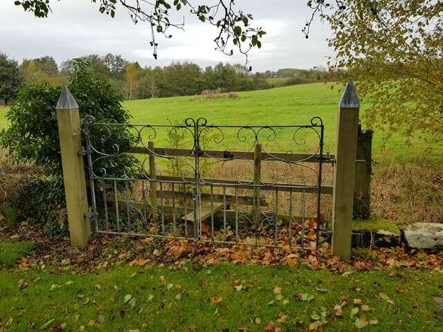
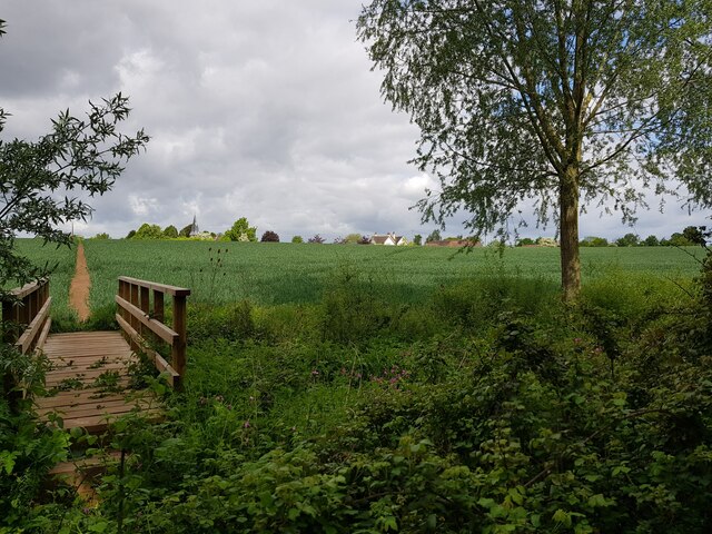
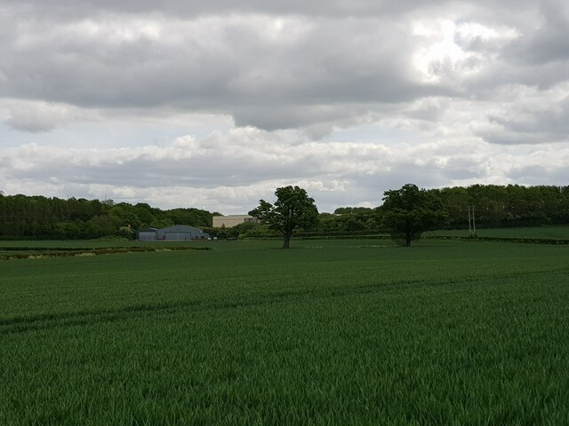
Doverdale is a small village located in the county of Worcestershire, England. Situated in the picturesque Teme Valley, it is nestled amidst rolling hills and lush green landscapes, offering residents and visitors a tranquil and idyllic setting.
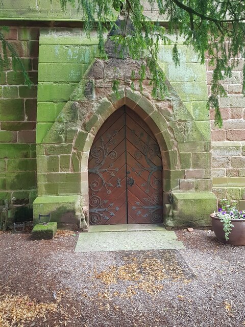
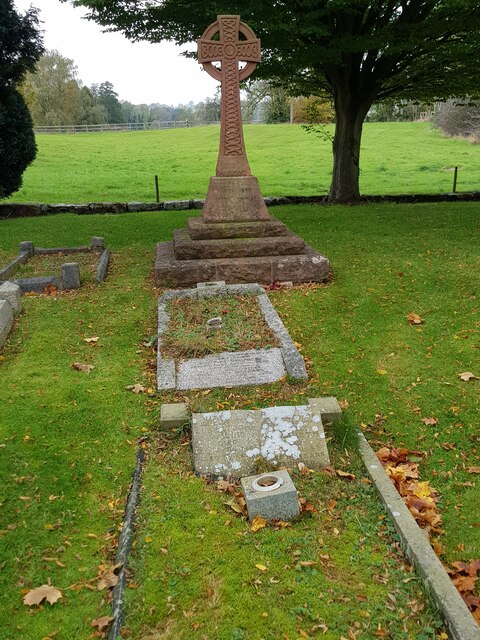
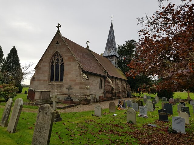
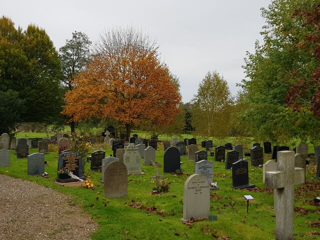
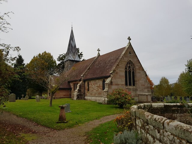
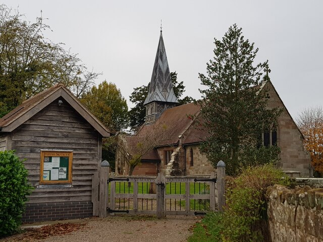
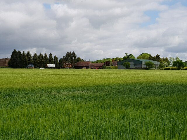
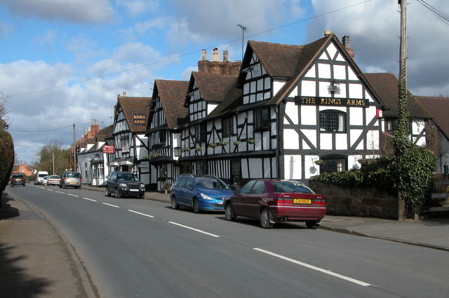
The village is predominantly residential, with a close-knit community that takes pride in its heritage and natural surroundings. The architecture in Doverdale reflects its rural charm, featuring traditional English cottages and farmhouses, many of which date back several centuries. The village also boasts a charming church, St. Mary's, which stands as a testament to its long history.
Despite its size, Doverdale offers a range of amenities to cater to the needs of its residents. The village is home to a local pub, The Teme Valley Arms, which serves as a hub for social gatherings and community events. Additionally, there is a village hall that hosts various activities and functions throughout the year.
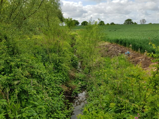
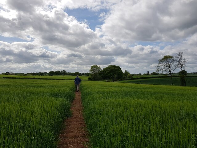
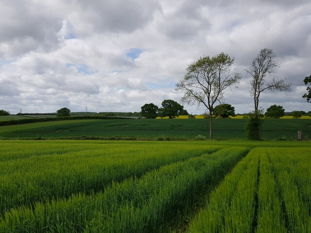
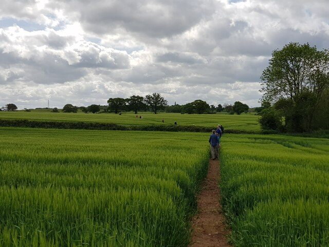
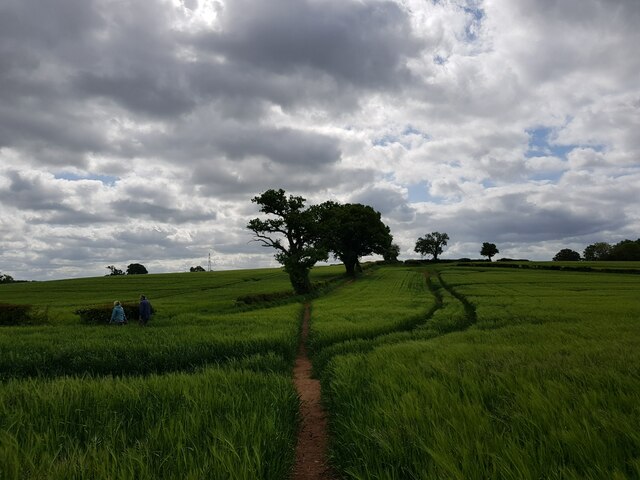
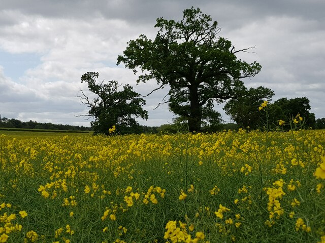
For outdoor enthusiasts, Doverdale offers ample opportunities to explore the surrounding countryside. The Teme Valley offers scenic hiking trails, perfect for a leisurely walk or a more challenging trek. The valley is also renowned for its fishing spots, attracting anglers from near and far.
Doverdale benefits from its proximity to nearby towns and cities, such as Worcester and Droitwich Spa, where residents can access a wider range of services and amenities. The village's location also provides easy access to major road networks, making it convenient for commuters.
In summary, Doverdale is a charming village in Worcestershire that offers a peaceful and rural lifestyle. With its rich history, beautiful landscapes, and close-knit community, it is an ideal place for those seeking a slower pace of life in a picturesque setting.
If you have any feedback on the listing, please let us know in the comments section below.
Doverdale Images
Images are sourced within 2km of 52.292243/-2.2091201 or Grid Reference SO8566. Thanks to Geograph Open Source API. All images are credited.
Doverdale is located at Grid Ref: SO8566 (Lat: 52.292243, Lng: -2.2091201)
Administrative County: Worcestershire
District: Wychavon
Police Authority: West Mercia
What 3 Words
///texted.assembles.ambushes. Near Hartlebury, Worcestershire
Nearby Locations
Related Wikis

Doverdale
Doverdale is a small village and civil parish in Worcestershire, England, to the west of Droitwich. It has a parish church. Doverdale Manor is one of largest...

Dunhampton
Dunhampton is a village in Worcestershire, England.

Snead's Green
Snead's Green, sometimes written Sneads Green, is an area of Droitwich Spa, Worcestershire, England.Francis Moule, of Snead's Green House, sold the manorial...

Ombersley and Doverdale
Ombersley and Doverdale is an area in Wychavon district, Worcestershire, England served by a single parish council but comprising the two separate civil...

Cutnall Green Halt railway station
Cutnall Green Halt was a railway station in Worcestershire, England, serving the nearby village of Hampton Lovett on the Oxford, Worcester and Wolverhampton...
Ombersley
Ombersley is a village and civil parish in Wychavon district, in the county of Worcestershire, England. The parish includes the hamlet of Holt Fleet,...

Westwood House
Westwood House is a stately home, near Droitwich, Worcestershire, England. It has been subdivided into twelve self-contained apartments. The house has...

Hampton Lovett
Hampton Lovett is a village and civil parish in the Wychavon district of the county of Worcestershire, England. It is just north of Droitwich. The church...
Nearby Amenities
Located within 500m of 52.292243,-2.2091201Have you been to Doverdale?
Leave your review of Doverdale below (or comments, questions and feedback).