Sinder Hope
Valley in Northumberland
England
Sinder Hope
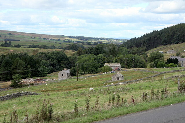
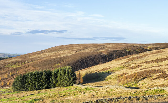
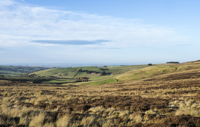
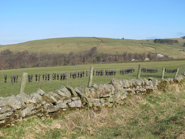
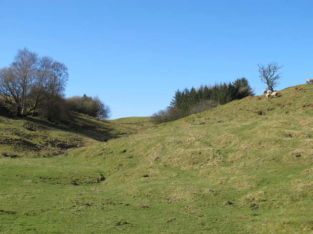
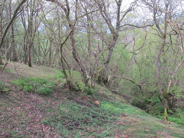
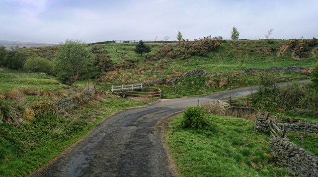
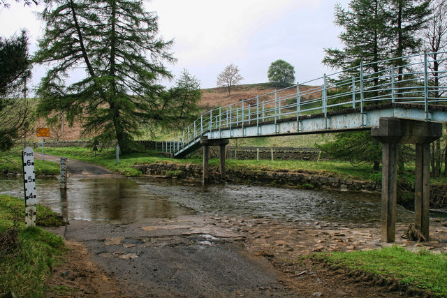
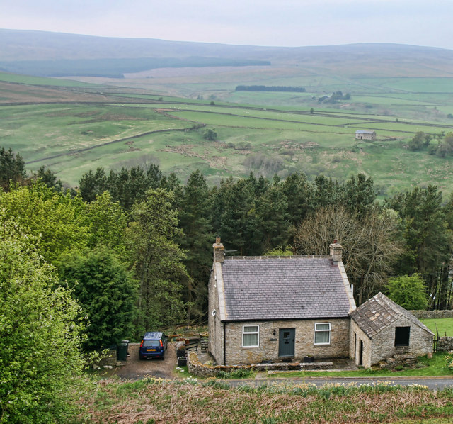
Sinder Hope is a small village located in the beautiful county of Northumberland, England. Nestled within the picturesque landscape of the Northumberland National Park, it lies in the heart of the stunning Sinderhope Valley. The village is surrounded by rolling hills, lush green meadows, and breathtaking panoramic views.
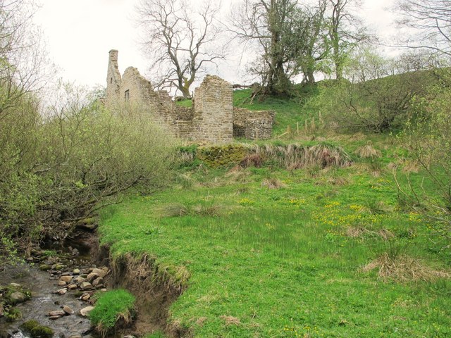
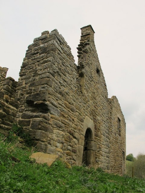
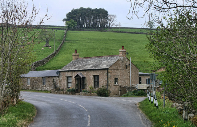
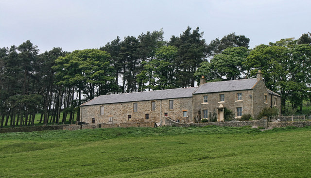
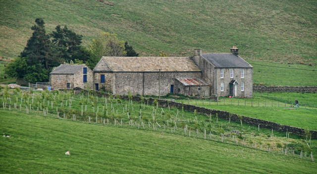
With a population of around 150 residents, Sinder Hope exudes a tranquil and close-knit community atmosphere. The village is known for its charming stone-built houses that reflect the area's rich history and traditional architectural style. Many of these buildings date back several centuries and add to the village's unique character.
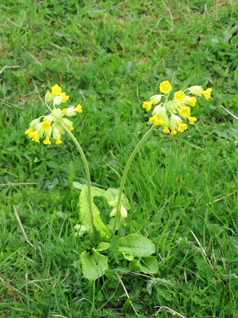
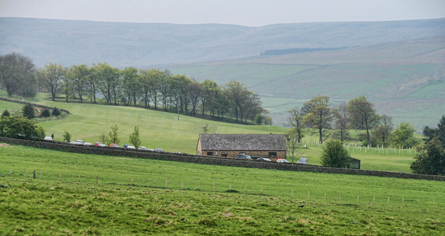
Sinder Hope is surrounded by an abundance of natural beauty and offers a range of outdoor activities for residents and visitors alike. Hiking enthusiasts can explore the nearby Pennine Way, a long-distance footpath that traverses the stunning landscape of the North Pennines. The village is also a popular destination for birdwatching, with various species of birds, including curlews and peregrine falcons, frequently spotted in the area.
Despite its small size, Sinder Hope boasts a vibrant community spirit. The village is home to a local pub, where residents and visitors can enjoy a drink and a meal while soaking in the picturesque views. The nearby market town of Hexham provides essential amenities such as shops, schools, and healthcare facilities, ensuring that residents have easy access to everything they need.
In summary, Sinder Hope is a charming village nestled in the Sinderhope Valley of Northumberland. With its stunning natural surroundings and welcoming community, it offers a peaceful and idyllic setting for residents and visitors to enjoy.
If you have any feedback on the listing, please let us know in the comments section below.
Sinder Hope Images
Images are sourced within 2km of 54.860379/-2.2313362 or Grid Reference NY8551. Thanks to Geograph Open Source API. All images are credited.


Sinder Hope is located at Grid Ref: NY8551 (Lat: 54.860379, Lng: -2.2313362)
Unitary Authority: Northumberland
Police Authority: Northumbria
What 3 Words
///proclaims.round.mixed. Near Haydon Bridge, Northumberland
Nearby Locations
Related Wikis

Sinderhope
Sinderhope is a hamlet situated on the east Allen Valley in south-west Northumberland. The population is spread over farms in an area approximately 25...

Acton, Northumberland
Acton is a small hamlet in Northumberland, north-east England, about 3 miles (5 km) south of Allendale Town. Acton is usually Anglo-Saxon Old English...

Hexhamshire Moors
Hexhamshire Moors is a Site of Special Scientific Interest covering an extensive area of moorland in the Wear Valley district of north-west County Durham...

Allendale, Northumberland
Allendale, often marked on maps as Allendale Town, is a village and civil parish in south west Northumberland, England. It is located within the North...

Museum of Classic Sci-Fi
The Museum of Classic Sci-Fi is in Allendale, Northumberland in England. The museum opened in 2018 and houses a collection of more than 200 props, costumes...
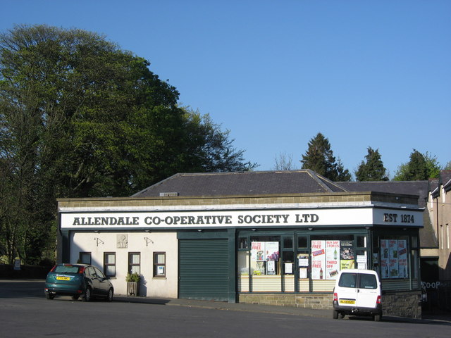
Allendale Co-operative Society
Allendale Co-operative Society is a small consumer co-operative in the village of Allendale, Northumberland, England. Founded in 1874 as the Allendale...

Allendale Moors
Allendale Moors is a Site of Special Scientific Interest (SSSI) in Northumberland, England. The upland moorland ridge site is listed for its heath, flush...

Allendale railway station
Allendale railway station was the terminus of the single track branch of the Hexham and Allendale Railway, in north east England. The line connected villages...
Nearby Amenities
Located within 500m of 54.860379,-2.2313362Have you been to Sinder Hope?
Leave your review of Sinder Hope below (or comments, questions and feedback).