Bleakthwaite
Valley in Yorkshire Richmondshire
England
Bleakthwaite
Bleakthwaite is a small village nestled in the heart of the Yorkshire Valley, located in the northern region of England. Situated amidst picturesque rolling hills and surrounded by lush greenery, it offers breathtaking views and a tranquil atmosphere. With a population of around 500 residents, Bleakthwaite exudes a sense of close-knit community and traditional Yorkshire charm.
The village is known for its rich history, dating back to the medieval era. Visitors can explore the ancient St. Mary's Church, a beautiful stone structure that stands as a testament to the village's past. The church is adorned with intricate stained glass windows and houses several historical artifacts.
Bleakthwaite offers a range of amenities to cater to both residents and tourists. The village has a cozy pub, The Bleakthorn Inn, which serves traditional Yorkshire cuisine and locally brewed ales. Additionally, there are a few small shops where visitors can purchase locally sourced produce and handmade crafts.
Nature enthusiasts will be delighted by the breathtaking landscapes that surround Bleakthwaite. The village serves as a gateway to the stunning Yorkshire Dales National Park, offering endless opportunities for hiking, cycling, and exploring the rugged beauty of the area. The nearby River Bleak provides a tranquil spot for picnicking or fishing.
Overall, Bleakthwaite is a hidden gem in Yorkshire, offering a peaceful retreat from the busyness of modern life. Its natural beauty, historical significance, and warm community spirit make it a must-visit destination for anyone seeking an authentic Yorkshire experience.
If you have any feedback on the listing, please let us know in the comments section below.
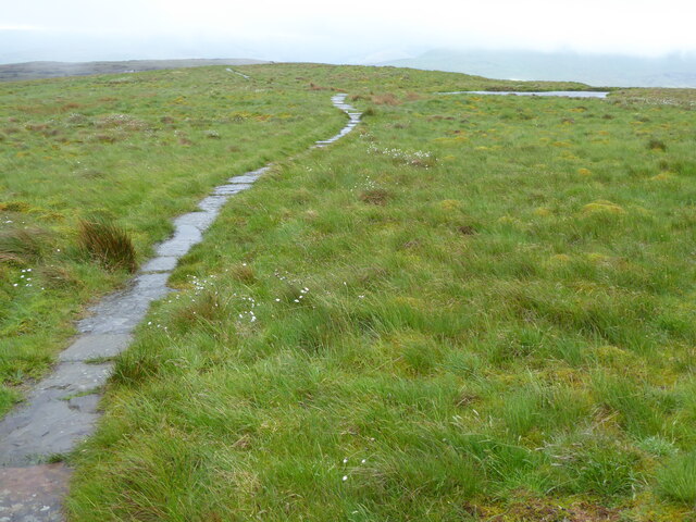
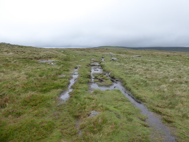
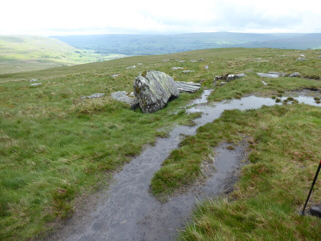
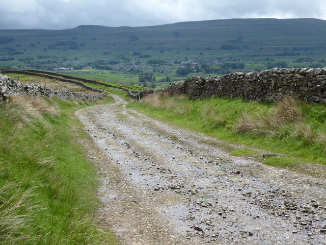
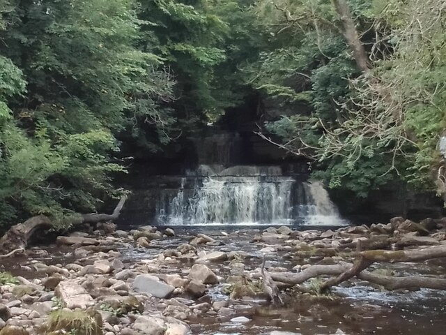
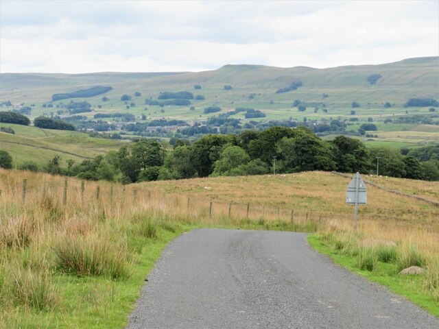
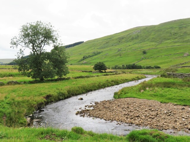
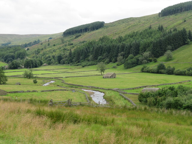
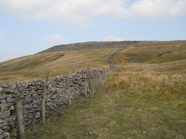
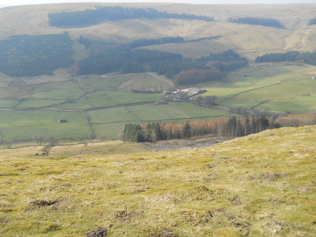
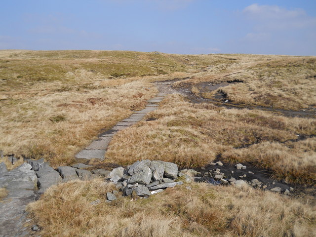
Bleakthwaite Images
Images are sourced within 2km of 54.334864/-2.2292036 or Grid Reference SD8593. Thanks to Geograph Open Source API. All images are credited.


Bleakthwaite is located at Grid Ref: SD8593 (Lat: 54.334864, Lng: -2.2292036)
Division: North Riding
Administrative County: North Yorkshire
District: Richmondshire
Police Authority: North Yorkshire
What 3 Words
///dollar.index.reclined. Near Kirkby Stephen, Cumbria
Nearby Locations
Related Wikis

Cotter Force
Cotter Force is a small waterfall on Cotterdale Beck, a minor tributary of the River Ure, near the mouth of Cotterdale, a side dale in Wensleydale, North...

Cotterdale
Cotterdale is a small side dale and hamlet on the north side of Wensleydale in North Yorkshire, England. The dale lies to the west of Great Shunner Fell...

Hardraw Force
Hardraw Force (OS grid ref: SD869917) is a waterfall on Hardraw Beck in Hardraw Scar, a wooded ravine just outside the hamlet of Hardraw, 0.9 miles (1...

St Mary and St John's Church, Hardraw
St Mary and St John's Church, Hardraw (also Hardrow) is a Grade II listed parish church in the Church of England: 181 in Hardraw, North Yorkshire. �...
Nearby Amenities
Located within 500m of 54.334864,-2.2292036Have you been to Bleakthwaite?
Leave your review of Bleakthwaite below (or comments, questions and feedback).