Grooves Cleugh
Valley in Durham
England
Grooves Cleugh
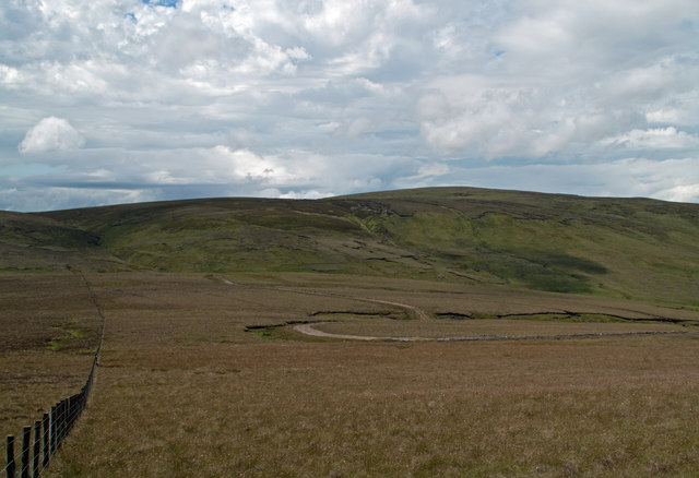
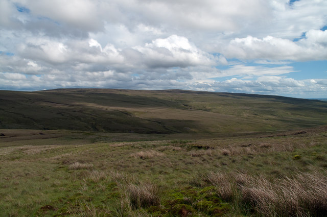
Grooves Cleugh is a stunning valley located in County Durham, England. Situated within the larger area of Weardale, this picturesque landscape is renowned for its natural beauty and diverse wildlife. The cleugh, or valley, is formed by the flow of the Grooves Burn, a small but significant river that meanders through the area.
The valley is characterized by its steep slopes and rolling hills, offering visitors breathtaking views of the surrounding countryside. Lush green meadows, dotted with wildflowers, provide a vibrant backdrop to the tranquil river. Grooves Cleugh is particularly popular among hikers and nature enthusiasts, who come to explore the various walking trails that crisscross the area.
The cleugh is home to a rich and diverse range of wildlife, including numerous bird species, small mammals, and insects. Birdwatchers can expect to spot species such as black grouse, curlew, and red grouse, while otters and badgers are often seen by those lucky enough to observe them.
The valley is also steeped in history, with evidence of human habitation dating back thousands of years. Ruins of old farmhouses and mining structures can be found scattered throughout the area, providing a glimpse into the region's past.
Overall, Grooves Cleugh offers a unique blend of natural beauty, wildlife, and historical significance. Whether it's a leisurely stroll along the riverbank or an adventurous hike up the hills, visitors are sure to be captivated by the charm and tranquility of this hidden gem in Durham.
If you have any feedback on the listing, please let us know in the comments section below.
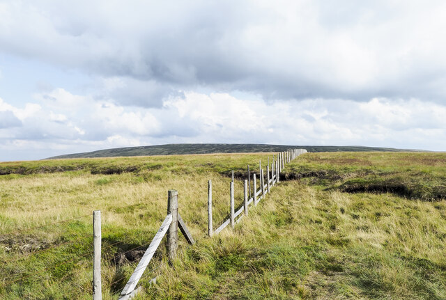
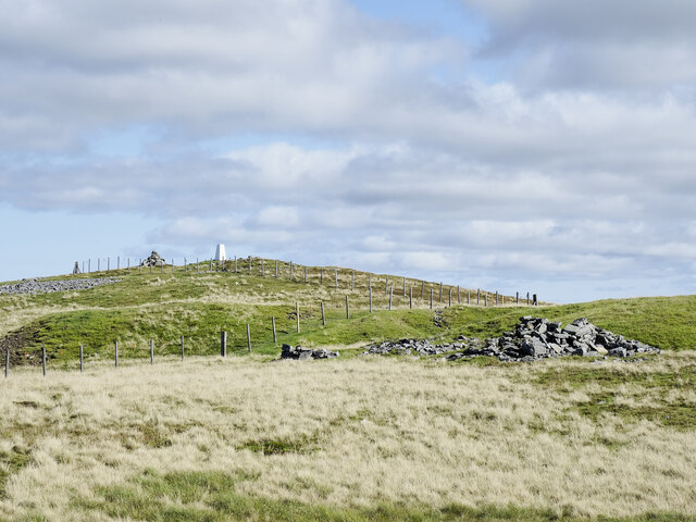
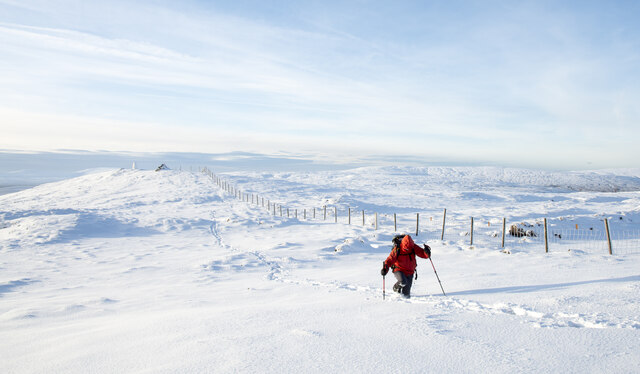
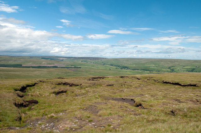
Grooves Cleugh Images
Images are sourced within 2km of 54.720636/-2.2468242 or Grid Reference NY8436. Thanks to Geograph Open Source API. All images are credited.


Grooves Cleugh is located at Grid Ref: NY8436 (Lat: 54.720636, Lng: -2.2468242)
Unitary Authority: County Durham
Police Authority: Durham
What 3 Words
///deflated.menswear.exits. Near Newbiggin, Co. Durham
Nearby Locations
Related Wikis

Far High House Meadows
Far High House Meadows is a Site of Special Scientific Interest in Upper Weardale in west County Durham, England. It consists of three fields, located...
Harthope Moss
Harthope Moss, also known as Chapel Fell (elevation 627 m; 2,057 ft) is a mountain pass in the English Pennines. The pass divides Weardale to the north...
Burnhope Reservoir railway
The Burnhope Reservoir railway was an industrial narrow gauge railway built to serve the construction of Burnhope Reservoir near Weardale. An extensive...

New House, County Durham
New House or Newhouse is a hamlet in the civil parish of Stanhope, in County Durham, England. It lies on the north side of the River Wear, opposite Ireshopeburn...
Nearby Amenities
Located within 500m of 54.720636,-2.2468242Have you been to Grooves Cleugh?
Leave your review of Grooves Cleugh below (or comments, questions and feedback).