Frances' Cleugh

Valley in Durham

England

Frances' Cleugh

Fence line on ridge of Noon Hill Noon Hill has no true summit and must have been named because of its appearance from the valley; it is in fact just a ridge of Chapel Fell.
Chapel Fell is the cloud-shadowed band on the horizon.
Fence line on ridge of Noon Hill Credit: Trevor Littlewood

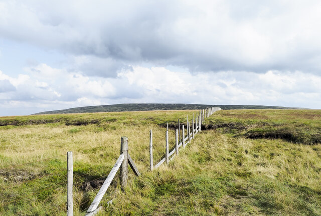
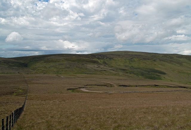
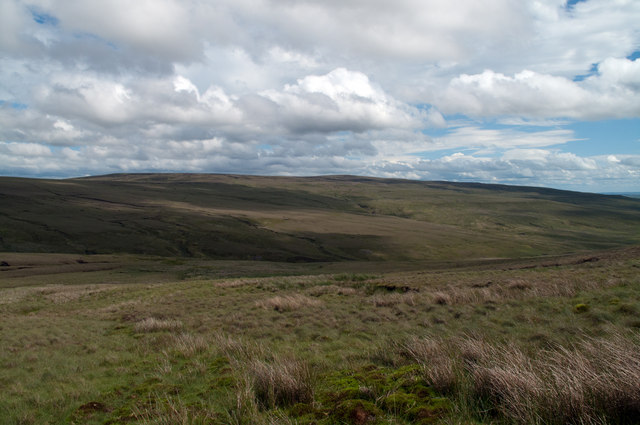
Frances' Cleugh is a picturesque valley located in Durham, a county in the northeastern part of England. Situated near the village of Blanchland, this stunning landscape is renowned for its natural beauty and tranquil atmosphere.

The valley is named after Frances, a local landowner, who owned the land during the 18th century. It is characterized by a meandering river that runs through the center, known as the Cleugh Burn. The river flows gently, creating small cascades and pools along its course, adding to the charm of the area.

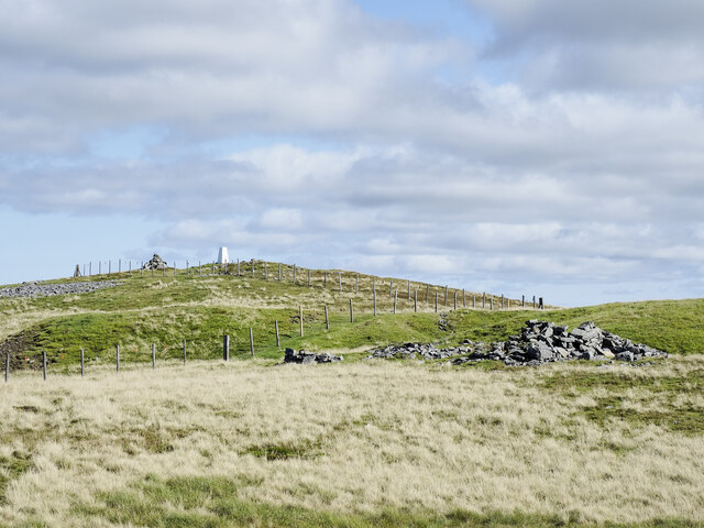
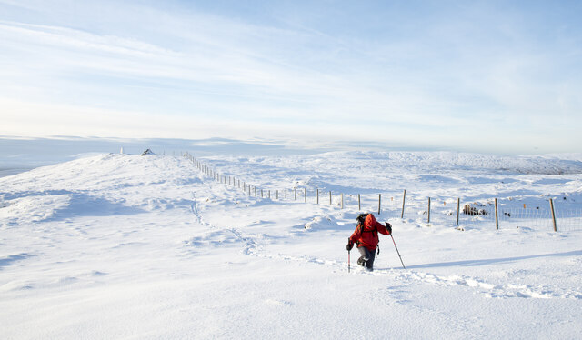
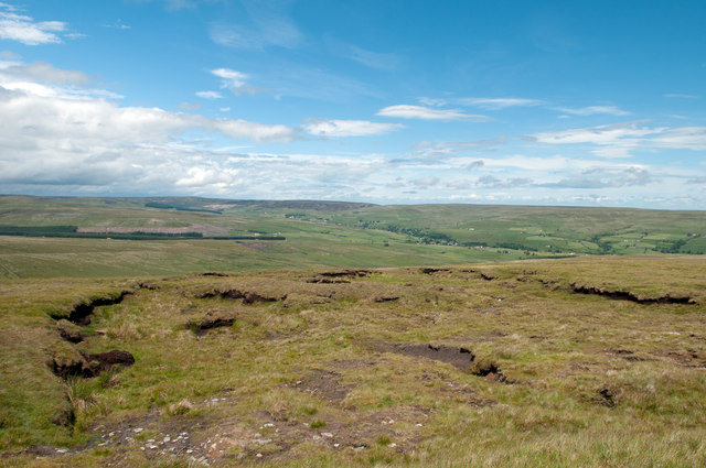
The surrounding landscape of Frances' Cleugh is dominated by rolling hills and lush greenery, making it an ideal spot for nature enthusiasts and hikers. Visitors can explore the numerous walking trails that crisscross the valley, offering breathtaking views of the countryside and opportunities to spot local wildlife.

One of the highlights of Frances' Cleugh is the abundance of wildflowers that bloom during the spring and summer months, creating a vibrant tapestry of colors. The valley is also home to a variety of bird species, including woodpeckers and kingfishers, making it a haven for birdwatchers.

In addition to its natural beauty, Frances' Cleugh is steeped in history. The ruins of a medieval chapel can be found in the valley, adding an air of mystery and intrigue. The tranquil setting and historical remnants make Frances' Cleugh a popular destination for those seeking peace and tranquility away from the bustling city life.

If you have any feedback on the listing, please let us know in the comments section below.

Frances' Cleugh Images

Images are sourced within 2km of 54.713816/-2.2506632 or Grid Reference NY8335. Thanks to Geograph Open Source API. All images are credited.

Fence line on ridge of Noon Hill Noon Hill has no true summit and must have been named because of its appearance from the valley; it is in fact just a ridge of Chapel Fell.
Chapel Fell is the cloud-shadowed band on the horizon.
Fence line on ridge of Noon Hill
Noon Hill has no true summit and must have been named because of its appearance from the valley; it is in fact just a ridge of Chapel Fell. Chapel Fell is the cloud-shadowed band on the horizon.
Old railway goods van at lane end The view is from the northern slope of Noon Hill over the valley of Ires Hope, and beyond to the Wear valley. The van is at the end of a walled lane starting at the village, Ireshopeburn and ending at the wall.
Railway vans of the type in the image are regularly found in use as small farm stores; many of them are now so old that they're falling apart or have done so already.
Old railway goods van at lane end
The view is from the northern slope of Noon Hill over the valley of Ires Hope, and beyond to the Wear valley. The van is at the end of a walled lane starting at the village, Ireshopeburn and ending at the wall. Railway vans of the type in the image are regularly found in use as small farm stores; many of them are now so old that they're falling apart or have done so already.
Summit of High Field The summit area as seen from west along the watershed fence line. A fine location, dry underfoot and, unlike many moorland hills, no doubt about the summit location.
Summit of High Field
The summit area as seen from west along the watershed fence line. A fine location, dry underfoot and, unlike many moorland hills, no doubt about the summit location.
Stone-built structure of north side of High Field Tempting to call this a ruin but perhaps it's not. It's certainly in a rickety state but possibly intact. Its purpose is unknown being too small to be used as a pen for any reasonable number of sheep.
Chapel Fell is the distant hill.
Stone-built structure of north side of High Field
Tempting to call this a ruin but perhaps it's not. It's certainly in a rickety state but possibly intact. Its purpose is unknown being too small to be used as a pen for any reasonable number of sheep. Chapel Fell is the distant hill.
New shooting hut on Ireshope Moor A shooting hut has stood at the site for many years.
The photographer first knew of a building at the location without a door and open for use by local sheep!
Some time ago that building was renovated, the hut was secured and in use by the estate for grouse shooting.
And then, just over a year ago, a visit found a new hut under construction - <a title="https://www.geograph.org.uk/photo/6872590" href="https://www.geograph.org.uk/photo/6872590">Link</a> .
The new hut is now complete.
Chapel Fell is the distant moorland hill.
New shooting hut on Ireshope Moor
A shooting hut has stood at the site for many years. The photographer first knew of a building at the location without a door and open for use by local sheep! Some time ago that building was renovated, the hut was secured and in use by the estate for grouse shooting. And then, just over a year ago, a visit found a new hut under construction - Link . The new hut is now complete. Chapel Fell is the distant moorland hill.
Shooting hut on Ireshope Moor at the end of 1996 A good covering of snow on the moor which is easily accessed via Grasshill Causeway.
The building in view has been demolished and a new hut has replaced it - <a title="https://www.geograph.org.uk/photo/7284713" href="https://www.geograph.org.uk/photo/7284713">Link</a> .
Noon Hill is the large white expanse in the distance. Chapel Fell and Fendrith Hill are further away and largely hidden by cloud.
Shooting hut on Ireshope Moor at the end of 1996
A good covering of snow on the moor which is easily accessed via Grasshill Causeway. The building in view has been demolished and a new hut has replaced it - Link . Noon Hill is the large white expanse in the distance. Chapel Fell and Fendrith Hill are further away and largely hidden by cloud.
Hill walker approaching shooting hut The hut is on Ireshope Moor at an altitude of 630 metres making 1t one of the highest buildings in England. There's been a building at the location for a long time but this one was newly built in 2021 - <a title="https://www.geograph.org.uk/photo/6872590" href="https://www.geograph.org.uk/photo/6872590">Link</a> - replacing the earlier one. Needless to say there's no public access to the hut: it's well secured.
Hill walker approaching shooting hut
The hut is on Ireshope Moor at an altitude of 630 metres making 1t one of the highest buildings in England. There's been a building at the location for a long time but this one was newly built in 2021 - Link - replacing the earlier one. Needless to say there's no public access to the hut: it's well secured.
Peat banks under snow on Ireshope Moor Ireshope Moor is at the head of the valley of the Ireshope Burn which is plainly seen in the image.
Beyond the valley head is the snowed expanse of Noon Hill and more distantly, two hills on the watershed between the Wear and Tees valleys: Chapel Fell and Fendrith Hill. The summit snows of those hills appear to merge with the paleness of the farthest sky.
Peat banks under snow on Ireshope Moor
Ireshope Moor is at the head of the valley of the Ireshope Burn which is plainly seen in the image. Beyond the valley head is the snowed expanse of Noon Hill and more distantly, two hills on the watershed between the Wear and Tees valleys: Chapel Fell and Fendrith Hill. The summit snows of those hills appear to merge with the paleness of the farthest sky.
Hill walker returning from summit of Great Stony Hill The hill's summit is along the fence line where there's a cairn and a trig point.
The climber is returning to the hill road crossing between Weardale and Teesdale at its high point, Coldberry End.
Hill walker returning from summit of Great Stony Hill
The hill's summit is along the fence line where there's a cairn and a trig point. The climber is returning to the hill road crossing between Weardale and Teesdale at its high point, Coldberry End.
Recovering ground following bog burst on Noon Hill A bog burst occurs when water pressure beneath a peat surface causes it to  rupture. The photographer first visited this location perhaps 30 years ago when the feature was new, the substrate was exposed and peat blocks littered the slope below. Peat blocks still lie on that slope but the once bare 'earth' has partly revegetated; clearly it's a slow process here at around 2000 feet above sea level.
For another north Pennine example of a bog burst see - <a title="https://www.geograph.org.uk/photo/1930935" href="https://www.geograph.org.uk/photo/1930935">Link</a>
For a (very) technical discussion see <span class="nowrap"><a title="http://www.scotland.gov.uk/Publications/2006/12/21162303/2" rel="nofollow ugc noopener" href="http://www.scotland.gov.uk/Publications/2006/12/21162303/2">Link</a><img style="margin-left:2px;" alt="External link" title="External link - shift click to open in new window" src="https://s1.geograph.org.uk/img/external.png" width="10" height="10"/></span>
Recovering ground following bog burst on Noon Hill
A bog burst occurs when water pressure beneath a peat surface causes it to rupture. The photographer first visited this location perhaps 30 years ago when the feature was new, the substrate was exposed and peat blocks littered the slope below. Peat blocks still lie on that slope but the once bare 'earth' has partly revegetated; clearly it's a slow process here at around 2000 feet above sea level. For another north Pennine example of a bog burst see - Link For a (very) technical discussion see LinkExternal link
Summit area of Noon Hill Noon Hill is the name applied to the west end of a ridge of high moorland on the south side of Weardale, west of Chapel Fell; it has very little identity as a hill in its own right and is in fact really just the west ridge of Chapel Fell, which forms the distant skyline.
Summit area of Noon Hill
Noon Hill is the name applied to the west end of a ridge of high moorland on the south side of Weardale, west of Chapel Fell; it has very little identity as a hill in its own right and is in fact really just the west ridge of Chapel Fell, which forms the distant skyline.
Moorland declining westwards from Noon Hill From Noon Hill the Tees/Wear watershed line descends to the west crossing very poorly drained ground. The estate or farm road seen is a recent, unmapped and unwelcome addition to this desolate piece of land. The distant grassy dome rises to 708m and is known by various names ; High Field, Coldberry End, Great Stony Hill......
Moorland declining westwards from Noon Hill
From Noon Hill the Tees/Wear watershed line descends to the west crossing very poorly drained ground. The estate or farm road seen is a recent, unmapped and unwelcome addition to this desolate piece of land. The distant grassy dome rises to 708m and is known by various names ; High Field, Coldberry End, Great Stony Hill......
Ground descending to head of Langdon Beck Langdon Beck is a side valley of upper Teesdale though it actually descends to make a confluence with Harwood Beck. The view is beyond the valley head to the ridge connecting Chapel Fell and Fendrith Hill, from the upper eastern slope of Three Pikes.
Ground descending to head of Langdon Beck
Langdon Beck is a side valley of upper Teesdale though it actually descends to make a confluence with Harwood Beck. The view is beyond the valley head to the ridge connecting Chapel Fell and Fendrith Hill, from the upper eastern slope of Three Pikes.
Old mineral workings on Grasshill Common Old mineral workings (for lead?) dot the ridge which separates Weardale and Teesdale. A rough road from Ireshopeburn to Grass Hill Farm used to serve these workings.
Old mineral workings on Grasshill Common
Old mineral workings (for lead?) dot the ridge which separates Weardale and Teesdale. A rough road from Ireshopeburn to Grass Hill Farm used to serve these workings.
Slopes of Causeway Hill The bleak high ridge which separates Weardale from Teesdale.
Slopes of Causeway Hill
The bleak high ridge which separates Weardale from Teesdale.
Grasshill Causeway A very rough road which runs from Grass Hill Farm at the head of Teesdale over to Ireshopeburn in Weardale. At one time, the road served the lead mines in the vicinity. At 674 metres the summit is considerably higher than any tarmac road in England. The cairn on Coldberry End can be seen on the skyline.
Grasshill Causeway
A very rough road which runs from Grass Hill Farm at the head of Teesdale over to Ireshopeburn in Weardale. At one time, the road served the lead mines in the vicinity. At 674 metres the summit is considerably higher than any tarmac road in England. The cairn on Coldberry End can be seen on the skyline.
Coldberry End and Grasshill Causeway A very rough road which runs from Ireshopeburn in Weardale over to Grass Hill Farm at the head of Teesdale. At one time, the road served the lead mines in the vicinity. At 674 metres the summit is considerably higher than any tarmac road in England.
Coldberry End and Grasshill Causeway
A very rough road which runs from Ireshopeburn in Weardale over to Grass Hill Farm at the head of Teesdale. At one time, the road served the lead mines in the vicinity. At 674 metres the summit is considerably higher than any tarmac road in England.
Grasshill Causeway A very rough road which runs from Grass Hill Farm at the head of Teesdale over to Ireshopeburn in Weardale. At one time, the road served the lead mines in the vicinity. In the middle distance can be seen the roof of the shooting hut which services the grouse butts on Ireshope Moor.
Grasshill Causeway
A very rough road which runs from Grass Hill Farm at the head of Teesdale over to Ireshopeburn in Weardale. At one time, the road served the lead mines in the vicinity. In the middle distance can be seen the roof of the shooting hut which services the grouse butts on Ireshope Moor.
Show me another place!

Frances' Cleugh is located at Grid Ref: NY8335 (Lat: 54.713816, Lng: -2.2506632)

Unitary Authority: County Durham

Police Authority: Durham

What 3 Words

///expansion.chatted.repaid. Near Newbiggin, Co. Durham

Related Wikis

Harthope Moss

Harthope Moss, also known as Chapel Fell (elevation 627 m; 2,057 ft) is a mountain pass in the English Pennines. The pass divides Weardale to the north...

Far High House Meadows

Far High House Meadows is a Site of Special Scientific Interest in Upper Weardale in west County Durham, England. It consists of three fields, located...

Burnhope Reservoir railway

The Burnhope Reservoir railway was an industrial narrow gauge railway built to serve the construction of Burnhope Reservoir near Weardale. An extensive...

Upper Teesdale

Upper Teesdale is a Site of Special Scientific Interest (SSSI) in the west County Durham, England. It encompasses an extensive upland area that includes...

Harwood, County Durham

Harwood is a small valley and village near the head of Teesdale. Harwood Beck is a tributary of the River Tees in County Durham which forms a short valley...

Forest and Frith

Forest and Frith is a civil parish in the County Durham unitary authority, in the ceremonial county of Durham, England. In the 2011 census it had a population...

New House, County Durham

New House or Newhouse is a hamlet in the civil parish of Stanhope, in County Durham, England. It lies on the north side of the River Wear, opposite Ireshopeburn...

Ireshopeburn

Ireshopeburn ( EYE-sup-burn ) is a village in the civil parish of Stanhope, in County Durham, England. It is situated on the south side of Weardale, between...

Nearby Amenities

Located within 500m of 54.713816,-2.2506632
Pencilcleugh Level
Archaeological Site: mineral_extraction
Historic: mine_level
Note: exact location uncertain
Source: NLS-OS-NatGrid-110k-1940-60
Lat/Long: 54.7151024/-2.2535448
The data included in this document is from www.openstreetmap.org. The data is made available under ODbL.

Have you been to Frances' Cleugh?

Leave your review of Frances' Cleugh below (or comments, questions and feedback).