King's Bottom
Valley in Wiltshire
England
King's Bottom

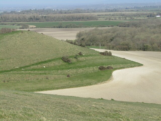
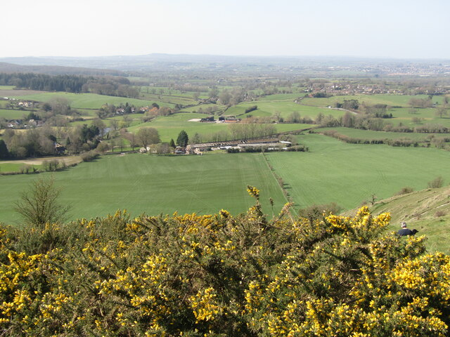
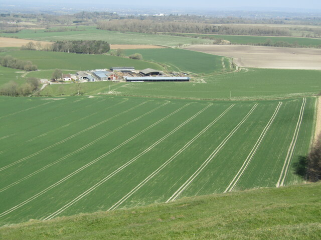
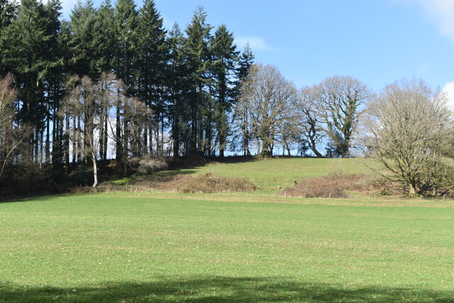
King's Bottom, located in the county of Wiltshire, England, is a picturesque valley known for its natural beauty and historical significance. Nestled in the heart of the South Downs, the valley stretches for approximately 3 miles, offering breathtaking views of rolling hills, lush green meadows, and tranquil streams.
The name "King's Bottom" is believed to have originated from the time when the area was used as a hunting ground by English monarchs. The valley is rich in flora and fauna, with a diverse range of plant species and wildlife. It is a haven for nature enthusiasts and birdwatchers, with numerous walking trails and bird hides that allow visitors to explore and appreciate the local biodiversity.
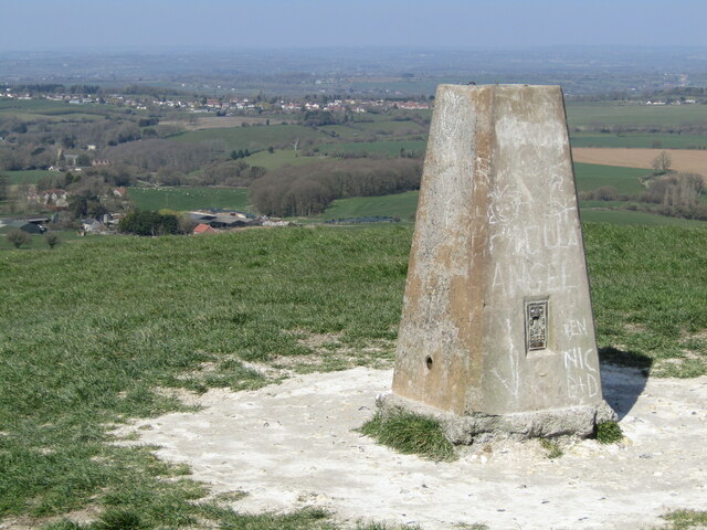
In addition to its natural attractions, King's Bottom boasts a rich historical heritage. The valley is dotted with ancient landmarks, including Bronze Age burial mounds and Iron Age hillforts, which serve as reminders of the area's prehistoric past. Archaeological excavations have also unearthed Roman artifacts, suggesting that the valley was inhabited during the Roman occupation of Britain.
Today, King's Bottom is a popular destination for outdoor activities such as hiking, cycling, and picnicking. Its idyllic setting and tranquil atmosphere make it a favorite spot for locals and tourists alike. The valley also hosts various events throughout the year, including nature walks, cultural festivals, and historical reenactments, providing visitors with a unique and immersive experience.
Overall, King's Bottom, Wiltshire, is a captivating valley that combines natural beauty with a rich historical legacy, offering a memorable experience for all who visit.
If you have any feedback on the listing, please let us know in the comments section below.
King's Bottom Images
Images are sourced within 2km of 51.19362/-2.2417818 or Grid Reference ST8343. Thanks to Geograph Open Source API. All images are credited.


King's Bottom is located at Grid Ref: ST8343 (Lat: 51.19362, Lng: -2.2417818)
Unitary Authority: Wiltshire
Police Authority: Wiltshire
What 3 Words
///catchers.strength.gong. Near Corsley, Wiltshire
Nearby Locations
Related Wikis

St Mary's Church, Temple, Corsley
The Church of St Mary at Temple, Corsley, Wiltshire, England is a chapel-of-ease dating from the very early 20th century. It was commissioned and paid...
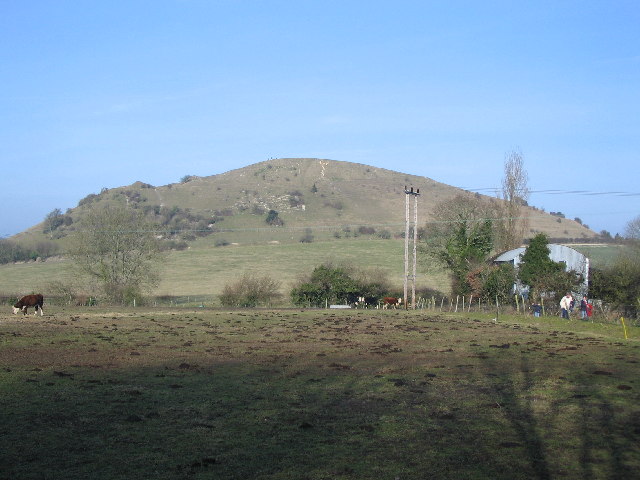
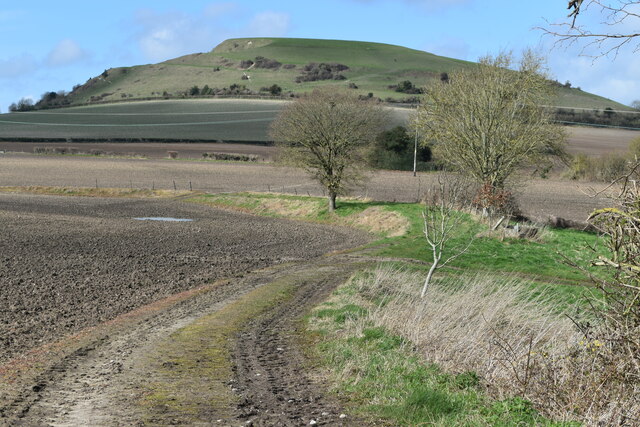
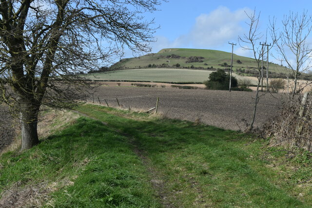
Cley Hill
Cley Hill (grid reference ST838449) is a prominent hill to the west of Warminster in Wiltshire, England. Its summit has a commanding view of the Wiltshire...
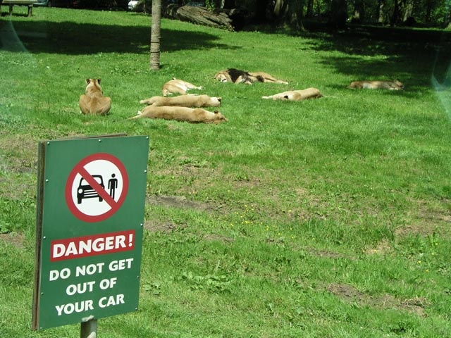
Longleat Safari and Adventure Park
Longleat Safari and Adventure Park in Wiltshire, England, was opened in 1966 as the world's first drive-through safari park outside Africa. == History... ==

Dunkerton Colliery Halt railway station
Dunkerton Colliery Halt railway station served the colliery near the village of Dunkerton, Somerset, England from 1911 to 1925 on the Bristol and North...
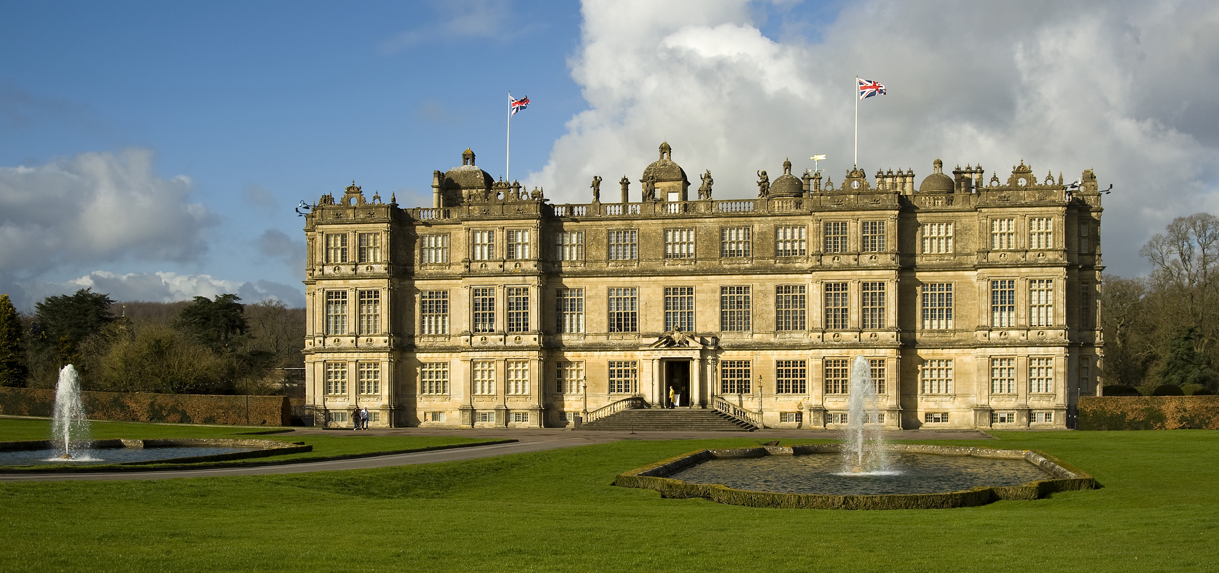
Longleat
Longleat is a stately home about 4 miles (7 km) west of Warminster in Wiltshire, England. A leading and early example of the Elizabethan prodigy house...
Longleat Priory
Longleat Priory was a priory near Warminster, Wiltshire, in the south of England. A short-lived priory was established and dissolved near to Longleat in...

Shearwater (lake)
Shearwater (or Shear Water) is a man-made freshwater lake near Crockerton village, about 2+1⁄4 miles (3.6 km) southwest of the town of Warminster in Wiltshire...

Corsley
Corsley is a hamlet and civil parish 3 miles (5 km) west of Warminster in Wiltshire, England. The parish is on the county border with Somerset; the Somerset...
Have you been to King's Bottom?
Leave your review of King's Bottom below (or comments, questions and feedback).