Sep Clough

Valley in Lancashire Burnley

England

Sep Clough

WWII Lancashire: Ghost Signs of the Home Front  (22) -
Emergency Water Supply, Hand Bridge, Todmorden Road, Burnley

"EWS Hatch"

A rare EWS sign of metal on the bridge over the River Calder. "EWS Hatch" may refer to a facility to obtain an emergency supply of water from the river (below the bridge).

<a href="https://www.geograph.org.uk/photo/6945367">SD8432 : WWII Lancashire: Ghost Signs of the Home Front  (23)</a>
WWII Lancashire: Ghost Signs of the Home Front (22) Credit: Mike Searle

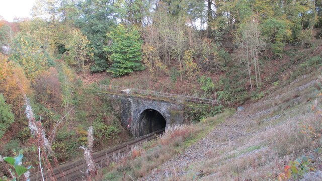
Sep Clough is a picturesque valley located in the county of Lancashire, England. Situated in the southern part of the county, it is known for its stunning natural beauty and serene surroundings. The valley is nestled between rolling hills and is characterized by its lush greenery, meandering streams, and dense woodlands.

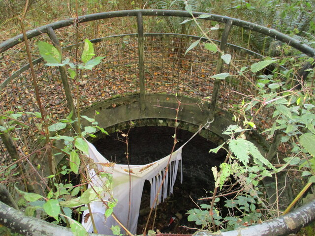
The main feature of Sep Clough is the Sep Brook, a small river that runs through the valley, adding to its charm and tranquility. The brook is lined with a variety of trees and plants, creating a vibrant and diverse ecosystem. The valley is also home to an abundance of wildlife, including various species of birds, mammals, and insects.

The area is a popular destination for nature enthusiasts and hikers, with numerous walking trails and paths that allow visitors to explore its scenic beauty. The valley offers breathtaking views at every turn, making it an ideal spot for photography and capturing the essence of nature.

In addition to its natural attractions, Sep Clough also boasts a rich history. There are remnants of old mills and quarries that once played a significant role in the local economy. These historical sites add an element of intrigue and provide a glimpse into the valley's industrial past.

Overall, Sep Clough in Lancashire is a hidden gem that offers a tranquil escape from the hustle and bustle of city life. Its natural beauty, diverse wildlife, and historical significance make it a must-visit destination for anyone seeking to immerse themselves in nature's wonders.

If you have any feedback on the listing, please let us know in the comments section below.
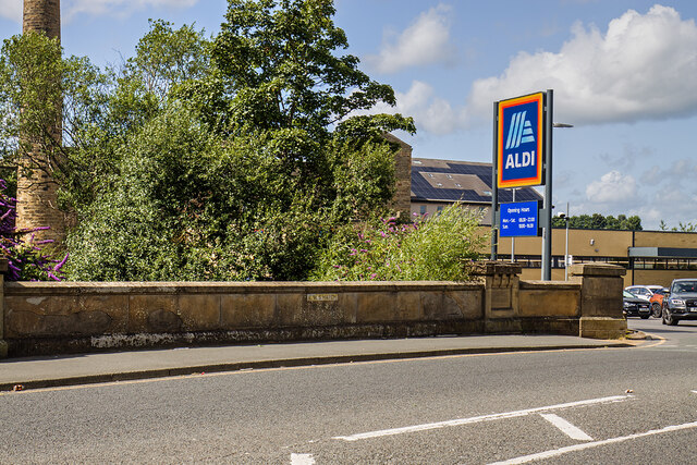
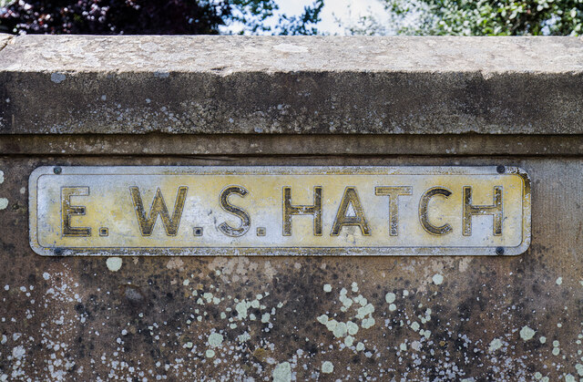
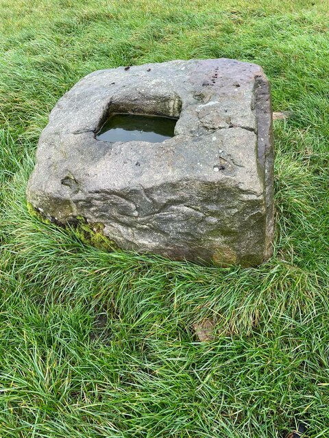
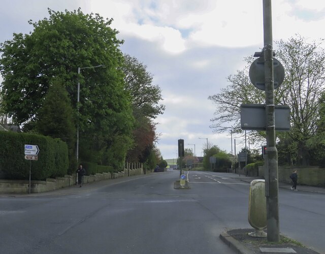
Sep Clough Images

Images are sourced within 2km of 53.77603/-2.257342 or Grid Reference SD8331. Thanks to Geograph Open Source API. All images are credited.

WWII Lancashire: Ghost Signs of the Home Front  (22) -
Emergency Water Supply, Hand Bridge, Todmorden Road, Burnley

"EWS Hatch"

A rare EWS sign of metal on the bridge over the River Calder. "EWS Hatch" may refer to a facility to obtain an emergency supply of water from the river (below the bridge).

<a href="https://www.geograph.org.uk/photo/6945367">SD8432 : WWII Lancashire: Ghost Signs of the Home Front  (23)</a>
WWII Lancashire: Ghost Signs of the Home Front (22)
- Emergency Water Supply, Hand Bridge, Todmorden Road, Burnley "EWS Hatch" A rare EWS sign of metal on the bridge over the River Calder. "EWS Hatch" may refer to a facility to obtain an emergency supply of water from the river (below the bridge). SD8432 : WWII Lancashire: Ghost Signs of the Home Front (23)
WWII Lancashire: Ghost Signs of the Home Front  (23) -
Emergency Water Supply,  Hand Bridge, Todmorden Road, Burnley

"EWS Hatch"

<a href="https://www.geograph.org.uk/photo/6945359">SD8432 : WWII Lancashire: Ghost Signs of the Home Front  (24)</a>
WWII Lancashire: Ghost Signs of the Home Front (23)
- Emergency Water Supply, Hand Bridge, Todmorden Road, Burnley "EWS Hatch" SD8432 : WWII Lancashire: Ghost Signs of the Home Front (24)
Old Wayside Cross in Habergham Eaves parish The Butter Cross, the base of a wayside cross. South of a public footpath in the middle of a field southwest of houses at the junction of the A646 and the A682 in Habergham Eaves parish. Grade II Listed <span class="nowrap"><a title="https://historicengland.org.uk/listing/the-list/list-entry/1274582" rel="nofollow ugc noopener" href="https://historicengland.org.uk/listing/the-list/list-entry/1274582">Link</a><img style="margin-left:2px;" alt="External link" title="External link - shift click to open in new window" src="https://s1.geograph.org.uk/img/external.png" width="10" height="10"/></span>.

Milestone Society National ID: LABU_HAB
Old Wayside Cross in Habergham Eaves parish
The Butter Cross, the base of a wayside cross. South of a public footpath in the middle of a field southwest of houses at the junction of the A646 and the A682 in Habergham Eaves parish. Grade II Listed LinkExternal link. Milestone Society National ID: LABU_HAB
The junction of Manchester Road and Rossendale Road
Rosegrove Lane in Burnley
Towneley Railway Tunnel The north portal
Towneley Railway Tunnel
The north portal
Beehive Coke Oven The charging hole decorated for Halloween
Beehive Coke Oven
The charging hole decorated for Halloween
Entrance to Burnley Bus Station
Bootleggers' sign Sign for the Bootleggers <a href="https://www.geograph.org.uk/photo/7258620">SD8432 : Bootleggers and Roy's Jewellers</a>.
Bootleggers' sign
Sign for the Bootleggers SD8432 : Bootleggers and Roy's Jewellers.
Boot Inn The Grade II listed <span class="nowrap"><a title="https://historicengland.org.uk/listing/the-list/list-entry/1244972?section=official-list-entry" rel="nofollow ugc noopener" href="https://historicengland.org.uk/listing/the-list/list-entry/1244972?section=official-list-entry">Link</a><img style="margin-left:2px;" alt="External link" title="External link - shift click to open in new window" src="https://s1.geograph.org.uk/img/external.png" width="10" height="10"/></span> Boot Inn dates from 1911. For a time it was a Yates Wine Lodge but is now a Wetherspoon's <a href="https://www.geograph.org.uk/photo/7256758">SD8432 : Sign of The Boot Inn</a>.
Boot Inn
The Grade II listed LinkExternal link Boot Inn dates from 1911. For a time it was a Yates Wine Lodge but is now a Wetherspoon's SD8432 : Sign of The Boot Inn.
Sign of The Boot Inn Sign for The Boot Inn.
Sign of The Boot Inn
Sign for The Boot Inn.
Yorkshire Street Aqueduct The west portal of the aqueduct for the Leeds and Liverpool Canal on its straight mile of embankment above the streets of Burnley
Yorkshire Street Aqueduct
The west portal of the aqueduct for the Leeds and Liverpool Canal on its straight mile of embankment above the streets of Burnley
Finsley Gate Wharf Renovations underway on the old depot buildings. A former dockyard on the Leeds and Liverpool Canal
Finsley Gate Wharf
Renovations underway on the old depot buildings. A former dockyard on the Leeds and Liverpool Canal
Manchester Road Canal Wharf View of the canopies of the central and north warehouses on the Leeds and Liverpool Canal
Manchester Road Canal Wharf
View of the canopies of the central and north warehouses on the Leeds and Liverpool Canal
White Lion The Grade II listed <span class="nowrap"><a title="https://historicengland.org.uk/listing/the-list/list-entry/1244973?section=official-list-entry" rel="nofollow ugc noopener" href="https://historicengland.org.uk/listing/the-list/list-entry/1244973?section=official-list-entry">Link</a><img style="margin-left:2px;" alt="External link" title="External link - shift click to open in new window" src="https://s1.geograph.org.uk/img/external.png" width="10" height="10"/></span> White Lion dates from 1910.

<a href="https://www.geograph.org.uk/photo/7257690">SD8432 : White Lion signage</a>.
White Lion
The Grade II listed LinkExternal link White Lion dates from 1910. SD8432 : White Lion signage.
White Lion signage Signage on the White Lion <a href="https://www.geograph.org.uk/photo/7257658">SD8432 : White Lion</a>.
White Lion signage
Signage on the White Lion SD8432 : White Lion.
Thwaites' The Swan Sign for the Swan Inn <a href="https://www.geograph.org.uk/photo/7258471">SD8432 : Swan Inn</a>.
Thwaites' The Swan
Sign for the Swan Inn SD8432 : Swan Inn.
P. Eastwood: Ghost sign On the gable end of the Swan Inn <a href="https://www.geograph.org.uk/photo/7258471">SD8432 : Swan Inn</a> is a preserved ghost sign for P. Eastwood. 

"P. EASTWOOD
(BURNLEY) LTD.
COACH & MOTOR
PROPRIETORS,
TOUR &
PRIVATE TRIPS
Etc."
P. Eastwood: Ghost sign
On the gable end of the Swan Inn SD8432 : Swan Inn is a preserved ghost sign for P. Eastwood. "P. EASTWOOD (BURNLEY) LTD. COACH & MOTOR PROPRIETORS, TOUR & PRIVATE TRIPS Etc."
Show me another place!

Sep Clough is located at Grid Ref: SD8331 (Lat: 53.77603, Lng: -2.257342)

Administrative County: Lancashire

District: Burnley

Police Authority: Lancashire

What 3 Words

///hits.dragon.caring. Near Burnley, Lancashire

Nearby Locations

Sep Clough Rose Hill

Related Wikis

Scott Park

Scott Park is a public park in Burnley, Lancashire. It covers 7.9 hectares (20 acres) and was opened in 1895. Located south of the town centre, attractions...

Hameldon Community College

Hameldon Community College was a mixed 11–16 comprehensive school located in Burnley, Lancashire, England. == History == The school opened in September...

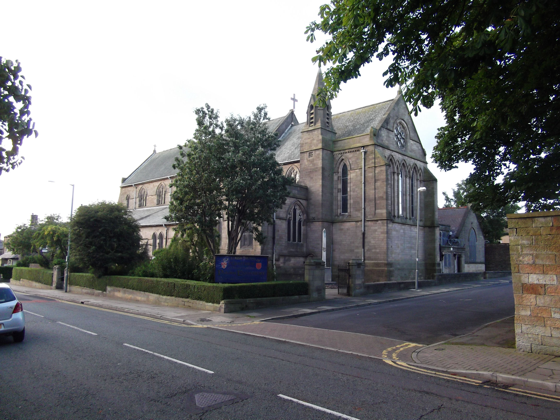
St Matthew's Church, Burnley

St Matthew's Church is in St Matthew's Street, Burnley, Lancashire, England. It is an active Anglican parish church in the diocese of Blackburn. The...

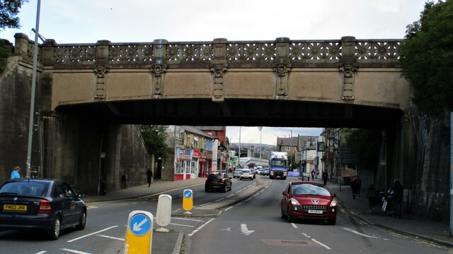
Burnley Manchester Road railway station

Burnley Manchester Road is the main railway station in Burnley, Lancashire, England. It is situated on the Calder Valley Line 24+1⁄2 miles (39.4 km) east...

Nearby Amenities

Located within 500m of 53.77603,-2.257342
Traffic Signals
Lat/Long: 53.7738753/-2.2564796
Created By: YahooApplet 1.0
Lat/Long: 53.7767764/-2.2622089
Created By: YahooApplet 1.0
Lat/Long: 53.7771858/-2.2623934
Created By: YahooApplet 1.0
Lat/Long: 53.7775245/-2.2624986
Created By: YahooApplet 1.0
Lat/Long: 53.778038/-2.2626917
Created By: YahooApplet 1.0
Lat/Long: 53.7736126/-2.2523599
Created By: YahooApplet 1.0
Lat/Long: 53.7736189/-2.252038
Created By: YahooApplet 1.0
Lat/Long: 53.7730061/-2.2573026
Rose Hill
Place: suburb
Source: npe
Lat/Long: 53.7774468/-2.2512558
Turning Circle
Lat/Long: 53.776028/-2.2636532
Turning Circle
Lat/Long: 53.7749966/-2.2632081
Turning Circle
Lat/Long: 53.7780509/-2.2618784
Turning Circle
Lat/Long: 53.7743918/-2.253505
Barrier: entrance
Lat/Long: 53.7778805/-2.2557363
Barrier: entrance
Lat/Long: 53.7781718/-2.2527227
Pub
The Rose and Crown
Addr City: Burnley
Addr Housenumber: 180
Addr Postcode: BB11 4HH
Addr Street: Manchester Road
Lat/Long: 53.7774601/-2.2537439
Traffic Signals
Lat/Long: 53.7739957/-2.2565089
Traffic Signals
Traffic Signals: signal
Lat/Long: 53.7737695/-2.2567434
Traffic Signals
Traffic Signals: signal
Lat/Long: 53.7739107/-2.2568775
Bus Stop
Woodcourt Avenue
Bus: yes
Public Transport: platform
Lat/Long: 53.776906/-2.263619
Bus Stop
Forfar Street
Bus: yes
Naptan AtcoCode: 2500LAA07228
Naptan NaptanCode: langwtpw
Public Transport: platform
Lat/Long: 53.7778474/-2.2627342
Bus Stop
Hanover Court
Bus: yes
Naptan AtcoCode: 2500LAA07437
Naptan NaptanCode: lanjpdpt
Public Transport: platform
Lat/Long: 53.7766116/-2.2620031
Bus Stop
Hanover Court
Bus: yes
Naptan AtcoCode: 2500LAA07227
Naptan NaptanCode: langwtpt
Public Transport: platform
Lat/Long: 53.7762565/-2.2618194
Bus Stop
Linton Drive
Bus: yes
Naptan AtcoCode: 2500LAA07436
Naptan NaptanCode: lanjpdpm
Public Transport: platform
Lat/Long: 53.7747573/-2.2603897
Bus Stop
Linton Drive
Bus: yes
Naptan AtcoCode: 2500LAA07435
Naptan NaptanCode: lanjpdpj
Public Transport: platform
Lat/Long: 53.7746387/-2.2603897
Bus Stop
Calcott Street
Bus: yes
Naptan AtcoCode: 2500IMG2865
Naptan NaptanCode: langjdjm
Public Transport: platform
Lat/Long: 53.7740093/-2.2587933
Bus Stop
Calcott Street
Bus: yes
Naptan AtcoCode: 2500IMG2864
Naptan NaptanCode: langjdjg
Public Transport: platform
Lat/Long: 53.7740867/-2.2587163
Bus Stop
Herkomer Avenue
Bus: yes
Naptan AtcoCode: 2500DCL521
Naptan NaptanCode: landmdjm
Public Transport: platform
Lat/Long: 53.7737006/-2.2547717
Bus Stop
Herkomer Avenue
Bus: yes
Naptan AtcoCode: 2500LAA07438
Naptan NaptanCode: lanjpdpw
Public Transport: platform
Lat/Long: 53.7737225/-2.2541031
Bus Stop
Reynolds Street
Bus: yes
Public Transport: platform
Lat/Long: 53.7736217/-2.2517895
Bus Stop
Reynolds Street
Bus: yes
Naptan AtcoCode: 2500413
Naptan NaptanCode: lanawgtd
Public Transport: platform
Lat/Long: 53.7737346/-2.2512581
Bus Stop
Gainsborough Avenue
Bus: yes
Naptan AtcoCode: 2500LAA08188
Naptan NaptanCode: lanjtwta
Public Transport: platform
Lat/Long: 53.7767148/-2.2514744
Bus Stop
Rosewood Avenue
Bus: yes
Naptan AtcoCode: 2500LAA15737
Naptan NaptanCode: lanjtdga
Public Transport: platform
Lat/Long: 53.7772829/-2.2526585
Crossing
Crossing: traffic_signals
Crossing Ref: pelican
Kerb: lowered
Tactile Paving: yes
Lat/Long: 53.7773011/-2.2542562
Crossing
Crossing: traffic_signals
Crossing Ref: pelican
Kerb: lowered
Tactile Paving: yes
Lat/Long: 53.7772755/-2.254179
Bus Stop
Rossendale Avenue
Bus: yes
Public Transport: platform
Lat/Long: 53.7722327/-2.2578795
Bus Stop
The Summit
Bus: yes
Naptan AtcoCode: 2500IMG2883
Naptan NaptanCode: langjdta
Public Transport: platform
Lat/Long: 53.7741606/-2.2566028
Bus Stop
The Summit
Bus: yes
Naptan AtcoCode: 2500IMG2882
Naptan NaptanCode: langjdpw
Public Transport: platform
Lat/Long: 53.7744412/-2.256183
Bus Stop
Gainsborough Avenue
Bus: yes
Naptan AtcoCode: 2500DCL519
Naptan NaptanCode: landmdjd
Public Transport: platform
Lat/Long: 53.7761998/-2.2552241
Bus Stop
Gainsborough Avenue
Bus: yes
Naptan AtcoCode: 2500IMG2881
Naptan NaptanCode: langjdpt
Public Transport: platform
Lat/Long: 53.7759502/-2.2552174
Bus Stop
Rose and Crown
Bus: yes
Naptan AtcoCode: 250010915
Naptan NaptanCode: lanadpwp
Public Transport: platform
Lat/Long: 53.7771132/-2.2544973
Bus Stop
Rose and Crown
Bus: yes
Public Transport: platform
Lat/Long: 53.7774944/-2.2539514
Bus Stop
Rose Hill Avenue
Bus: yes
Naptan AtcoCode: 2500IMG2878
Naptan NaptanCode: langjdpg
Public Transport: platform
Lat/Long: 53.7790211/-2.2542364
Bus Stop
Rose Hill Avenue
Bus: yes
Naptan AtcoCode: 2500IMG2879
Naptan NaptanCode: langjdpj
Public Transport: platform
Lat/Long: 53.7793464/-2.2545227
Turning Circle
Lat/Long: 53.7718721/-2.2600508
The data included in this document is from www.openstreetmap.org. The data is made available under ODbL.

Have you been to Sep Clough?

Leave your review of Sep Clough below (or comments, questions and feedback).