Witch Cleugh

Valley in Northumberland

England

Witch Cleugh

Sheep walk on the edge of the crag Over the Little Sills Burn.
A fine sheepfold on the hill beyond.
Sheep walk on the edge of the crag Credit: Russel Wills

The requested URL returned error: 429 Too Many Requests

If you have any feedback on the listing, please let us know in the comments section below.
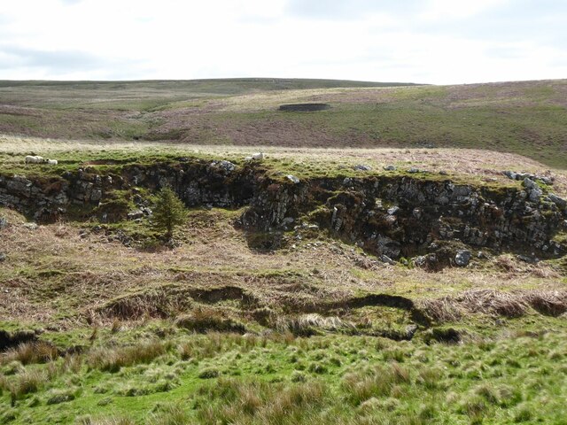
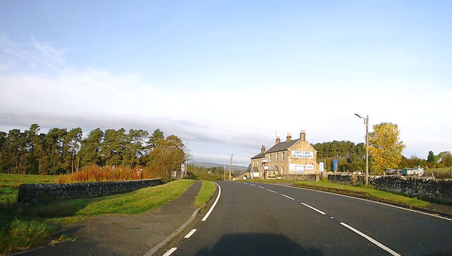
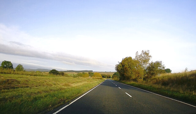
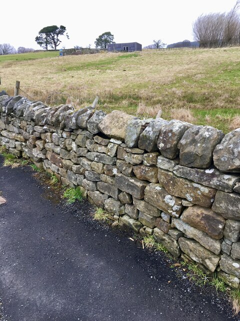
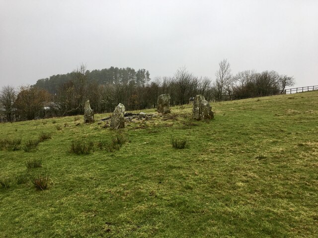
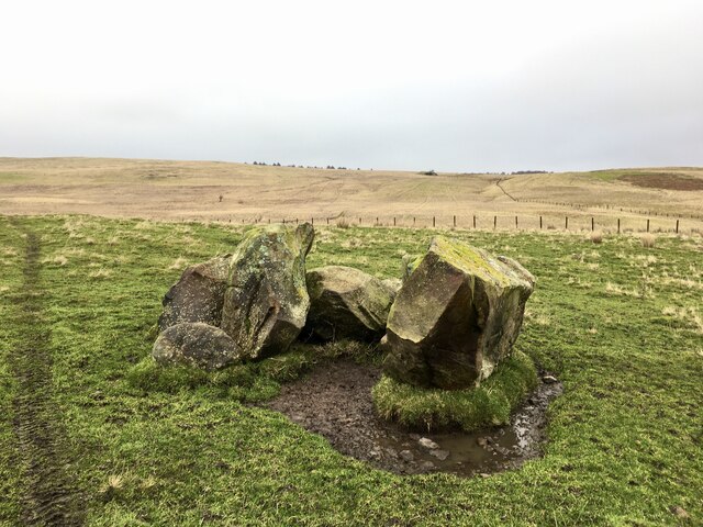
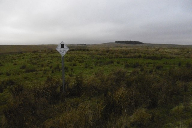
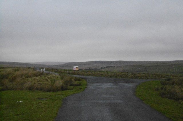
Witch Cleugh Images

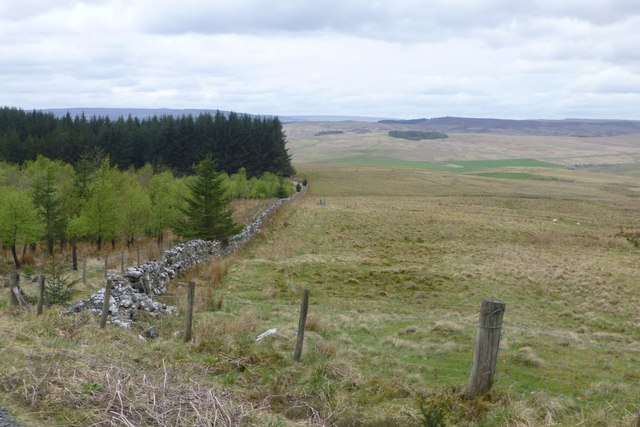
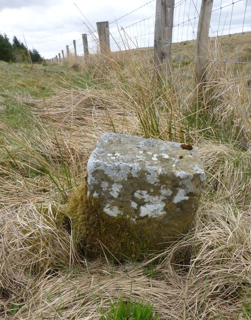
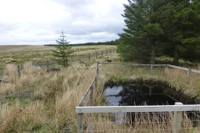
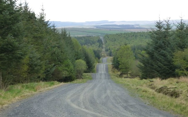
Images are sourced within 2km of 55.290158/-2.2738272 or Grid Reference NY8299. Thanks to Geograph Open Source API. All images are credited.

Sheep walk on the edge of the crag Over the Little Sills Burn.
A fine sheepfold on the hill beyond.
Sheep walk on the edge of the crag
Over the Little Sills Burn. A fine sheepfold on the hill beyond.
Sheep and sheepfold Across the Little Sills Burn.
Sheep and sheepfold
Across the Little Sills Burn.
A68, Rochester Towards Jedburgh.
A68, Rochester
Towards Jedburgh.
A68 towards Jedburgh
35 miles to Newcastle The light coloured capstone on top of the wall is actually a re-positioned 19th Century milestone.  It's not far away from its original location but it's an ignominious fate for a dignified old milestone.   See 

<a href="https://www.geograph.org.uk/photo/6072738">NY8398 : Old Milestone by the A68, Rochester</a>

for its inscription and original setting.
35 miles to Newcastle
The light coloured capstone on top of the wall is actually a re-positioned 19th Century milestone. It's not far away from its original location but it's an ignominious fate for a dignified old milestone. See NY8398 : Old Milestone by the A68, Rochester for its inscription and original setting.
Modern four poster Now that the stones have weathered somewhat this stone circle is beginning to look quite authentic.
Modern four poster
Now that the stones have weathered somewhat this stone circle is beginning to look quite authentic.
Rock pile on Lamb Crag Almost a natural stone circle.  No idea how these stones came to be here but it must have taken a lot of effoert.
Rock pile on Lamb Crag
Almost a natural stone circle. No idea how these stones came to be here but it must have taken a lot of effoert.
Archeological area sign, Otterburn Ranges Possibly a replacement for the familiar white star signs - this one is on the site of a Roman camp one of several along Dere Street.
Archeological area sign, Otterburn Ranges
Possibly a replacement for the familiar white star signs - this one is on the site of a Roman camp one of several along Dere Street.
Junction, Otterburn Ranges A road junction - straight on is really straight on as it is on the site of Dere Street, a Roman road heading for the Firth of Forth.
Junction, Otterburn Ranges
A road junction - straight on is really straight on as it is on the site of Dere Street, a Roman road heading for the Firth of Forth.
Dere Street Road on Otterburn Ranges on the site of a Roman road.
Dere Street
Road on Otterburn Ranges on the site of a Roman road.
Monthilly Beyond the clearance cairn, across the Sills Burn is the site of a farm, shown on an 1899 map as a ruin.
Monthilly
Beyond the clearance cairn, across the Sills Burn is the site of a farm, shown on an 1899 map as a ruin.
The Cheviot Hills from the air The south end of the range. The small circular woodland in the foreground is at Long Cairn.
The Cheviot Hills from the air
The south end of the range. The small circular woodland in the foreground is at Long Cairn.
Sheepfold beside the Bellshiel Road There must be hundreds of sheepfolds on these hills.
Sheepfold beside the Bellshiel Road
There must be hundreds of sheepfolds on these hills.
Small wood Above Bellshiel Burn.
Small wood
Above Bellshiel Burn.
Edge of Stewartshiels Plantation Christies Bog on the right.
Edge of Stewartshiels Plantation
Christies Bog on the right.
Boundary stone With an 'S' on this, the north west, side and an 'R' on the other.
Boundary stone
With an 'S' on this, the north west, side and an 'R' on the other.
Pond to provide water for fire-fighting  At the highest point of the forest.
Pond to provide water for fire-fighting
At the highest point of the forest.
Forest ride In Stewartshiels Plantation.
Forest ride
In Stewartshiels Plantation.
Show me another place!

Witch Cleugh is located at Grid Ref: NY8299 (Lat: 55.290158, Lng: -2.2738272)

Unitary Authority: Northumberland

Police Authority: Northumbria

What 3 Words

///muffin.saints.presented. Near Rochester, Northumberland

Nearby Locations

Witch Cleugh

Related Wikis

Bremenium

Bremenium (High Rochester) is an ancient Roman fort (castrum) located at Rochester, Northumberland, England. The fort is part of the defensive system built...

Rochester, Northumberland

Rochester is a small village and civil parish in north Northumberland, England. It is 5 miles (8 km) north-west of Otterburn on the A68 road between Corbridge...

A68 road

The A68 is a major road in the United Kingdom, running from Darlington in England to the A720 in Edinburgh, the capital of Scotland. It crosses the Anglo...

Northumberland National Park

Northumberland National Park is the northernmost national park in England. It covers an area of more than 1,050 square kilometres (410 sq mi) between the...

Nearby Amenities

Located within 500m of 55.290158,-2.2738272
Barrier: cattle_grid
Lat/Long: 55.28915/-2.2757285
Barrier: cattle_grid
Lat/Long: 55.2894472/-2.2734442
Passing Place
Lat/Long: 55.2873527/-2.2680003
Passing Place
Lat/Long: 55.2921233/-2.2782087
Passing Place
Lat/Long: 55.2907747/-2.2776756
Passing Place
Lat/Long: 55.2880334/-2.2714631
The data included in this document is from www.openstreetmap.org. The data is made available under ODbL.

Have you been to Witch Cleugh?

Leave your review of Witch Cleugh below (or comments, questions and feedback).