Micklehurst Clough
Valley in Lancashire Burnley
England
Micklehurst Clough
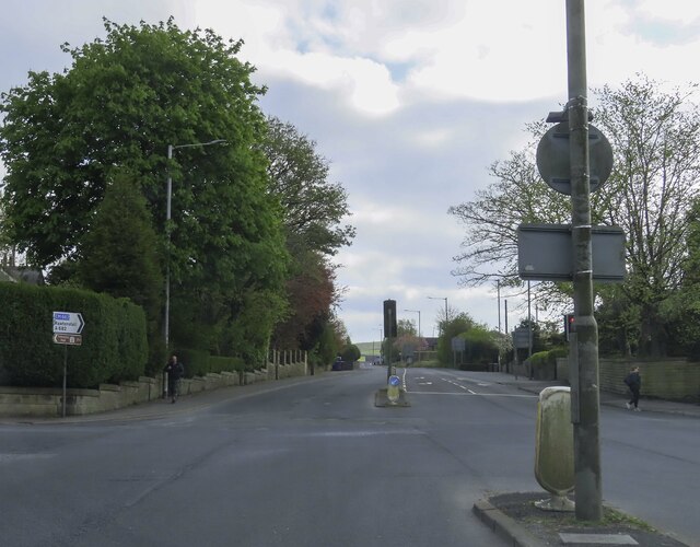
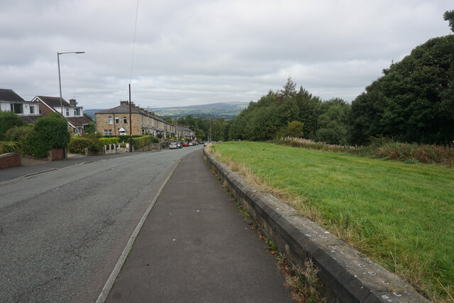
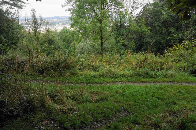
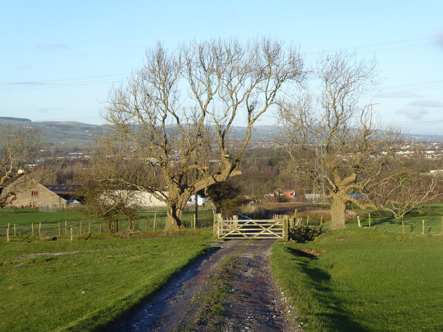
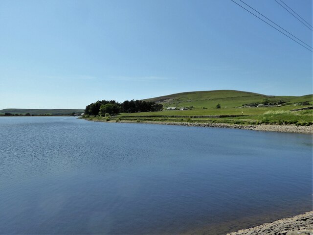
Micklehurst Clough is a picturesque valley located in the county of Lancashire, England. Situated near the town of Mossley, this valley is known for its stunning natural beauty and tranquil atmosphere. Spanning approximately 3 kilometers, Micklehurst Clough is flanked by rolling hills and dense woodlands, creating a sense of seclusion and serenity.
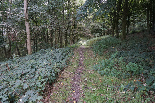
The valley is intersected by the Micklehurst Loopline, a former railway line that has been converted into a scenic walking and cycling path. This provides visitors with an excellent opportunity to explore the area and admire its stunning vistas. The path is lined with an abundance of flora and fauna, including wildflowers, mosses, and various species of birds.
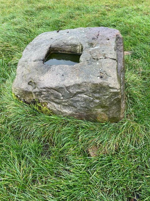
In addition to its natural charm, Micklehurst Clough holds historical significance. The valley was once home to several mills that contributed to the region's industrial heritage. Although these mills are no longer in operation, remnants of their existence can still be seen, adding an intriguing element to the landscape.
Micklehurst Clough offers a range of recreational activities for visitors to enjoy. Whether it's a leisurely stroll through the valley, a bike ride along the loopline, or a peaceful picnic by the river, there is something for everyone to appreciate. The tranquility and beauty of Micklehurst Clough make it a popular destination for nature lovers, hikers, and those seeking a peaceful retreat in the heart of Lancashire.
If you have any feedback on the listing, please let us know in the comments section below.
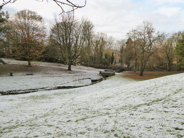
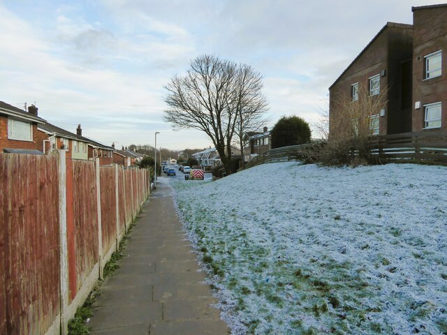
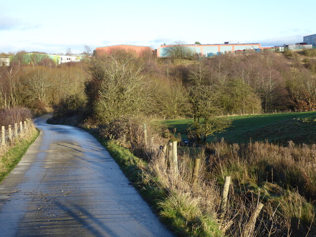
Micklehurst Clough Images
Images are sourced within 2km of 53.766504/-2.2690408 or Grid Reference SD8230. Thanks to Geograph Open Source API. All images are credited.


Micklehurst Clough is located at Grid Ref: SD8230 (Lat: 53.766504, Lng: -2.2690408)
Administrative County: Lancashire
District: Burnley
Police Authority: Lancashire
What 3 Words
///regime.comb.barks. Near Hameldon Hill, Lancashire
Nearby Locations
Related Wikis

Habergham Eaves
Habergham Eaves is a civil parish in the borough of Burnley, in Lancashire, England. The parish consists of a rural area south of Burnley, and suburban...
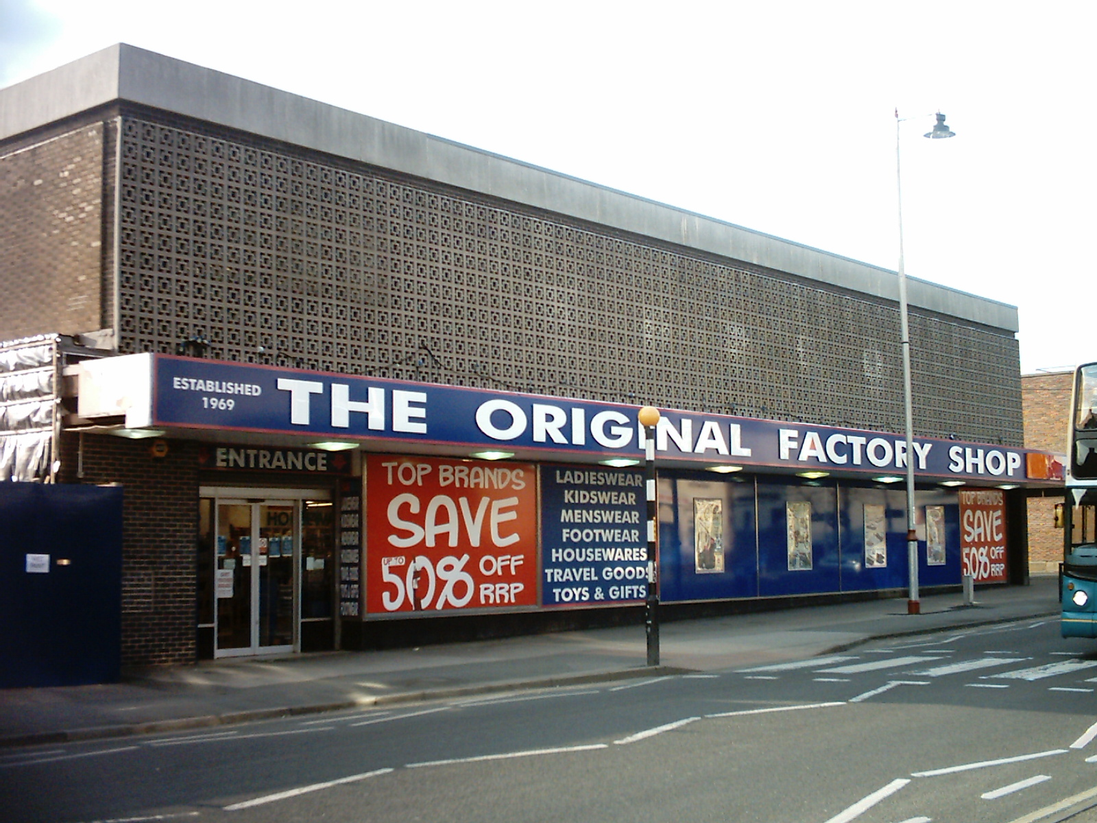
The Original Factory Shop
The Original Factory Shop is a discount department store chain that was established in 1969. It currently operates almost two hundred stores across the...

Hameldon Community College
Hameldon Community College was a mixed 11–16 comprehensive school located in Burnley, Lancashire, England. == History == The school opened in September...

Scott Park
Scott Park is a public park in Burnley, Lancashire. It covers 7.9 hectares (20 acres) and was opened in 1895. Located south of the town centre, attractions...
Nearby Amenities
Located within 500m of 53.766504,-2.2690408Have you been to Micklehurst Clough?
Leave your review of Micklehurst Clough below (or comments, questions and feedback).