Brindley's Dingle

Valley in Staffordshire South Staffordshire

England

Brindley's Dingle

Re-roofed stone barn at Howlet Hall Old barn - with a new roof.
Re-roofed stone barn at Howlet Hall Credit: Richard Law

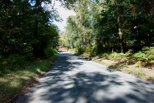
Brindley's Dingle, located in Staffordshire, England, is a picturesque valley renowned for its natural beauty and historical significance. Nestled within the Cannock Chase Area of Outstanding Natural Beauty, this enchanting dingle offers a serene escape from the hustle and bustle of city life.

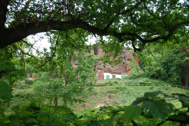
The Dingle takes its name from James Brindley, a famed 18th-century engineer who played a pivotal role in the construction of the Staffordshire and Worcestershire Canal that runs through the area. Brindley's Dingle is a testament to his engineering prowess, as it features the remains of an impressive canal tunnel and a series of locks that once facilitated the passage of boats.

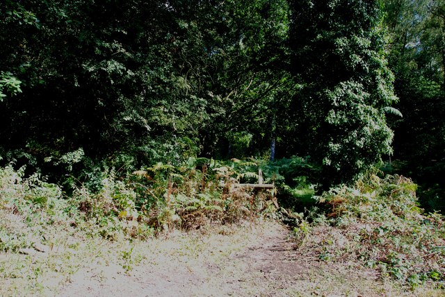
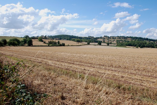
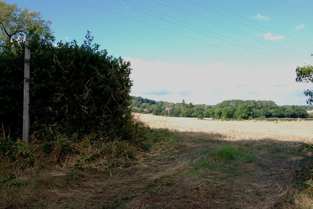
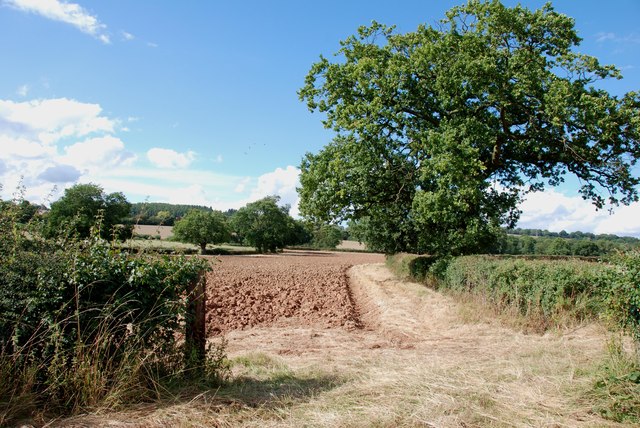
The valley is a haven for nature lovers, boasting a diverse range of flora and fauna. Visitors can explore the numerous walking trails that wind through the dingle, immersing themselves in the tranquil surroundings. The woodland is particularly stunning in spring, when bluebells and wildflowers carpet the forest floor, creating a vibrant tapestry of colors.

For those interested in history and archaeology, Brindley's Dingle offers a glimpse into the past. The remnants of the canal tunnel and locks serve as a reminder of the area's industrial heritage and the important role it played in the transportation of goods during the industrial revolution.

Overall, Brindley's Dingle is a hidden gem that combines natural beauty with historical significance. Whether you're seeking a peaceful retreat in nature or an opportunity to delve into the region's history, this captivating valley is sure to leave a lasting impression.

If you have any feedback on the listing, please let us know in the comments section below.

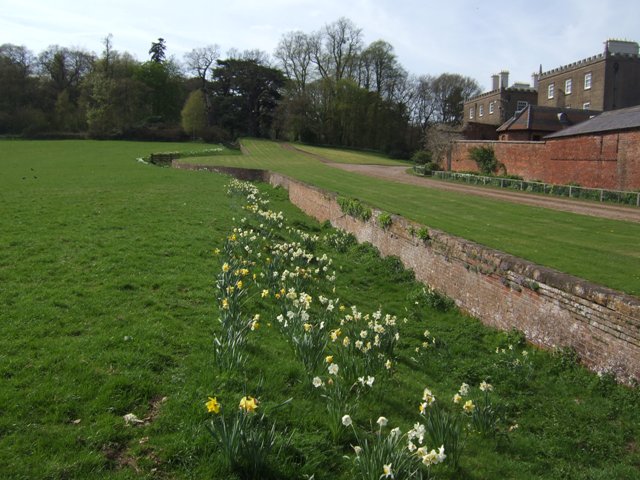
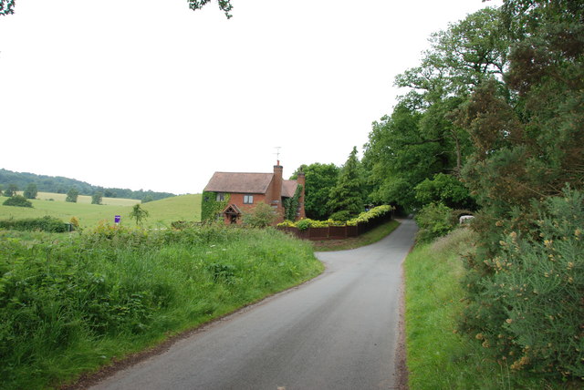
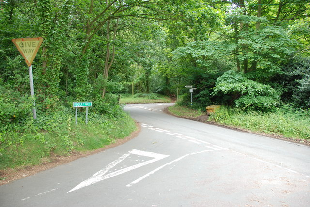
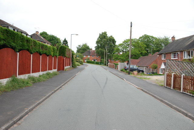
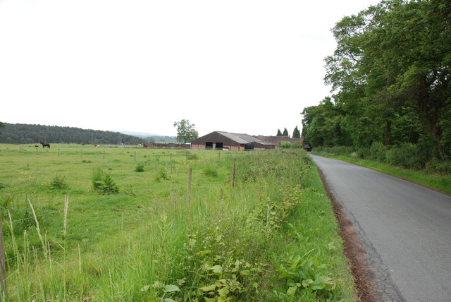
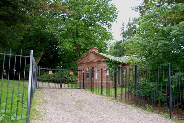
Brindley's Dingle Images

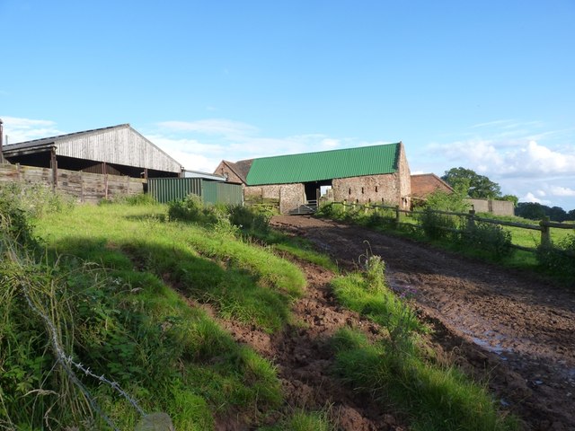
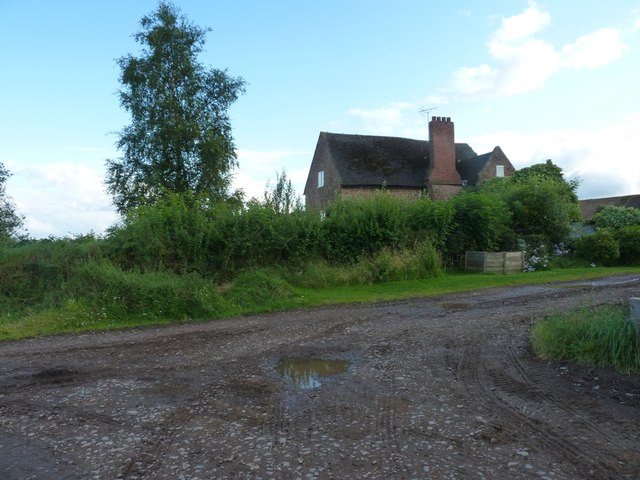
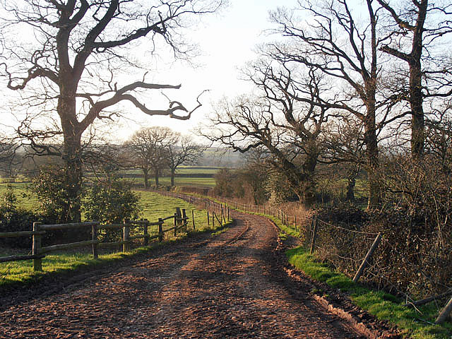
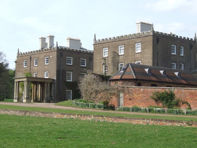
Images are sourced within 2km of 52.457179/-2.2700039 or Grid Reference SO8184. Thanks to Geograph Open Source API. All images are credited.

Re-roofed stone barn at Howlet Hall Old barn - with a new roof.
Re-roofed stone barn at Howlet Hall
Old barn - with a new roof.
Howlet Hall farmhouse
Bridleway at Howlett Hall
Enville Hall Grade II listed 16C&17C hall built by the Grey family, Earls of Stamford and Warrington. The extensive estate comprises 6500acres at Enville.
Enville Hall
Grade II listed 16C&17C hall built by the Grey family, Earls of Stamford and Warrington. The extensive estate comprises 6500acres at Enville.
Ha-ha at Enville Hall The Ha-ha or sunken wall feature separates the house and gardens from the grazing in the landscaped parkland.
Ha-ha at Enville Hall
The Ha-ha or sunken wall feature separates the house and gardens from the grazing in the landscaped parkland.
House On The Outskirts Of Kinver. This house replaced an old Cottage, around 1990
House On The Outskirts Of Kinver.
This house replaced an old Cottage, around 1990
Crossroads Near Holy Austin Rock, Kinver. These Crossroads are at the Kinver end of Kingsford Lane.
Crossroads Near Holy Austin Rock, Kinver.
These Crossroads are at the Kinver end of Kingsford Lane.
Holy Austin Rock, Kinver. One of the Rock houses has been restored, and is open to the public at certain times.The others have been closed off, as is evident from the Photo, for Health & Safety reasons.
Holy Austin Rock, Kinver.
One of the Rock houses has been restored, and is open to the public at certain times.The others have been closed off, as is evident from the Photo, for Health & Safety reasons.
Entrance To Huntsmans Drive, Kinver
Falcon Farm, Enville. Falcon Farm is part of the Enville Estate.
Falcon Farm, Enville.
Falcon Farm is part of the Enville Estate.
Brindley Hall, Compton, Kinver This house was once owned by James Brindley, the man who played such a big part in the building of the Canals. Up until recent years it was owned by the Enville Estate and fell into disrepair, squatters moved in for a while, then it was sold to Developers, but when they came to renovate it, Bats were found in the roof and work had to stop. If anyone lives in it now I don't know, but with iron fence and Doberman dogs I will leave that to someone else to find out. The farm nextdoor is Union Hall Farm named after The Grand Union Canal.
Brindley Hall, Compton, Kinver
This house was once owned by James Brindley, the man who played such a big part in the building of the Canals. Up until recent years it was owned by the Enville Estate and fell into disrepair, squatters moved in for a while, then it was sold to Developers, but when they came to renovate it, Bats were found in the roof and work had to stop. If anyone lives in it now I don't know, but with iron fence and Doberman dogs I will leave that to someone else to find out. The farm nextdoor is Union Hall Farm named after The Grand Union Canal.
Gate House, Brindley Hall, Compton, Kinver High security, note one of the dogs in right hand corner.
Gate House, Brindley Hall, Compton, Kinver
High security, note one of the dogs in right hand corner.
Footpath into the Gloom, Kingsford Lane
Kingsford Lane Heading towards Kinver Kingsford Lane follows along the bottom of Kinver Edge
Kingsford Lane Heading towards Kinver
Kingsford Lane follows along the bottom of Kinver Edge
View from Compton Road, Kinver Looking across to the Sheepwalks on the right skyline.
View from Compton Road, Kinver
Looking across to the Sheepwalks on the right skyline.
Footpath across Fields from Heron's Gate Road The house that can just be seen in the middle of the picture, belonged to James Brindley of canal building fame.
Footpath across Fields from Heron's Gate Road
The house that can just be seen in the middle of the picture, belonged to James Brindley of canal building fame.
Ploughing in the Stubble Ploughing in this years stubble, so that next years crop can be planted in the autumn or next spring, depending what is being sown.
Ploughing in the Stubble
Ploughing in this years stubble, so that next years crop can be planted in the autumn or next spring, depending what is being sown.
Entrance to Compton Cottage Farm, Heron's Gate Road
Show me another place!

Brindley's Dingle is located at Grid Ref: SO8184 (Lat: 52.457179, Lng: -2.2700039)

Administrative County: Staffordshire

District: South Staffordshire

Police Authority: Staffordshire

What 3 Words

///glance.existence.landings. Near Kinvere, Staffordshire

Related Wikis

Great Fountain, Enville

The Great Fountain, Enville, was a fountain created in the mid-19th century by the Earl of Stamford in the middle of a lake on his Enville Hall estate...

Enville Hall

Enville Hall is an English Tudor country house in the village of Enville, Staffordshire. It is a Grade II listed building.The house has a 16th and 17th...

Kinver Edge

Kinver Edge is a high heath and woodland escarpment just west of Kinver, about four miles west of Stourbridge, and four miles north of Kidderminster, and...

Kinver Edge Hillfort

Kinver Edge Hillfort, is a univallate Iron Age hillfort with a massive rampart and outer ditch along the south-west and south-east sides, with natural...

Castle Hill, Wolverley

Castle Hill or Baron Hill is about a mile from the hamlet of Kingsford in the civil parish of Wolverley and Cookley, Worcestershire. In 1912 the site consisted...

Kingsford Country Park

Kingsford Country Park, officially Kingsford Forest Park, was in Worcestershire, England, U.K. and managed by Worcestershire County Council. It adjoined...

Enville, Staffordshire

Enville is a village and civil parish in rural Staffordshire, England, on the A458 road between Stourbridge and Bridgnorth. Enville is in the South Staffordshire...

West Midlands (region)

The West Midlands is one of nine official regions of England at the first level of International Territorial Level for statistical purposes. It covers...

Nearby Amenities

Located within 500m of 52.457179,-2.2700039
The data included in this document is from www.openstreetmap.org. The data is made available under ODbL.

Have you been to Brindley's Dingle?

Leave your review of Brindley's Dingle below (or comments, questions and feedback).