Hollies Dingle

Valley in Staffordshire South Staffordshire

England

Hollies Dingle

Cereal cropfield near Birdsgreen in Shropshire Some of the fields in the north this square are a little inaccessible.
Cereal cropfield near Birdsgreen in Shropshire Credit: Roger Kidd

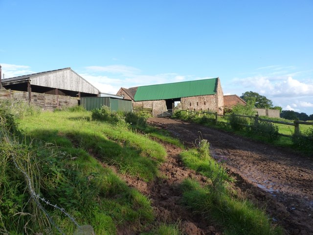
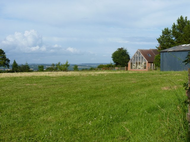
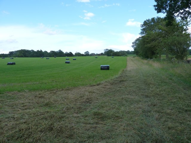
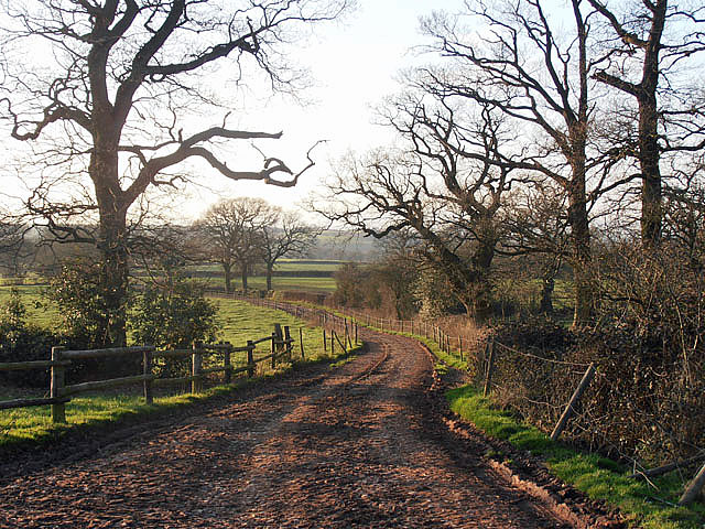
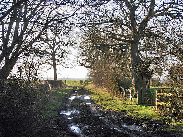
Hollies Dingle, located in Staffordshire, England, is a picturesque valley that boasts scenic beauty and natural splendor. Nestled amidst rolling hills and lush greenery, this idyllic location offers a tranquil escape from the hustle and bustle of city life.

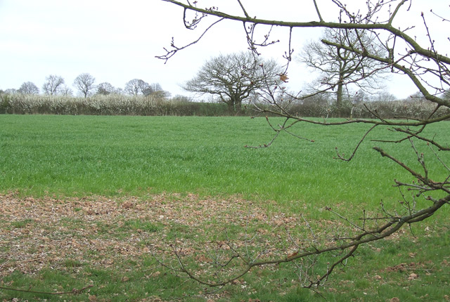
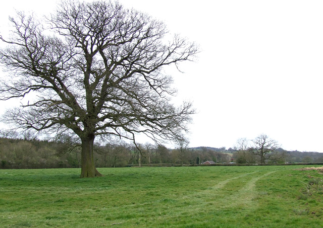
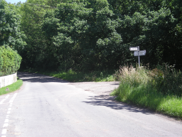
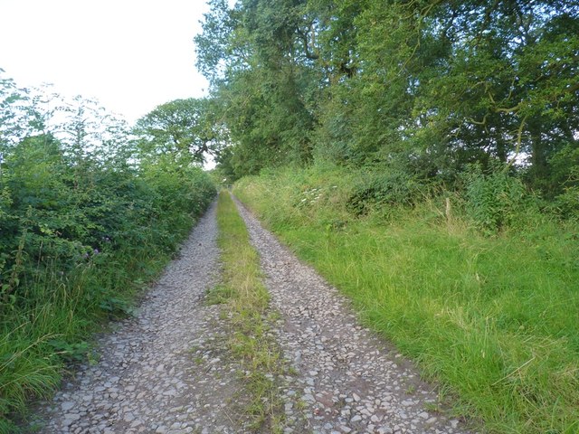
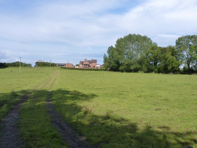
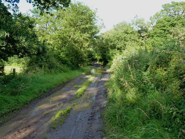
The valley is characterized by its enchanting woodlands, meandering streams, and abundant wildlife. Visitors to Hollies Dingle can enjoy leisurely walks along its well-maintained trails, taking in the sights and sounds of nature. The area is particularly popular among nature enthusiasts, hikers, and birdwatchers, who are drawn to the diverse range of flora and fauna found here.

The valley is home to an array of plant species, including vibrant wildflowers, towering trees, and ferns that thrive in the damp, sheltered environment. The babbling brooks and cascading waterfalls add to the overall charm of Hollies Dingle, creating a soothing ambiance that soothes the soul.

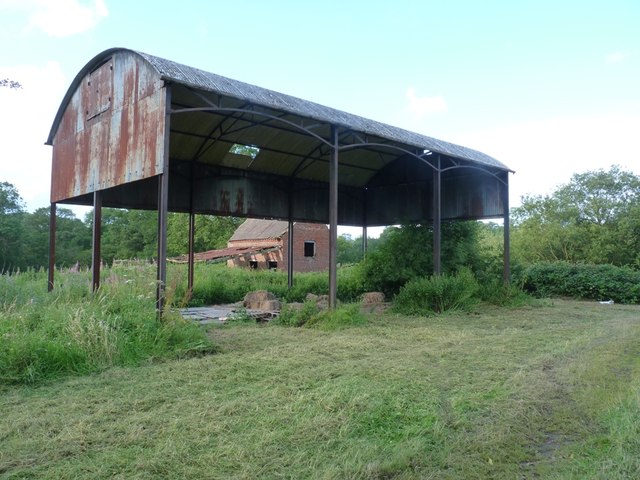
In addition to its natural beauty, Hollies Dingle also holds historical significance. In the past, the valley was utilized for mining activities, and remnants of this industrial heritage can still be seen today. These remnants serve as a reminder of the area's rich history and how it has evolved over time.

Overall, Hollies Dingle is a hidden gem in Staffordshire, offering visitors a chance to immerse themselves in the tranquility of nature while also exploring its intriguing past. Whether it is a leisurely stroll, a picnic by the stream, or simply seeking solace in the great outdoors, this enchanting valley has something to offer everyone.

If you have any feedback on the listing, please let us know in the comments section below.

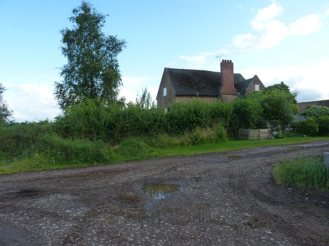
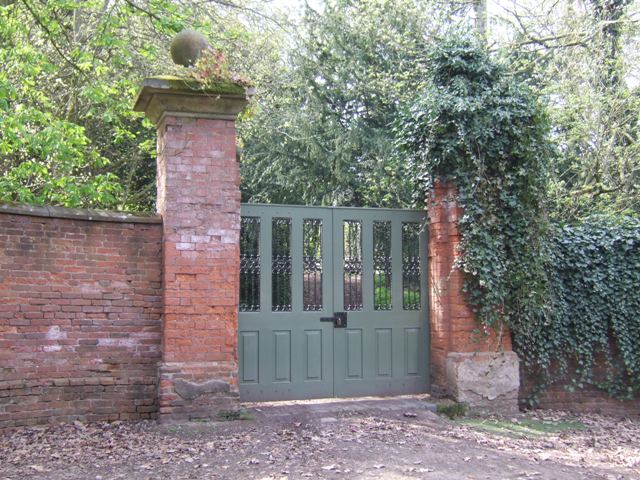
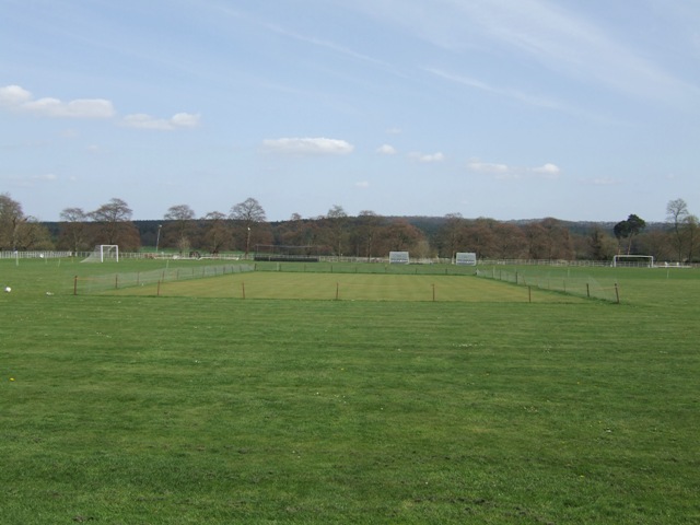
Hollies Dingle Images

Images are sourced within 2km of 52.466237/-2.2831597 or Grid Reference SO8085. Thanks to Geograph Open Source API. All images are credited.

Cereal cropfield near Birdsgreen in Shropshire Some of the fields in the north this square are a little inaccessible.
Cereal cropfield near Birdsgreen in Shropshire
Some of the fields in the north this square are a little inaccessible.
Beauty Bank Farmhouse west of Coxgreen in Staffordshire Just over into Shropshire, this farmhouse has been expertly renovated and extended, including the use of local sandstone materials. Superb!
Beauty Bank Farmhouse west of Coxgreen in Staffordshire
Just over into Shropshire, this farmhouse has been expertly renovated and extended, including the use of local sandstone materials. Superb!
Grazing Land near Lindridge, Shropshire
Lane junction near Lindridge
Barrets - a couple of abandoned barns Two abandoned barns of different ages adjacent to the bridleway between The Hollies and Filletts farms.
Barrets - a couple of abandoned barns
Two abandoned barns of different ages adjacent to the bridleway between The Hollies and Filletts farms.
Re-roofed stone barn at Howlet Hall Old barn - with a new roof.
Re-roofed stone barn at Howlet Hall
Old barn - with a new roof.
A gated bridleway west of Howlet Hall farm The bridleway is a good track for much of its length, with a gate or two to slow the enthusiastic cyclist down. And some muddy sections to ensure a good splattering.
A gated bridleway west of Howlet Hall farm
The bridleway is a good track for much of its length, with a gate or two to slow the enthusiastic cyclist down. And some muddy sections to ensure a good splattering.
Towards High Barns Farm from the lane near Lindridge Grazing land west of High Barns Farm.
Towards High Barns Farm from the lane near Lindridge
Grazing land west of High Barns Farm.
Barn conversion just off Batfield Lane
A badly boggy bit The generally good bridleway between The Hollies and Filletts farms is rather let down by this boggy, muddy section in the woods.
A badly boggy bit
The generally good bridleway between The Hollies and Filletts farms is rather let down by this boggy, muddy section in the woods.
Bridleway in a hayfield Recently-mown hay baled up ready for winter cattle feed. The bridleway follows the field margin, and is easily rideable, albeit a little soft in places.
Bridleway in a hayfield
Recently-mown hay baled up ready for winter cattle feed. The bridleway follows the field margin, and is easily rideable, albeit a little soft in places.
Bridleway to No Man's Green Following this was a mistake. The first bit, across this field, was OK, but it then drops into a Cains Gorse copse, and become distinctly damp underfoot. Not really cyclable, and frankly, a bit of a pain to push a bike along. And full of nettles, which is always fun in shorts.
Bridleway to No Man's Green
Following this was a mistake. The first bit, across this field, was OK, but it then drops into a Cains Gorse copse, and become distinctly damp underfoot. Not really cyclable, and frankly, a bit of a pain to push a bike along. And full of nettles, which is always fun in shorts.
Howlet Hall farmhouse
Bridleway at Howlett Hall
Farm track in winter
Enville Hall Grade II listed 16C&17C hall built by the Grey family, Earls of Stamford and Warrington. The extensive estate comprises 6500acres at Enville.
Enville Hall
Grade II listed 16C&17C hall built by the Grey family, Earls of Stamford and Warrington. The extensive estate comprises 6500acres at Enville.
Gateway at Enville Hall The gate in the brick wall surrounding the hall leads into the landscaped gardens.
Gateway at Enville Hall
The gate in the brick wall surrounding the hall leads into the landscaped gardens.
Enville Cricket Club In the grounds of Enville Hall.
Enville Cricket Club
In the grounds of Enville Hall.
Show me another place!

Hollies Dingle is located at Grid Ref: SO8085 (Lat: 52.466237, Lng: -2.2831597)

Administrative County: Staffordshire

District: South Staffordshire

Police Authority: Staffordshire

What 3 Words

///curl.flocking.recap. Near Romsley, Shropshire

Related Wikis

Great Fountain, Enville

The Great Fountain, Enville, was a fountain created in the mid-19th century by the Earl of Stamford in the middle of a lake on his Enville Hall estate...
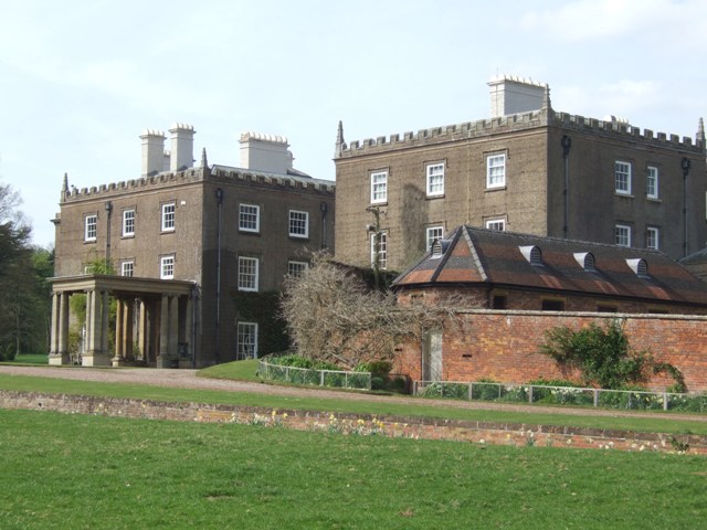
Enville Hall

Enville Hall is an English Tudor country house in the village of Enville, Staffordshire. It is a Grade II listed building.The house has a 16th and 17th...

Enville, Staffordshire

Enville is a village and civil parish in rural Staffordshire, England, on the A458 road between Stourbridge and Bridgnorth. Enville is in the South Staffordshire...

West Midlands (region)

The West Midlands is one of nine official regions of England at the first level of International Territorial Level for statistical purposes. It covers...

Kinver Edge

Kinver Edge is a high heath and woodland escarpment just west of Kinver, about four miles west of Stourbridge, and four miles north of Kidderminster, and...

Castle Hill, Wolverley

Castle Hill or Baron Hill is about a mile from the hamlet of Kingsford in the civil parish of Wolverley and Cookley, Worcestershire. In 1912 the site consisted...

Kinver Edge Hillfort

Kinver Edge Hillfort, is a univallate Iron Age hillfort with a massive rampart and outer ditch along the south-west and south-east sides, with natural...

Romsley, Shropshire

Romsley (grid reference SO783826) is a hamlet and civil parish in southeast Shropshire, England. It is bounded on the north and west by Alveley and on...

Nearby Amenities

Located within 500m of 52.466237,-2.2831597
Sheepwalks Hill
Ele: 207
Natural: peak
Lat/Long: 52.463454/-2.2820712
The data included in this document is from www.openstreetmap.org. The data is made available under ODbL.

Have you been to Hollies Dingle?

Leave your review of Hollies Dingle below (or comments, questions and feedback).