Church Hope

Valley in Roxburghshire

Scotland

Church Hope

Cheviot feral goat kid on Blackbrough Hill A loose herd of approximately 30 Cheviot feral goats including 10 kids were encountered from Blackbrough Hill to Heatherhope Reservoir, this being a shot of one of the more obliging youngsters.

This photograph was taken during the Coronavirus (COVID-19) pandemic of 2020/21/22.
Cheviot feral goat kid on Blackbrough Hill Credit: James T M Towill

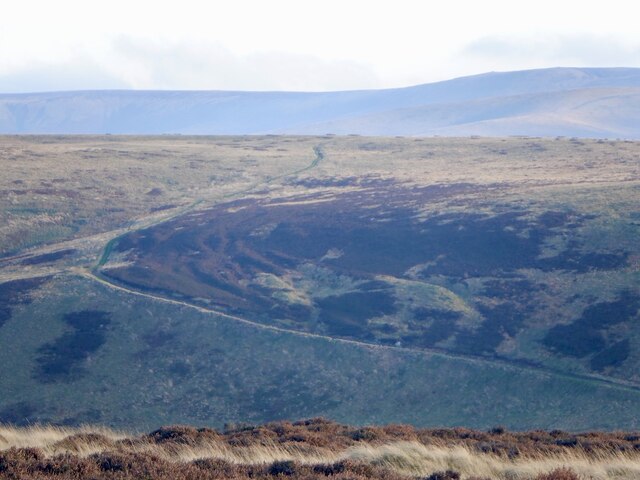
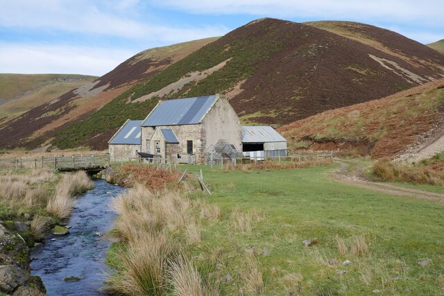
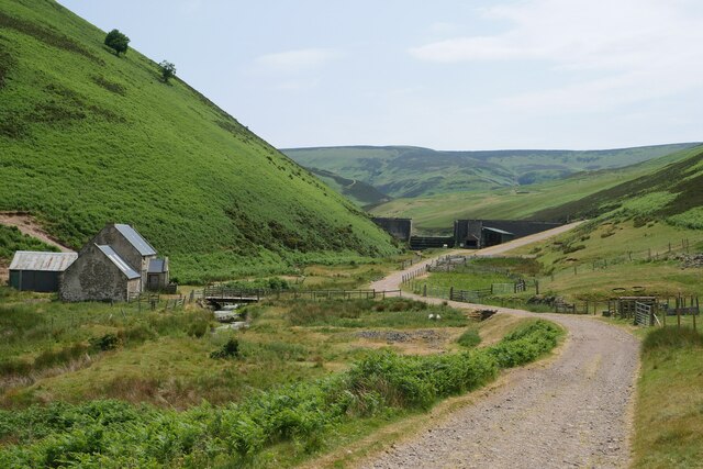
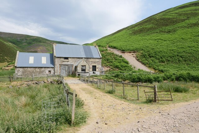
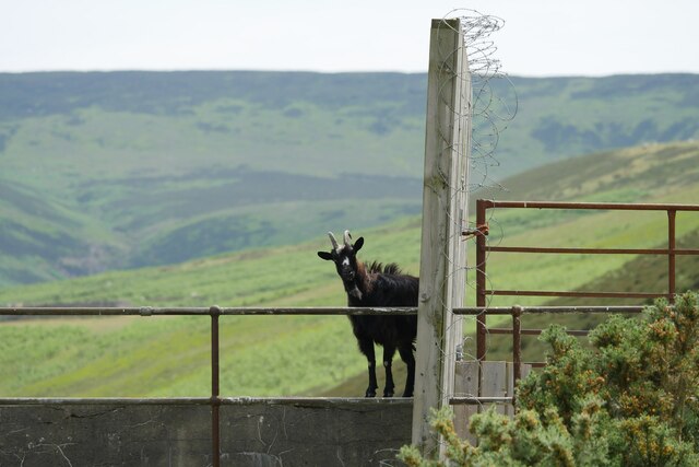
Church Hope is a picturesque village located in the scenic region of Roxburghshire in Scotland. Situated in a valley, this charming hamlet is known for its breathtaking natural beauty and rich historical heritage. The village is nestled amidst rolling hills and lush green landscapes, offering a serene and tranquil environment that attracts visitors seeking peace and relaxation.

The centerpiece of Church Hope is its historic church, dating back centuries and serving as a symbol of the village's deep-rooted religious traditions. The church's architecture is a blend of various styles, showcasing the evolution of design over the years. Its ancient graveyard is a fascinating site, with weathered tombstones providing glimpses into the lives of the village's past inhabitants.

The village itself is small, comprising a handful of quaint stone houses that exude a traditional charm. The locals are warm and friendly, often engaging in community activities and events. There are several walking trails in and around Church Hope, allowing visitors to explore the surrounding countryside and take in the breathtaking views.

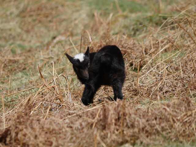
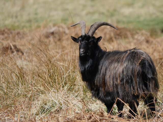
The area is also known for its agricultural heritage, with many farms dotting the landscape. Visitors can immerse themselves in the rural lifestyle by visiting local farms and sampling fresh produce.

Church Hope offers a peaceful retreat away from the hustle and bustle of urban life, making it an ideal destination for nature lovers, history enthusiasts, and those seeking a tranquil escape in the heart of Roxburghshire.

If you have any feedback on the listing, please let us know in the comments section below.

Church Hope Images

Images are sourced within 2km of 55.439815/-2.3072649 or Grid Reference NT8016. Thanks to Geograph Open Source API. All images are credited.

Cheviot feral goat kid on Blackbrough Hill A loose herd of approximately 30 Cheviot feral goats including 10 kids were encountered from Blackbrough Hill to Heatherhope Reservoir, this being a shot of one of the more obliging youngsters.

This photograph was taken during the Coronavirus (COVID-19) pandemic of 2020/21/22.
Cheviot feral goat kid on Blackbrough Hill
A loose herd of approximately 30 Cheviot feral goats including 10 kids were encountered from Blackbrough Hill to Heatherhope Reservoir, this being a shot of one of the more obliging youngsters. This photograph was taken during the Coronavirus (COVID-19) pandemic of 2020/21/22.
Cheviot feral goat by the Heatherhope Burn A loose herd of approximately 30 Cheviot feral goats including 10 kids were encountered from Blackbrough Hill to Heatherhope Reservoir, this being a shot of one of the more obliging billy goats.

This photograph was taken during the Coronavirus (COVID-19) pandemic of 2020/21/22.
Cheviot feral goat by the Heatherhope Burn
A loose herd of approximately 30 Cheviot feral goats including 10 kids were encountered from Blackbrough Hill to Heatherhope Reservoir, this being a shot of one of the more obliging billy goats. This photograph was taken during the Coronavirus (COVID-19) pandemic of 2020/21/22.
Craik Moor The Street follows a fence dividing grass from heather.
Craik Moor
The Street follows a fence dividing grass from heather.
Cairn, Berry Hills Some stones from the antiquity have been used to form a more recent cairn.
Cairn, Berry Hills
Some stones from the antiquity have been used to form a more recent cairn.
The Street
The Street
Head of Cribs Hope Scree lined deep defile off Craik Moor.
Head of Cribs Hope
Scree lined deep defile off Craik Moor.
Blackbrough Hill A steep flank of a spur which carries a very striking hill fort.
Blackbrough Hill
A steep flank of a spur which carries a very striking hill fort.
Cloud over the Cheviot Hills The main ridge is holding back a mass of fog and cloud on a southeasterly. There were similar conditions at the time in the Lammermuir Hills. It was also very warm. 
View over the shoulder of Blackbrough Hill from Berry Hills.
Cloud over the Cheviot Hills
The main ridge is holding back a mass of fog and cloud on a southeasterly. There were similar conditions at the time in the Lammermuir Hills. It was also very warm. View over the shoulder of Blackbrough Hill from Berry Hills.
The Street, Craik Moor
Blackbrough Hill The neck between the fort and Craik Moor - the only side not defended by steep slopes.
Blackbrough Hill
The neck between the fort and Craik Moor - the only side not defended by steep slopes.
Calroust Common The Street, an old drove road crosses Calroust Common.
Calroust Common
The Street, an old drove road crosses Calroust Common.
A fence on Craik Moor View to The Cheviot.
A fence on Craik Moor
View to The Cheviot.
Fence on Craik Moor In the background a mass of cloud has formed on the English side of the ridge, where moist and very warm air has been pushed up on a southeasterly.
Fence on Craik Moor
In the background a mass of cloud has formed on the English side of the ridge, where moist and very warm air has been pushed up on a southeasterly.
An old farmhouse by the Heatherhope Burn A repurposed farmhouse in this beautiful little valley in the Cheviot Hills, downstream from Heatherhope Reservoir.
An old farmhouse by the Heatherhope Burn
A repurposed farmhouse in this beautiful little valley in the Cheviot Hills, downstream from Heatherhope Reservoir.
Passing Heatherhope The view to Heatherhope Reservoir after passing Heatherhope, an isolated property in this little valley in the Cheviot Hills.
Passing Heatherhope
The view to Heatherhope Reservoir after passing Heatherhope, an isolated property in this little valley in the Cheviot Hills.
A former shepherd's cottage near Heatherhope This former shepherd's cottage over the Heatherhope Burn now appears to be used for storage.
A former shepherd's cottage near Heatherhope
This former shepherd's cottage over the Heatherhope Burn now appears to be used for storage.
Cheviot feral goat on the dam at Heatherhope Reservoir One of seven goats on this southern section of the dam which appeared to have gained access through a small door in the gate, seen here in profile.
Cheviot feral goat on the dam at Heatherhope Reservoir
One of seven goats on this southern section of the dam which appeared to have gained access through a small door in the gate, seen here in profile.
Show me another place!

Church Hope is located at Grid Ref: NT8016 (Lat: 55.439815, Lng: -2.3072649)

Unitary Authority: The Scottish Borders

Police Authority: The Lothians and Scottish Borders

What 3 Words

///adults.cherished.claw. Near Jedburgh, Scottish Borders

Related Wikis

Nearby Amenities

Located within 500m of 55.439815,-2.3072649
Green Hill
Natural: peak
Lat/Long: 55.4416216/-2.3144417
The data included in this document is from www.openstreetmap.org. The data is made available under ODbL.

Have you been to Church Hope?

Leave your review of Church Hope below (or comments, questions and feedback).