South Cleugh
Valley in Durham
England
South Cleugh
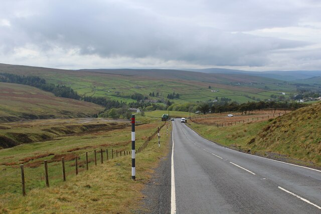
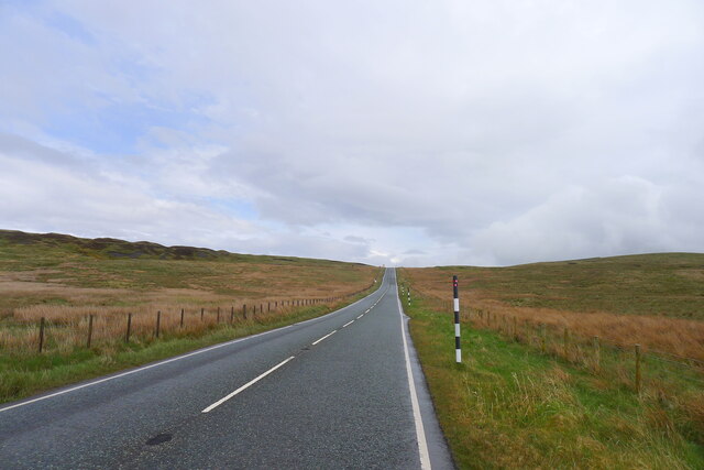
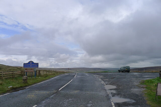
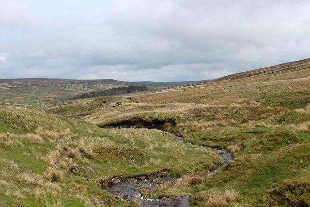
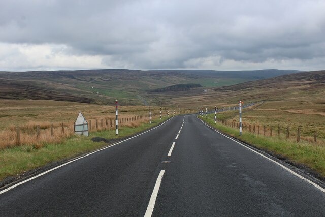
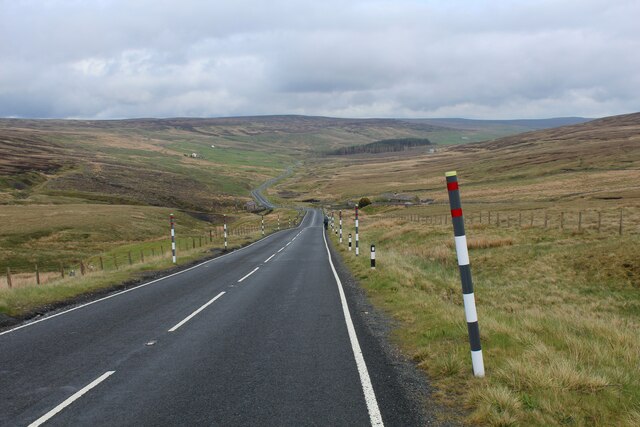
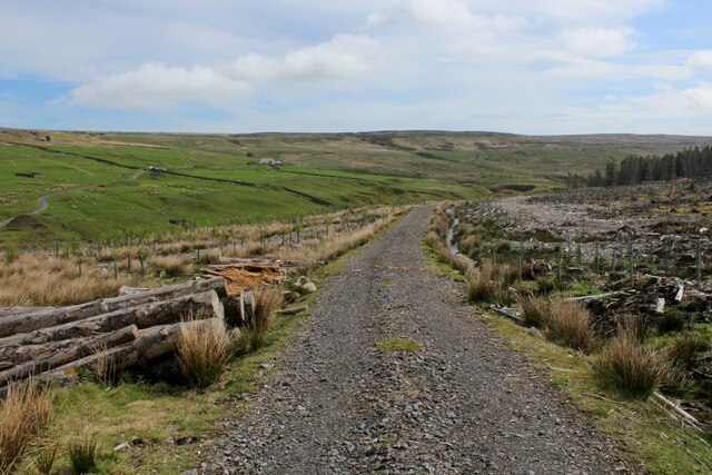
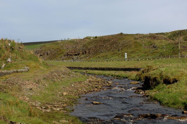
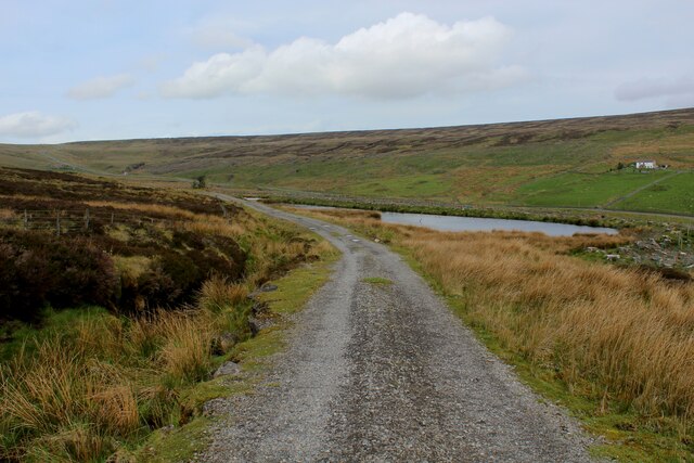
South Cleugh is a small village located in County Durham, England. Situated in the picturesque Durham Dales, it lies within the North Pennines Area of Outstanding Natural Beauty. The village is nestled in a valley, surrounded by rolling hills and lush greenery, offering stunning views of the countryside.
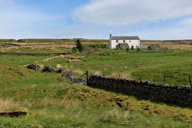
With a population of around 200 residents, South Cleugh is a close-knit community that exudes a sense of tranquility and rural charm. The village is primarily residential, consisting of a cluster of houses, some of which date back several centuries. These historic buildings add to the village's character and provide a glimpse into its rich past.
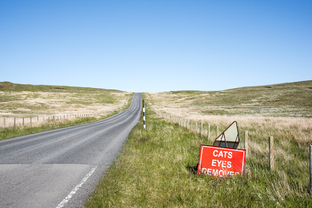
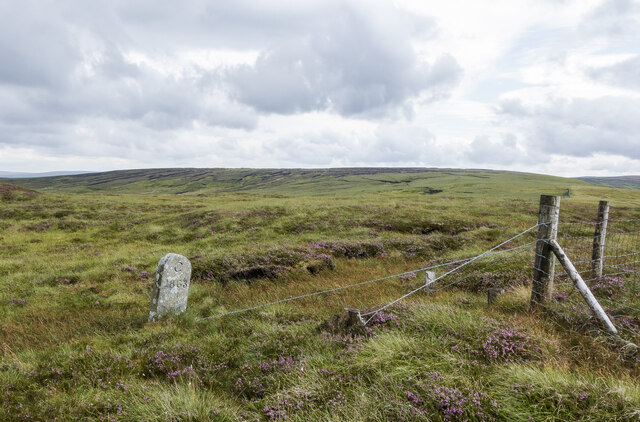
The surrounding landscape offers ample opportunities for outdoor activities and exploration. The nearby South Cleugh Nature Reserve is a haven for wildlife, with various species of birds, mammals, and plants thriving in the area. The village also boasts easy access to numerous walking trails and cycling routes, making it a popular destination for nature enthusiasts and outdoor adventurers.
While South Cleugh does not have its own amenities, the village is within a short distance of neighboring towns and villages that provide essential services such as shops, schools, and healthcare facilities. The village's peaceful atmosphere and scenic surroundings make it an ideal place for those seeking a quieter, rural lifestyle, away from the hustle and bustle of city living.
Overall, South Cleugh is a charming village that offers a tranquil retreat in the heart of County Durham's stunning countryside. Its idyllic location, rich history, and close-knit community make it a desirable place to call home for those seeking a slower pace of life and a deep connection with nature.
If you have any feedback on the listing, please let us know in the comments section below.
South Cleugh Images
Images are sourced within 2km of 54.780176/-2.3041526 or Grid Reference NY8042. Thanks to Geograph Open Source API. All images are credited.


South Cleugh is located at Grid Ref: NY8042 (Lat: 54.780176, Lng: -2.3041526)
Unitary Authority: County Durham
Police Authority: Durham
What 3 Words
///cheesy.cleanser.lookout. Near Alston, Cumbria
Nearby Locations
Related Wikis

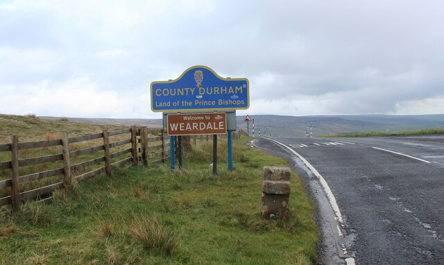
Killhope Cross
Killhope Cross (elevation 627 m; 2,057 ft) is a mountain pass in the English Pennines. The pass divides Weardale to the east and Cumbria to the west. The...

Old Moss Lead Vein
Old Moss Lead Vein, also known as Killhope Head, is a Site of Special Scientific Interest in the Wear Valley district of County Durham, England. It consists...

Nenthead
Nenthead ( NENT-hed) in the county of Cumbria is one of England's highest villages, at around 1,437 feet (438 m). It was not built until the middle of...
Killhope
Killhope is a small settlement at the very highest end of Weardale in the civil parish of Stanhope, in County Durham, England. Killhope Pass, the road...
Nearby Amenities
Located within 500m of 54.780176,-2.3041526Have you been to South Cleugh?
Leave your review of South Cleugh below (or comments, questions and feedback).