Wylie Cleugh

Valley in Berwickshire

Scotland

Wylie Cleugh

Access  road  from  Eccles  electricity  sub  station  onto  A697 The sub station is undertaking a major upgrade and expansion
Access road from Eccles electricity sub station onto A697 Credit: Martin Dawes

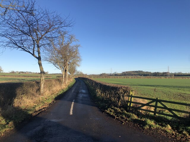
Wylie Cleugh is a picturesque valley located in the historical county of Berwickshire, in the southeast of Scotland. It is situated near the village of Hutton, nestled between the rolling Cheviot Hills and the meandering Whiteadder Water.

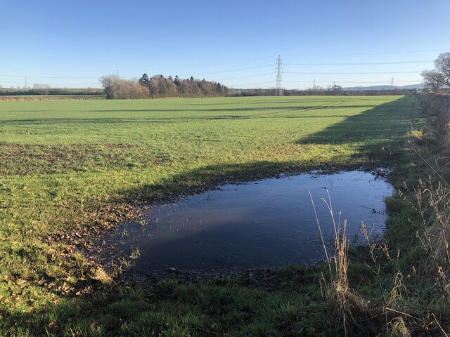
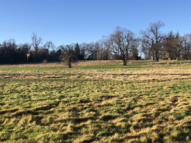
The valley is renowned for its stunning natural beauty, characterized by lush green meadows, fertile farmland, and a tranquil atmosphere. It is a haven for nature lovers, offering a diverse range of flora and fauna, including wildflowers, birds, and small mammals. The valley's idyllic landscape is further enhanced by the presence of winding streams, charming footpaths, and ancient woodlands, providing ample opportunities for leisurely walks and exploring the countryside.

Wylie Cleugh's rich history is evident through the presence of several historical landmarks. The most notable is the imposing Wylie Cleugh Tower, a fortified tower house dating back to the 16th century. This well-preserved structure serves as a reminder of the area's turbulent past and offers visitors a glimpse into the region's architectural heritage.

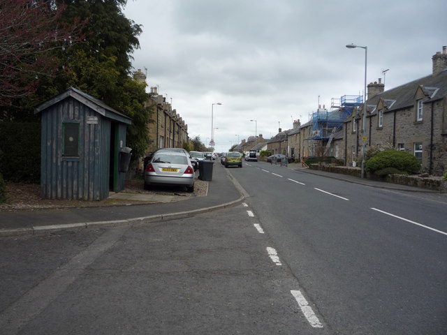
The valley also boasts a close-knit community, with a few scattered rural dwellings and farms. The residents of Wylie Cleugh take great pride in their surroundings, maintaining the area's natural beauty and preserving its traditional charm.

Overall, Wylie Cleugh in Berwickshire offers visitors a serene and picturesque escape from the hustle and bustle of modern life. With its breathtaking scenery, rich history, and friendly community, it is a hidden gem in the Scottish countryside.

If you have any feedback on the listing, please let us know in the comments section below.
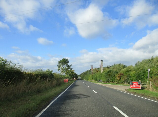
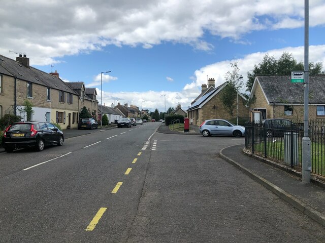
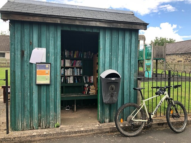
Wylie Cleugh Images

Images are sourced within 2km of 55.683929/-2.3144736 or Grid Reference NT8043. Thanks to Geograph Open Source API. All images are credited.

Access  road  from  Eccles  electricity  sub  station  onto  A697 The sub station is undertaking a major upgrade and expansion
Access road from Eccles electricity sub station onto A697
The sub station is undertaking a major upgrade and expansion
B6461, Leitholm
B6461, Leitholm
Bus shelter, Leitholm Thought it would be a good place to sit and have some lunch, but I soon amassed an audience of very annoyed swallows. There were nests in there as well as the books.  Moved out to the nearby playground and all was peaceful again.  Cannot have too many swallows!
Bus shelter, Leitholm
Thought it would be a good place to sit and have some lunch, but I soon amassed an audience of very annoyed swallows. There were nests in there as well as the books. Moved out to the nearby playground and all was peaceful again. Cannot have too many swallows!
Road south of Leitholm Typical straight Merse road.
Road south of Leitholm
Typical straight Merse road.
Flooded field corner One of the downsides of winter crops.
Flooded field corner
One of the downsides of winter crops.
Parkland, Anton's Hill
Over  the  rise  the  A697  bears  left Wonderful sweeping views in the Scottish Borders
Over the rise the A697 bears left
Wonderful sweeping views in the Scottish Borders
Entering Leitholm Heading north east on the B6461.
Entering Leitholm
Heading north east on the B6461.
Lambden Burn View from West Leitholm Bridge.
Lambden Burn
View from West Leitholm Bridge.
Leitholm War Memorial
House on Main Street, Leitholm
Main Street, Leitholm
Cottages, Leitholm On Main Street.
Cottages, Leitholm
On Main Street.
The Plough Inn, Leitholm On Main Street.
The Plough Inn, Leitholm
On Main Street.
Leitholm Village Hall On Main Street.
In use as a polling station on this day.
Leitholm Village Hall
On Main Street. In use as a polling station on this day.
Heading north east from Leitholm On the B6461.
Heading north east from Leitholm
On the B6461.
Grazing and woodland near Leitholm Off the B6461.
Grazing and woodland near Leitholm
Off the B6461.
B6461 towards Berwick  Heading north east.
B6461 towards Berwick
Heading north east.
Show me another place!

Wylie Cleugh is located at Grid Ref: NT8043 (Lat: 55.683929, Lng: -2.3144736)

Unitary Authority: The Scottish Borders

Police Authority: The Lothians and Scottish Borders

What 3 Words

///inhaler.lucky.rejoined. Near Coldstream, Scottish Borders

Nearby Locations

Wylie Cleugh

Related Wikis

Leitholm

Leitholm (Scots: Leithowm) is a village in the Scottish Borders area of Scotland, 4 miles (6.4 km) north-west of Coldstream, in the former county of Berwickshire...

Lake of the Hirsel

The Lake of the Hirsel or Hirsel Lake is an artificial body of water and Site of Special Scientific Interest near Coldstream in Berwickshire in Scotland...

The Hirsel

The Hirsel is a Category A Listed stately home near Coldstream, Berwickshire in the Scottish Borders council area. It has been a seat of the Earls of Home...

Battle of Skaithmuir

The Battle of Skaithmuir was a skirmish of the First War of Scottish Independence. It took place near Coldstream, on the Anglo-Scottish border, in February...

Nearby Amenities

Located within 500m of 55.683929,-2.3144736
Power: tower
Lat/Long: 55.6798638/-2.3139706
Power: tower
Lat/Long: 55.6824232/-2.3123859
Power: tower
Lat/Long: 55.6840789/-2.3113606
Power: tower
Lat/Long: 55.6854825/-2.3078828
Design: barrel
Power: tower
Lat/Long: 55.6803542/-2.3189761
Design: barrel
Power: tower
Lat/Long: 55.6833262/-2.3170806
Design: barrel
Power: tower
Lat/Long: 55.6864877/-2.3149159
Power: pole
Lat/Long: 55.6882496/-2.312724
Power: pole
Lat/Long: 55.6873878/-2.3124799
Power: pole
Lat/Long: 55.686526/-2.3122707
Power: pole
Lat/Long: 55.6856036/-2.3120534
Power: pole
Lat/Long: 55.6840008/-2.3116457
Power: pole
Lat/Long: 55.6833582/-2.3122814
Power: pole
Lat/Long: 55.6826883/-2.3129064
Power: pole
Lat/Long: 55.6818642/-2.3137084
Power: pole
Lat/Long: 55.6810748/-2.3144621
Power: pole
Lat/Long: 55.6802899/-2.3152372
The data included in this document is from www.openstreetmap.org. The data is made available under ODbL.

Have you been to Wylie Cleugh?

Leave your review of Wylie Cleugh below (or comments, questions and feedback).