Corbie Den

Valley in Banffshire

Scotland

Corbie Den

Gamrie Church - Graveyard A tranquil cemetery surrounded by farmland.
Gamrie Church - Graveyard Credit: Colin Bews

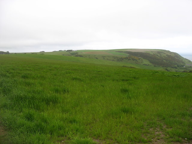
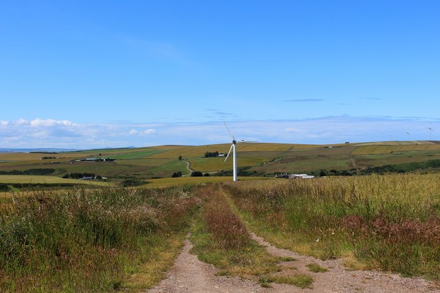
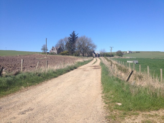
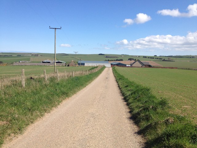
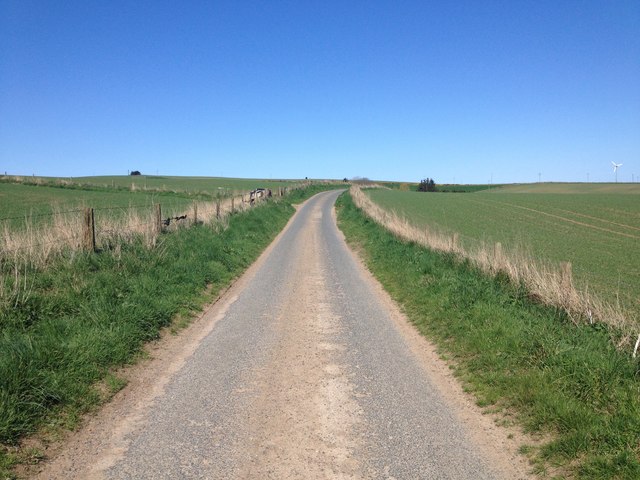
Corbie Den is a picturesque valley located in the county of Banffshire, Scotland. Nestled between rolling hills and surrounded by lush greenery, it is a haven for nature enthusiasts and those seeking tranquility. The den is situated near the village of Aberchirder and is known for its stunning natural beauty and diverse wildlife.

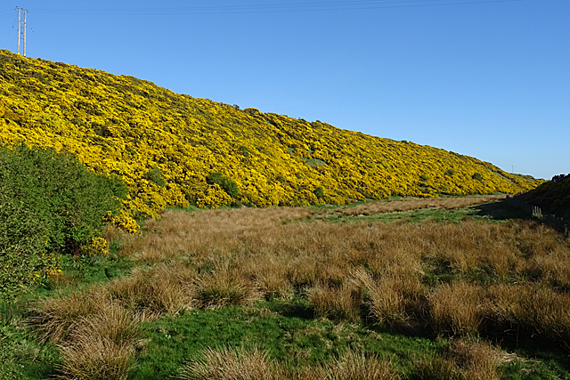
The valley is characterized by a meandering river, which adds to its charm. The crystal-clear water flows gently through the den, creating a soothing atmosphere. The riverbed is dotted with smooth pebbles, and its banks are lined with trees, providing a habitat for various bird species.

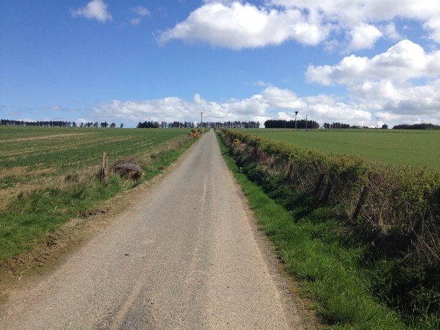
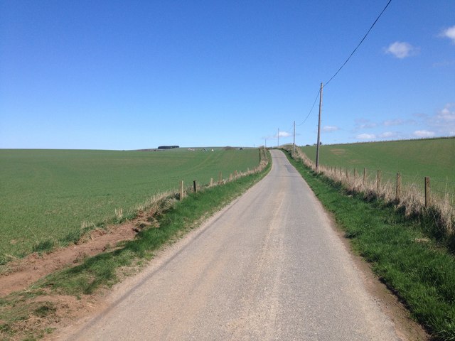
Corbie Den is a popular destination for hikers and walkers, as it offers numerous scenic trails that wind through the valley and up into the surrounding hills. These trails cater to different skill levels, making it accessible for both experienced trekkers and those looking for a leisurely stroll.

The den also boasts a rich history, with archaeological sites dating back centuries. Ancient ruins and remnants of settlements can be found, offering a glimpse into the area's past. Visitors can immerse themselves in the history and culture of Banffshire by exploring these historical sites.

For those seeking a peaceful retreat, Corbie Den provides an ideal escape. Its serene atmosphere, coupled with its natural beauty, makes it a must-visit destination for anyone looking to connect with nature and experience the tranquility of the Scottish countryside.

If you have any feedback on the listing, please let us know in the comments section below.

Corbie Den Images

Images are sourced within 2km of 57.651404/-2.3472308 or Grid Reference NJ7962. Thanks to Geograph Open Source API. All images are credited.

Gamrie Church - Graveyard A tranquil cemetery surrounded by farmland.
Gamrie Church - Graveyard
A tranquil cemetery surrounded by farmland.
Den of Afforsk Compare with <a href="https://www.geograph.org.uk/photo/1889194">NJ7863 : Bog of Minnonie</a>, taken nine years earlier when the whins were in similar bloom, but note that the pond has dried up.
Den of Afforsk
Compare with NJ7863 : Bog of Minnonie, taken nine years earlier when the whins were in similar bloom, but note that the pond has dried up.
Farmland at Dubford Above the steep gully of the Den of Findon.
Farmland at Dubford
Above the steep gully of the Den of Findon.
Road (B9031) at Greenskares Looking north-eastward
Road (B9031) at Greenskares
Looking north-eastward
Minor road between arable fields descending Hill of Greenskares Looking north-eastward.
Minor road between arable fields descending Hill of Greenskares
Looking north-eastward.
Palace Turbine A track by Palace Farm leading to a wind turbine.
Palace Turbine
A track by Palace Farm leading to a wind turbine.
Minor road near Dubford
Minor road near Hill of Troup
B9123 entering Gardenstown
Gully near Gardenstown A steep sided gully near the village of Gardenstown
Gully near Gardenstown
A steep sided gully near the village of Gardenstown
Afforsk Apart from one wall, all the old buildings at Afforsk have been replaced by new houses, complete with solar panel arrays. The road is the B9031.
Afforsk
Apart from one wall, all the old buildings at Afforsk have been replaced by new houses, complete with solar panel arrays. The road is the B9031.
Dubford This is the junction of a minor road leading to Gamrie Kirk with the B9031.
Dubford
This is the junction of a minor road leading to Gamrie Kirk with the B9031.
Power Line This power line is not on the maps. I did try to correct the apparent drunken angle of the nearest pole, but that skewed the horizon. It is clear from the further away poles that they are not all perfectly vertical in any case.
Power Line
This power line is not on the maps. I did try to correct the apparent drunken angle of the nearest pole, but that skewed the horizon. It is clear from the further away poles that they are not all perfectly vertical in any case.
Minor road near Logie
Minor road near Little Cushnie
Farm road to Guidyden of Draidland
Minor road near Mains of Draidland
Minor road near Hill of Clenterty
Show me another place!

Corbie Den is located at Grid Ref: NJ7962 (Lat: 57.651404, Lng: -2.3472308)

Unitary Authority: Aberdeenshire

Police Authority: North East

What 3 Words

///snuck.puts.episodes. Near Macduff, Aberdeenshire

Nearby Locations

Corbie Den

Related Wikis

Dubford

Dubford is a small village in northern coastal Aberdeenshire, Scotland. Dubford is situated along the B9031 road approximately 6 kilometres (3.7 mi) east...

St John's Church, Gamrie

St John's Church is a ruined church and kirkyard in the parish of Gamrie, Aberdeenshire, Scotland. The church, dedicated to St John the Evangelist, was...

Gardenstown

Gardenstown (Scots: Gamrie) is a small coastal village, 8.7 miles (14.0 km) by road east of Banff in Aberdeenshire, northeastern Scotland. The village...

Gamrie Bay

Gamrie Bay is a bay in Aberdeenshire, Scotland. The bay is between Crovie Head and More Head. The villages of Gardenstown and Crovie are located within...

Nearby Amenities

Located within 500m of 57.651404,-2.3472308
Power: pole
Lat/Long: 57.6556276/-2.3492555
Power: pole
Lat/Long: 57.6552286/-2.350441
Power: pole
Lat/Long: 57.654956/-2.351487
Power: pole
Lat/Long: 57.6547551/-2.3524097
Power: pole
Lat/Long: 57.6545312/-2.3532251
Power: pole
Lat/Long: 57.6507939/-2.3465761
Power: pole
Lat/Long: 57.6514867/-2.3460446
Power: pole
Lat/Long: 57.6511616/-2.3450921
Power: pole
Lat/Long: 57.6508253/-2.34413
Power: pole
Lat/Long: 57.6504797/-2.3431488
Power: pole
Lat/Long: 57.6501351/-2.3421809
Power: pole
Lat/Long: 57.6497957/-2.3412285
Power: pole
Lat/Long: 57.6494562/-2.340253
Power: pole
Lat/Long: 57.6494777/-2.3531543
Power: pole
Lat/Long: 57.6493937/-2.3536652
Power: pole
Lat/Long: 57.6496316/-2.351089
Power: pole
Lat/Long: 57.6499808/-2.3501086
Power: pole
Lat/Long: 57.6505864/-2.3478234
Power: pole
Lat/Long: 57.6545804/-2.3420727
Power: pole
Lat/Long: 57.6539984/-2.3414223
Power: pole
Lat/Long: 57.6551888/-2.3427191
Power: pole
Lat/Long: 57.6482762/-2.3526498
Power: pole
Lat/Long: 57.6489346/-2.3530003
Power: pole
Lat/Long: 57.6501146/-2.3547506
Power: pole
Lat/Long: 57.6492135/-2.3522564
Power: pole
Lat/Long: 57.6503487/-2.3491203
Power: pole
Lat/Long: 57.6518119/-2.3451184
Power: pole
Lat/Long: 57.6521684/-2.3441132
Power: pole
Lat/Long: 57.6525894/-2.3428992
Power: pole
Lat/Long: 57.6529173/-2.3418244
Power: pole
Lat/Long: 57.6533818/-2.3407311
Power: pole
Lat/Long: 57.6536476/-2.3498805
Power: pole
Lat/Long: 57.6532676/-2.3508717
Power: pole
Lat/Long: 57.6529185/-2.3517979
Power: pole
Lat/Long: 57.6528254/-2.3526127
Power: pole
Lat/Long: 57.6526714/-2.3538964
Power: pole
Lat/Long: 57.652074/-2.3541099
Power: pole
Lat/Long: 57.6514741/-2.3543212
Power: pole
Lat/Long: 57.6507872/-2.3545208
Power: pole
Lat/Long: 57.6533483/-2.3540008
Cushnie
Name Gd: Cuisne
Place: hamlet
Lat/Long: 57.6488143/-2.3515328
The data included in this document is from www.openstreetmap.org. The data is made available under ODbL.

Have you been to Corbie Den?

Leave your review of Corbie Den below (or comments, questions and feedback).