Bowhills Dingle
Valley in Shropshire
England
Bowhills Dingle
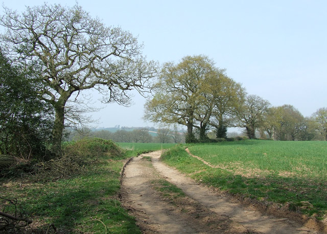
Bowhills Dingle is a picturesque valley located in the Shropshire county of England. Nestled in the heart of the Shropshire Hills Area of Outstanding Natural Beauty, this dingle offers breathtaking views and a tranquil atmosphere to visitors. The valley is situated approximately 2 miles southwest of the town of Church Stretton.
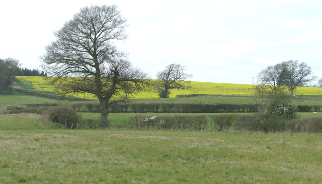
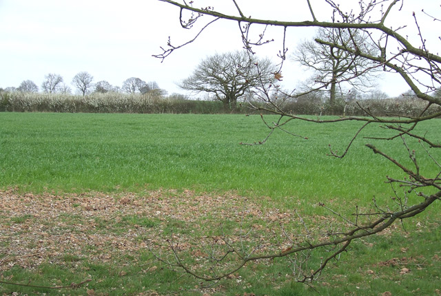
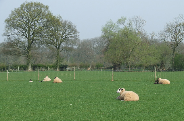
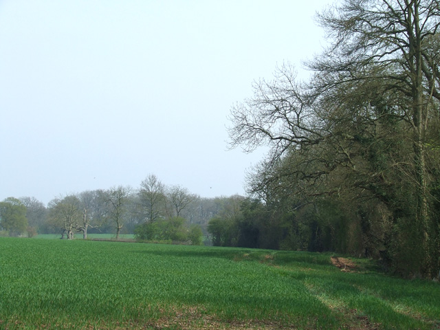
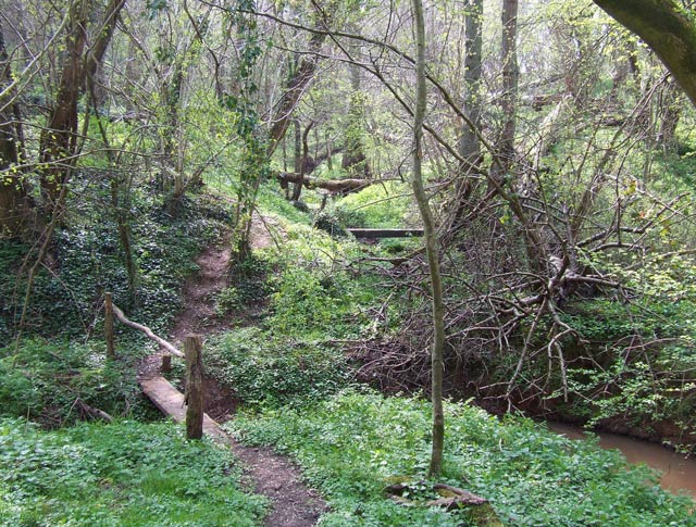
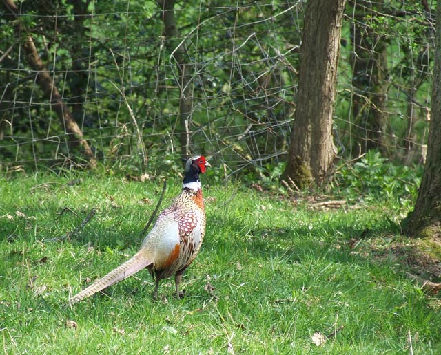
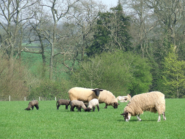
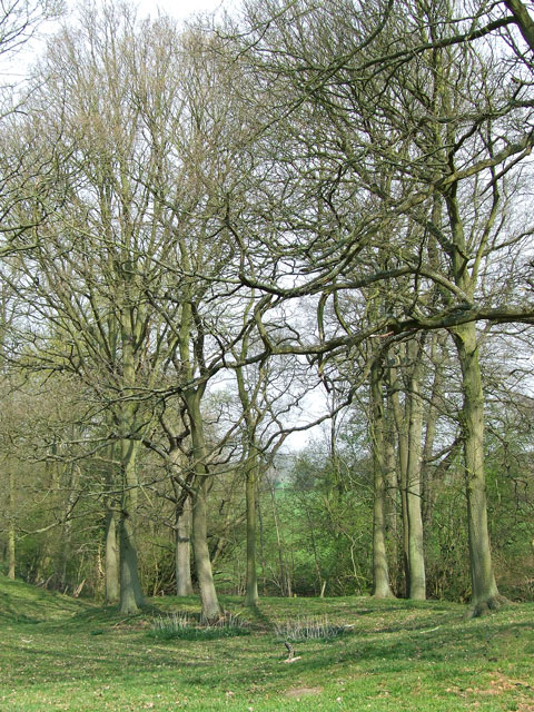
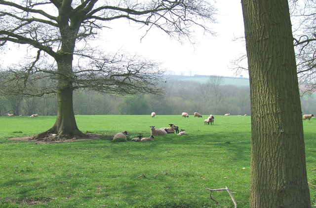
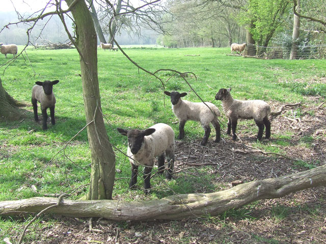
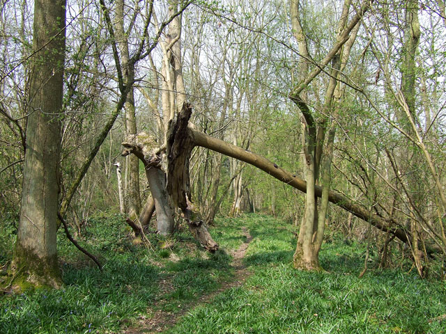
Covering an area of approximately 50 acres, Bowhills Dingle is characterized by its rolling hills, dense woodlands, and a charming stream that meanders through the valley. The dingle is home to a diverse range of plant and animal species, making it a haven for nature enthusiasts and wildlife lovers. Ancient oak trees, wildflowers, and ferns adorn the landscape, creating a vibrant and enchanting environment.
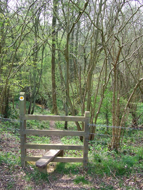
The dingle provides ample opportunities for outdoor activities such as hiking, walking, and birdwatching. There are several well-maintained trails that wind through the valley, offering visitors stunning views of the surrounding countryside. The peaceful ambiance and natural beauty of Bowhills Dingle make it a popular spot for relaxation and meditation.
In addition to its natural wonders, the dingle also boasts historical significance. Archaeological evidence suggests that the valley has been inhabited since the Iron Age, with remnants of ancient settlements and burial mounds found in the vicinity.
Overall, Bowhills Dingle is a hidden gem within Shropshire, offering visitors a chance to immerse themselves in nature, explore its rich history, and enjoy the serenity of a truly remarkable valley.
If you have any feedback on the listing, please let us know in the comments section below.
Bowhills Dingle Images
Images are sourced within 2km of 52.454093/-2.3076714 or Grid Reference SO7984. Thanks to Geograph Open Source API. All images are credited.


Bowhills Dingle is located at Grid Ref: SO7984 (Lat: 52.454093, Lng: -2.3076714)
Unitary Authority: Shropshire
Police Authority: West Mercia
What 3 Words
///undertook.slime.cliff. Near Romsley, Shropshire
Nearby Locations
Related Wikis

Romsley, Shropshire
Romsley (grid reference SO783826) is a hamlet and civil parish in southeast Shropshire, England. It is bounded on the north and west by Alveley and on...

Castle Hill, Wolverley
Castle Hill or Baron Hill is about a mile from the hamlet of Kingsford in the civil parish of Wolverley and Cookley, Worcestershire. In 1912 the site consisted...

Shatterford
Shatterford is a village in the Wyre Forest District of Worcestershire, England, located north-west of Bewdley and lies less than a mile from the county...

Alveley
Alveley is a village in the Severn Valley in southeast Shropshire, England, about 11 miles (18 km) south-southeast of Bridgnorth. It is in the civil parish...
Have you been to Bowhills Dingle?
Leave your review of Bowhills Dingle below (or comments, questions and feedback).