Little Den
Valley in Aberdeenshire
Scotland
Little Den

The requested URL returned error: 429 Too Many Requests
If you have any feedback on the listing, please let us know in the comments section below.
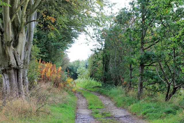
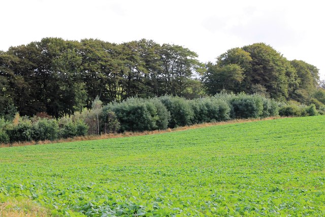
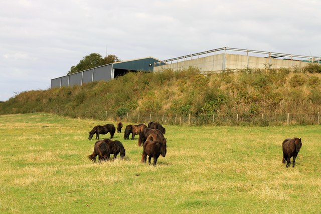
Little Den Images
Images are sourced within 2km of 57.414315/-2.352024 or Grid Reference NJ7836. Thanks to Geograph Open Source API. All images are credited.


Little Den is located at Grid Ref: NJ7836 (Lat: 57.414315, Lng: -2.352024)
Unitary Authority: Aberdeenshire
Police Authority: North East
What 3 Words
///learning.elders.input. Near Rothienorman, Aberdeenshire
Nearby Locations
Related Wikis
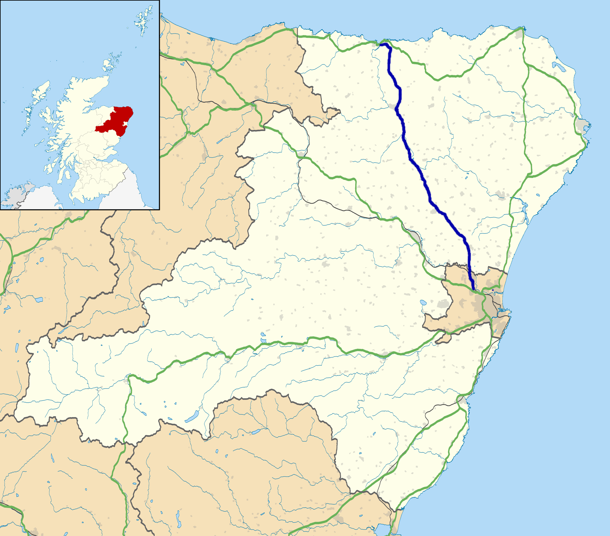
A947 road
The A947 is a single-carriageway road in Scotland that links Aberdeen to Banff via several towns in Aberdeenshire, including Newmachar, Oldmeldrum, Fyvie...

Woodhead, Aberdeenshire
Woodhead of Fyvie, often simply called "Woodhead", is an inland hamlet in Formartine, Aberdeenshire, Scotland, that lies to the east of Fyvie near the...
Fyvie
Fyvie is a village in the Formartine area of Aberdeenshire, Scotland. == Geography == Fyvie lies alongside the River Ythan and is on the A947 road. �...

Backhill
Backhill is a rural area near Woodhead of Fyvie in Aberdeenshire, Scotland. == References ==
Nearby Amenities
Located within 500m of 57.414315,-2.352024Have you been to Little Den?
Leave your review of Little Den below (or comments, questions and feedback).