Cockerton Cleuch

Valley in Roxburghshire

Scotland

Cockerton Cleuch

The Street Climb over Craik Moor.
The Street Credit: Richard Webb

Cockerton Cleuch is a picturesque valley located in Roxburghshire, a historic county in the Scottish Borders region of Scotland. Situated near the town of Hawick, this valley is renowned for its natural beauty and captivating landscapes.

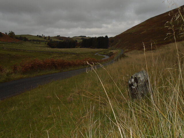
Nestled between rolling hills and surrounded by lush greenery, Cockerton Cleuch showcases the idyllic charm of the Scottish countryside. The valley is formed by the winding course of the Cleuch Burn, a small river that meanders through the valley floor. The tranquil sound of water flowing adds to the serenity of the area.

The valley is home to a diverse range of flora and fauna, including native Scottish plants such as heather, bluebells, and wild thyme. The surrounding hills also provide a habitat for various bird species and small mammals.

Cockerton Cleuch offers a haven for nature enthusiasts and outdoor adventurers. The valley is crisscrossed by a network of footpaths and trails, allowing visitors to explore its beauty at their own pace. Hiking, birdwatching, and nature photography are popular activities in the area.

Historically, the valley has served as a vital agricultural area, with farmland dotting the landscape. The nearby farms contribute to the rural charm of Cockerton Cleuch, and visitors can often catch glimpses of grazing livestock in the fields.

Overall, Cockerton Cleuch is a hidden gem in Roxburghshire, offering visitors a tranquil retreat amidst stunning natural surroundings. Its unspoiled beauty and rich biodiversity make it a must-visit destination for those seeking to connect with nature in the Scottish Borders.

If you have any feedback on the listing, please let us know in the comments section below.

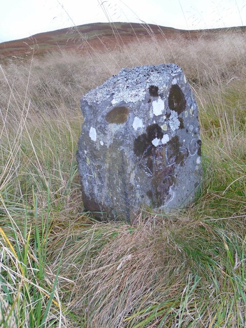
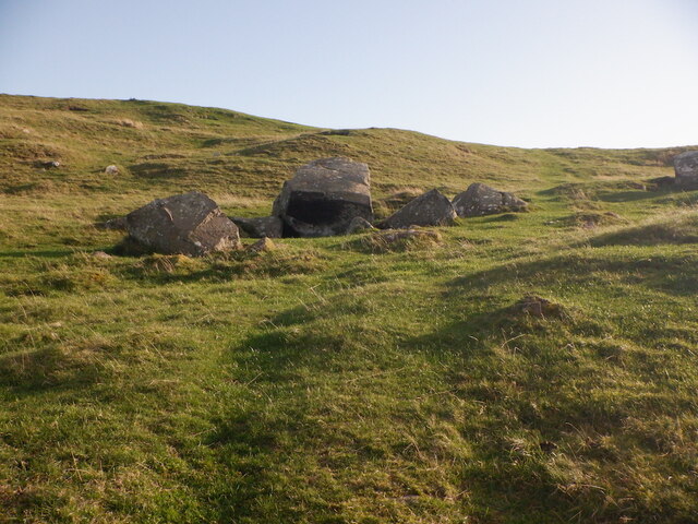
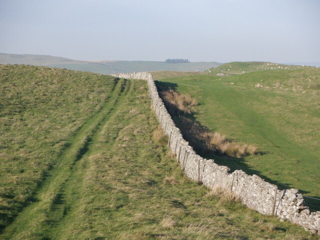
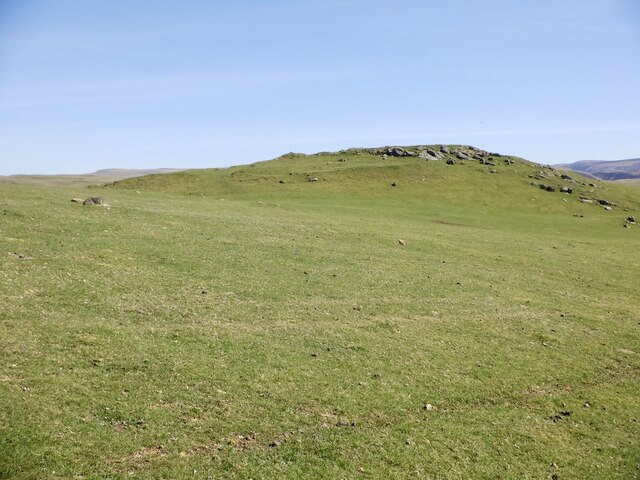
Cockerton Cleuch Images

Images are sourced within 2km of 55.450402/-2.3437575 or Grid Reference NT7817. Thanks to Geograph Open Source API. All images are credited.

The Street Climb over Craik Moor.
The Street
Climb over Craik Moor.
Berry Hills Craik Moor, Cheviot Hills.
Berry Hills
Craik Moor, Cheviot Hills.
Standing Stone near Horseshoe Wood Scale 1m <span class="nowrap"><a title="https://canmore.org.uk/site/57969/horseshoe-wood" rel="nofollow ugc noopener" href="https://canmore.org.uk/site/57969/horseshoe-wood">Link</a><img style="margin-left:2px;" alt="External link" title="External link - shift click to open in new window" src="https://s1.geograph.org.uk/img/external.png" width="10" height="10"/></span>
Standing Stone near Horseshoe Wood
Scale 1m LinkExternal link
Old milestone First photographed for the Milestone Society in 2010 this milestone in the Kale Water valley south of Chatto has gained a few more lichens and some moss.   H is for Hindhope which is at the end of tarmac but this would have been an old drovers' route over the hills southwards into England.
Old milestone
First photographed for the Milestone Society in 2010 this milestone in the Kale Water valley south of Chatto has gained a few more lichens and some moss. H is for Hindhope which is at the end of tarmac but this would have been an old drovers' route over the hills southwards into England.
Old milestone The view northwards on a dull day from the milestone towards Chatto with the Kale Water alongside the road.  This area of the Borders was Roxburghshire prior to the 1970s.
Old milestone
The view northwards on a dull day from the milestone towards Chatto with the Kale Water alongside the road. This area of the Borders was Roxburghshire prior to the 1970s.
Smithy, Hownam
Smithy, Hownam
Hownam The telephone box was still in service.
Hownam
The telephone box was still in service.
Boulders below Hownam Rings
Old boundary above Hownam There was a fence here too until recently. Boundary earthwalls are a common feature here.
Old boundary above Hownam
There was a fence here too until recently. Boundary earthwalls are a common feature here.
Above Hownam The Street runs left of the plantation.
Above Hownam
The Street runs left of the plantation.
Road to See Few and Belford A very good quality road off The Street down to Belford on the Bowmont Water.
Road to See Few and Belford
A very good quality road off The Street down to Belford on the Bowmont Water.
Farm track on Windy Law A "No Through Road", The Street is on the other side of the dyke.
Farm track on Windy Law
A "No Through Road", The Street is on the other side of the dyke.
Dyke, Windy Law The Street is on the right of the dyke. The quadbike track just loops around a field.
Dyke, Windy Law
The Street is on the right of the dyke. The quadbike track just loops around a field.
Summit, Windy Law One of the possible summits - there are several bumps about the same height.
Summit, Windy Law
One of the possible summits - there are several bumps about the same height.
The Street Hownam bound drove road at the pass below Windy Law. A path crosses the pass while The Street runs along the ridge.
The Street
Hownam bound drove road at the pass below Windy Law. A path crosses the pass while The Street runs along the ridge.
Signpost, The Street At the junction with the grassed over road to Belford.
Signpost, The Street
At the junction with the grassed over road to Belford.
The Street passing Horseshoe Wood Above Hownam.
The Street passing Horseshoe Wood
Above Hownam.
Chatto Craig A  rocky top with a hill fort.
Chatto Craig
A rocky top with a hill fort.
Show me another place!

Cockerton Cleuch is located at Grid Ref: NT7817 (Lat: 55.450402, Lng: -2.3437575)

Unitary Authority: The Scottish Borders

Police Authority: The Lothians and Scottish Borders

What 3 Words

///disbelief.item.transcribes. Near Jedburgh, Scottish Borders

Nearby Locations

Cockerton Cleuch

Related Wikis

Hownam

Hownam or Hounam is a small village and parish situated 8 miles east of Jedburgh in the Scottish Borders area of Scotland, near the Anglo-Scottish border...

Pennymuir Roman camps

The Pennymuir Roman camps are situated southeast of Jedburgh in the Scottish Borders area of Scotland, near the Anglo-Scottish border, in the former Roxburghshire...

Mowhaugh

Mowhaugh is a hamlet and farm steading near the Calroust Burn and the Bowmont Water, near Morebattle, in the Scottish Borders area of Scotland, and in...

Windy Gyle

Windy Gyle is a mountain in the Cheviot Hills range, on the border between England and Scotland. Like the other hills in the area, it is rounded and grass...

Nearby Amenities

Located within 500m of 55.450402,-2.3437575
Power: pole
Lat/Long: 55.4540027/-2.3396813
Power: pole
Lat/Long: 55.4533807/-2.3391741
Power: pole
Lat/Long: 55.4527747/-2.3386977
Power: pole
Lat/Long: 55.4522622/-2.3382625
Power: pole
Lat/Long: 55.4517715/-2.3378789
Power: pole
Lat/Long: 55.4512626/-2.337454
Power: pole
Lat/Long: 55.4508486/-2.3371798
Power: pole
Lat/Long: 55.4503083/-2.3368206
Power: pole
Lat/Long: 55.4507625/-2.3365914
Power: pole
Lat/Long: 55.4507157/-2.3363262
Power: pole
Lat/Long: 55.4496636/-2.336388
Power: pole
Lat/Long: 55.4492225/-2.3361021
The data included in this document is from www.openstreetmap.org. The data is made available under ODbL.

Have you been to Cockerton Cleuch?

Leave your review of Cockerton Cleuch below (or comments, questions and feedback).