Raven's Coombe

Valley in Gloucestershire Stroud

England

Raven's Coombe

Grade II Listed Hillesley War Memorial, Gloucestershire The Cotswold limestone War Memorial located on a triangular green at a main road 
junction was erected c1921 to commemorate the 13 men of the village who lost
their lives in the Great War (First World War). Grade II Listed in 2013.
Grade II Listed Hillesley War Memorial, Gloucestershire Credit: Jaggery

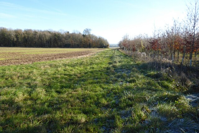
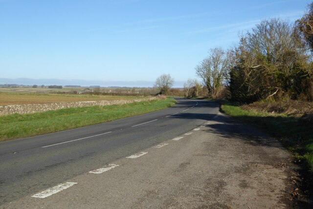
Raven's Coombe is a picturesque valley located in the county of Gloucestershire, England. Nestled amidst the beautiful rolling hills of the Cotswolds, this valley is renowned for its breathtaking natural beauty and tranquil surroundings.

With its idyllic setting, Raven's Coombe offers visitors a peaceful escape from the hustle and bustle of city life. The valley is characterized by lush green meadows, dense woodlands, and meandering streams that add to its charm. The landscape is dotted with ancient oak trees, providing a sense of timelessness and serenity.

The valley is a haven for wildlife enthusiasts and nature lovers, as it is home to a diverse range of flora and fauna. Walking trails crisscross the area, allowing visitors to explore its hidden gems at their own pace. The valley is also a popular spot for birdwatching, with a variety of species making their homes in the trees and bushes.

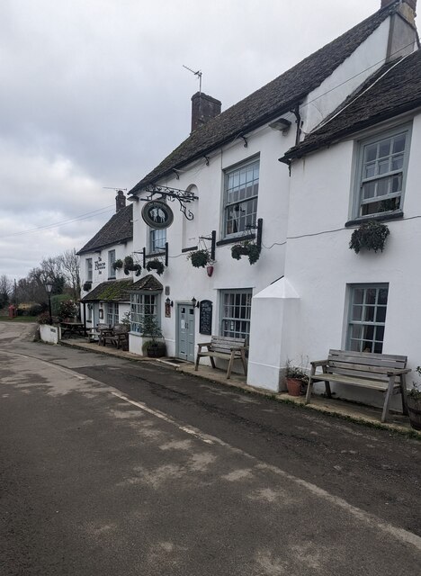
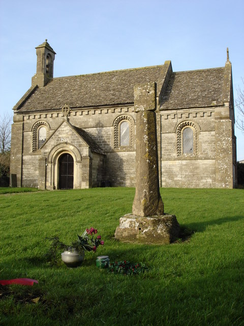
Raven's Coombe is steeped in history, with evidence of human habitation dating back centuries. The remains of an Iron Age hillfort can be found atop one of the hills, offering a glimpse into the region's ancient past. Additionally, there are remnants of old farmsteads and stone walls that speak to the valley's agricultural heritage.

Visitors to Raven's Coombe can enjoy a range of outdoor activities, including hiking, picnicking, and photography. The valley's natural beauty and peaceful atmosphere make it an ideal destination for those seeking a retreat in the heart of nature.

If you have any feedback on the listing, please let us know in the comments section below.

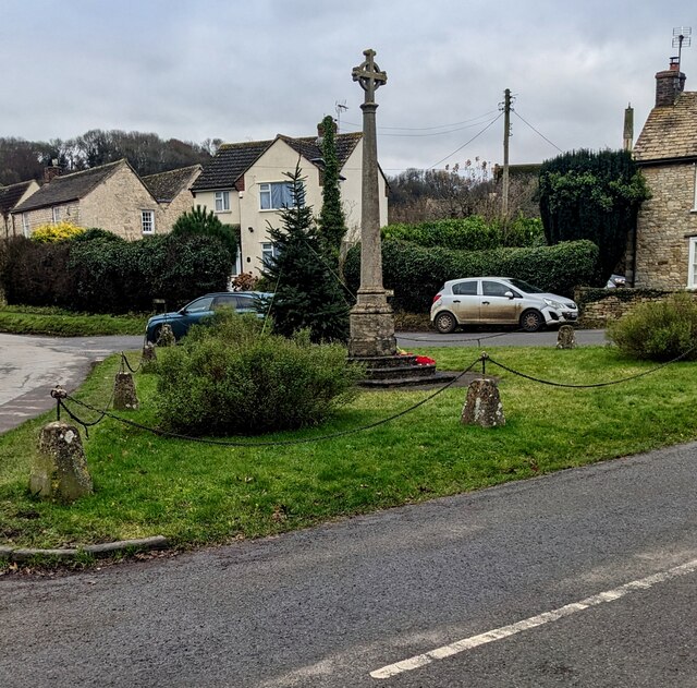
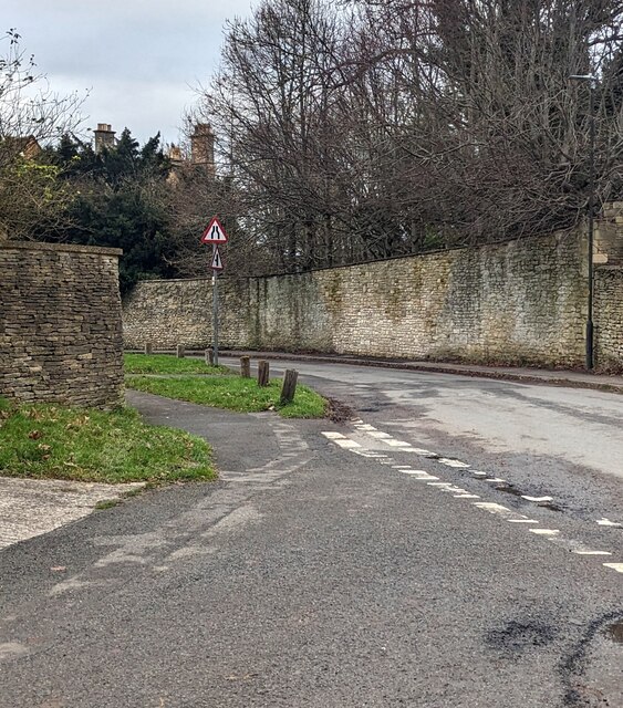
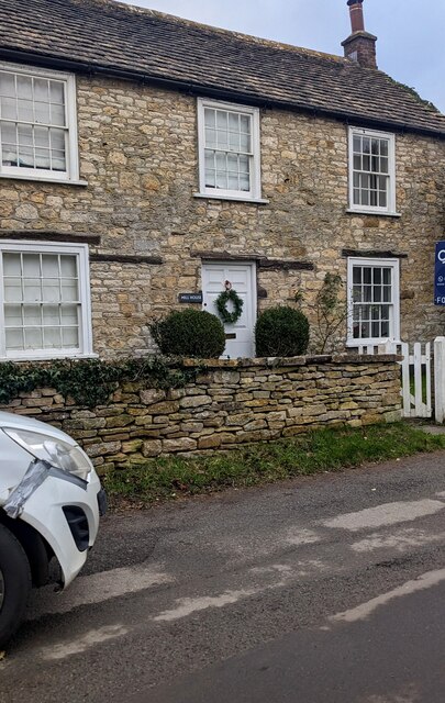
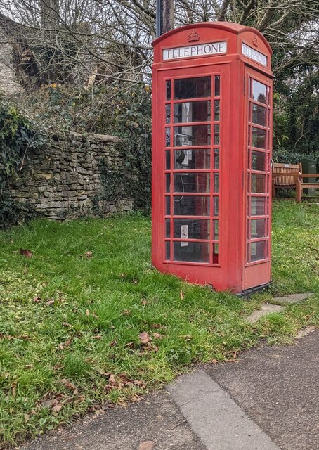
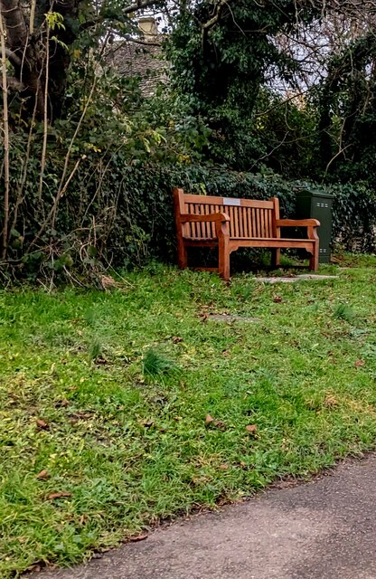
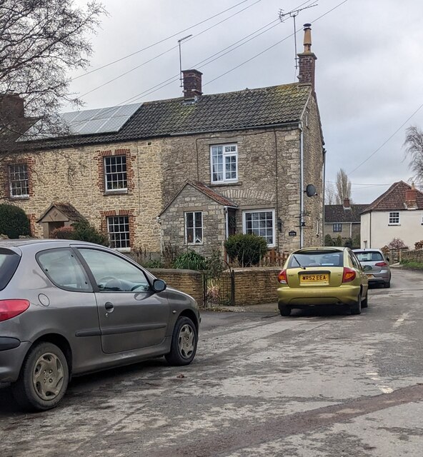
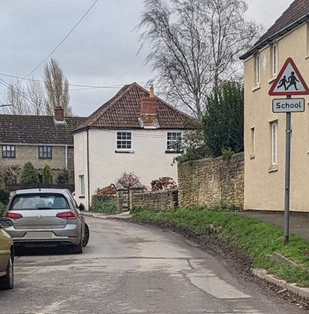
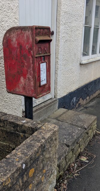
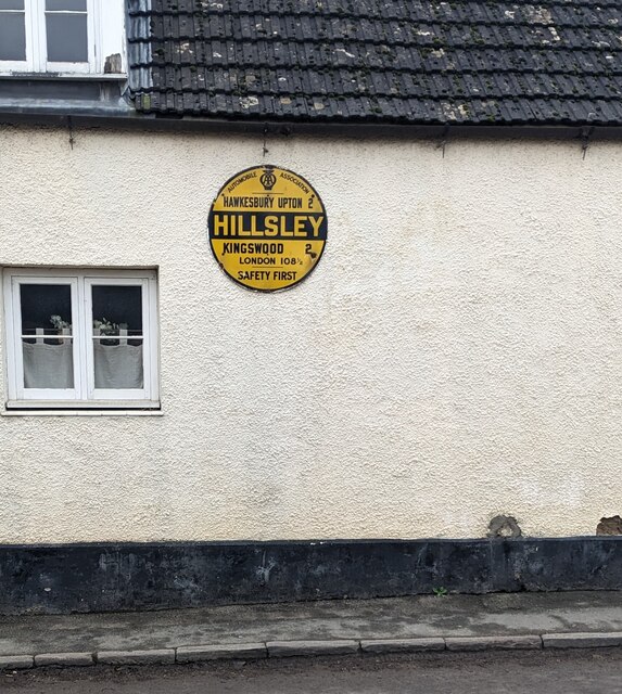
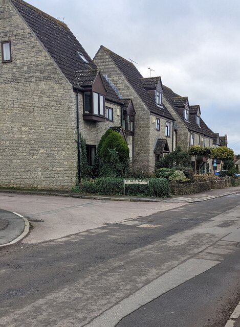
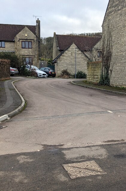
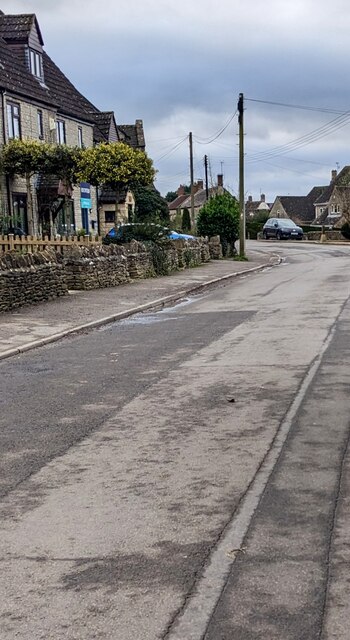
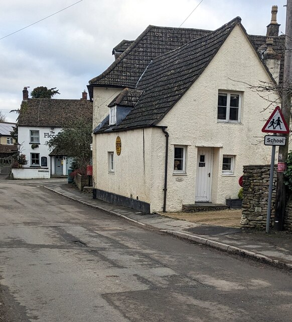
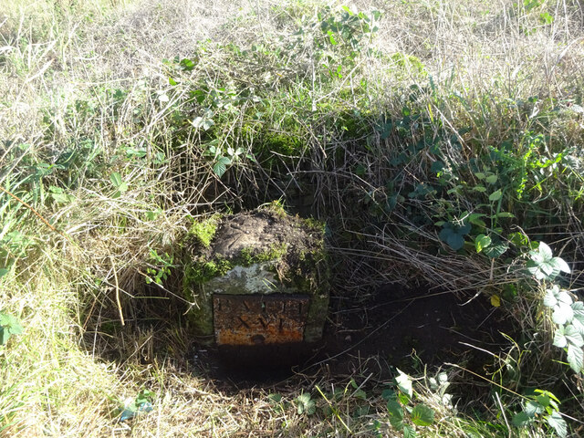
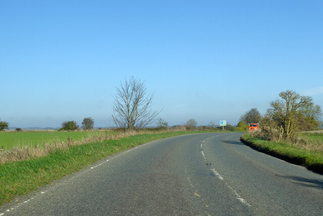
Raven's Coombe Images

Images are sourced within 2km of 51.601876/-2.3141456 or Grid Reference ST7889. Thanks to Geograph Open Source API. All images are credited.

Grade II Listed Hillesley War Memorial, Gloucestershire The Cotswold limestone War Memorial located on a triangular green at a main road 
junction was erected c1921 to commemorate the 13 men of the village who lost
their lives in the Great War (First World War). Grade II Listed in 2013.
Grade II Listed Hillesley War Memorial, Gloucestershire
The Cotswold limestone War Memorial located on a triangular green at a main road junction was erected c1921 to commemorate the 13 men of the village who lost their lives in the Great War (First World War). Grade II Listed in 2013.
Junction in Hillesley, Gloucestershire Looking to the NE towards Alderley Road. 
The village War Memorial <a title="https://www.geograph.org.uk/photo/7674707" href="https://www.geograph.org.uk/photo/7674707">Link</a> is near the camera.
Junction in Hillesley, Gloucestershire
Looking to the NE towards Alderley Road. The village War Memorial Link is near the camera.
Mill House, Hillesley, Gloucestershire Grade II Listed house opposite the War Memorial. <a title="https://www.geograph.org.uk/photo/7674707" href="https://www.geograph.org.uk/photo/7674707">Link</a>
Mill House, Hillesley, Gloucestershire
Grade II Listed house opposite the War Memorial. Link
Red phonebox on grass, Hillesley, Gloucestershire Grade II Listed Type K6 cast iron phonebox.
Red phonebox on grass, Hillesley, Gloucestershire
Grade II Listed Type K6 cast iron phonebox.
Wooden bench on grass,  Hillesley, Gloucestershire, In the background here. <a title="https://www.geograph.org.uk/photo/7674722" href="https://www.geograph.org.uk/photo/7674722">Link</a>
Wooden bench on grass, Hillesley, Gloucestershire,
In the background here. Link
Rooftop solar panels, Hillesley, Gloucestershire On a west-facing roof.
Rooftop solar panels, Hillesley, Gloucestershire
On a west-facing roof.
Warning sign - school, Hillesley, Gloucestershire On the approach to Hillesley Church of England Primary School.
Warning sign - school, Hillesley, Gloucestershire
On the approach to Hillesley Church of England Primary School.
Queen Elizabeth II postbox, High Street, Hillesley, Gloucestershire In need of a repaint in December 2023.
Queen Elizabeth II postbox, High Street, Hillesley, Gloucestershire
In need of a repaint in December 2023.
Yellow roundel on a High Street wall, Hillesley, Gloucestershire The AA (Automobile Association) roundel shows
HAWKESBURY UPTON 2
HILLSLEY
KINGSWOOD 2
LONDON 108½
SAFETY FIRST

The roundel shows HILLSLEY, which is how the village name was previously spelt. 
It is now HILLESLEY as seen here <a title="https://www.geograph.org.uk/photo/7673230" href="https://www.geograph.org.uk/photo/7673230">Link</a>
Yellow roundel on a High Street wall, Hillesley, Gloucestershire
The AA (Automobile Association) roundel shows HAWKESBURY UPTON 2 HILLSLEY KINGSWOOD 2 LONDON 108½ SAFETY FIRST The roundel shows HILLSLEY, which is how the village name was previously spelt. It is now HILLESLEY as seen here Link
Junction of St Giles Barton and High Street, Hillesley, Gloucestershire From the left, the cul-de-sac St Giles Barton joins High Street.
Junction of St Giles Barton and High Street, Hillesley, Gloucestershire
From the left, the cul-de-sac St Giles Barton joins High Street.
St Giles Barton, Hillesley, Gloucestershire Cul-de-sac viewed across High Street
St Giles Barton, Hillesley, Gloucestershire
Cul-de-sac viewed across High Street
SSW along High Street, Hillesley, Gloucestershire Viewed from opposite the St Giles Barton <a title="https://www.geograph.org.uk/photo/7675345" href="https://www.geograph.org.uk/photo/7675345">Link</a> junction.
SSW along High Street, Hillesley, Gloucestershire
Viewed from opposite the St Giles Barton Link junction.
Post Office Cottage, Hillesley, Gloucestershire This <a title="https://www.geograph.org.uk/photo/7675335" href="https://www.geograph.org.uk/photo/7675335">Link</a> AA roundel is on the cottage side wall.
Post Office Cottage, Hillesley, Gloucestershire
This Link AA roundel is on the cottage side wall.
Old Milestone, A46 In the parish of Hawkesbury, just North of Starveall. On the Eastern verge, buried up to half of the existing original plate. Rivet Benchmark representing 189.7 m ASL. 

Inscription: Bath / XVI / Glou / XXII

Milestone Society National ID: GL_BAGL16
Old Milestone, A46
In the parish of Hawkesbury, just North of Starveall. On the Eastern verge, buried up to half of the existing original plate. Rivet Benchmark representing 189.7 m ASL. Inscription: Bath / XVI / Glou / XXII Milestone Society National ID: GL_BAGL16
A46 heading north Towards Stroud.
A46 heading north
Towards Stroud.
Restricted byway to Oldbury on the Hill This right of way across farmland is just metres to the north of the county boundary between Gloucestershire and South Gloucestershire.
Restricted byway to Oldbury on the Hill
This right of way across farmland is just metres to the north of the county boundary between Gloucestershire and South Gloucestershire.
The A46 near Upper Kilcot
The Fleece Inn, Hillesley, Gloucestershire Viewed across Chapel Lane.
The Fleece Inn, Hillesley, Gloucestershire
Viewed across Chapel Lane.
Show me another place!

Raven's Coombe is located at Grid Ref: ST7889 (Lat: 51.601876, Lng: -2.3141456)

Administrative County: Gloucestershire

District: Stroud

Police Authority: Gloucestershire

What 3 Words

///engulfing.they.arranged. Near Wotton-under-Edge, Gloucestershire

Related Wikis

Hillesley and Tresham

Hillesley and Tresham is a civil parish in the Stroud District of Gloucestershire, England. It had a population of 591 according to the 2001 census, decreasing...

Midger

Midger (grid reference ST797895) is a 65.7-hectare (162-acre) biological Site of Special Scientific Interest straddling the border of Gloucestershire and...

Hillesley

Hillesley is a village in Gloucestershire, England. It was transferred from the county of Avon in 1991 and is now in Stroud District. The village forms...

Upton Coombe

Upton Coombe (grid reference ST789877) is a 7.4 hectare biological Site of Special Scientific Interest near the village of Hawkesbury Upton, South Gloucestershire...

Lord Robert Somerset

General Lord Robert Edward Henry Somerset (19 December 1776 – 1 September 1842) was a British soldier who fought during the Peninsular War and the War...

Hawkesbury, Gloucestershire

Hawkesbury is a hamlet and civil parish in the area of the South Gloucestershire unitary authority in England. The hamlet, consisting of a few cottages...
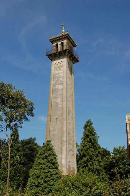
Somerset Monument

The Somerset Monument in Hawkesbury Upton, Gloucestershire, England was built in 1846 to commemorate Lord Robert Edward Somerset. It is a Grade II* listed...

Tresham

Tresham is a village in Gloucestershire, England. It was transferred back from the county of Avon in 1991, having been in Gloucestershire before 1972....

Nearby Amenities

Located within 500m of 51.601876,-2.3141456
Lower Kilcott
Place: hamlet
Lat/Long: 51.5996019/-2.3080548
Power: pole
Lat/Long: 51.6049258/-2.3186487
Power: pole
Lat/Long: 51.6044585/-2.317099
Power: pole
Lat/Long: 51.6040167/-2.3156302
Power: pole
Lat/Long: 51.6034253/-2.3147206
Power: pole
Lat/Long: 51.6026142/-2.3134855
Power: pole
Lat/Long: 51.603566/-2.3140093
Power: pole
Lat/Long: 51.6037902/-2.3128873
Power: pole
Lat/Long: 51.60381/-2.3128059
Power: pole
Lat/Long: 51.6041696/-2.3109974
Power: pole
Lat/Long: 51.6044991/-2.3093855
Power: pole
Lat/Long: 51.6043374/-2.3101765
Power: pole
Lat/Long: 51.6020544/-2.3126496
Power: pole
Lat/Long: 51.6014336/-2.3117122
Power: pole
Lat/Long: 51.6007544/-2.3106859
Power: pole
Lat/Long: 51.5999959/-2.3095498
The data included in this document is from www.openstreetmap.org. The data is made available under ODbL.

Have you been to Raven's Coombe?

Leave your review of Raven's Coombe below (or comments, questions and feedback).