Burst Clough
Valley in Lancashire Ribble Valley
England
Burst Clough
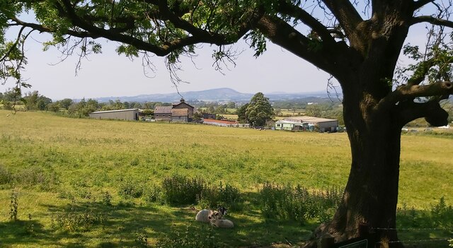
Burst Clough is a picturesque valley located in the county of Lancashire, England. Nestled within the Pennine Hills, this tranquil landscape offers visitors a stunning natural beauty and a wealth of outdoor activities.
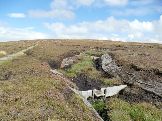
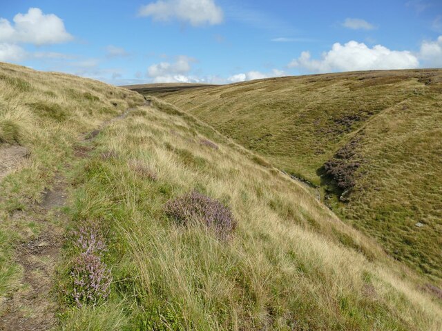
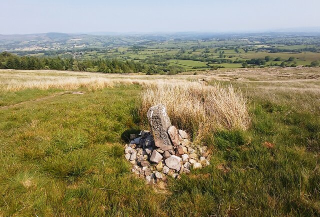
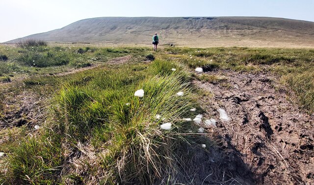
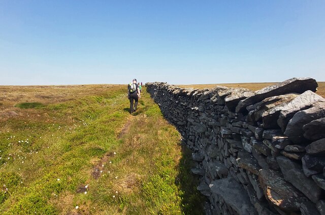
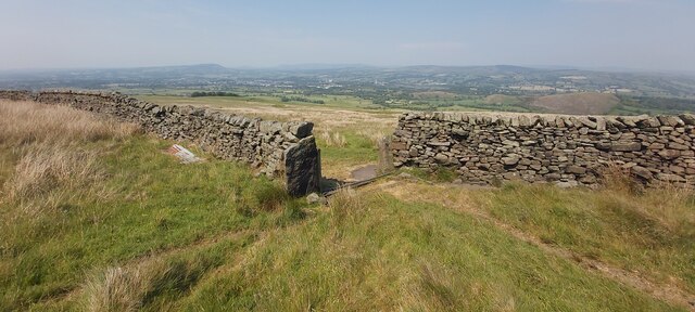
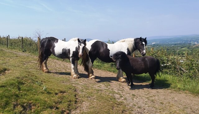
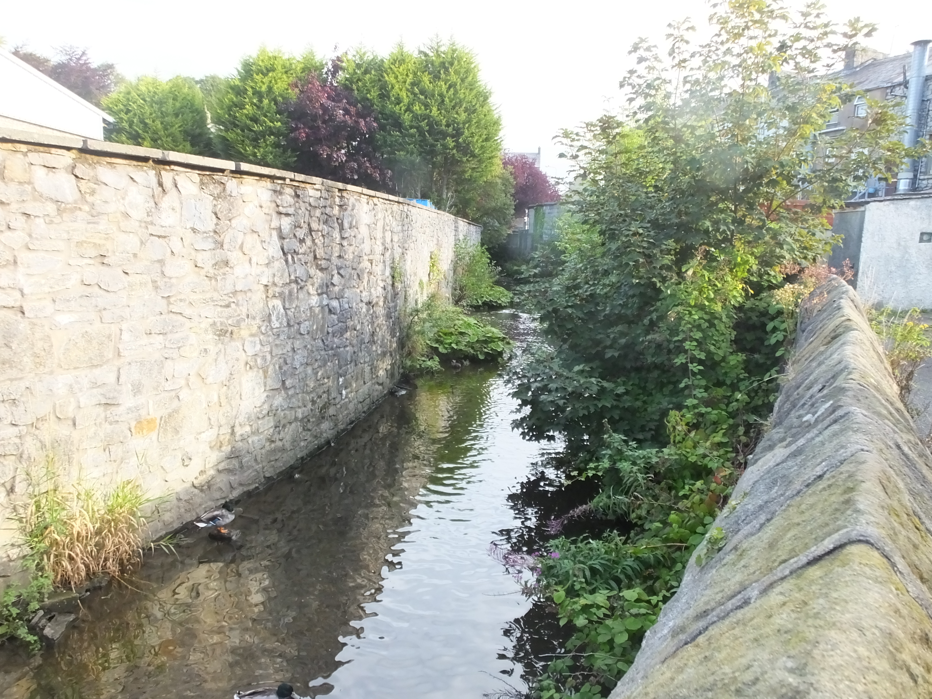
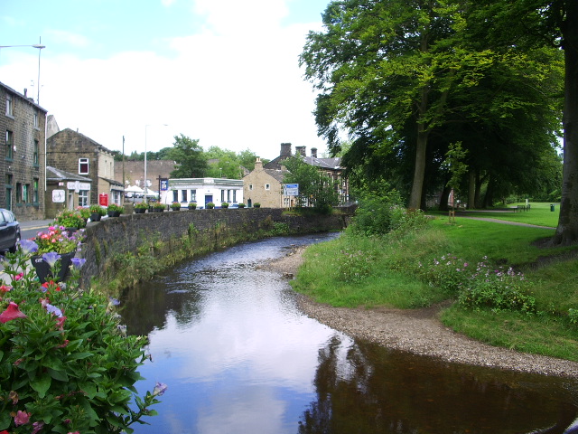
The valley is characterized by its lush greenery, rolling hills, and a meandering river that runs through the heart of it. Burst Clough is a haven for nature lovers and hikers, with numerous walking trails that provide breathtaking views of the surrounding countryside. The valley is also home to an abundance of wildlife, including deer, birds, and various species of flora and fauna.
Burst Clough is known for its peaceful and serene atmosphere, making it a popular destination for those seeking a break from the bustling city life. The valley offers a range of recreational activities, such as fishing, cycling, and picnicking, making it an ideal spot for a family outing or a peaceful retreat.
In addition to its natural beauty, Burst Clough boasts a rich history. The valley has evidence of human settlement dating back to prehistoric times, with archaeological finds including ancient tools and burial sites. It is believed that the valley was once inhabited by Celtic tribes before the Romans arrived in the area.
Overall, Burst Clough is a hidden gem in Lancashire, offering visitors a peaceful escape into nature and a glimpse into the region's fascinating history. Whether exploring the walking trails, enjoying a picnic by the river, or simply taking in the breathtaking views, Burst Clough promises a memorable and rejuvenating experience for all who visit.
If you have any feedback on the listing, please let us know in the comments section below.
Burst Clough Images
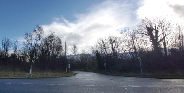
Images are sourced within 2km of 53.874602/-2.3334021 or Grid Reference SD7842. Thanks to Geograph Open Source API. All images are credited.


Burst Clough is located at Grid Ref: SD7842 (Lat: 53.874602, Lng: -2.3334021)
Administrative County: Lancashire
District: Ribble Valley
Police Authority: Lancashire
What 3 Words
///comforted.inquest.reefs. Near Chatburn, Lancashire
Nearby Locations
Related Wikis

Worston
Worston is a small linear village and civil parish in Lancashire, England. The village is north-west of Pendle Hill, east of Clitheroe, and is in the Ribble...
Mearley Brook
Mearley Brook is a minor river in Lancashire, England. It is approximately 4.5 miles (7.2 km) long and has a catchment area of 8.79 square miles (22.77...

Mearley
Mearley is a civil parish in Lancashire, England. The parish is north-west of Pendle Hill, east of Clitheroe, and is in the Ribble Valley district. It...
Pendle Water
Pendle Water is a minor river in Lancashire, England. Rising on Pendle Hill, Pendle Water cuts a deep valley between Barley Moor and Spence Hill, where...
Nearby Amenities
Located within 500m of 53.874602,-2.3334021Have you been to Burst Clough?
Leave your review of Burst Clough below (or comments, questions and feedback).