Deep Clough
Valley in Lancashire
England
Deep Clough

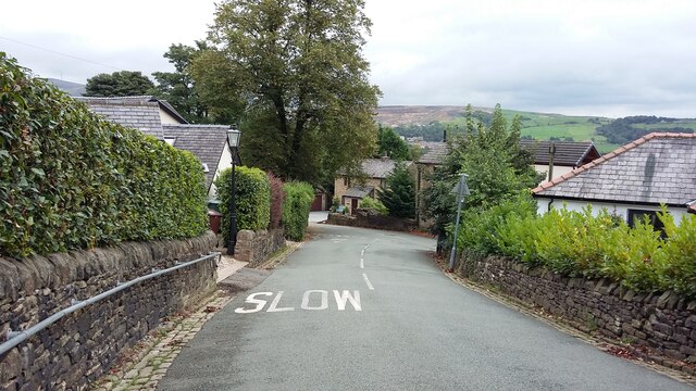
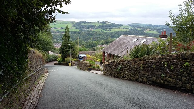
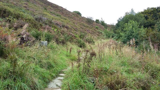
Deep Clough is a picturesque valley located in the county of Lancashire, England. Nestled in the heart of the stunning Rossendale Valley, it is renowned for its natural beauty and tranquility. The valley is named after the small stream, Deep Clough Brook, which gently meanders through its lush green landscape.
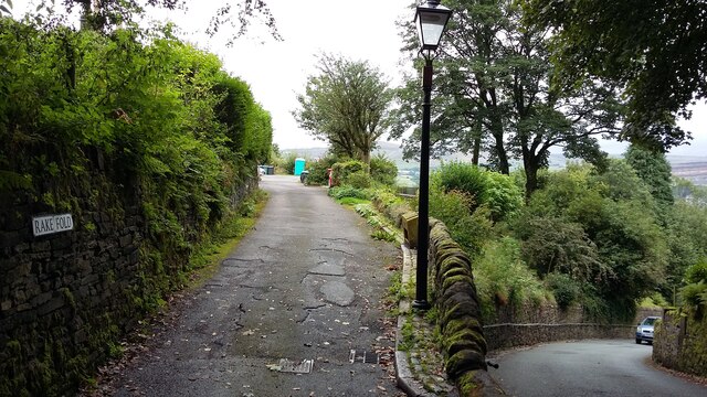
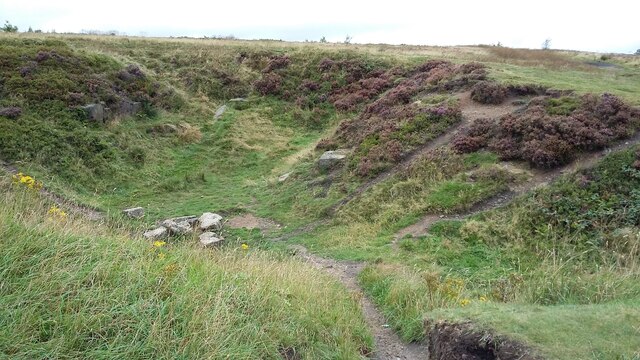
Characterized by rolling hills and wooded areas, Deep Clough offers a haven for nature enthusiasts and outdoor adventurers. The valley is home to a diverse range of flora and fauna, making it an ideal spot for wildlife observation and conservation. Visitors can explore the various walking trails and footpaths that wind their way through the valley, immersing themselves in the peaceful surroundings and enjoying breathtaking views of the surrounding hills.
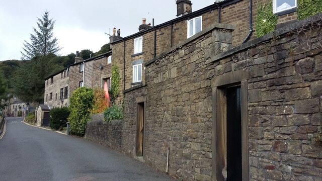
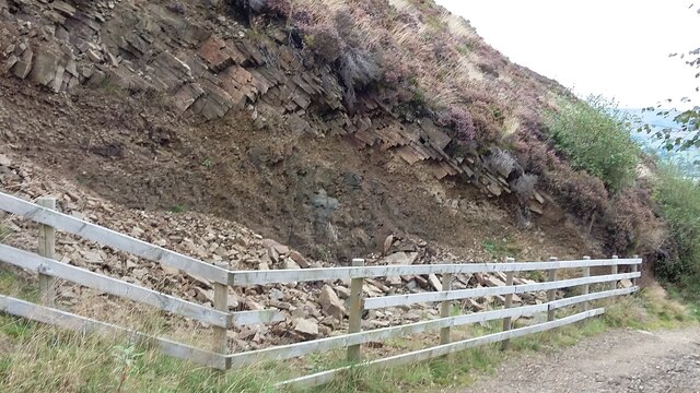
Deep Clough also holds historical significance, with remnants of old mills and mining sites scattered throughout the area. These remnants serve as a reminder of the valley's industrial past, which was primarily centered around cotton production and coal mining. Today, the valley has evolved into a popular tourist destination, attracting visitors with its rich heritage and natural attractions.
The tranquil ambiance of Deep Clough, coupled with its idyllic setting, makes it an ideal destination for those seeking respite from the hustle and bustle of city life. Whether it's a leisurely stroll, a picnic by the stream, or simply soaking in the beauty of nature, Deep Clough offers a truly enchanting experience for all who visit.
If you have any feedback on the listing, please let us know in the comments section below.
Deep Clough Images
Images are sourced within 2km of 53.649631/-2.3333784 or Grid Reference SD7817. Thanks to Geograph Open Source API. All images are credited.
![239 metre spot height, Holcombe At the junction of Chapel Lane and Helmshore Road [B6214], in the centre of the village.](https://s0.geograph.org.uk/geophotos/06/96/36/6963668_61ef1950.jpg)
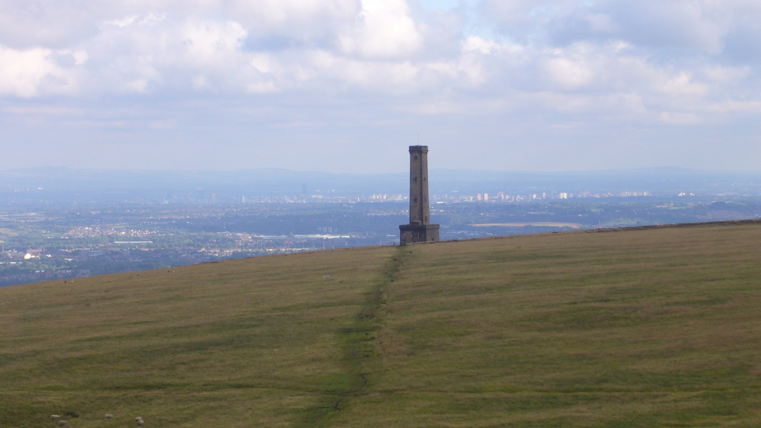
![Peel Monument, Holcombe Hill, from the south The monument commemorates the politician Sir Robert Peel [1788-1850] who was born in Bury. It was built from local stone and completed in 1852.](https://s2.geograph.org.uk/geophotos/06/96/36/6963690_36097a4c.jpg)
Deep Clough is located at Grid Ref: SD7817 (Lat: 53.649631, Lng: -2.3333784)
Unitary Authority: Bury
Police Authority: Greater Manchester
What 3 Words
///awakening.once.rescuer. Near Ramsbottom, Manchester
Nearby Locations
Related Wikis
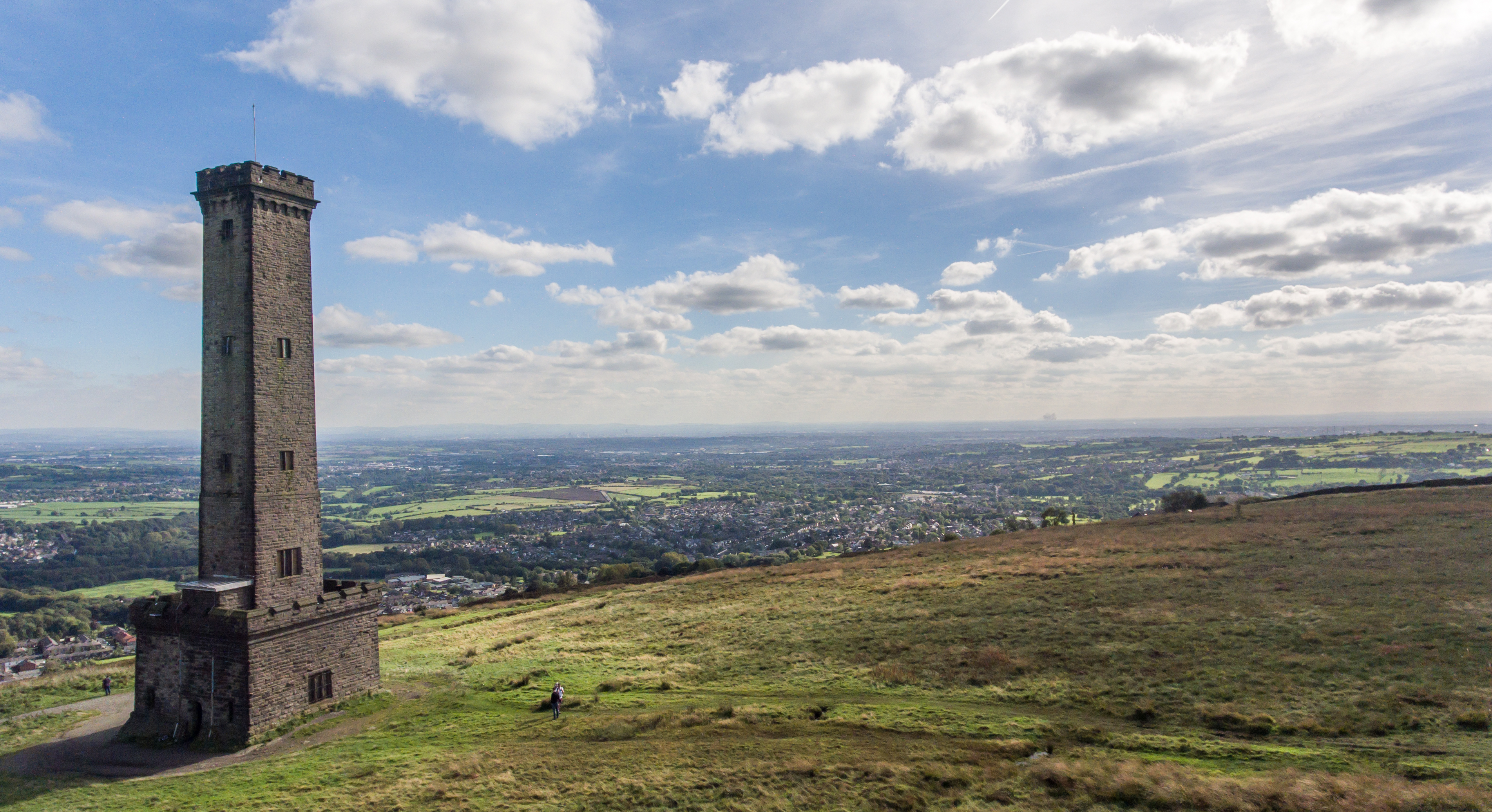
Peel Monument, Ramsbottom
See peel tower for the generic structureThe Peel Monument at Ramsbottom, Lancashire, England, is one of two monuments erected in memory of Bury-born Prime...
Holcombe, Greater Manchester
Holcombe is a village in Ramsbottom ward, Metropolitan Borough of Bury, in Greater Manchester, England. It is situated south of Haslingden, east of Edgworth...

Ramsbottom
Ramsbottom is a market town in the Metropolitan Borough of Bury, Greater Manchester, England. The population at the 2011 census was 17,872.Historically...
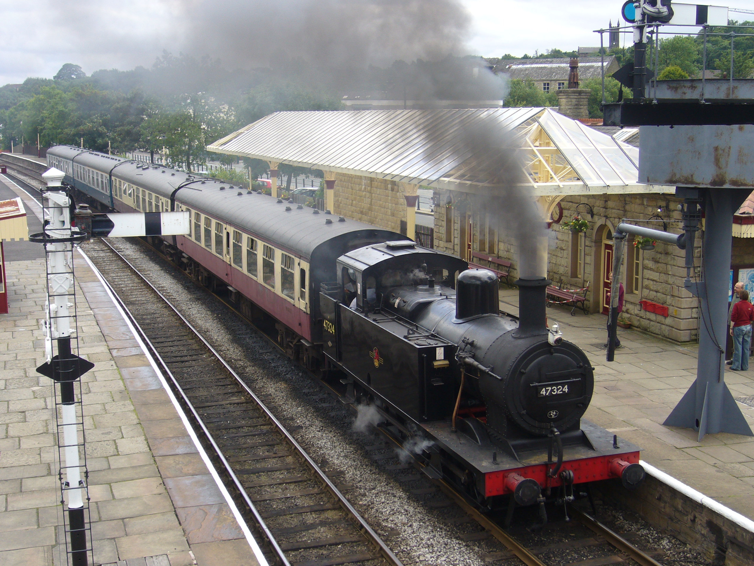
Ramsbottom railway station
Ramsbottom railway station is a heritage station serving the town of Ramsbottom in Greater Manchester, England. == History == The station was built by...
Nearby Amenities
Located within 500m of 53.649631,-2.3333784Have you been to Deep Clough?
Leave your review of Deep Clough below (or comments, questions and feedback).