Bateman's Dingle
Valley in Staffordshire Wyre Forest
England
Bateman's Dingle
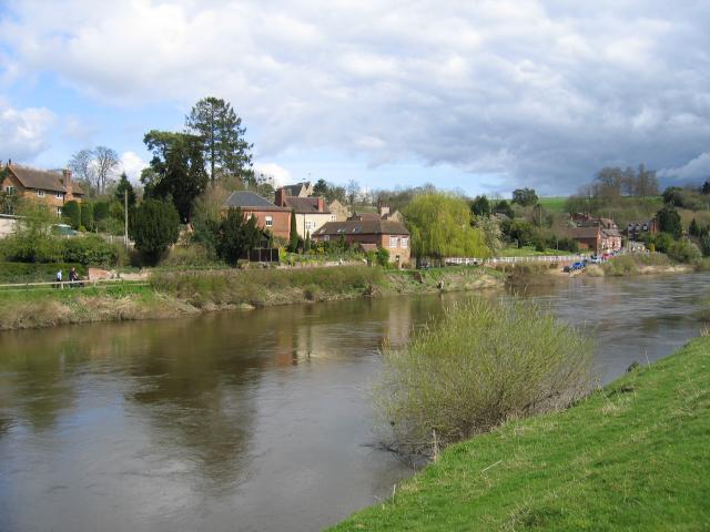
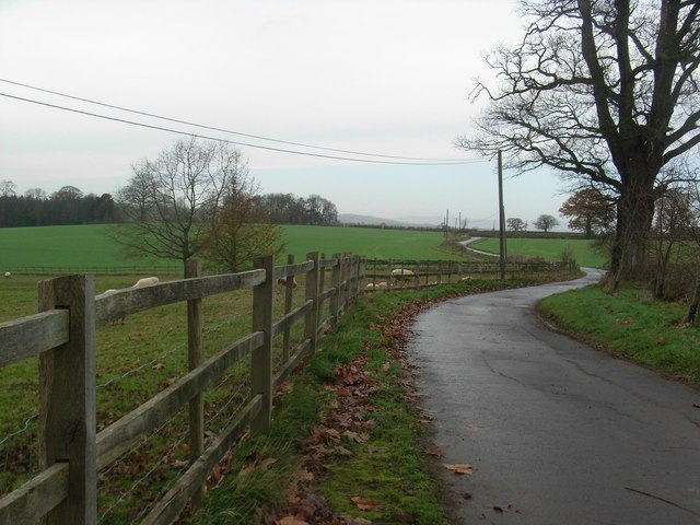
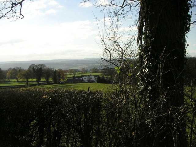
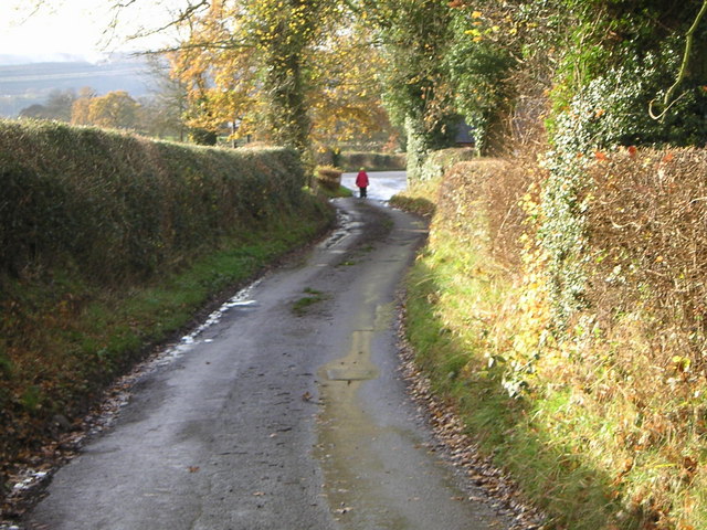
Bateman's Dingle is a picturesque valley located in Staffordshire, England. Nestled amidst the rolling hills and lush greenery, it is a hidden gem that offers a tranquil escape from the bustling city life. The dingle is situated near the village of Brewood, just a short distance from the city of Stafford.
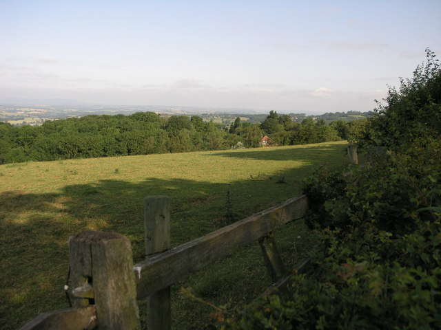
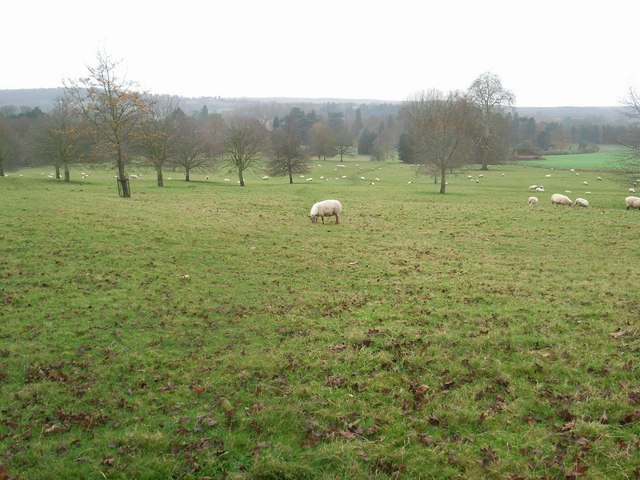
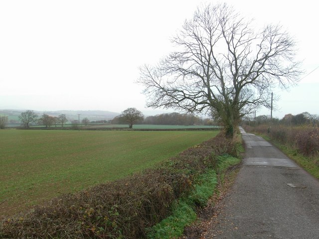
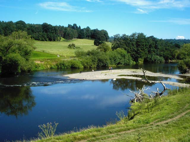
The valley is renowned for its stunning natural beauty and diverse wildlife. It boasts a rich variety of flora and fauna, making it a haven for nature enthusiasts and bird watchers. The area is home to several rare species, including the elusive lesser spotted woodpecker and the beautiful purple emperor butterfly.
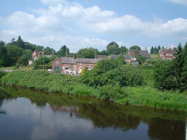
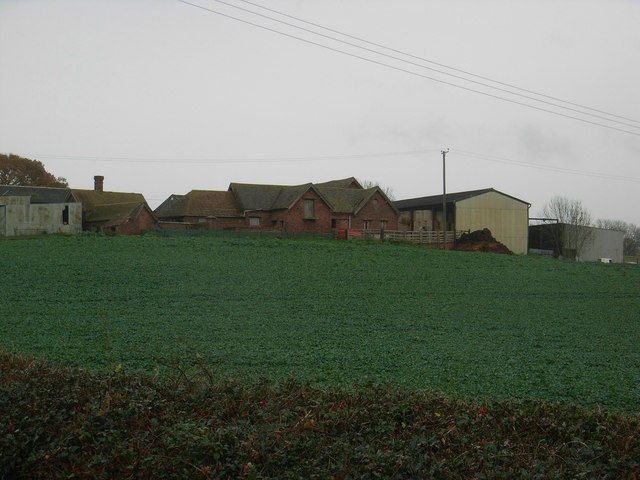
Bateman's Dingle is also steeped in history, with evidence of human activity dating back to the Roman era. The remains of an ancient Roman road can still be seen in the valley, serving as a reminder of its historical significance. Additionally, the dingle is dotted with remnants of old mills and quarries, adding to its charm and providing visitors with a glimpse into its industrial past.
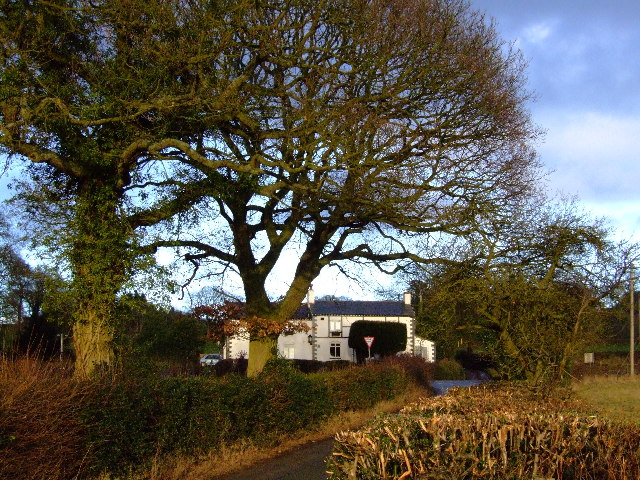
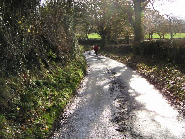
The valley offers a range of activities for visitors to enjoy. There are numerous walking trails that wind through the valley, allowing visitors to explore its natural wonders at their own pace. The area is also popular for picnicking and camping, providing an opportunity to immerse oneself in the stunning surroundings.
Overall, Bateman's Dingle is a captivating destination that combines natural beauty with a rich history. Whether one is seeking a peaceful retreat or an adventure in the great outdoors, this valley in Staffordshire offers a memorable experience for all.
If you have any feedback on the listing, please let us know in the comments section below.
Bateman's Dingle Images
Images are sourced within 2km of 52.426247/-2.3324191 or Grid Reference SO7780. Thanks to Geograph Open Source API. All images are credited.

Bateman's Dingle is located at Grid Ref: SO7780 (Lat: 52.426247, Lng: -2.3324191)
Administrative County: Worcestershire
District: Wyre Forest
Police Authority: West Mercia
What 3 Words
///annual.pigment.private. Near Romsley, Shropshire
Nearby Locations
Related Wikis

Arley House and Gardens
Arley House and Gardens are situated at Upper Arley, about 4 miles (6.4 km) north-west of Bewdley, in Worcestershire, England. The gardens, arboretum and...

Upper Arley
Upper Arley (grid reference SO765805) is a village and civil parish near Kidderminster in the Wyre Forest District of Worcestershire, England. Historically...

Shatterford Hill
Shatterford Hill is an English geographical feature that extends from Bewdley in north Worcestershire to Birdsgreen near Alveley, just over the border...

Arley railway station
Arley railway station is a station on the Severn Valley Railway heritage line in Worcestershire, situated just over the River Severn from the village of...

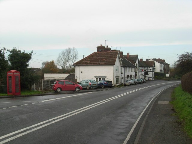
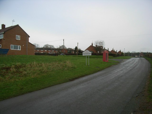
Shatterford
Shatterford is a village in the Wyre Forest District of Worcestershire, England, located north-west of Bewdley and lies less than a mile from the county...

Victoria Bridge, Worcestershire
The Victoria Bridge crosses the River Severn between Arley and Bewdley in Worcestershire, England. At the time of its construction, the 200-foot railway...

Romsley, Shropshire
Romsley (grid reference SO783826) is a hamlet and civil parish in southeast Shropshire, England. It is bounded on the north and west by Alveley and on...

Pound Green
Pound Green is a hamlet in Upper Arley, Worcestershire, England. It has a number of tourist landmarks such as Ye Olde New Inn and a village hall that also...
Nearby Amenities
Located within 500m of 52.426247,-2.3324191Have you been to Bateman's Dingle?
Leave your review of Bateman's Dingle below (or comments, questions and feedback).